
| Memorials | : | 0 |
| Location | : | Elton, Huntingdonshire District, England |
| Coordinate | : | 52.5320200, -0.4063200 |
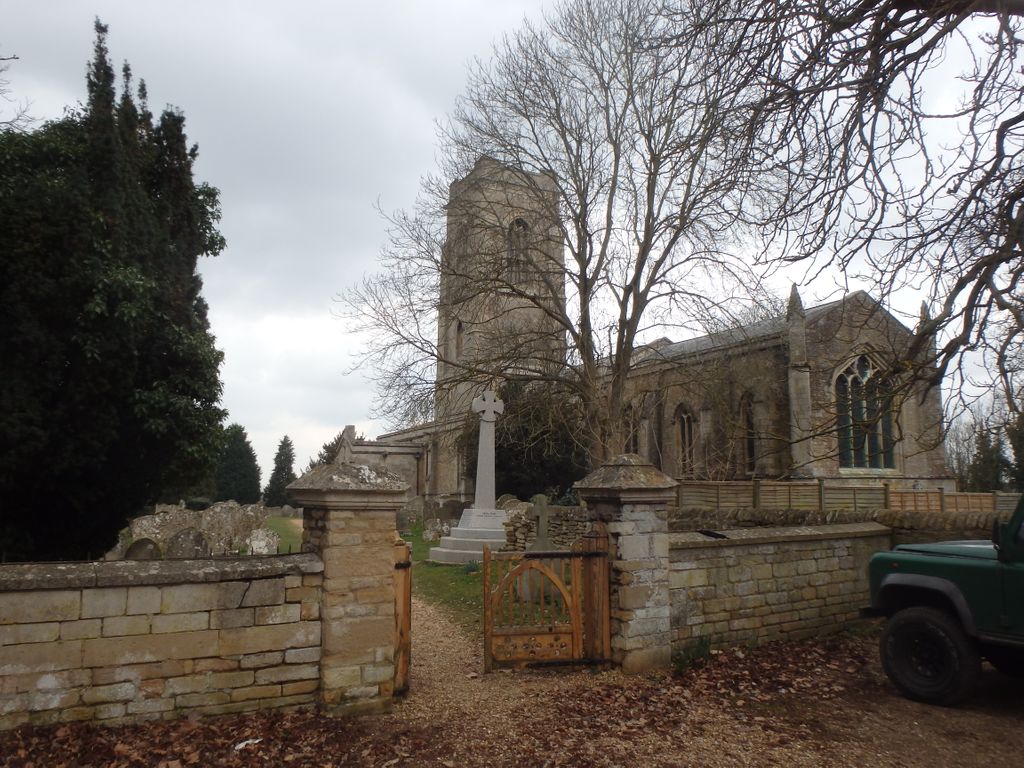
| Description | : | Elton is a small village within the historic boundaries of Huntingdonshire (now part of Cambridgeshire), England. It lies on the B671 road. Elton Hall and the hamlet of Over End are located on the same road a mile south of the village. |
frequently asked questions (FAQ):
-
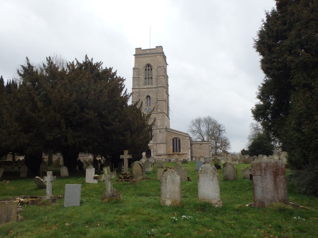
Where is All Saints Churchyard?
All Saints Churchyard is located at Elton, Huntingdonshire District ,Cambridgeshire , PE8 6RUEngland.
-
All Saints Churchyard cemetery's updated grave count on graveviews.com?
0 memorials
-
Where are the coordinates of the All Saints Churchyard?
Latitude: 52.5320200
Longitude: -0.4063200
Nearby Cemetories:
1. Fotheringhay Castle
Fotheringhay, East Northamptonshire Borough, England
Coordinate: 52.5243170, -0.4363420
2. St Mary the Virgin and All Saints Churchyard
Fotheringhay, East Northamptonshire Borough, England
Coordinate: 52.5258330, -0.4390740
3. Saint Mary the Virgin Churchyard
Warmington, East Northamptonshire Borough, England
Coordinate: 52.5064111, -0.4144919
4. Saint Mary the Virgin & All Saints Churchyard
Nassington, East Northamptonshire Borough, England
Coordinate: 52.5530000, -0.4332000
5. Yarwell Anglican and Methodist Church
Yarwell, East Northamptonshire Borough, England
Coordinate: 52.5671280, -0.4216160
6. St. Mary's Churchyard
Tansor, East Northamptonshire Borough, England
Coordinate: 52.5057500, -0.4493700
7. Nassington and Yarwell Cemetery
Yarwell, East Northamptonshire Borough, England
Coordinate: 52.5682373, -0.4263580
8. St Remigius Churchyard
Water Newton, Huntingdonshire District, England
Coordinate: 52.5624550, -0.3656390
9. St. Michael's Churchyard
Chesterton, Huntingdonshire District, England
Coordinate: 52.5451434, -0.3400366
10. St John the Baptist Churchyard
Stibbington, Huntingdonshire District, England
Coordinate: 52.5748920, -0.3926720
11. St Mary Churchyard
Woodnewton, East Northamptonshire Borough, England
Coordinate: 52.5392210, -0.4795790
12. St. Michael & All Angels
Sutton, Peterborough Unitary Authority, England
Coordinate: 52.5754356, -0.3853515
13. St. Mary's Churchyard
Peterborough, Peterborough Unitary Authority, England
Coordinate: 52.5184227, -0.3295881
14. St Mary the Virgin Church
Wansford, Huntingdonshire District, England
Coordinate: 52.5805160, -0.4173890
15. St. Andrew's Church
Alwalton, Huntingdonshire District, England
Coordinate: 52.5495800, -0.3297610
16. Alwalton Cemetery
Alwalton, Huntingdonshire District, England
Coordinate: 52.5501113, -0.3288831
17. St Leonard Churchyard
Apethorpe, East Northamptonshire Borough, England
Coordinate: 52.5495140, -0.4899340
18. All Saints
Morborne, Huntingdonshire District, England
Coordinate: 52.5094990, -0.3228910
19. St Kyneburgha Churchyard
Castor, Peterborough Unitary Authority, England
Coordinate: 52.5729580, -0.3417630
20. St Leonard's Churchyard
Glapthorn, East Northamptonshire Borough, England
Coordinate: 52.5001397, -0.4924849
21. St. Peter's Churchyard
Oundle, East Northamptonshire Borough, England
Coordinate: 52.4817430, -0.4671130
22. Oundle Cemetery
Oundle, East Northamptonshire Borough, England
Coordinate: 52.4799120, -0.4803840
23. Kings Cliffe Cemetery
Kings Cliffe, East Northamptonshire Borough, England
Coordinate: 52.5605586, -0.5102005
24. All Saints Churchyard
Kings Cliffe, East Northamptonshire Borough, England
Coordinate: 52.5622450, -0.5160080