
| Memorials | : | 8 |
| Location | : | Tansor, East Northamptonshire Borough, England |
| Coordinate | : | 52.5057500, -0.4493700 |
frequently asked questions (FAQ):
-
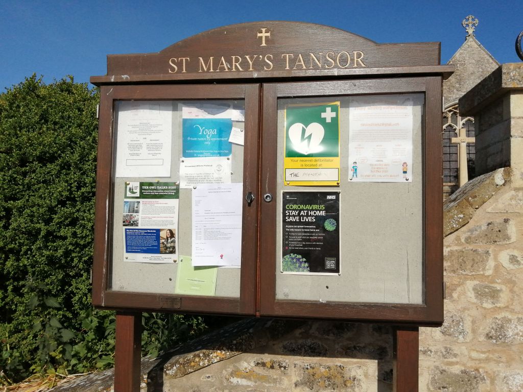
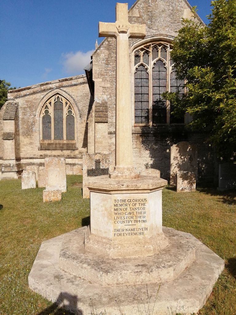
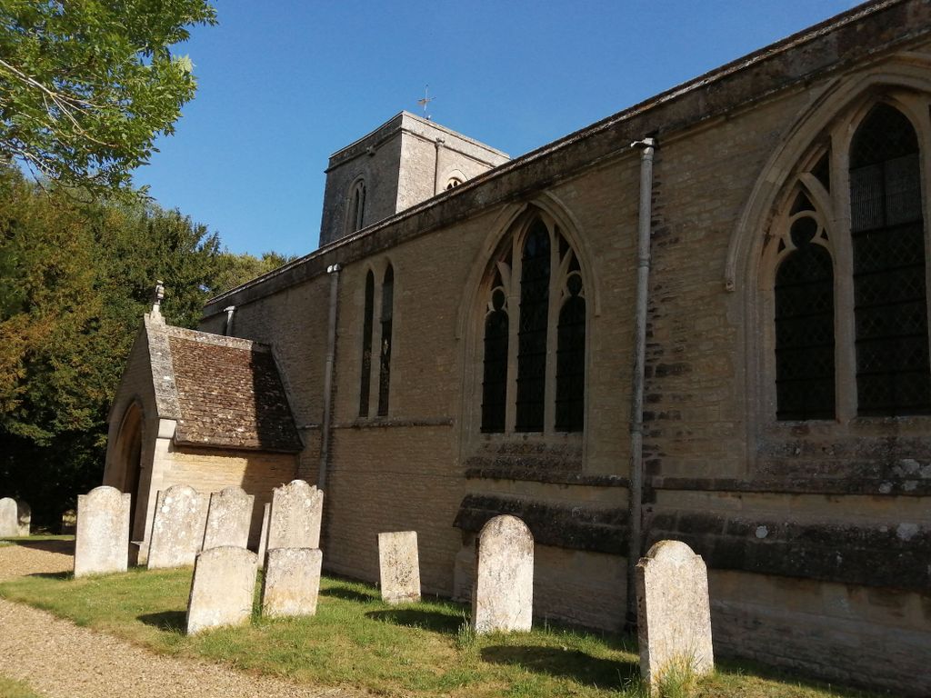
Where is St. Mary's Churchyard?
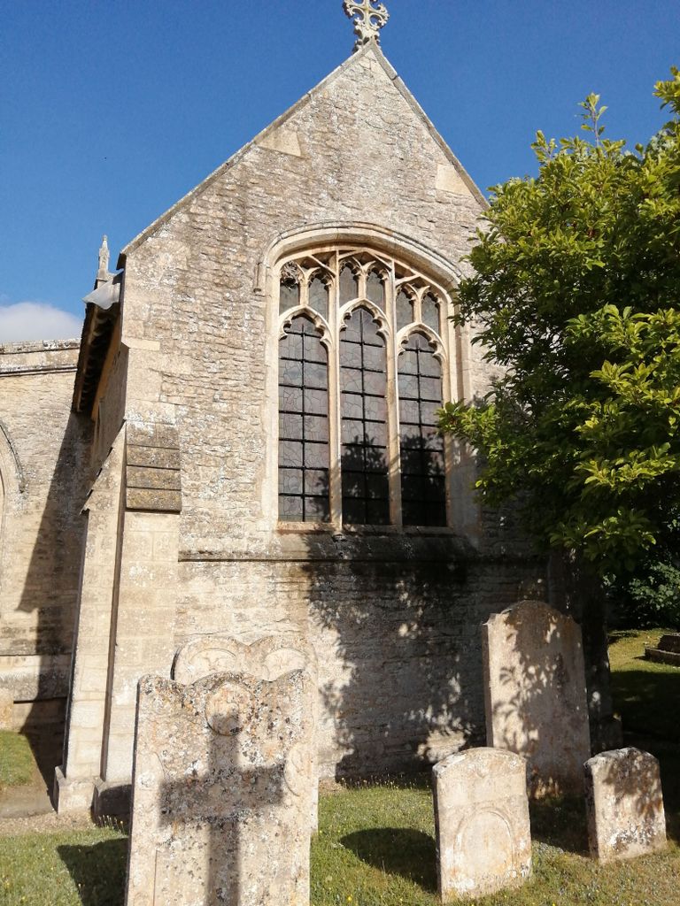
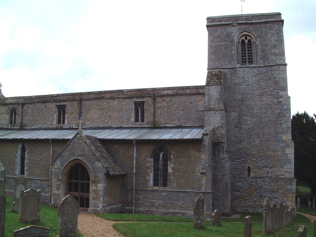
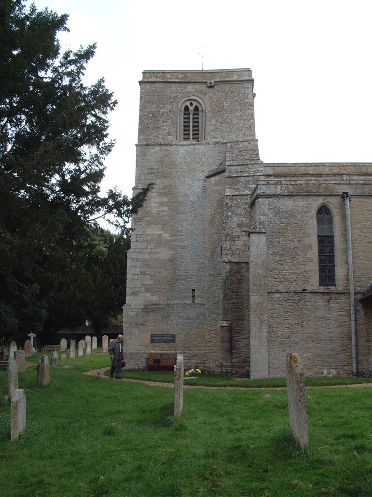
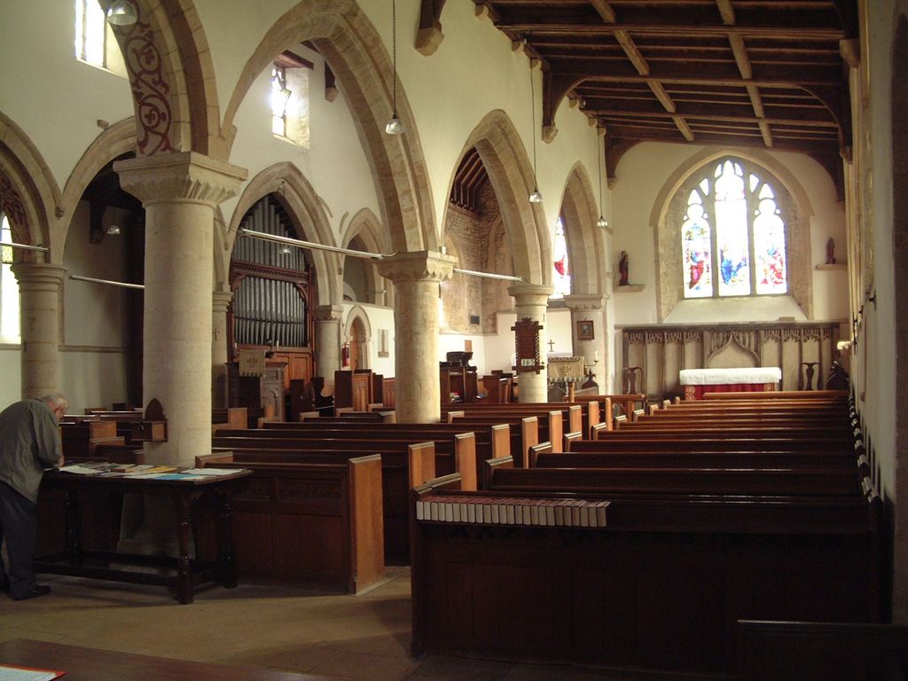
St. Mary's Churchyard is located at Tansor, East Northamptonshire Borough ,Northamptonshire ,England.
-
St. Mary's Churchyard cemetery's updated grave count on graveviews.com?
8 memorials
-
Where are the coordinates of the St. Mary's Churchyard?
Latitude: 52.5057500
Longitude: -0.4493700
Nearby Cemetories:
1. Fotheringhay Castle
Fotheringhay, East Northamptonshire Borough, England
Coordinate: 52.5243170, -0.4363420
2. St Mary the Virgin and All Saints Churchyard
Fotheringhay, East Northamptonshire Borough, England
Coordinate: 52.5258330, -0.4390740
3. Saint Mary the Virgin Churchyard
Warmington, East Northamptonshire Borough, England
Coordinate: 52.5064111, -0.4144919
4. St. Peter's Churchyard
Oundle, East Northamptonshire Borough, England
Coordinate: 52.4817430, -0.4671130
5. St Leonard's Churchyard
Glapthorn, East Northamptonshire Borough, England
Coordinate: 52.5001397, -0.4924849
6. Oundle Cemetery
Oundle, East Northamptonshire Borough, England
Coordinate: 52.4799120, -0.4803840
7. All Saints Churchyard
Elton, Huntingdonshire District, England
Coordinate: 52.5320200, -0.4063200
8. St Mary Churchyard
Woodnewton, East Northamptonshire Borough, England
Coordinate: 52.5392210, -0.4795790
9. St. Rumbold Churchyard
Stoke Doyle, East Northamptonshire Borough, England
Coordinate: 52.4678253, -0.4880529
10. Saint Mary the Virgin & All Saints Churchyard
Nassington, East Northamptonshire Borough, England
Coordinate: 52.5530000, -0.4332000
11. St Leonard Churchyard
Apethorpe, East Northamptonshire Borough, England
Coordinate: 52.5495140, -0.4899340
12. All Saints Chancel
Barnwell, East Northamptonshire Borough, England
Coordinate: 52.4482400, -0.4594600
13. St. Mary Churchyard
Benefield, East Northamptonshire Borough, England
Coordinate: 52.4854100, -0.5460660
14. Yarwell Anglican and Methodist Church
Yarwell, East Northamptonshire Borough, England
Coordinate: 52.5671280, -0.4216160
15. Nassington and Yarwell Cemetery
Yarwell, East Northamptonshire Borough, England
Coordinate: 52.5682373, -0.4263580
16. Kings Cliffe Cemetery
Kings Cliffe, East Northamptonshire Borough, England
Coordinate: 52.5605586, -0.5102005
17. All Saints Churchyard
Kings Cliffe, East Northamptonshire Borough, England
Coordinate: 52.5622450, -0.5160080
18. St. Mary's Churchyard
Peterborough, Peterborough Unitary Authority, England
Coordinate: 52.5184227, -0.3295881
19. St Remigius Churchyard
Water Newton, Huntingdonshire District, England
Coordinate: 52.5624550, -0.3656390
20. All Saints
Morborne, Huntingdonshire District, England
Coordinate: 52.5094990, -0.3228910
21. St Mary the Virgin Church
Wansford, Huntingdonshire District, England
Coordinate: 52.5805160, -0.4173890
22. St John the Baptist Churchyard
Stibbington, Huntingdonshire District, England
Coordinate: 52.5748920, -0.3926720
23. St. Michael's Churchyard
Chesterton, Huntingdonshire District, England
Coordinate: 52.5451434, -0.3400366
24. St James the Great
Thurning, East Northamptonshire Borough, England
Coordinate: 52.4327883, -0.4042219