| Memorials | : | 3 |
| Location | : | Hampreston, East Dorset District, England |
| Coordinate | : | 50.7887250, -1.9231050 |
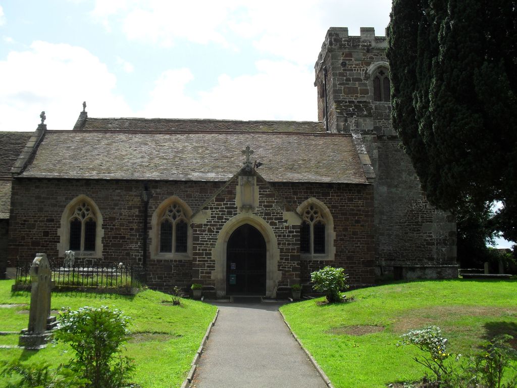
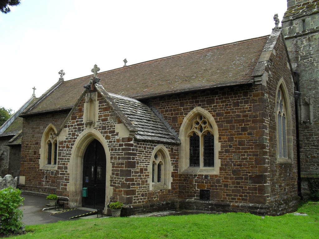
| Description | : | The origins of the Church lie in the Saxon period up to 1066. It was formerly a chapelry of Wimborne Minster, but became a parish in it's own right in 1440, with the hamlets of Stapehill & Longham. The Parish was incorporated into the electoral division of Ferndown in 1972. The building is constructed of stone in the early English style, consisting of chancel, nave, aisle, north porch and an embattled western tower, containing 5 bells. It was enlarged several times during the 19th & 20th centuries. |
frequently asked questions (FAQ):
-
Where is All Saints Churchyard?
All Saints Churchyard is located at Stapehill Road Hampreston, East Dorset District ,Dorset , BH21 7LXEngland.
-
All Saints Churchyard cemetery's updated grave count on graveviews.com?
2 memorials
-
Where are the coordinates of the All Saints Churchyard?
Latitude: 50.7887250
Longitude: -1.9231050
Nearby Cemetories:
1. St. Andrew's Churchyard
Kinson, Bournemouth Unitary Authority, England
Coordinate: 50.7718700, -1.9049920
2. Canford Magna Parish Church
Canford Magna, East Dorset District, England
Coordinate: 50.7889000, -1.9560000
3. St Mary Churchyard
Ferndown, East Dorset District, England
Coordinate: 50.7997260, -1.8935890
4. Canford Magna Civic Cemetery
Canford Magna, East Dorset District, England
Coordinate: 50.7845320, -1.9571820
5. Kinson Cemetery
Bournemouth, Bournemouth Unitary Authority, England
Coordinate: 50.7612600, -1.9030400
6. East Howe United Reformed Church Cemetery
Bournemouth, Bournemouth Unitary Authority, England
Coordinate: 50.7590790, -1.8996290
7. All Saints Churchyard
West Parley, East Dorset District, England
Coordinate: 50.7710152, -1.8783700
8. St Michael and All Angels Churchyard
Colehill, East Dorset District, England
Coordinate: 50.8104720, -1.9661400
9. Woodland Burial Ground
Colehill, East Dorset District, England
Coordinate: 50.8088100, -1.9737900
10. Poole and Wimborne Woodland Burial Ground
Wimborne, East Dorset District, England
Coordinate: 50.8097500, -1.9745150
11. Poole Crematorium
Broadstone, Poole Unitary Authority, England
Coordinate: 50.7664860, -1.9764920
12. West Moors Cemetery
West Moors, East Dorset District, England
Coordinate: 50.8158410, -1.8737500
13. St. Cuthberga Churchyard
Wimborne Minster, East Dorset District, England
Coordinate: 50.7989260, -1.9880560
14. St. Mark's Churchyard
Bournemouth Unitary Authority, England
Coordinate: 50.7464670, -1.9026870
15. Broadstone Cemetery
Broadstone, Poole Unitary Authority, England
Coordinate: 50.7651160, -1.9829030
16. St. Mary the Virgin Church Cemetery
West Moors, East Dorset District, England
Coordinate: 50.8299273, -1.8895069
17. Wimborne Cemetery
Wimborne, East Dorset District, England
Coordinate: 50.8040910, -1.9942650
18. St John the Baptist Churchyard
Bournemouth, Bournemouth Unitary Authority, England
Coordinate: 50.7500600, -1.8778700
19. St. James' Churchyard
Holt, East Dorset District, England
Coordinate: 50.8347020, -1.9585820
20. St John the Baptist Churchyard
Broadstone, Poole Unitary Authority, England
Coordinate: 50.7620490, -1.9933870
21. Throop United Reform Churchyard
Throop, Bournemouth Unitary Authority, England
Coordinate: 50.7630100, -1.8497100
22. Branksome Cemetery
Parkstone, Poole Unitary Authority, England
Coordinate: 50.7362200, -1.9408200
23. Throop Jewish Cemetery
Bournemouth, Bournemouth Unitary Authority, England
Coordinate: 50.7600190, -1.8504310
24. St. Clement's Church
Parkstone, Poole Unitary Authority, England
Coordinate: 50.7377830, -1.9534610


