
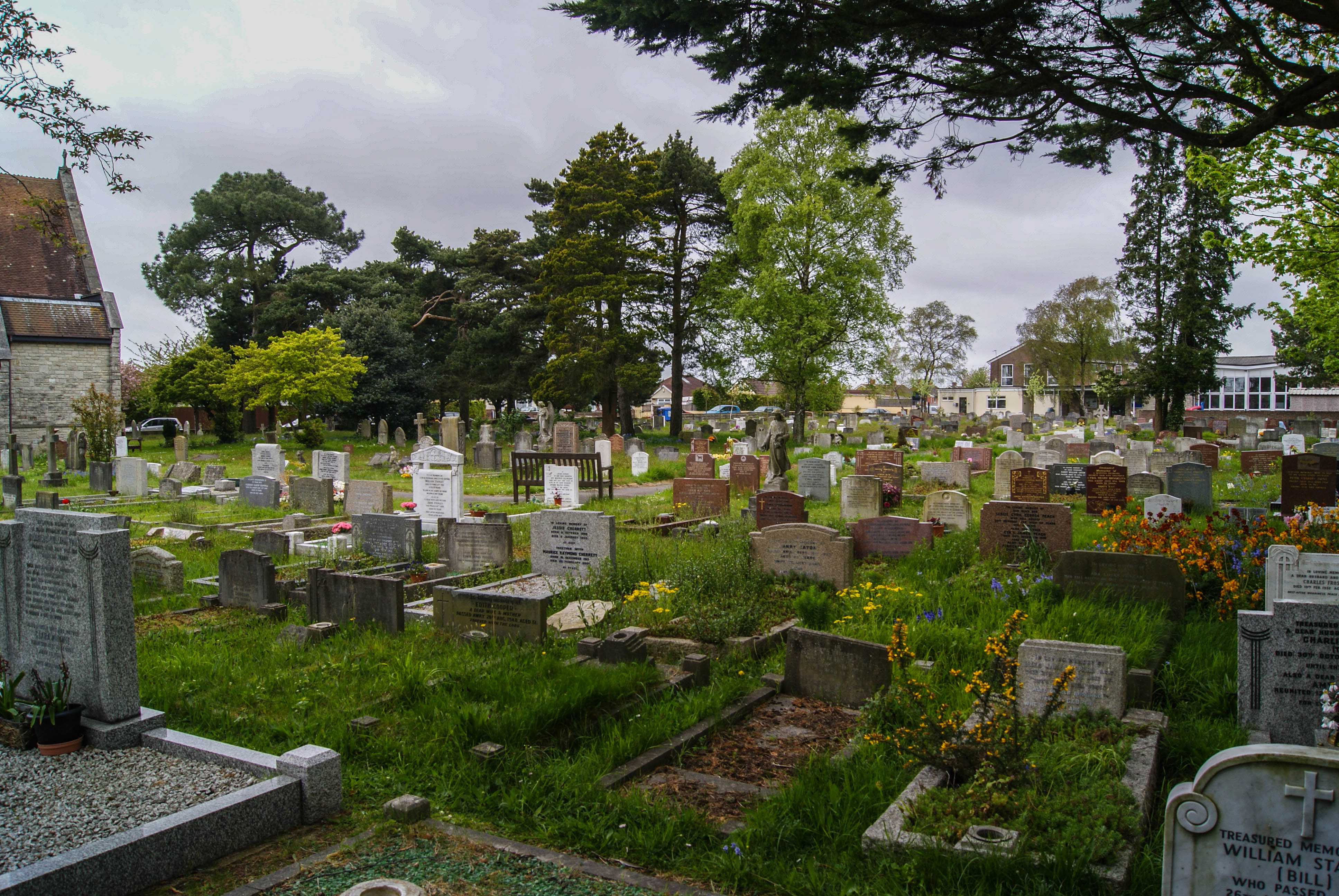
| Memorials | : | 24 |
| Location | : | Parkstone, Poole Unitary Authority, England |
| Coordinate | : | 50.7377830, -1.9534610 |
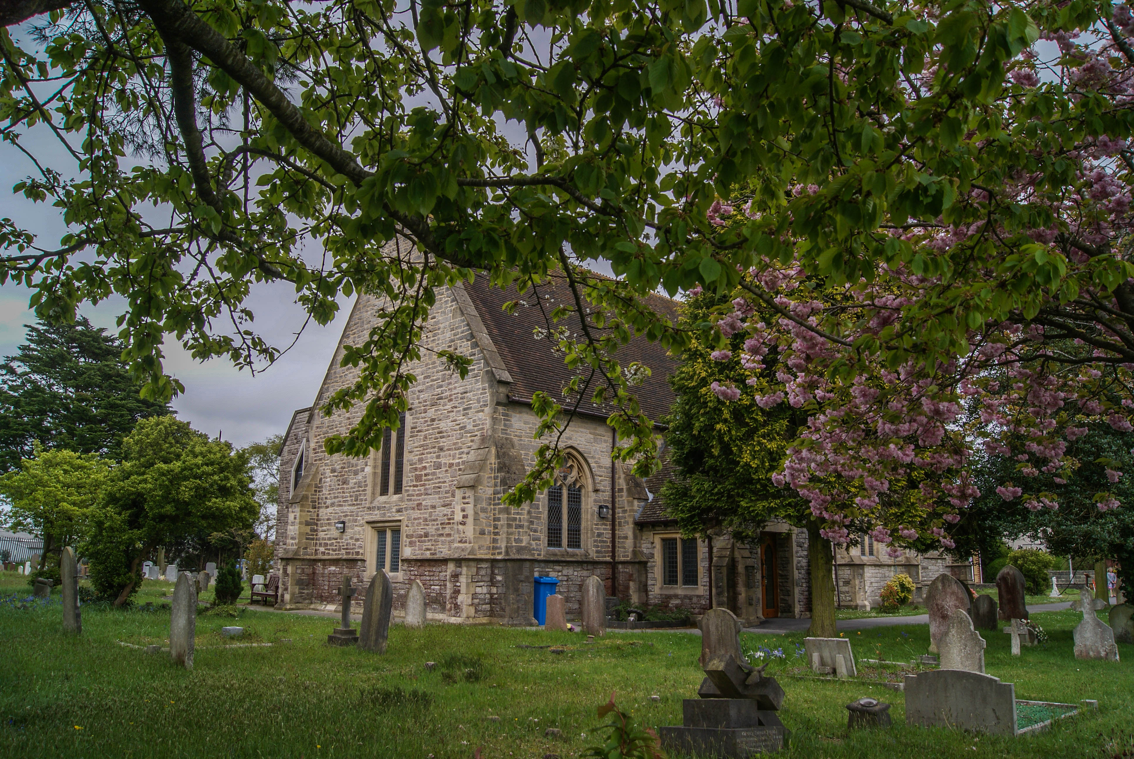
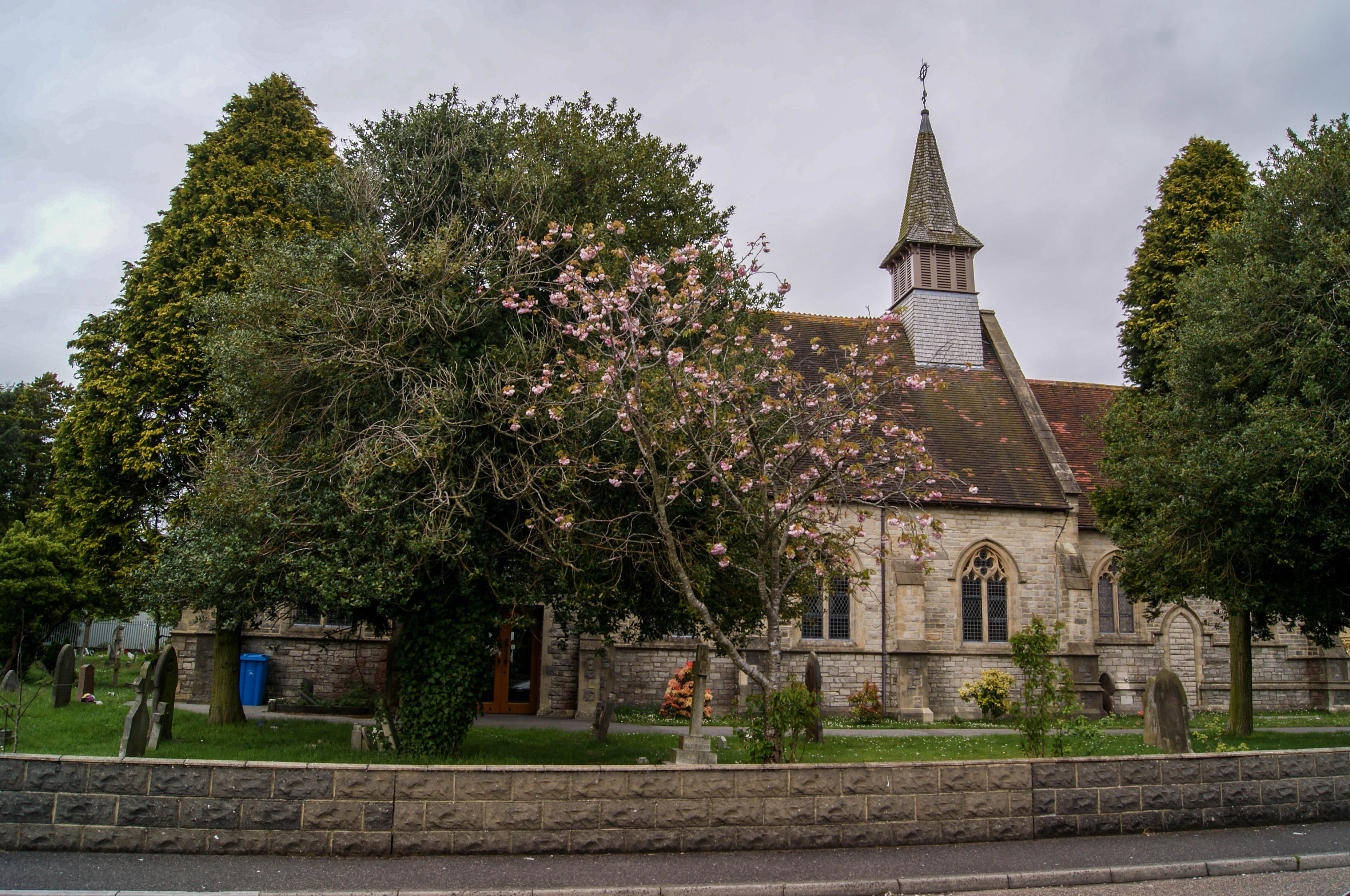
| Description | : | St. Clement's Church was built in 1887, to replace a nearby iron structured church which had sustained great damage in a storm in 1888. Part of the roof was torn off in the high winds and the tower complete with it's bell was thrown into the road. After a collection among the congregation and local people, the sum of £153 was raised. This was far short of the £3,000 sum required, so the funds were returned to the donors. At this time, Lord Wimborne offered to pay the full costs of building a new church, and work began on it's structure on... Read More |
frequently asked questions (FAQ):
-
Where is St. Clement's Church?
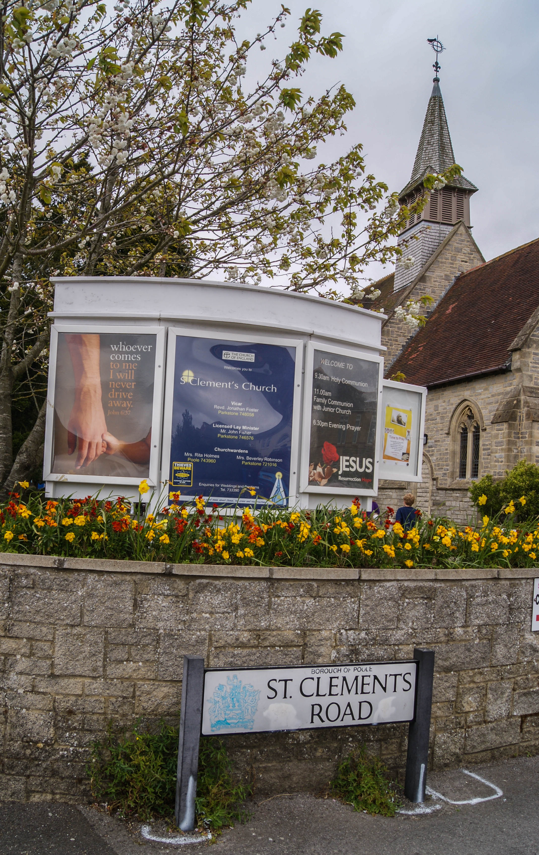
St. Clement's Church is located at St. Clement's Road Parkstone, Poole Unitary Authority ,Dorset , BH15 3PDEngland.
-
St. Clement's Church cemetery's updated grave count on graveviews.com?
24 memorials
-
Where are the coordinates of the St. Clement's Church?
Latitude: 50.7377830
Longitude: -1.9534610
Nearby Cemetories:
1. Poole Cemetery
Poole, Poole Unitary Authority, England
Coordinate: 50.7345060, -1.9642670
2. Branksome Cemetery
Parkstone, Poole Unitary Authority, England
Coordinate: 50.7362200, -1.9408200
3. St. Peter's Church
Parkstone, Poole Unitary Authority, England
Coordinate: 50.7245590, -1.9533390
4. St. Mary's Churchyard
Poole, Poole Unitary Authority, England
Coordinate: 50.7226400, -1.9716790
5. Parkstone Cemetery
Poole, Poole Unitary Authority, England
Coordinate: 50.7147430, -1.9492790
6. Hunger Hill Burial Ground
Poole, Poole Unitary Authority, England
Coordinate: 50.7169428, -1.9852496
7. Poole Crematorium
Broadstone, Poole Unitary Authority, England
Coordinate: 50.7664860, -1.9764920
8. Broadstone Cemetery
Broadstone, Poole Unitary Authority, England
Coordinate: 50.7651160, -1.9829030
9. St. Mark's Churchyard
Bournemouth Unitary Authority, England
Coordinate: 50.7464670, -1.9026870
10. St James Churchyard
Poole, Poole Unitary Authority, England
Coordinate: 50.7134850, -1.9897060
11. All Saints Churchyard
Poole, Poole Unitary Authority, England
Coordinate: 50.7134060, -1.9165840
12. St John the Baptist Churchyard
Broadstone, Poole Unitary Authority, England
Coordinate: 50.7620490, -1.9933870
13. St Ambrose Church
Bournemouth Unitary Authority, England
Coordinate: 50.7176530, -1.9004020
14. Kinson Cemetery
Bournemouth, Bournemouth Unitary Authority, England
Coordinate: 50.7612600, -1.9030400
15. St. Michael's Churchyard
Hamworthy, Poole Unitary Authority, England
Coordinate: 50.7199660, -2.0099190
16. East Howe United Reformed Church Cemetery
Bournemouth, Bournemouth Unitary Authority, England
Coordinate: 50.7590790, -1.8996290
17. St. Andrew's Churchyard
Kinson, Bournemouth Unitary Authority, England
Coordinate: 50.7718700, -1.9049920
18. Canford Magna Civic Cemetery
Canford Magna, East Dorset District, England
Coordinate: 50.7845320, -1.9571820
19. St. Mary's Church
Brownsea Island, Poole Unitary Authority, England
Coordinate: 50.6895400, -1.9615340
20. St John the Baptist Churchyard
Bournemouth, Bournemouth Unitary Authority, England
Coordinate: 50.7500600, -1.8778700
21. Wimborne Road Cemetery
Bournemouth, Bournemouth Unitary Authority, England
Coordinate: 50.7323220, -1.8739990
22. Canford Magna Parish Church
Canford Magna, East Dorset District, England
Coordinate: 50.7889000, -1.9560000
23. Upton Cemetery
Upton, Purbeck District, England
Coordinate: 50.7436900, -2.0348970
24. St Peter Churchyard
Bournemouth, Bournemouth Unitary Authority, England
Coordinate: 50.7205020, -1.8755870