
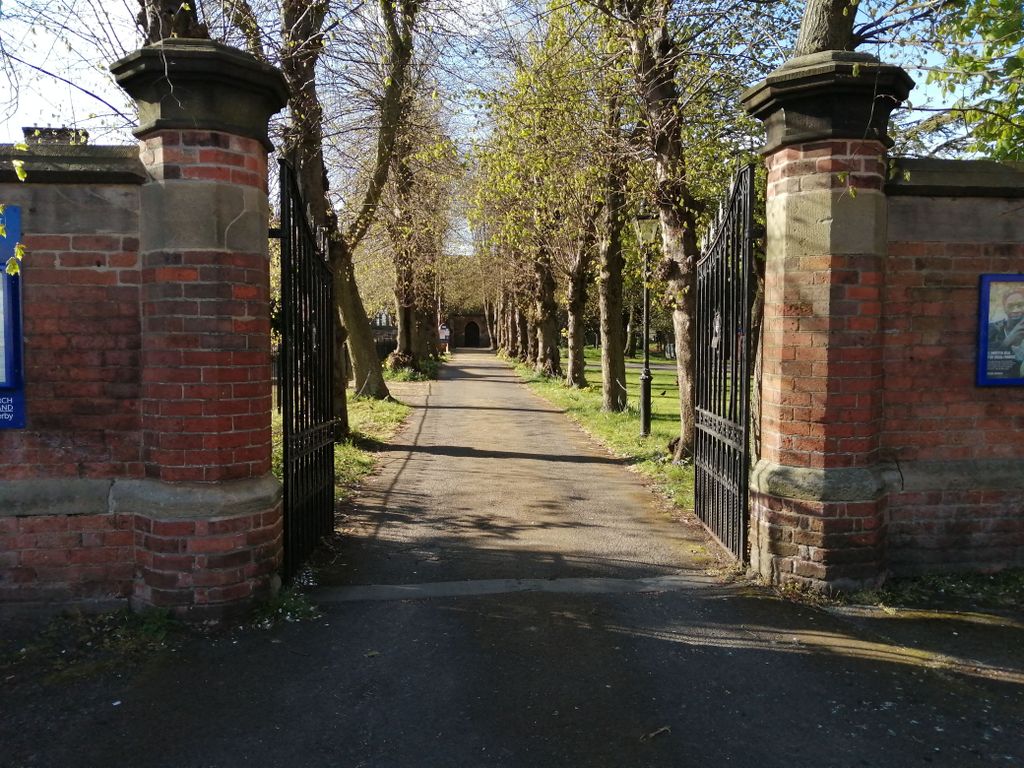
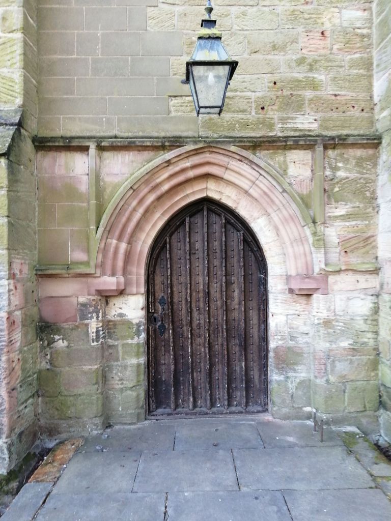
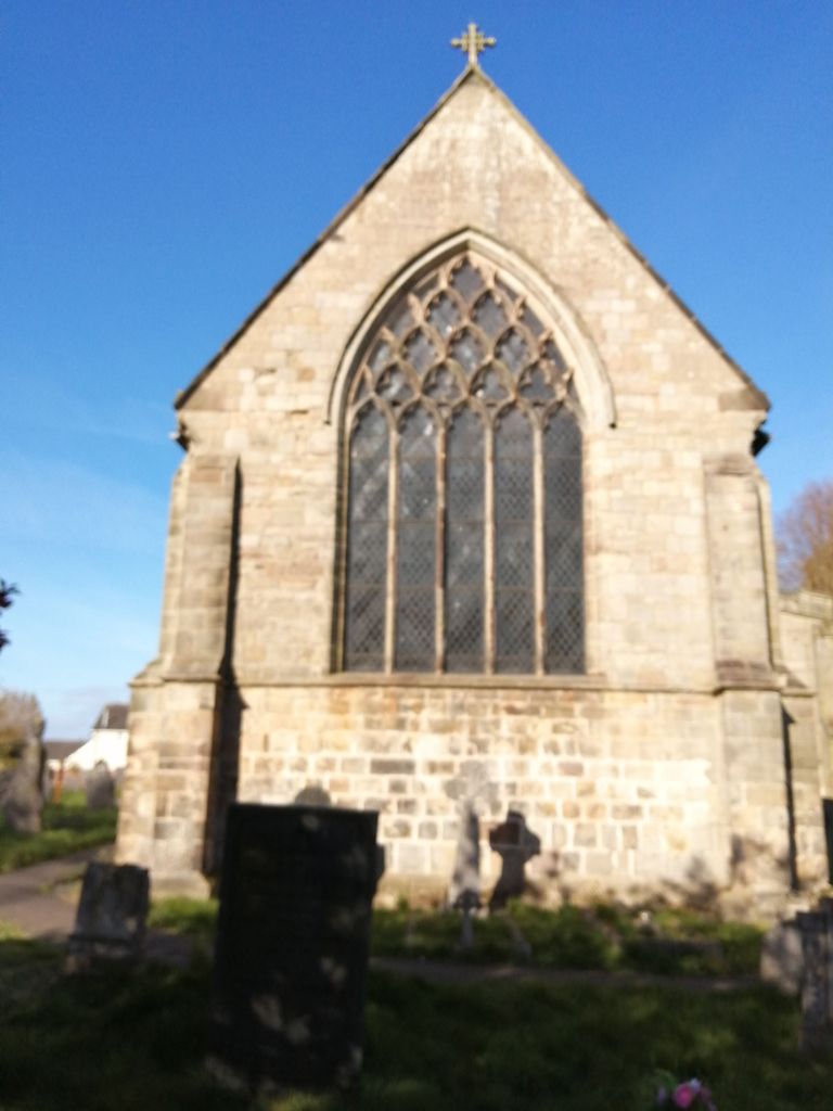
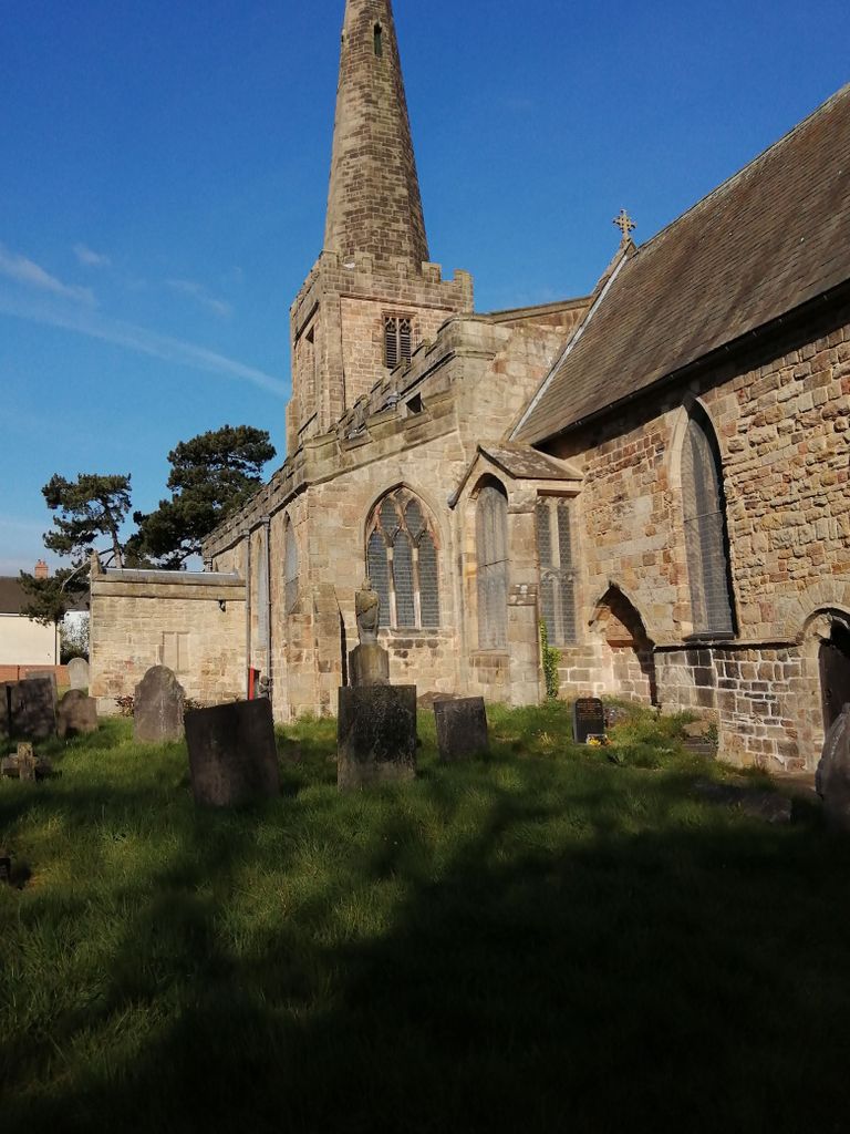
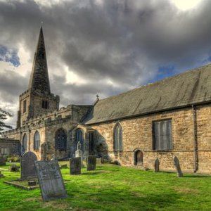
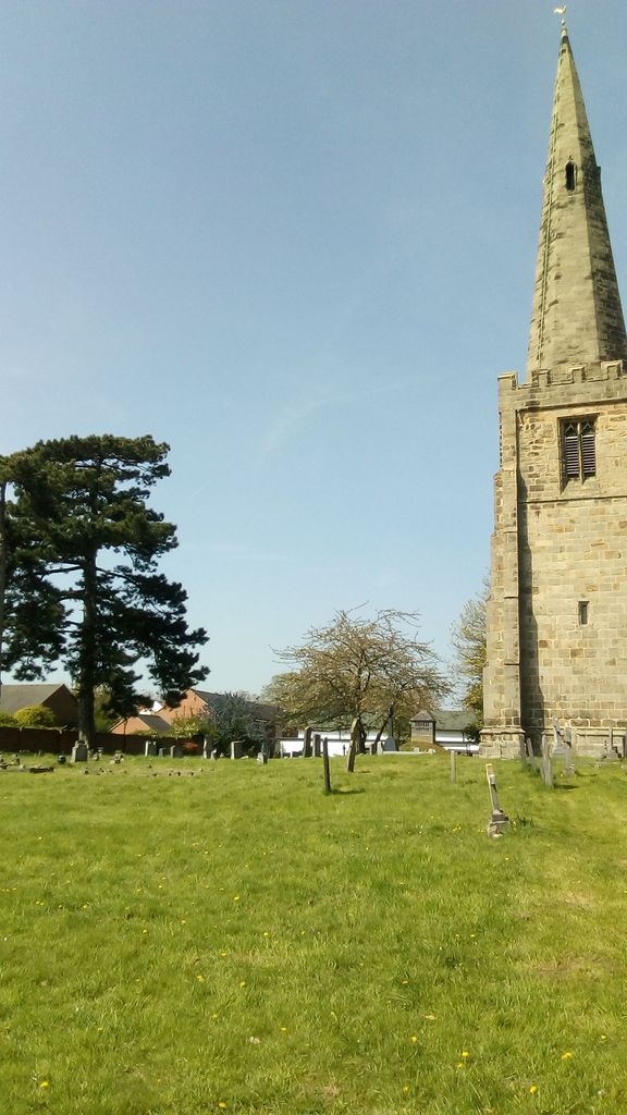
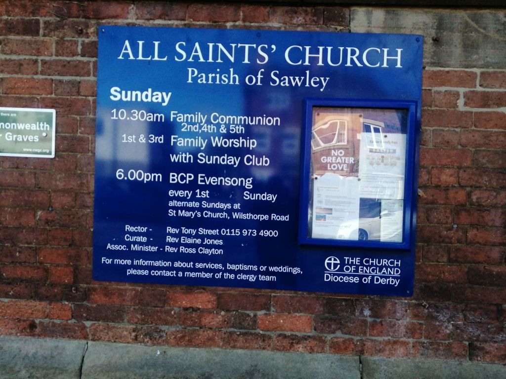
| Memorials | : | 0 |
| Location | : | Sawley, Erewash Borough, England |
| Coordinate | : | 52.8776016, -1.2995000 |
frequently asked questions (FAQ):
-
Where is All Saints Churchyard?
All Saints Churchyard is located at Sawley, Erewash Borough ,Derbyshire ,England.
-
All Saints Churchyard cemetery's updated grave count on graveviews.com?
0 memorials
-
Where are the coordinates of the All Saints Churchyard?
Latitude: 52.8776016
Longitude: -1.2995000

Nearby Cemetories:
1. Sawley Baptist Churchyard
Sawley, Erewash Borough, England
Coordinate: 52.8799410, -1.3009980
2. St. Michael Churchyard
Breaston, Erewash Borough, England
Coordinate: 52.8969700, -1.3176200
3. Long Eaton Cemetery
Long Eaton, Erewash Borough, England
Coordinate: 52.8986580, -1.2785390
4. St. Laurence Churchyard
Long Eaton, Erewash Borough, England
Coordinate: 52.8985000, -1.2710000
5. Holy Trinity Churchyard
Ratcliffe-on-Soar, Rushcliffe Borough, England
Coordinate: 52.8553380, -1.2665520
6. Saint Nicholas Churchyard
Lockington, North West Leicestershire District, England
Coordinate: 52.8468883, -1.3063910
7. St. Nicholas' Churchyard
Lockington, North West Leicestershire District, England
Coordinate: 52.8468300, -1.3065600
8. St James Churchyard
Shardlow, South Derbyshire District, England
Coordinate: 52.8686280, -1.3508150
9. All Saints Churchyard
Thrumpton, Rushcliffe Borough, England
Coordinate: 52.8755100, -1.2440800
10. Castle Donington Cemetery
Castle Donington, North West Leicestershire District, England
Coordinate: 52.8431520, -1.3307570
11. Quaker Burial Ground
Castle Donington, North West Leicestershire District, England
Coordinate: 52.8435100, -1.3328900
12. All Saints Risley Churchyard
Risley, Erewash Borough, England
Coordinate: 52.9164000, -1.3158000
13. St. Edward King & Martyr Churchyard
Castle Donington, North West Leicestershire District, England
Coordinate: 52.8417000, -1.3383000
14. Saint Andrew's Churchyard
Kegworth, North West Leicestershire District, England
Coordinate: 52.8358160, -1.2780850
15. Kegworth Cemetery
Kegworth, North West Leicestershire District, England
Coordinate: 52.8332680, -1.2816790
16. St Mary's Church Attenborough
Beeston, Broxtowe Borough, England
Coordinate: 52.9039568, -1.2302235
17. Chilwell Cemetery
Nottingham, Nottingham Unitary Authority, England
Coordinate: 52.9164070, -1.2430800
18. Moor Lane
Aston on Trent, South Derbyshire District, England
Coordinate: 52.8651600, -1.3826900
19. All Saints Churchyard
Aston on Trent, South Derbyshire District, England
Coordinate: 52.8606040, -1.3866670
20. Stapleford Cemetery
Stapleford, Broxtowe Borough, England
Coordinate: 52.9299770, -1.2699190
21. Methodist Cemetery
Borrowash, Erewash Borough, England
Coordinate: 52.9064496, -1.3784038
22. St. Helen's Churchyard
Stapleford, Broxtowe Borough, England
Coordinate: 52.9316670, -1.2744440
23. All Saints Churchyard
Ockbrook, Erewash Borough, England
Coordinate: 52.9170770, -1.3713030
24. St Bartholomew Churchyard
Elvaston, South Derbyshire District, England
Coordinate: 52.8926540, -1.3965070