
| Memorials | : | 0 |
| Location | : | Pyecombe, Mid Sussex District, England |
| Coordinate | : | 50.8984590, -0.1642370 |
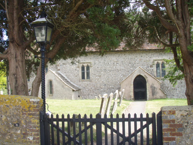
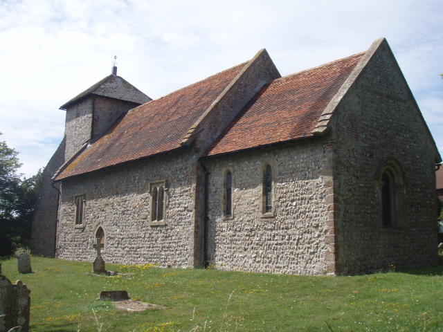
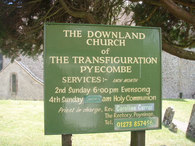
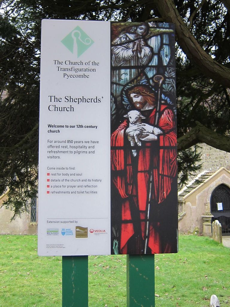
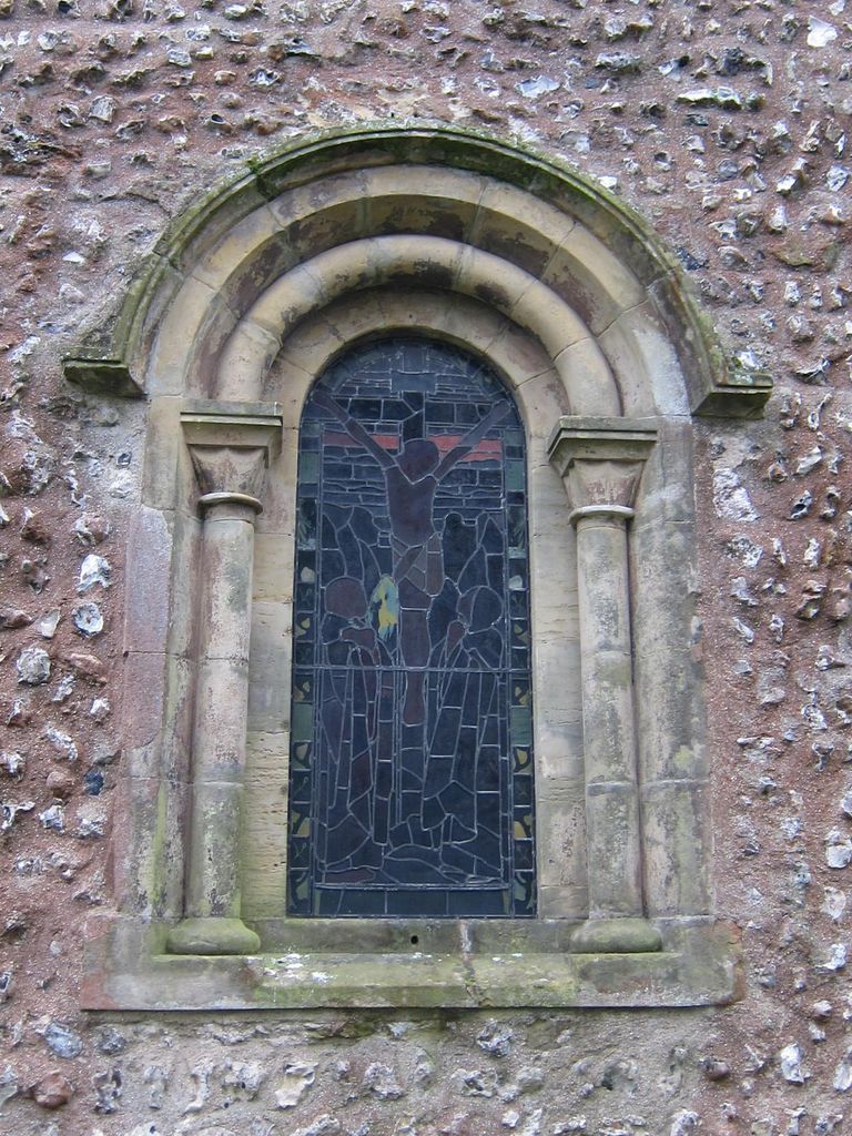
| Description | : | Pyecombe is in West Sussex, England. It is located seven miles (11 km) to the north of Brighton. The parish church, the Church of the Transfiguration, was largely built in 1170. Added by Wertypop The Transfiguration : |
frequently asked questions (FAQ):
-
Where is Church of the Transfiguration Churchyard?
Church of the Transfiguration Churchyard is located at Church Hill Pyecombe, Mid Sussex District ,West Sussex ,England.
-
Church of the Transfiguration Churchyard cemetery's updated grave count on graveviews.com?
0 memorials
-
Where are the coordinates of the Church of the Transfiguration Churchyard?
Latitude: 50.8984590
Longitude: -0.1642370


Nearby Cemetories:
1. St John the Baptist Churchyard
Clayton, Mid Sussex District, England
Coordinate: 50.9105170, -0.1534370
2. Patcham Down Indian Forces Cremation Memorial
Patcham, Brighton and Hove Unitary Authority, England
Coordinate: 50.8841200, -0.1473900
3. Clayton Wood Natural Burial Ground
Clayton, Mid Sussex District, England
Coordinate: 50.9160900, -0.1547600
4. Poynings Cemetery
Poynings, Mid Sussex District, England
Coordinate: 50.8931150, -0.2024450
5. St Cosmas and St Damian Churchyard
Hassocks, Mid Sussex District, England
Coordinate: 50.9219800, -0.1305650
6. Hurstpierpoint South Avenue Cemetery
Hurstpierpoint, Mid Sussex District, England
Coordinate: 50.9300110, -0.1753150
7. All Saints Churchyard
Patcham, Brighton and Hove Unitary Authority, England
Coordinate: 50.8665100, -0.1510800
8. Holy Trinity Churchyard
Hurstpierpoint, Mid Sussex District, England
Coordinate: 50.9337020, -0.1804460
9. Ditchling Unitarian Chapel Chapelyard
Ditchling, Lewes District, England
Coordinate: 50.9214096, -0.1129916
10. The Browne Burial Ground
Ditchling, Lewes District, England
Coordinate: 50.9213097, -0.1128219
11. Ditchling Cemetery
Ditchling, Lewes District, England
Coordinate: 50.9196160, -0.1050510
12. St Martin Churchyard
Westmeston, Lewes District, England
Coordinate: 50.9066840, -0.0971980
13. Stanmer Churchyard
Stanmer, Brighton and Hove Unitary Authority, England
Coordinate: 50.8702740, -0.1019400
14. Saint Helen's Churchyard
Hangleton, Brighton and Hove Unitary Authority, England
Coordinate: 50.8510910, -0.2008410
15. West Blatchington St. Peter Churchyard
Hove, Brighton and Hove Unitary Authority, England
Coordinate: 50.8472720, -0.1851550
16. Burgess Hill Burial Ground
Burgess Hill, Mid Sussex District, England
Coordinate: 50.9542794, -0.1583567
17. Saint Peter's Churchyard
Preston, Brighton and Hove Unitary Authority, England
Coordinate: 50.8430580, -0.1506110
18. Bishop Hannington Memorial Church
Hove, Brighton and Hove Unitary Authority, England
Coordinate: 50.8427530, -0.1871460
19. Streat Churchyard
Streat, Lewes District, England
Coordinate: 50.9202600, -0.0794500
20. St Peter's Churchyard
Woodmancote, Horsham District, England
Coordinate: 50.9213180, -0.2497350
21. St Michael and All Angels Churchyard
Plumpton, Lewes District, England
Coordinate: 50.9050700, -0.0717450
22. All Saints United Reformed Church
Burgess Hill, Mid Sussex District, England
Coordinate: 50.9537245, -0.1252350
23. Cardinal Newman Catholic School Cemetery
Hove, Brighton and Hove Unitary Authority, England
Coordinate: 50.8369870, -0.1586370
24. St. John the Evangelist Churchyard
Burgess Hill, Mid Sussex District, England
Coordinate: 50.9570100, -0.1333700