
| Memorials | : | 0 |
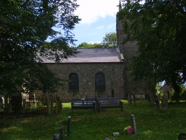
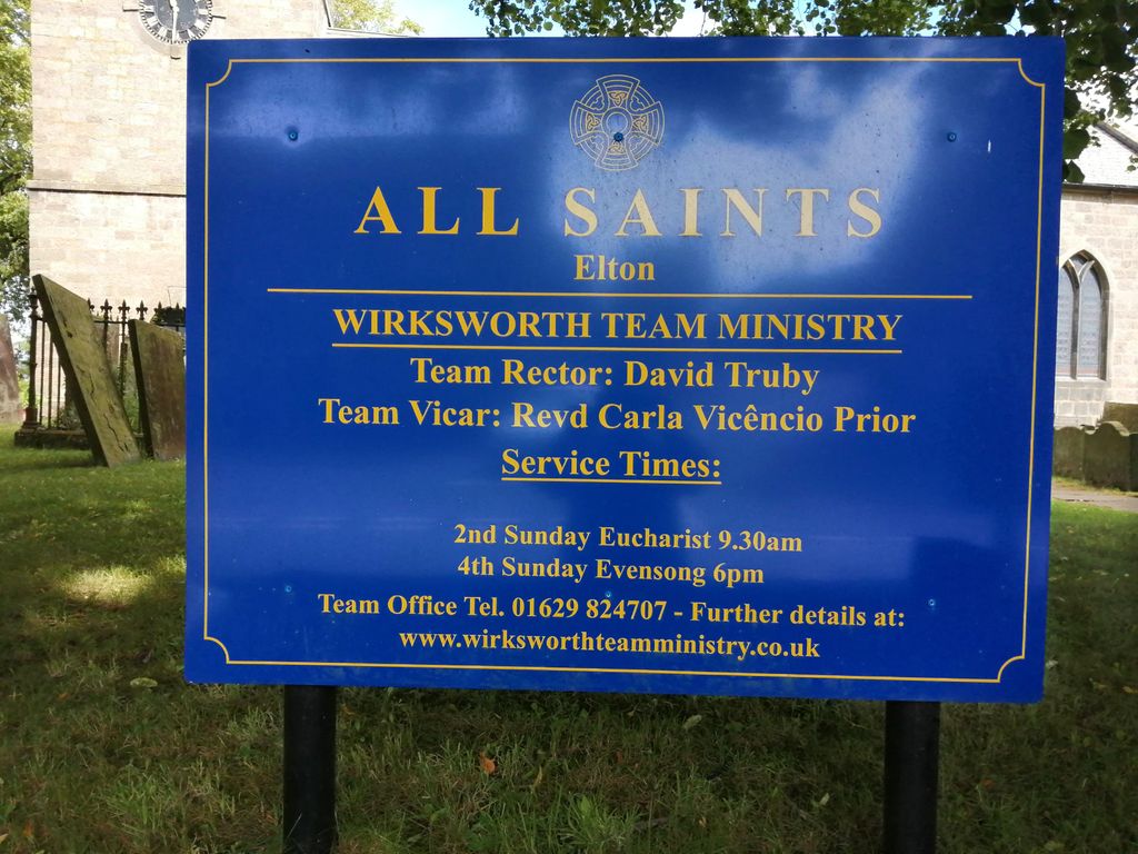
| Location | : | Elton, Derbyshire Dales District, England |
| Coordinate | : | 53.1455078, -1.6700720 |
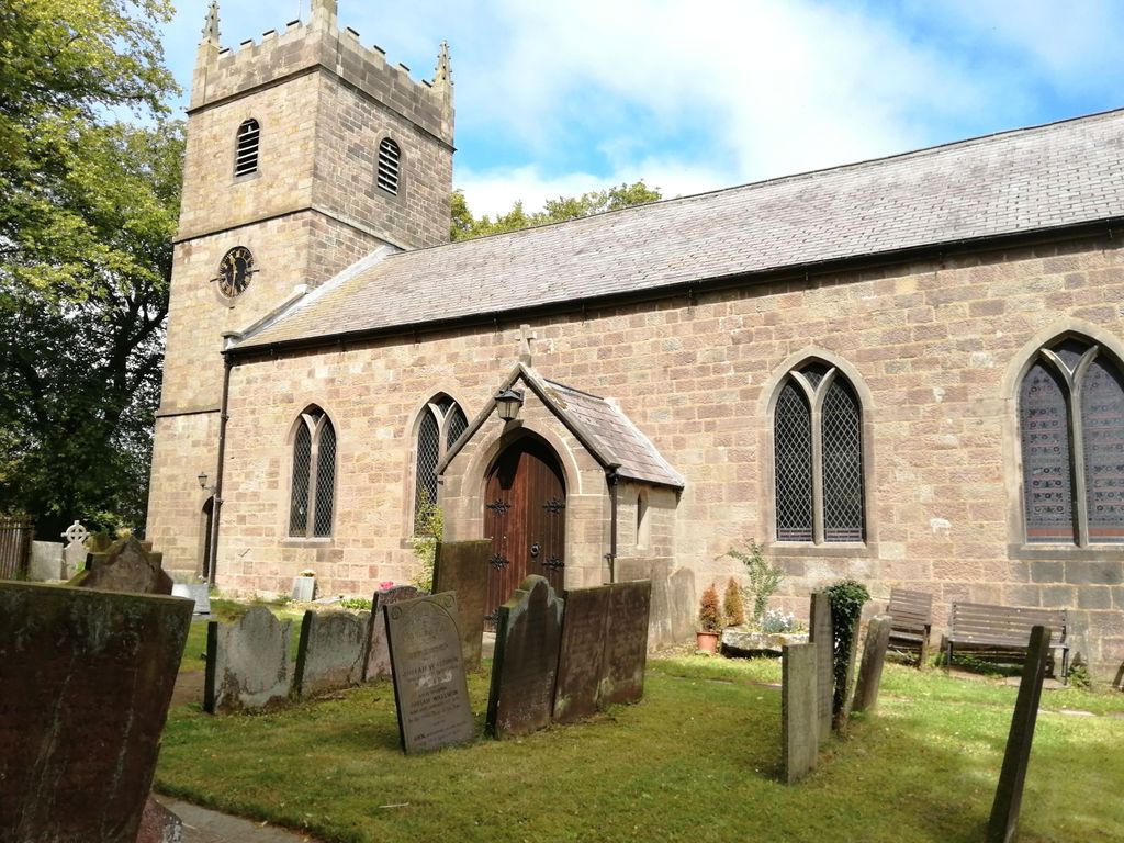
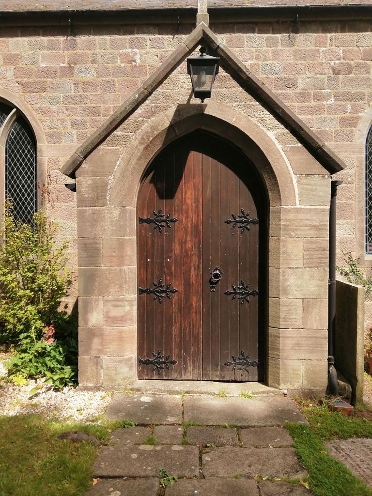
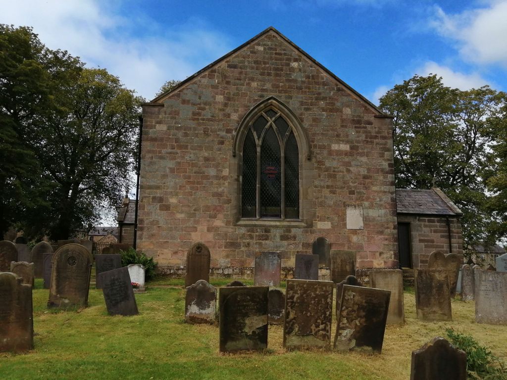
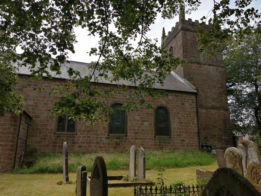
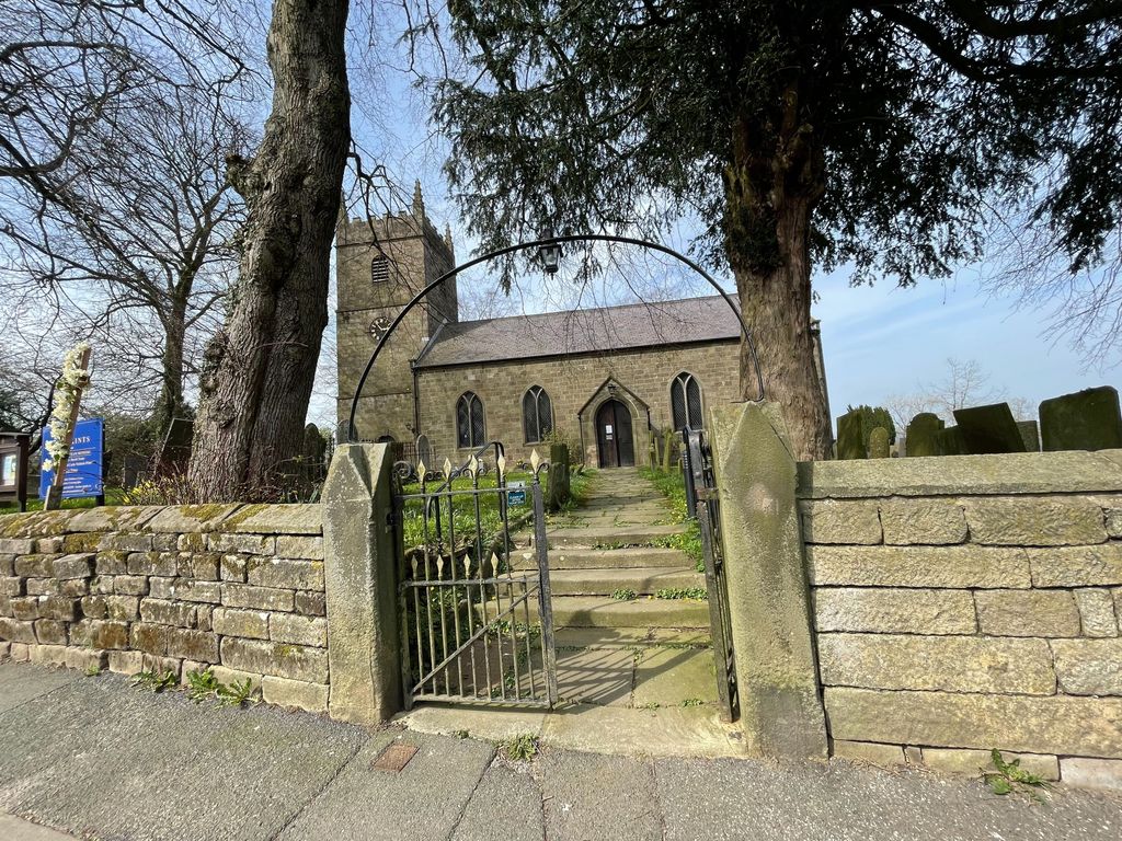
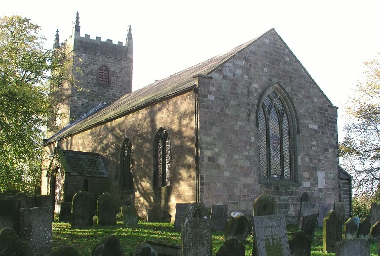
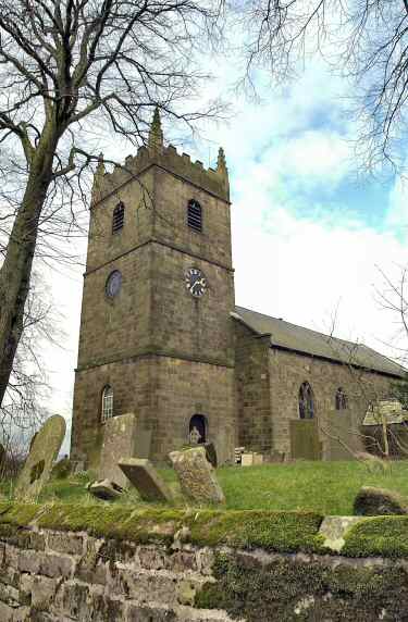
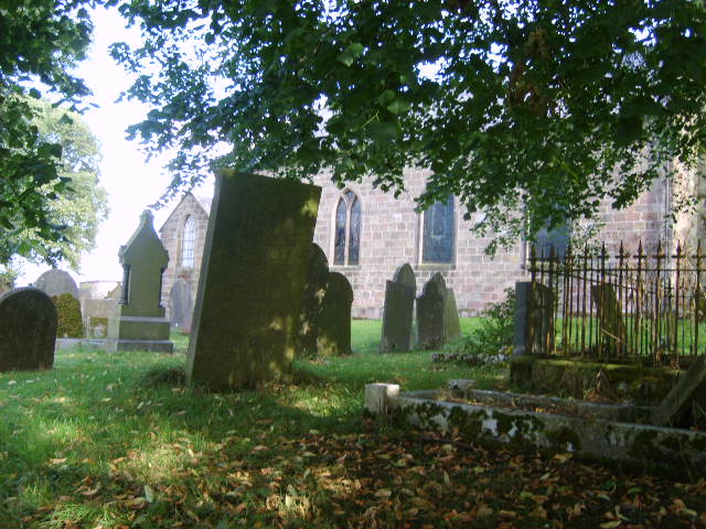
| Description | : | Elton was one of the five Chapels of Youlgrave or Youlgreave during the reigh of Henry II (1154-1189).This relationship continued until 1725 when the freeholders and lords of Elton manor took over. A new parish was formed in 1866. The mediaeval church was dedicated to Saint Margaret. There was a nave, side aisles, chancel and a tower with a low spire. By the end of the 18th century, the church was in a bad state of repair. The walls had been propped for years from subsidence brought on by extensive mine workings. After the spire collapsed in 1805 the decision... Read More |
frequently asked questions (FAQ):
-
Where is All Saints Churchyard?
All Saints Churchyard is located at Elton, Derbyshire Dales District ,Derbyshire ,England.
-
All Saints Churchyard cemetery's updated grave count on graveviews.com?
0 memorials
-
Where are the coordinates of the All Saints Churchyard?
Latitude: 53.1455078
Longitude: -1.6700720
Nearby Cemetories:
1. St. John the Baptist Churchyard
Winster, Derbyshire Dales District, England
Coordinate: 53.1418016, -1.6434807
2. All Saints Churchyard
Youlgreave, Derbyshire Dales District, England
Coordinate: 53.1760130, -1.6841700
3. Harthill Chapel
Harthill, Derbyshire Dales District, England
Coordinate: 53.1784740, -1.6588870
4. Holy Trinity Churchyard
Stanton in Peak, Derbyshire Dales District, England
Coordinate: 53.1750700, -1.6403760
5. St. Mary the Virgin Churchyard
South Darley, Derbyshire Dales District, England
Coordinate: 53.1498000, -1.6015000
6. St. Helen's Churchyard
Darley Dale, Derbyshire Dales District, England
Coordinate: 53.1634910, -1.6020670
7. Darley Dale Cemetery
Darley Dale, Derbyshire Dales District, England
Coordinate: 53.1635670, -1.5926300
8. St Anne Churchyard
Over Haddon, Derbyshire Dales District, England
Coordinate: 53.1940230, -1.6968800
9. St. James the Apostle Churchyard
Bonsall, Derbyshire Dales District, England
Coordinate: 53.1196200, -1.5832110
10. St. James' Churchyard
Brassington, Derbyshire Dales District, England
Coordinate: 53.0858300, -1.6565000
11. St. Thomas Churchyard
Biggin-by-Hartington, Derbyshire Dales District, England
Coordinate: 53.1311080, -1.7703070
12. Middleton by Wirksworth Cemetery
Middleton by Wirksworth, Derbyshire Dales District, England
Coordinate: 53.1033860, -1.5919920
13. Bakewell Cemetery
Bakewell, Derbyshire Dales District, England
Coordinate: 53.2083710, -1.6773120
14. Bakewell Quaker Burial Ground
Bakewell, Derbyshire Dales District, England
Coordinate: 53.2108382, -1.6754294
15. All Saints Churchyard
Bakewell, Derbyshire Dales District, England
Coordinate: 53.2129170, -1.6784670
16. Holy Trinity Churchyard
Middleton by Wirksworth, Derbyshire Dales District, England
Coordinate: 53.0979228, -1.5860175
17. St. Giles' Churchyard
Matlock, Derbyshire Dales District, England
Coordinate: 53.1343560, -1.5533960
18. Holy Trinity Churchyard
Matlock Bath, Derbyshire Dales District, England
Coordinate: 53.1172020, -1.5612230
19. St Anne Churchyard
Beeley, Derbyshire Dales District, England
Coordinate: 53.2052320, -1.6048640
20. St. Mark's Churchyard
Cromford, Derbyshire Dales District, England
Coordinate: 53.1076550, -1.5647150
21. All Saints Churchyard
Bradbourne, Derbyshire Dales District, England
Coordinate: 53.0716940, -1.6909330
22. Steeple Arch Cemetery
Wirksworth, Derbyshire Dales District, England
Coordinate: 53.0969820, -1.5688340
23. St. Mary's Churchyard
Cromford, Derbyshire Dales District, England
Coordinate: 53.1104260, -1.5538440
24. St. Leonard's Churchyard
Monyash, Derbyshire Dales District, England
Coordinate: 53.1951190, -1.7748480