
| Memorials | : | 0 |
| Location | : | Youlgreave, Derbyshire Dales District, England |
| Coordinate | : | 53.1760130, -1.6841700 |
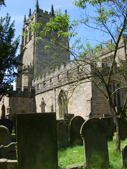
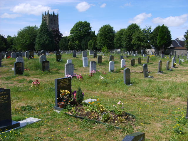
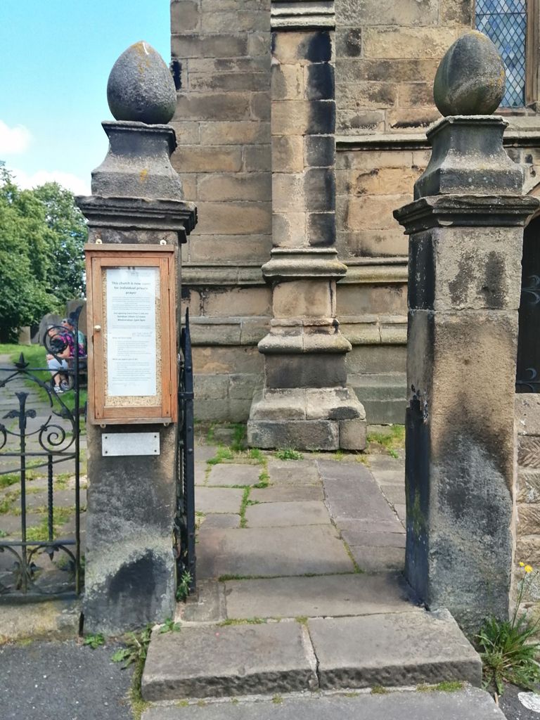
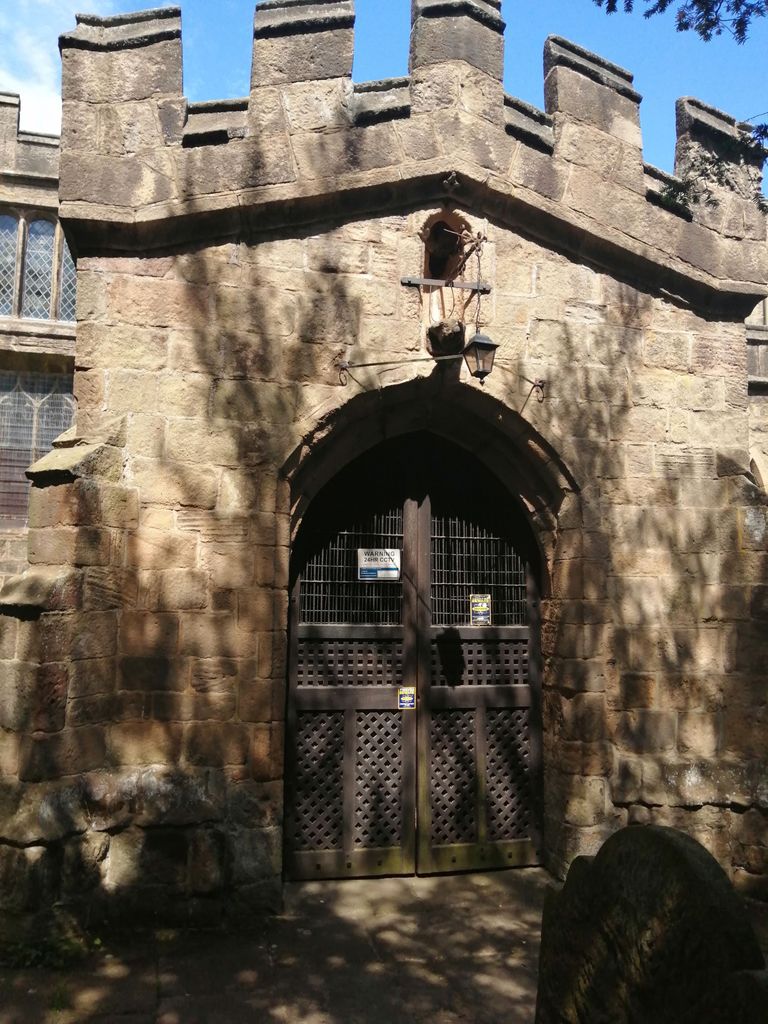
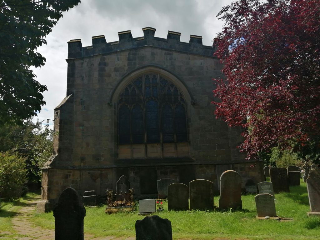
| Description | : | The church of All Saints is an impressive Norman church built between 1130 and 1150. The medieval tower was added during the 1400s. Originally the church served seven villages which in addition to Youlgrave or Youlgreave included: Winster, Elton, Birchover, Stanton, Middleton by Youlgrave and Gratton. It's medieval origins were added to in the 14th, 15th, 17th and 19th centuries. One of the largest churches in the Peak District it has a variety of architectural styles. "YOULGREAVE, a parish partly in the hundred of Wirksworth, and partly in that of High Peak, county Derby, 3½ miles S.W. of Bakewell, and 3... Read More |
frequently asked questions (FAQ):
-
Where is All Saints Churchyard?
All Saints Churchyard is located at Youlgreave, Derbyshire Dales District ,Derbyshire ,England.
-
All Saints Churchyard cemetery's updated grave count on graveviews.com?
0 memorials
-
Where are the coordinates of the All Saints Churchyard?
Latitude: 53.1760130
Longitude: -1.6841700


Nearby Cemetories:
1. Harthill Chapel
Harthill, Derbyshire Dales District, England
Coordinate: 53.1784740, -1.6588870
2. St Anne Churchyard
Over Haddon, Derbyshire Dales District, England
Coordinate: 53.1940230, -1.6968800
3. Holy Trinity Churchyard
Stanton in Peak, Derbyshire Dales District, England
Coordinate: 53.1750700, -1.6403760
4. All Saints Churchyard
Elton, Derbyshire Dales District, England
Coordinate: 53.1455078, -1.6700720
5. Bakewell Cemetery
Bakewell, Derbyshire Dales District, England
Coordinate: 53.2083710, -1.6773120
6. Bakewell Quaker Burial Ground
Bakewell, Derbyshire Dales District, England
Coordinate: 53.2108382, -1.6754294
7. All Saints Churchyard
Bakewell, Derbyshire Dales District, England
Coordinate: 53.2129170, -1.6784670
8. St. John the Baptist Churchyard
Winster, Derbyshire Dales District, England
Coordinate: 53.1418016, -1.6434807
9. Holy Trinity Churchyard
Ashford-in-the-Water, Derbyshire Dales District, England
Coordinate: 53.2241640, -1.7093610
10. St. Helen's Churchyard
Darley Dale, Derbyshire Dales District, England
Coordinate: 53.1634910, -1.6020670
11. St. Michael & All Angels Churchyard
Sheldon, Derbyshire Dales District, England
Coordinate: 53.2165050, -1.7387150
12. St Anne Churchyard
Beeley, Derbyshire Dales District, England
Coordinate: 53.2052320, -1.6048640
13. St. Mary the Virgin Churchyard
South Darley, Derbyshire Dales District, England
Coordinate: 53.1498000, -1.6015000
14. Darley Dale Cemetery
Darley Dale, Derbyshire Dales District, England
Coordinate: 53.1635670, -1.5926300
15. St. Leonard's Churchyard
Monyash, Derbyshire Dales District, England
Coordinate: 53.1951190, -1.7748480
16. Monyash Quaker Burial Ground
Monyash, Derbyshire Dales District, England
Coordinate: 53.1960872, -1.7773422
17. St. Peter's Churchyard
Edensor, Derbyshire Dales District, England
Coordinate: 53.2255530, -1.6260190
18. Saint Giles Churchyard
Great Longstone, Derbyshire Dales District, England
Coordinate: 53.2432100, -1.7009100
19. St. Thomas Churchyard
Biggin-by-Hartington, Derbyshire Dales District, England
Coordinate: 53.1311080, -1.7703070
20. Little Longstone Chapel
Little Longstone, Derbyshire Dales District, England
Coordinate: 53.2413241, -1.7203296
21. St. Anne Churchyard
Baslow, Derbyshire Dales District, England
Coordinate: 53.2473740, -1.6241110
22. St Giles Churchyard
Hartington, Derbyshire Dales District, England
Coordinate: 53.1413120, -1.8075970
23. St. James the Apostle Churchyard
Bonsall, Derbyshire Dales District, England
Coordinate: 53.1196200, -1.5832110
24. St Michael and All Angels Churchyard
Taddington, Derbyshire Dales District, England
Coordinate: 53.2372500, -1.7897380