
| Memorials | : | 0 |
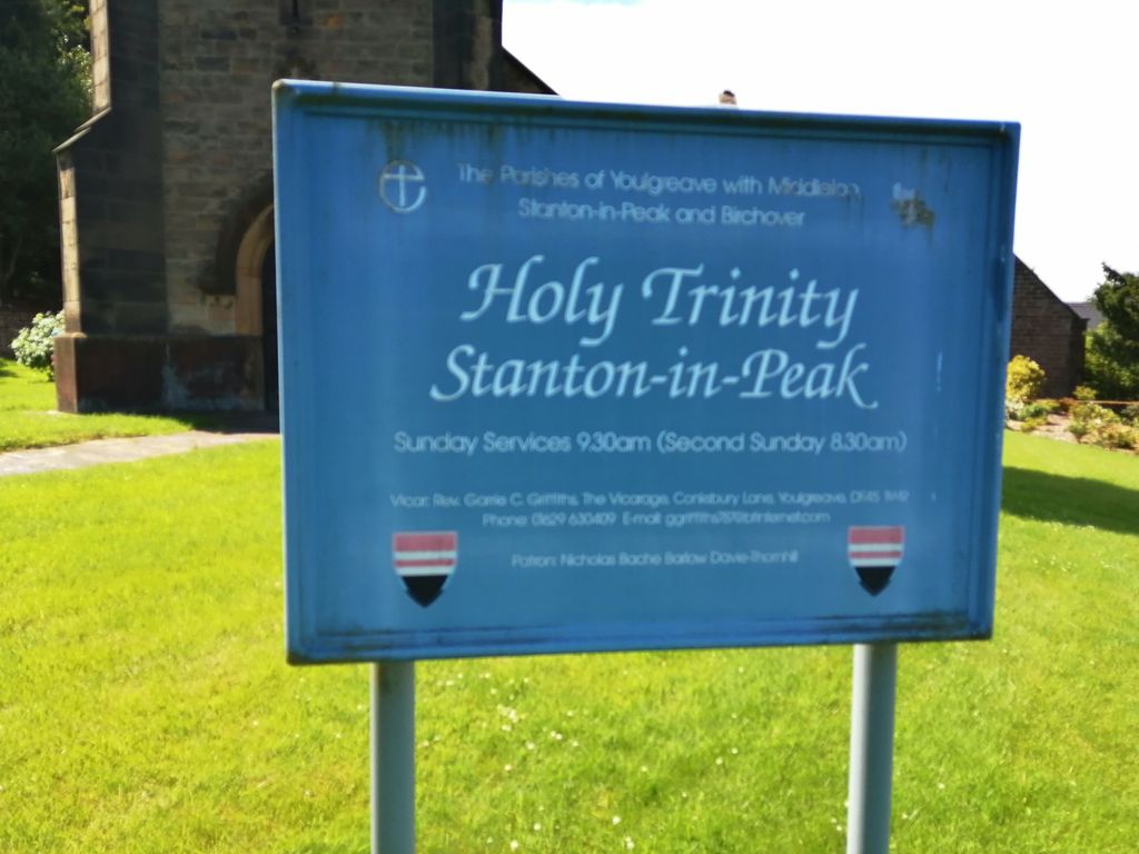
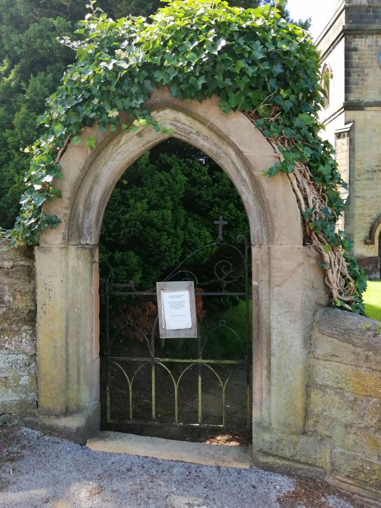
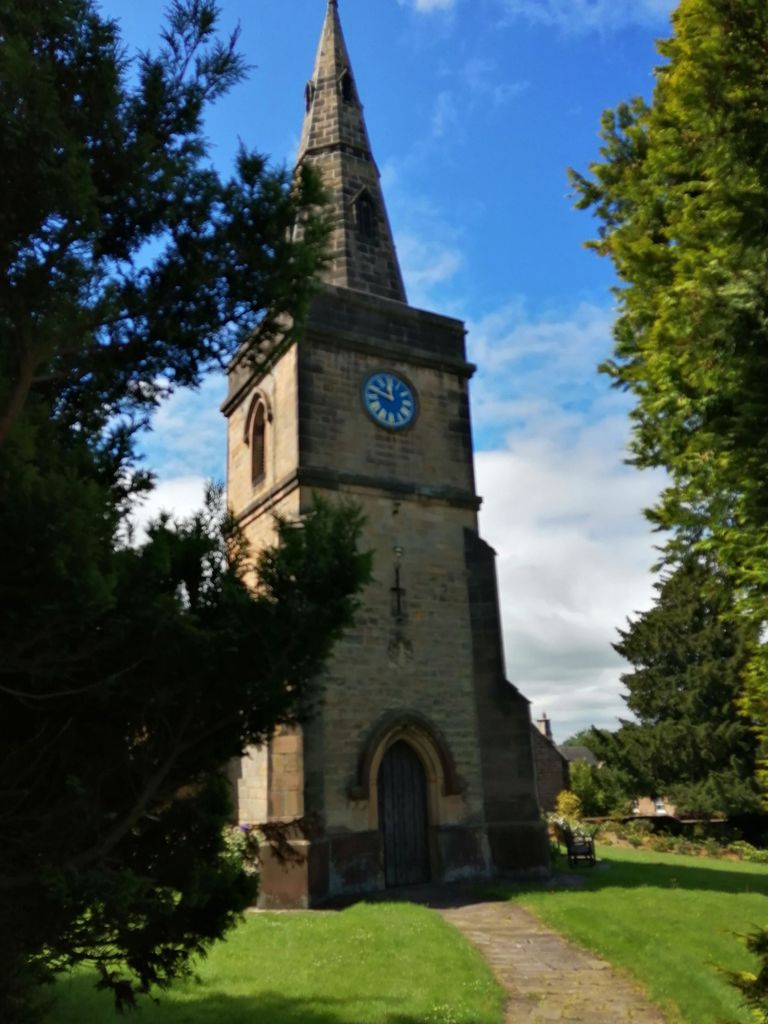
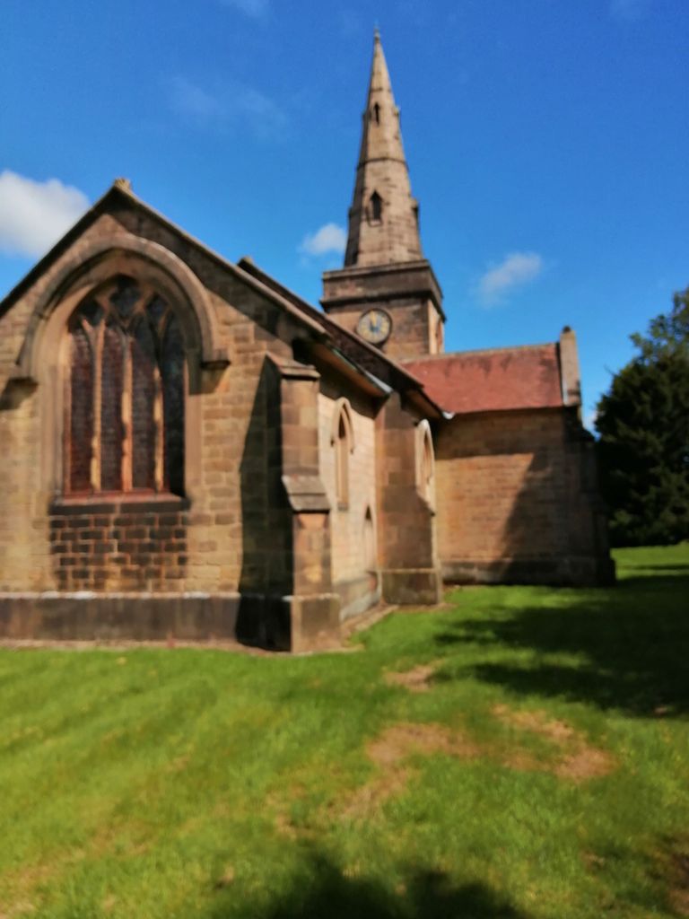
| Location | : | Stanton in Peak, Derbyshire Dales District, England |
| Coordinate | : | 53.1750700, -1.6403760 |
frequently asked questions (FAQ):
-
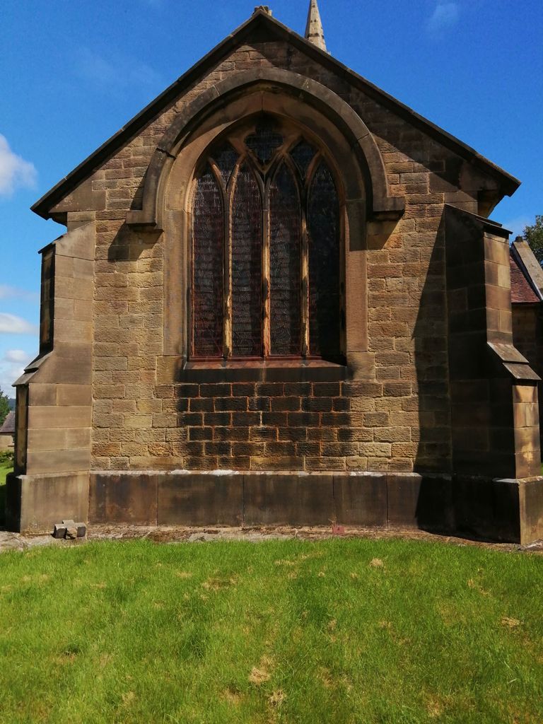
Where is Holy Trinity Churchyard?
Holy Trinity Churchyard is located at Stanton in Peak, Derbyshire Dales District ,Derbyshire ,England.
-
Holy Trinity Churchyard cemetery's updated grave count on graveviews.com?
0 memorials
-
Where are the coordinates of the Holy Trinity Churchyard?
Latitude: 53.1750700
Longitude: -1.6403760
Nearby Cemetories:
1. Harthill Chapel
Harthill, Derbyshire Dales District, England
Coordinate: 53.1784740, -1.6588870
2. St. Helen's Churchyard
Darley Dale, Derbyshire Dales District, England
Coordinate: 53.1634910, -1.6020670
3. All Saints Churchyard
Youlgreave, Derbyshire Dales District, England
Coordinate: 53.1760130, -1.6841700
4. Darley Dale Cemetery
Darley Dale, Derbyshire Dales District, England
Coordinate: 53.1635670, -1.5926300
5. St. John the Baptist Churchyard
Winster, Derbyshire Dales District, England
Coordinate: 53.1418016, -1.6434807
6. St. Mary the Virgin Churchyard
South Darley, Derbyshire Dales District, England
Coordinate: 53.1498000, -1.6015000
7. All Saints Churchyard
Elton, Derbyshire Dales District, England
Coordinate: 53.1455078, -1.6700720
8. St Anne Churchyard
Beeley, Derbyshire Dales District, England
Coordinate: 53.2052320, -1.6048640
9. St Anne Churchyard
Over Haddon, Derbyshire Dales District, England
Coordinate: 53.1940230, -1.6968800
10. Bakewell Cemetery
Bakewell, Derbyshire Dales District, England
Coordinate: 53.2083710, -1.6773120
11. Bakewell Quaker Burial Ground
Bakewell, Derbyshire Dales District, England
Coordinate: 53.2108382, -1.6754294
12. All Saints Churchyard
Bakewell, Derbyshire Dales District, England
Coordinate: 53.2129170, -1.6784670
13. St. Peter's Churchyard
Edensor, Derbyshire Dales District, England
Coordinate: 53.2255530, -1.6260190
14. Holy Trinity Churchyard
Ashford-in-the-Water, Derbyshire Dales District, England
Coordinate: 53.2241640, -1.7093610
15. St. James the Apostle Churchyard
Bonsall, Derbyshire Dales District, England
Coordinate: 53.1196200, -1.5832110
16. St. Giles' Churchyard
Matlock, Derbyshire Dales District, England
Coordinate: 53.1343560, -1.5533960
17. St. Michael & All Angels Churchyard
Sheldon, Derbyshire Dales District, England
Coordinate: 53.2165050, -1.7387150
18. St. Anne Churchyard
Baslow, Derbyshire Dales District, England
Coordinate: 53.2473740, -1.6241110
19. Holy Trinity Churchyard
Matlock Bath, Derbyshire Dales District, England
Coordinate: 53.1172020, -1.5612230
20. Saint Giles Churchyard
Great Longstone, Derbyshire Dales District, England
Coordinate: 53.2432100, -1.7009100
21. Middleton by Wirksworth Cemetery
Middleton by Wirksworth, Derbyshire Dales District, England
Coordinate: 53.1033860, -1.5919920
22. St. Mark's Churchyard
Cromford, Derbyshire Dales District, England
Coordinate: 53.1076550, -1.5647150
23. Little Longstone Chapel
Little Longstone, Derbyshire Dales District, England
Coordinate: 53.2413241, -1.7203296
24. Holy Trinity Churchyard
Tansley, Derbyshire Dales District, England
Coordinate: 53.1353920, -1.5194670