
| Memorials | : | 0 |
| Location | : | Tidenham Chase, Forest of Dean District, England |
| Website | : | www.tidenhamparishchurch.co.uk/ |
| Coordinate | : | 51.6601690, -2.6434850 |
frequently asked questions (FAQ):
-
Where is St. Mary and St. Peter Churchyard?
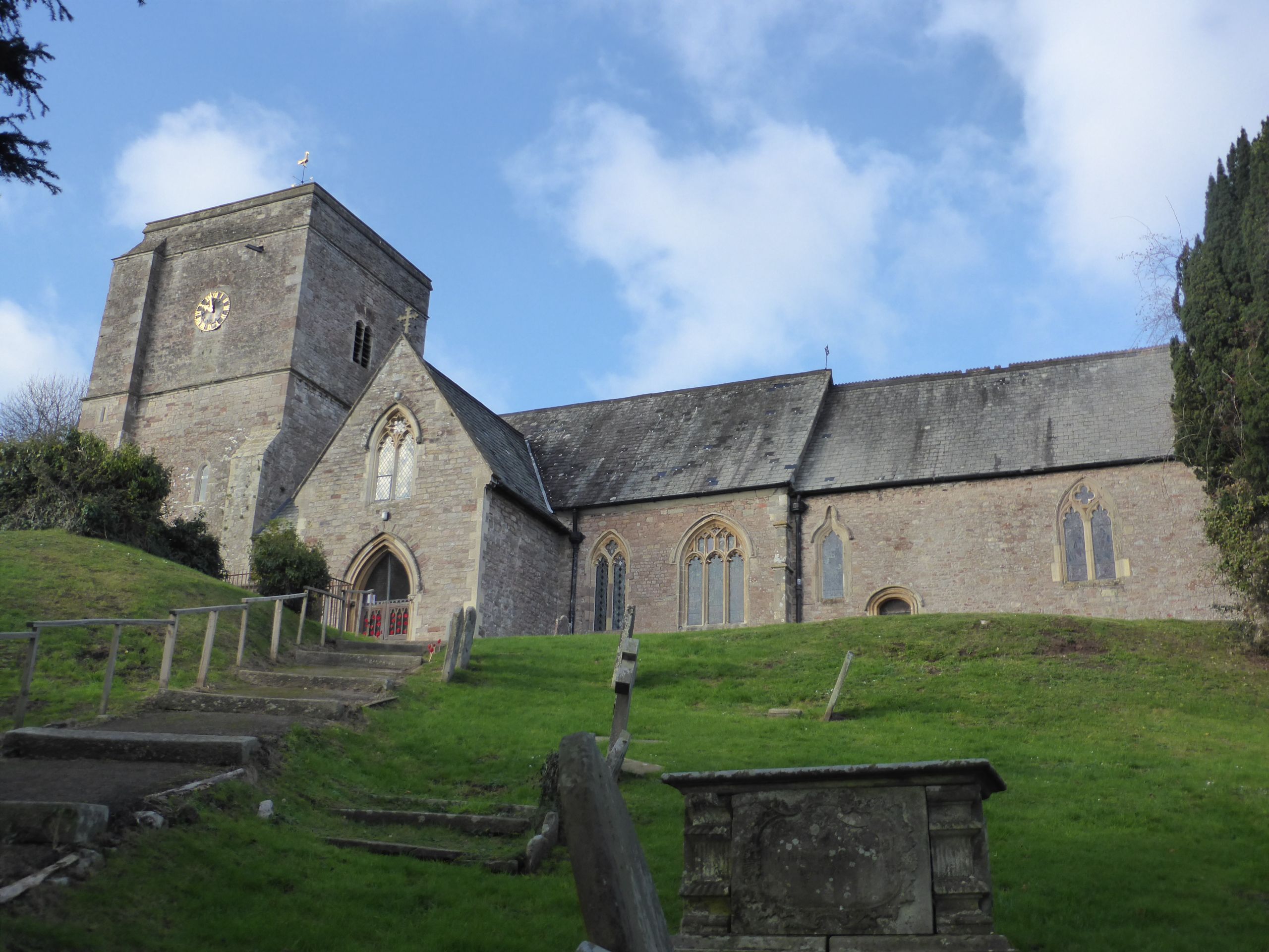
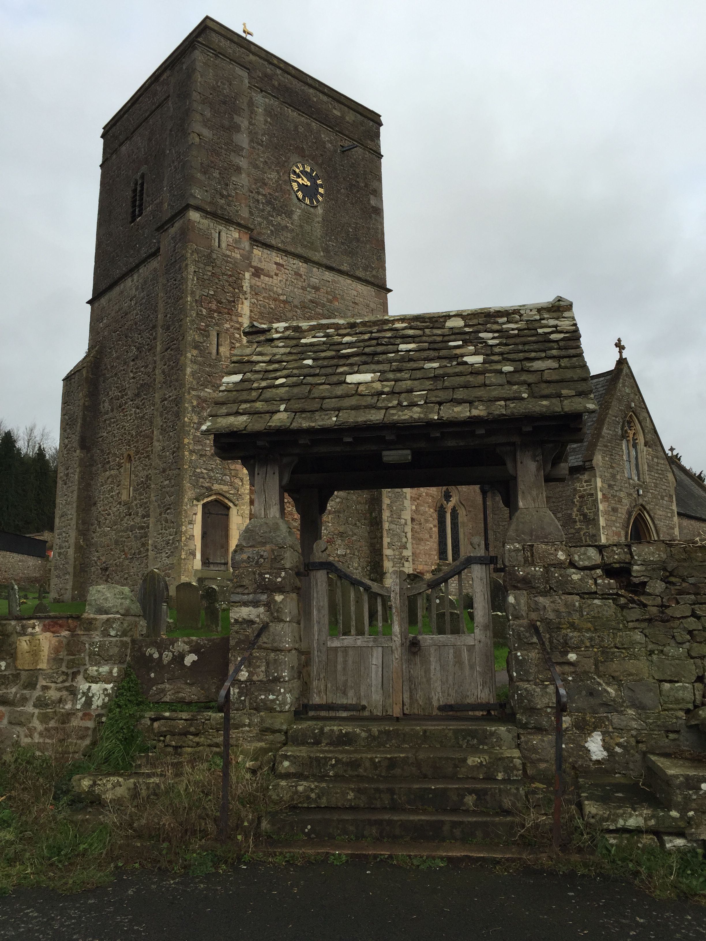
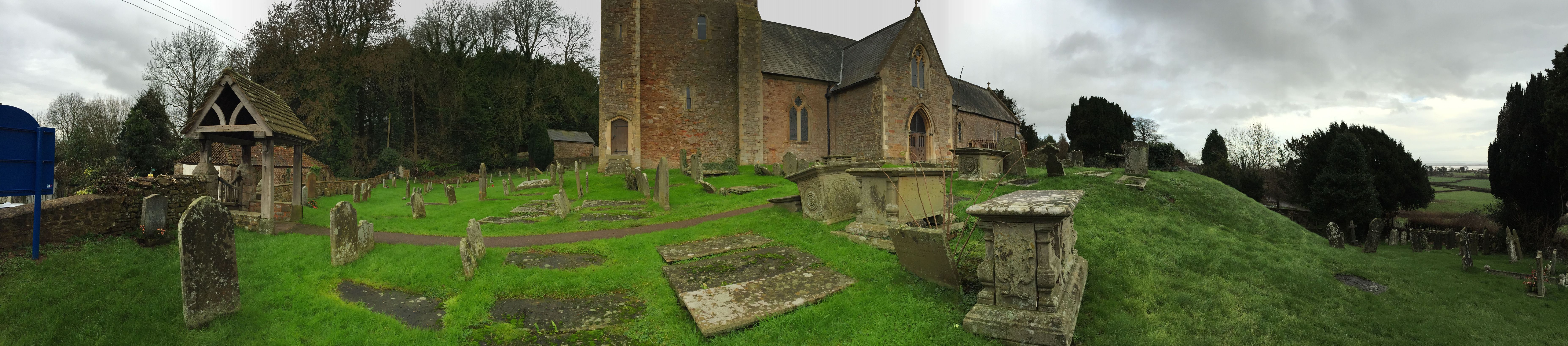
St. Mary and St. Peter Churchyard is located at Tidenham Tidenham Chase, Forest of Dean District ,Gloucestershire , NP16 7JQEngland.
-
St. Mary and St. Peter Churchyard cemetery's updated grave count on graveviews.com?
0 memorials
-
Where are the coordinates of the St. Mary and St. Peter Churchyard?
Latitude: 51.6601690
Longitude: -2.6434850
Nearby Cemetories:
1. St. Luke's Churchyard
Tutshill, Forest of Dean District, England
Coordinate: 51.6544740, -2.6660020
2. St Michael & All Angels Churchyard
Tidenham Chase, Forest of Dean District, England
Coordinate: 51.6862323, -2.6432188
3. St. Andrew's Churchyard
Woolaston, Forest of Dean District, England
Coordinate: 51.6912000, -2.5982900
4. St. John the Evangelist Churchyard
Beachley, Forest of Dean District, England
Coordinate: 51.6184750, -2.6505640
5. Beachley Barracks Military Cemetery
Beachley, Forest of Dean District, England
Coordinate: 51.6185000, -2.6512000
6. St. Andrew's Churchyard
Alvington, Forest of Dean District, England
Coordinate: 51.7033900, -2.5754460
7. St. John's Churchyard
Aust, South Gloucestershire Unitary Authority, England
Coordinate: 51.5991080, -2.6186160
8. St. Mary the Virgin Churchyard
St Briavels, Forest of Dean District, England
Coordinate: 51.7388290, -2.6405550
9. St Mary the Virgin Parish Churchyard
Thornbury, South Gloucestershire Unitary Authority, England
Coordinate: 51.6132330, -2.5300090
10. Thornbury Cemetery
Thornbury, South Gloucestershire Unitary Authority, England
Coordinate: 51.6099460, -2.5323000
11. St. Mary the Virgin Churchyard
Olveston, South Gloucestershire Unitary Authority, England
Coordinate: 51.5828740, -2.5774290
12. Lydney Cemetery
Lydney, Forest of Dean District, England
Coordinate: 51.7189747, -2.5338209
13. St. Mary the Virgin Churchyard
Lydney, Forest of Dean District, England
Coordinate: 51.7202430, -2.5326060
14. St Oswald Churchyard
Rockhampton, South Gloucestershire Unitary Authority, England
Coordinate: 51.6374200, -2.5003500
15. St. James' Churchyard
Bream, Forest of Dean District, England
Coordinate: 51.7468630, -2.5795910
16. St Helen Churchyard
Alveston, South Gloucestershire Unitary Authority, England
Coordinate: 51.5850600, -2.5303380
17. Almondsbury Cemetery
Bristol Unitary Authority, England
Coordinate: 51.5589695, -2.5768189
18. Clearwell Cemetery Chapel
Clearwell, Forest of Dean District, England
Coordinate: 51.7685400, -2.6167800
19. Almondsbury Cemetery
Almondsbury, South Gloucestershire Unitary Authority, England
Coordinate: 51.5588230, -2.5760360
20. St Mary's Churchyard
Almondsbury, South Gloucestershire Unitary Authority, England
Coordinate: 51.5542300, -2.5733390
21. All Saints Churchyard
Stone, Stroud District, England
Coordinate: 51.6566800, -2.4575600
22. Mount Pleasant Chapel
Wotton-under-Edge, Stroud District, England
Coordinate: 51.6331000, -2.4610000
23. Berkeley Cemetery
Berkeley, Stroud District, England
Coordinate: 51.6946845, -2.4601617
24. St. Mary the Virgin Churchyard
Berkeley, Stroud District, England
Coordinate: 51.6890940, -2.4576150