
| Memorials | : | 70 |
| Location | : | Stone, Stroud District, England |
| Coordinate | : | 51.6566800, -2.4575600 |
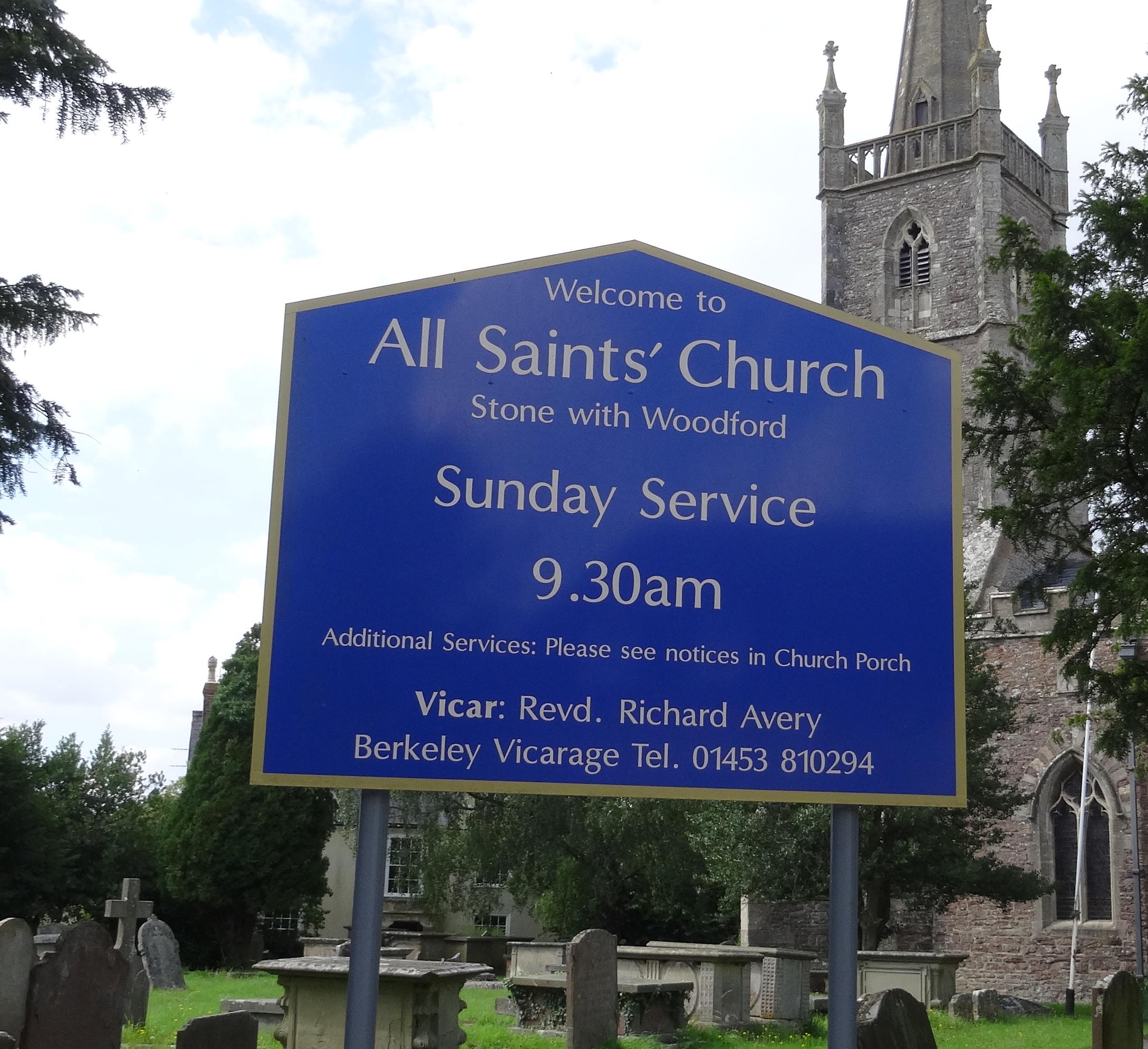
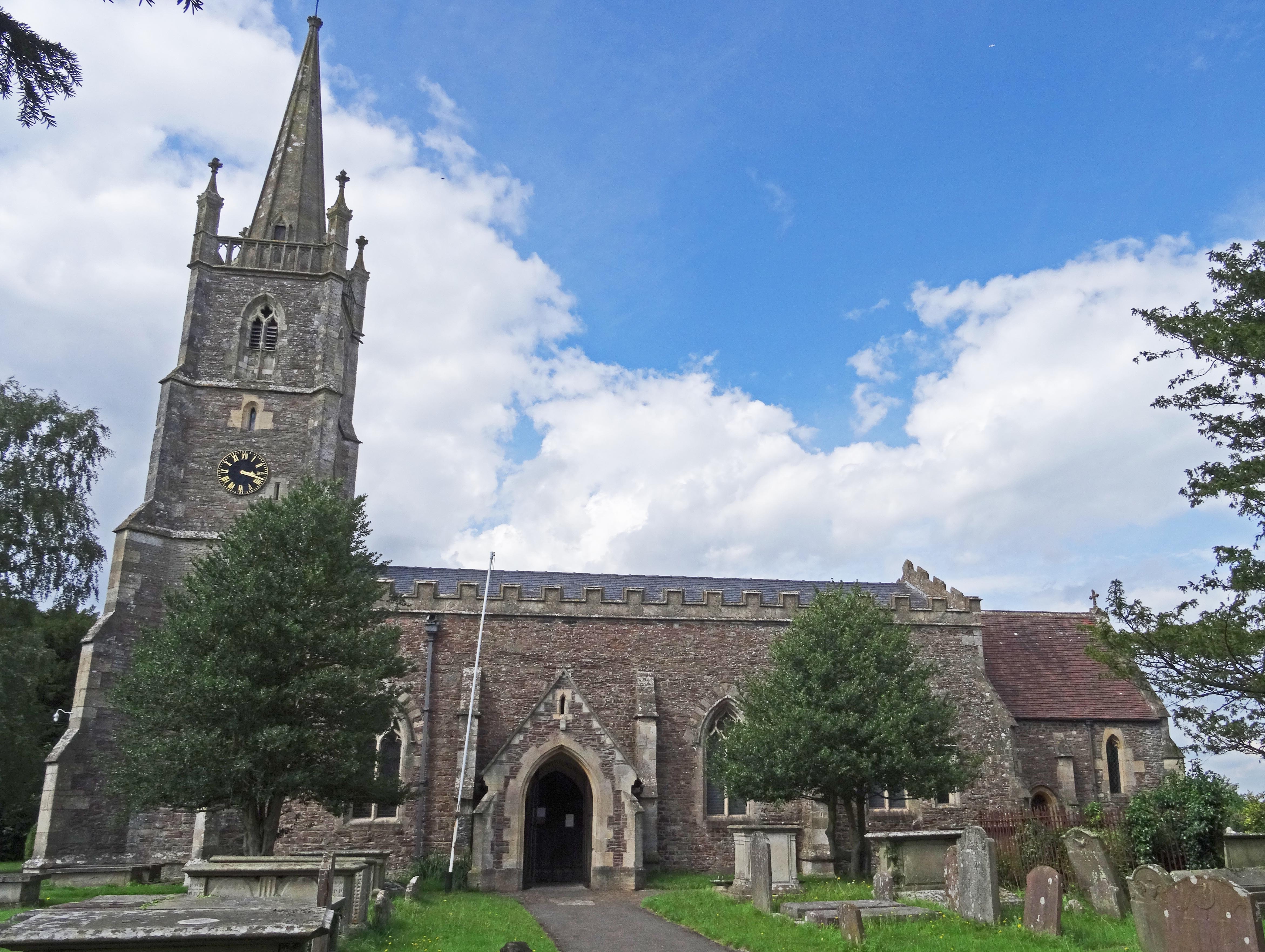
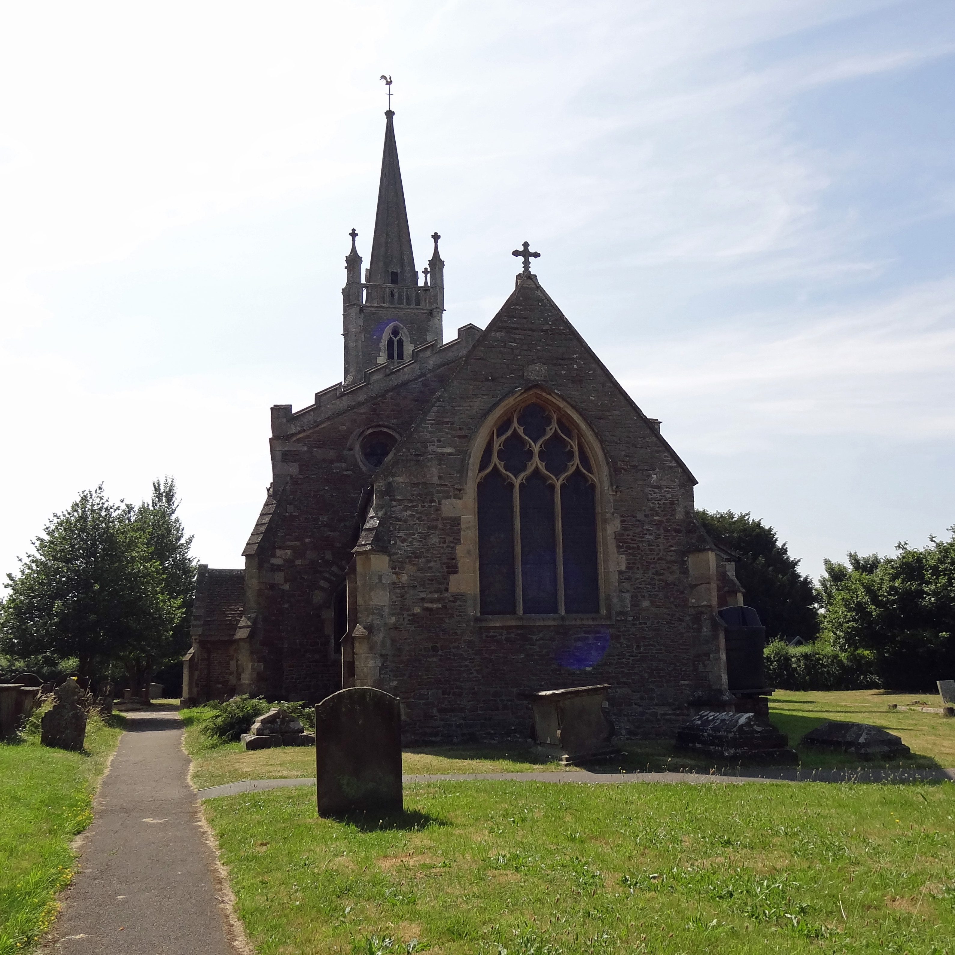
| Description | : | There are 5 wargraves here. The Parish Church of All Saints in Stone in Gloucestershire was originally built as a Chapel of Ease to the Church of Saint Mary at Berkeley, 3 miles to the north. It came under the care of the de Stone family, whose ancestor, Guido, gained favour with the Lords of Berkeley after 1153. As the family prospered, they enlarged and enhanced the Chapel. In the 13th Century a nave was added, 85 ft long and 23 ft wide, in Decorated Gothic style, with a deep thatched roof. In 1388 the four Churchwardens for Stone took... Read More |
frequently asked questions (FAQ):
-
Where is All Saints Churchyard?
All Saints Churchyard is located at Stone Green (A38) Stone, Stroud District ,Gloucestershire , GL13 9LBEngland.
-
All Saints Churchyard cemetery's updated grave count on graveviews.com?
70 memorials
-
Where are the coordinates of the All Saints Churchyard?
Latitude: 51.6566800
Longitude: -2.4575600
Nearby Cemetories:
1. Mount Pleasant Chapel
Wotton-under-Edge, Stroud District, England
Coordinate: 51.6331000, -2.4610000
2. St Leonard Churchyard
Tortworth, Stroud District, England
Coordinate: 51.6379440, -2.4286650
3. St. Mary the Virgin Churchyard
Berkeley, Stroud District, England
Coordinate: 51.6890940, -2.4576150
4. St Oswald Churchyard
Rockhampton, South Gloucestershire Unitary Authority, England
Coordinate: 51.6374200, -2.5003500
5. Berkeley Cemetery
Berkeley, Stroud District, England
Coordinate: 51.6946845, -2.4601617
6. St Andrew Churchyard
Cromhall, South Gloucestershire Unitary Authority, England
Coordinate: 51.6121930, -2.4456930
7. St Martin Churchyard
North Nibley, Stroud District, England
Coordinate: 51.6629860, -2.3836650
8. North Nibley Cemetery
North Nibley, Stroud District, England
Coordinate: 51.6584100, -2.3768600
9. St. Cyr's Churchyard
Stinchcombe, Stroud District, England
Coordinate: 51.6881090, -2.3927490
10. St Mary the Virgin Parish Churchyard
Thornbury, South Gloucestershire Unitary Authority, England
Coordinate: 51.6132330, -2.5300090
11. The Quarry United Reformed Church
Cam, Stroud District, England
Coordinate: 51.6968858, -2.3789270
12. Kingswood Abbey
Kingswood, Stroud District, England
Coordinate: 51.6264381, -2.3667738
13. St James Parish Churchyard
Tytherington, South Gloucestershire Unitary Authority, England
Coordinate: 51.5932110, -2.4799250
14. Thornbury Cemetery
Thornbury, South Gloucestershire Unitary Authority, England
Coordinate: 51.6099460, -2.5323000
15. Dursley Tabernacle URC
Dursley, Stroud District, England
Coordinate: 51.6823727, -2.3571669
16. Dursley Town Cemetery
Dursley, Stroud District, England
Coordinate: 51.6893700, -2.3623400
17. Wotton Baptist Churchyard
Wotton-under-Edge, Stroud District, England
Coordinate: 51.6371850, -2.3531940
18. Holy Trinity Churchyard
Wickwar, South Gloucestershire Unitary Authority, England
Coordinate: 51.5985120, -2.4006930
19. St James the Great Church
Dursley, Stroud District, England
Coordinate: 51.6812840, -2.3530000
20. St Marks Churchyard
Dursley, Stroud District, England
Coordinate: 51.6777900, -2.3499800
21. St. Mary the Virgin Churchyard
Wotton-under-Edge, Stroud District, England
Coordinate: 51.6390390, -2.3480250
22. St. Bartholomew's Churchyard
Dursley, Stroud District, England
Coordinate: 51.7012900, -2.3653000
23. Cam Congregational Church
Cam, Stroud District, England
Coordinate: 51.6914518, -2.3530424
24. St. George Churchyard
Cam, Stroud District, England
Coordinate: 51.6923120, -2.3524570