
| Memorials | : | 17 |
| Location | : | Rockhampton, South Gloucestershire Unitary Authority, England |
| Coordinate | : | 51.6374200, -2.5003500 |
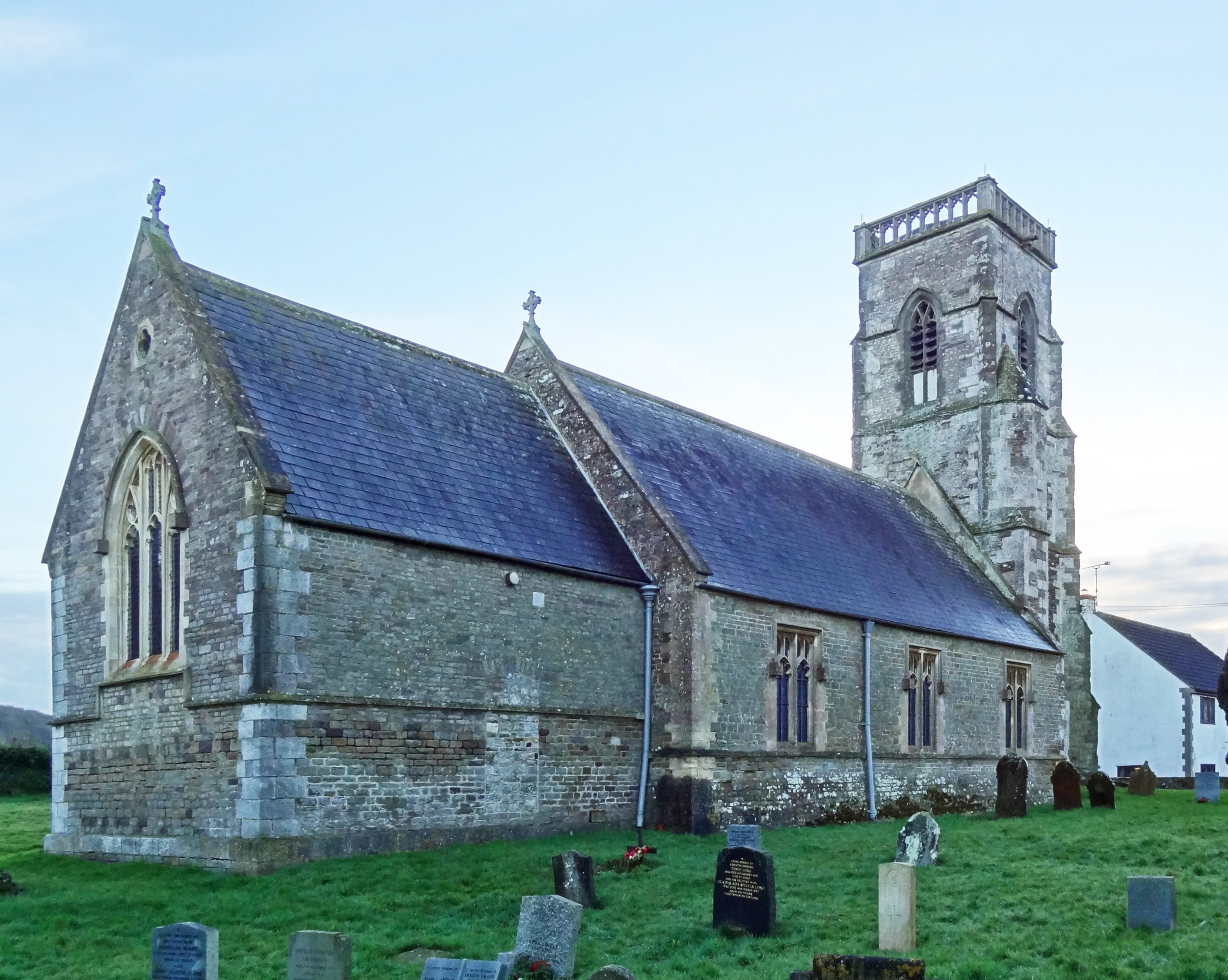
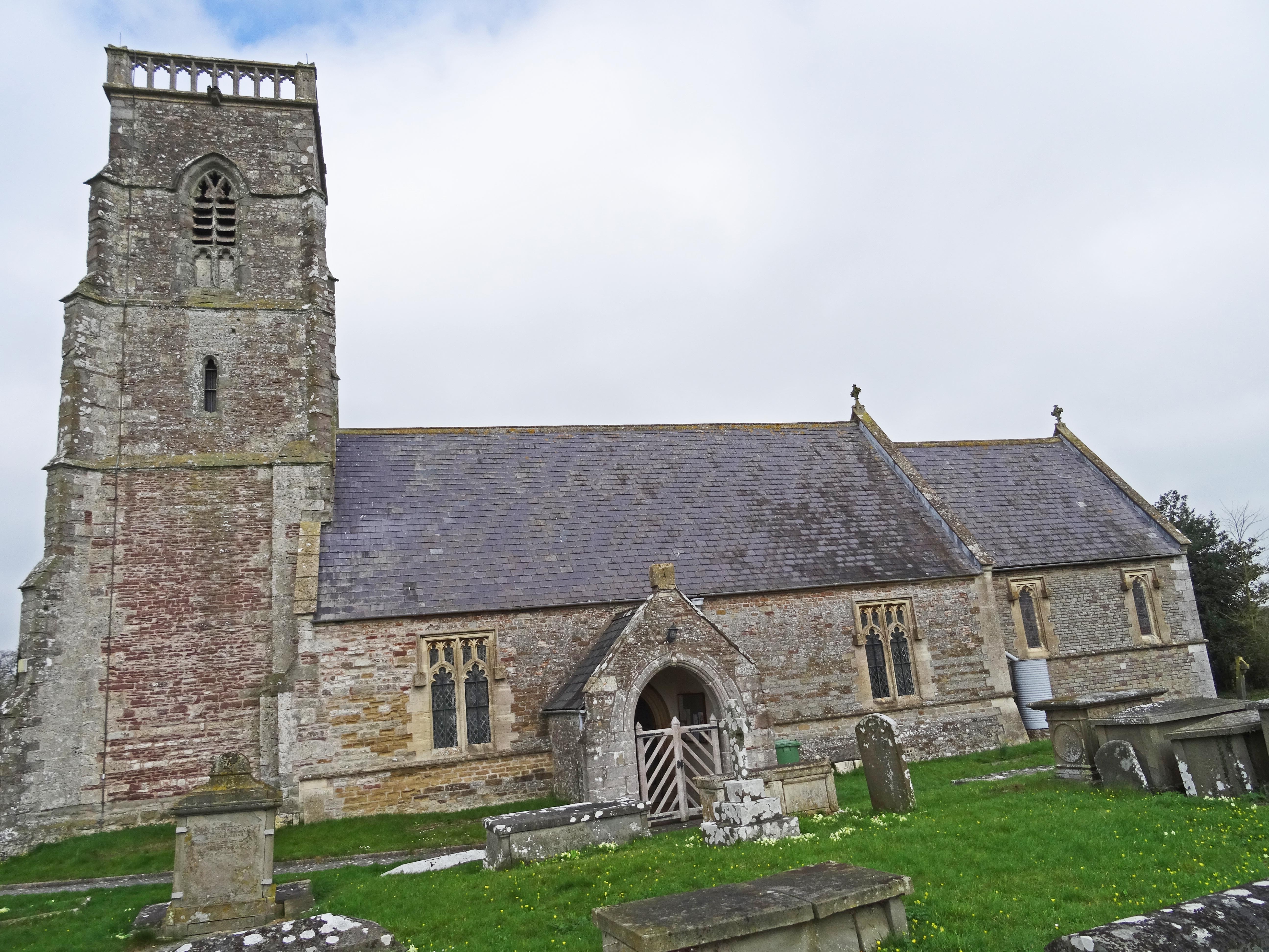
| Description | : | Rockhampton is a village in South Gloucestershire, England, to the north-east of Thornbury. The South end of the village is more properly called Newton, and is in the Thornbury, Bristol, postal area. The Church of St Oswald is a Grade II listed building, dating from the 14th century, |
frequently asked questions (FAQ):
-
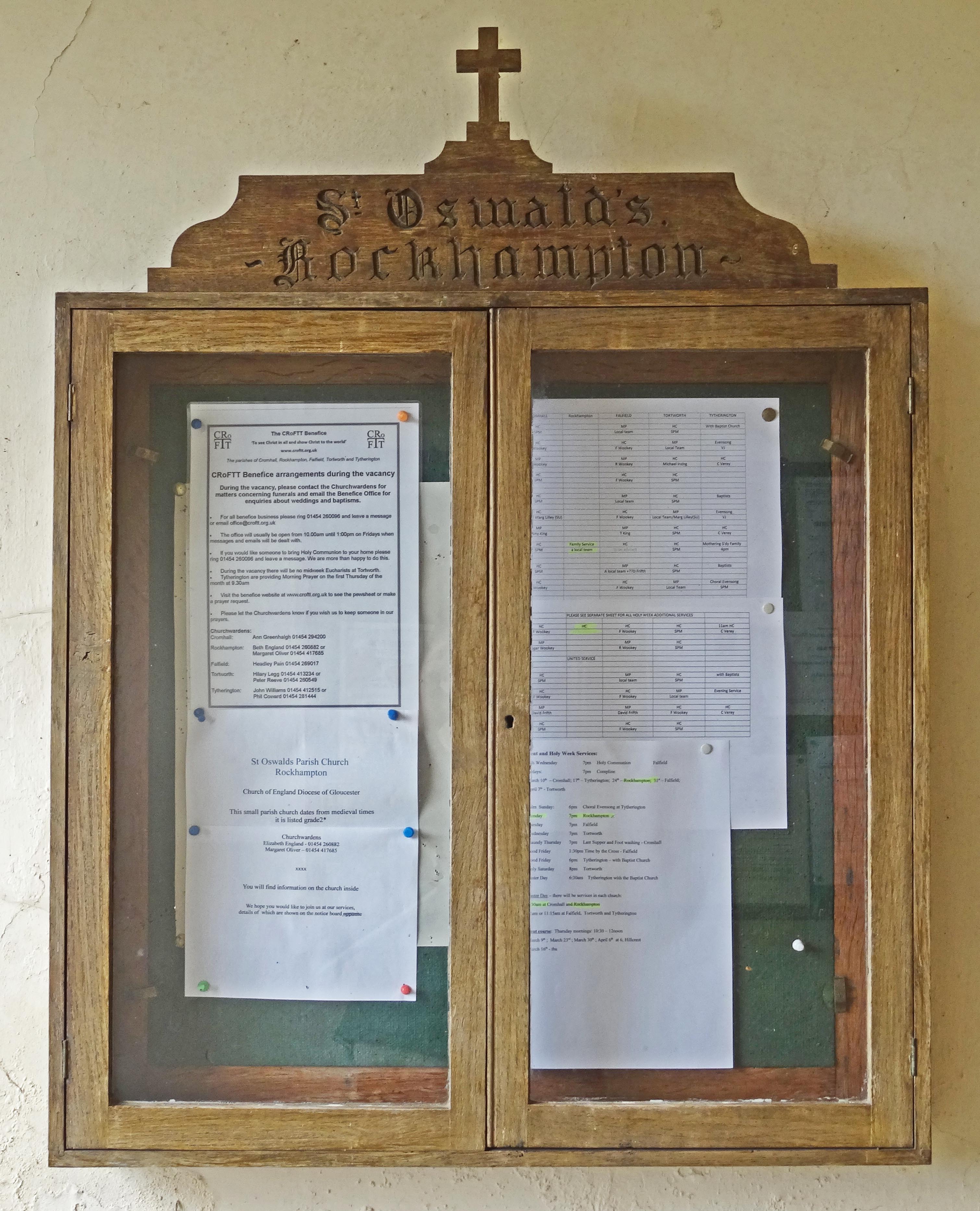
Where is St Oswald Churchyard?
St Oswald Churchyard is located at Church Road Rockhampton, South Gloucestershire Unitary Authority ,Gloucestershire , GL13 9DXEngland.
-
St Oswald Churchyard cemetery's updated grave count on graveviews.com?
17 memorials
-
Where are the coordinates of the St Oswald Churchyard?
Latitude: 51.6374200
Longitude: -2.5003500
Nearby Cemetories:
1. Mount Pleasant Chapel
Wotton-under-Edge, Stroud District, England
Coordinate: 51.6331000, -2.4610000
2. St Mary the Virgin Parish Churchyard
Thornbury, South Gloucestershire Unitary Authority, England
Coordinate: 51.6132330, -2.5300090
3. All Saints Churchyard
Stone, Stroud District, England
Coordinate: 51.6566800, -2.4575600
4. Thornbury Cemetery
Thornbury, South Gloucestershire Unitary Authority, England
Coordinate: 51.6099460, -2.5323000
5. St Andrew Churchyard
Cromhall, South Gloucestershire Unitary Authority, England
Coordinate: 51.6121930, -2.4456930
6. St Leonard Churchyard
Tortworth, Stroud District, England
Coordinate: 51.6379440, -2.4286650
7. St James Parish Churchyard
Tytherington, South Gloucestershire Unitary Authority, England
Coordinate: 51.5932110, -2.4799250
8. St Helen Churchyard
Alveston, South Gloucestershire Unitary Authority, England
Coordinate: 51.5850600, -2.5303380
9. St. Mary the Virgin Churchyard
Berkeley, Stroud District, England
Coordinate: 51.6890940, -2.4576150
10. Memorial Woodland Cemetery
Bristol Unitary Authority, England
Coordinate: 51.5754490, -2.5013060
11. Berkeley Cemetery
Berkeley, Stroud District, England
Coordinate: 51.6946845, -2.4601617
12. Bristol Memorial Woodlands
Alveston, South Gloucestershire Unitary Authority, England
Coordinate: 51.5725340, -2.4983540
13. Church of the Holy Trinity
Rangeworthy, South Gloucestershire Unitary Authority, England
Coordinate: 51.5742000, -2.4536000
14. St. Mary the Virgin Churchyard
Olveston, South Gloucestershire Unitary Authority, England
Coordinate: 51.5828740, -2.5774290
15. Holy Trinity Churchyard
Wickwar, South Gloucestershire Unitary Authority, England
Coordinate: 51.5985120, -2.4006930
16. St Martin Churchyard
North Nibley, Stroud District, England
Coordinate: 51.6629860, -2.3836650
17. North Nibley Cemetery
North Nibley, Stroud District, England
Coordinate: 51.6584100, -2.3768600
18. St. Andrew's Churchyard
Alvington, Forest of Dean District, England
Coordinate: 51.7033900, -2.5754460
19. St. Andrew's Churchyard
Woolaston, Forest of Dean District, England
Coordinate: 51.6912000, -2.5982900
20. St. John's Churchyard
Aust, South Gloucestershire Unitary Authority, England
Coordinate: 51.5991080, -2.6186160
21. Mayshill Cemetery
South Gloucestershire Unitary Authority, England
Coordinate: 51.5562160, -2.4691663
22. Kingswood Abbey
Kingswood, Stroud District, England
Coordinate: 51.6264381, -2.3667738
23. St. Cyr's Churchyard
Stinchcombe, Stroud District, England
Coordinate: 51.6881090, -2.3927490
24. Lydney Cemetery
Lydney, Forest of Dean District, England
Coordinate: 51.7189747, -2.5338209