
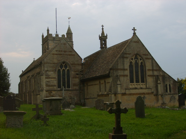
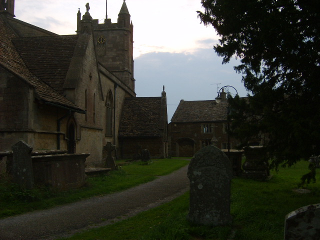
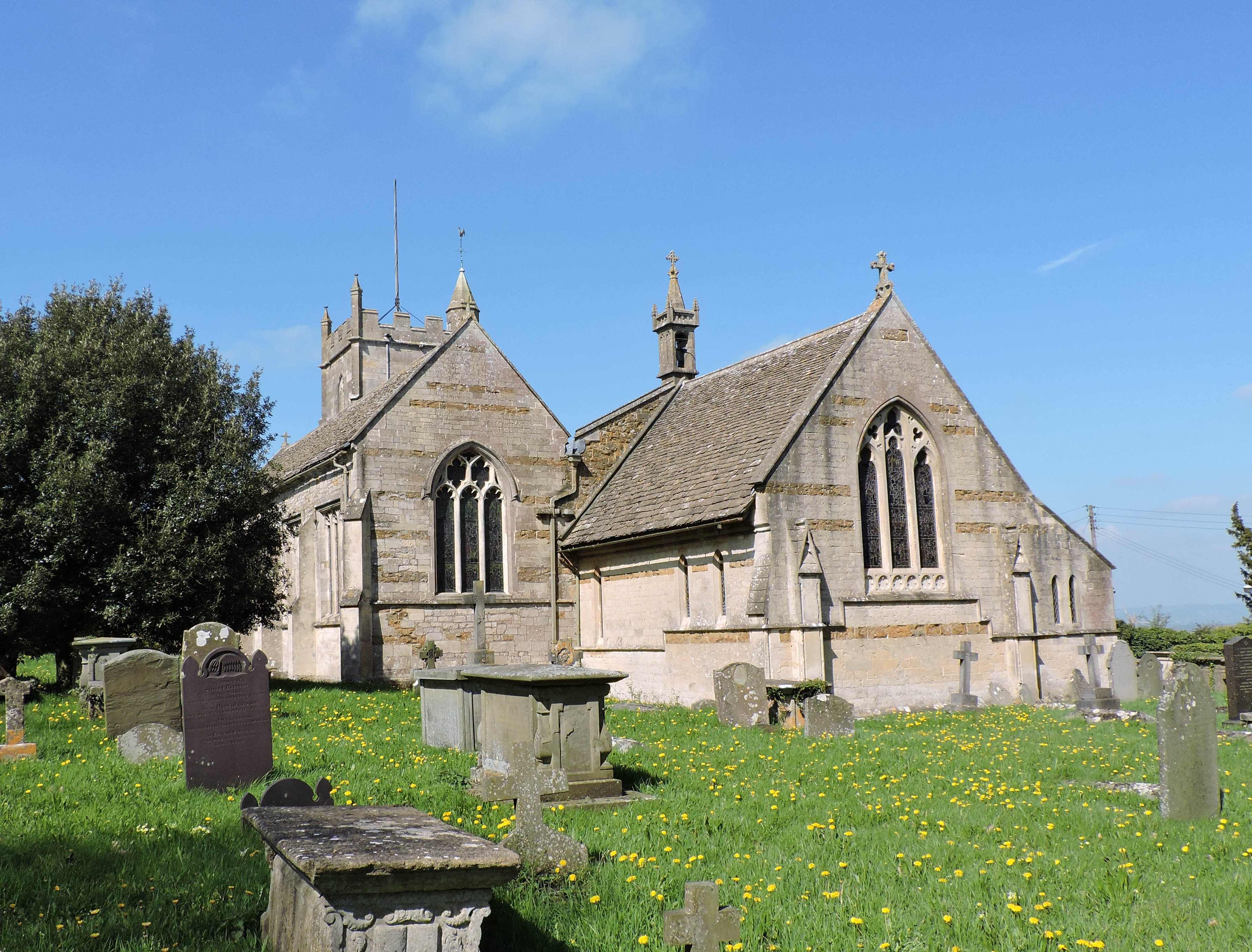
| Memorials | : | 131 |
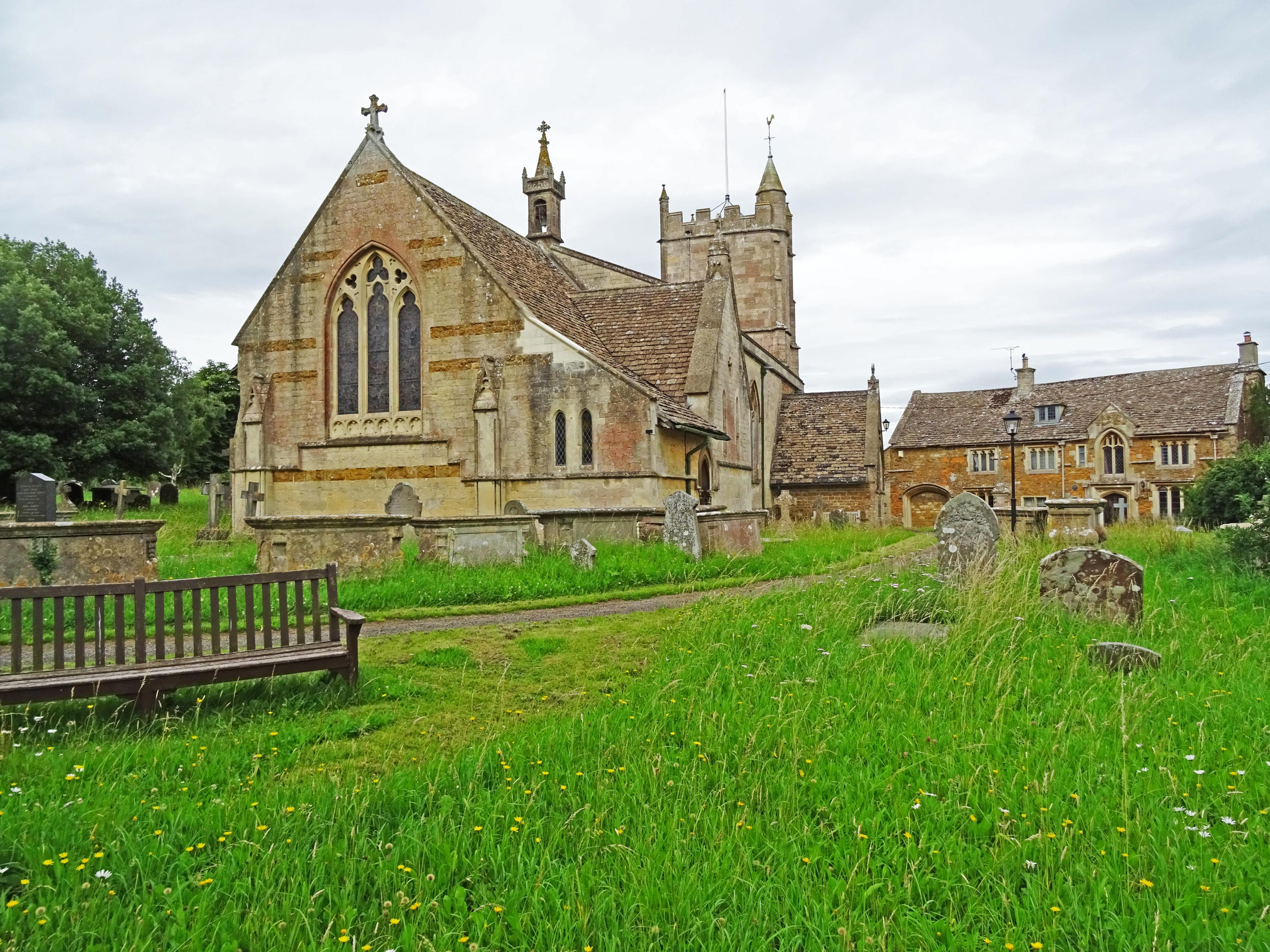
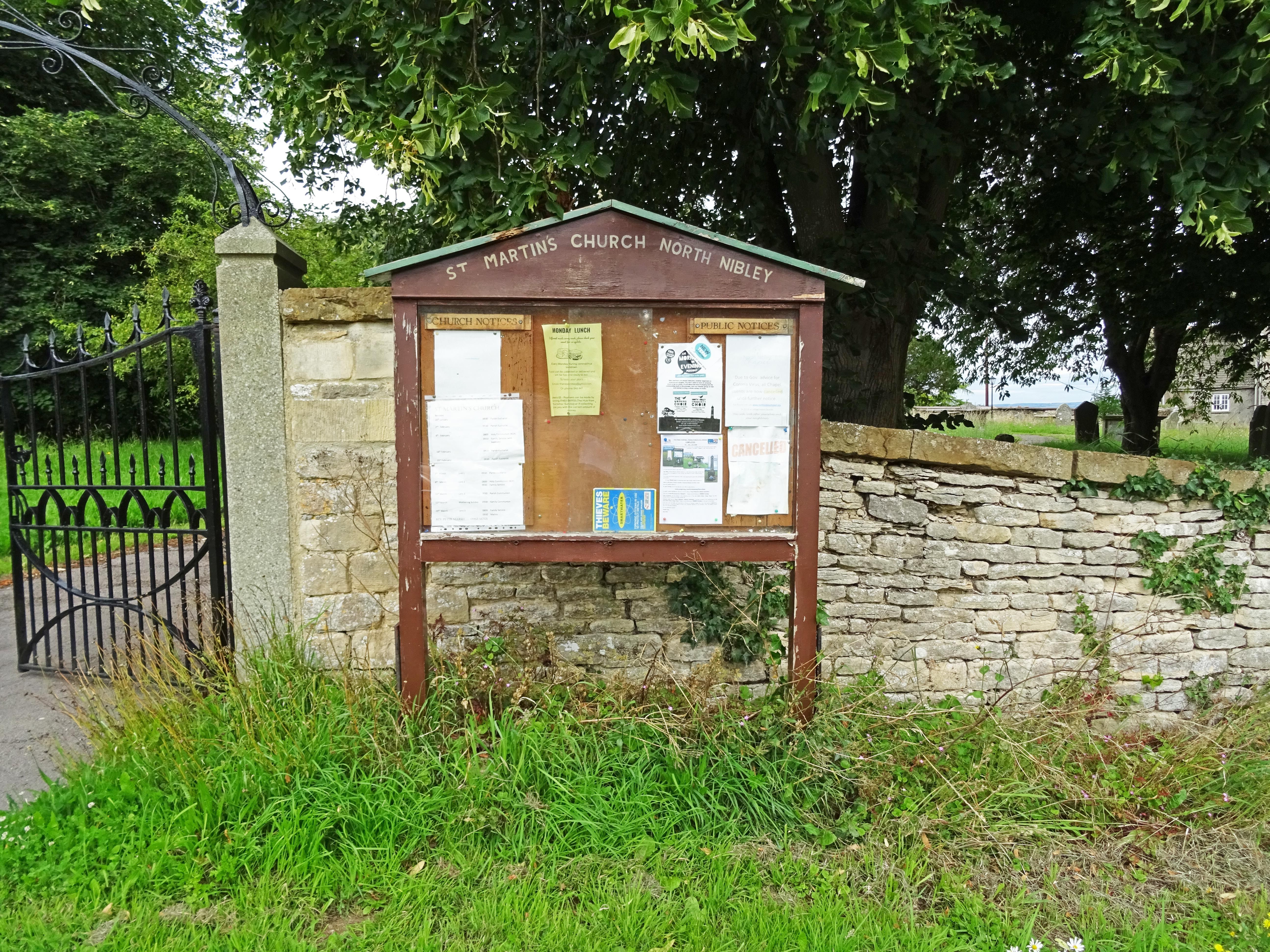
| Location | : | North Nibley, Stroud District, England |
| Coordinate | : | 51.6629860, -2.3836650 |
frequently asked questions (FAQ):
-
Where is St Martin Churchyard?
St Martin Churchyard is located at North Nibley, Stroud District ,Gloucestershire ,England.
-
St Martin Churchyard cemetery's updated grave count on graveviews.com?
131 memorials
-
Where are the coordinates of the St Martin Churchyard?
Latitude: 51.6629860
Longitude: -2.3836650
Nearby Cemetories:
1. North Nibley Cemetery
North Nibley, Stroud District, England
Coordinate: 51.6584100, -2.3768600
2. Dursley Tabernacle URC
Dursley, Stroud District, England
Coordinate: 51.6823727, -2.3571669
3. St Marks Churchyard
Dursley, Stroud District, England
Coordinate: 51.6777900, -2.3499800
4. St. Cyr's Churchyard
Stinchcombe, Stroud District, England
Coordinate: 51.6881090, -2.3927490
5. St James the Great Church
Dursley, Stroud District, England
Coordinate: 51.6812840, -2.3530000
6. Dursley Town Cemetery
Dursley, Stroud District, England
Coordinate: 51.6893700, -2.3623400
7. Wotton Baptist Churchyard
Wotton-under-Edge, Stroud District, England
Coordinate: 51.6371850, -2.3531940
8. St. Mary the Virgin Churchyard
Wotton-under-Edge, Stroud District, England
Coordinate: 51.6390390, -2.3480250
9. The Quarry United Reformed Church
Cam, Stroud District, England
Coordinate: 51.6968858, -2.3789270
10. Cam Congregational Church
Cam, Stroud District, England
Coordinate: 51.6914518, -2.3530424
11. St. George Churchyard
Cam, Stroud District, England
Coordinate: 51.6923120, -2.3524570
12. St Leonard Churchyard
Tortworth, Stroud District, England
Coordinate: 51.6379440, -2.4286650
13. Kingswood Abbey
Kingswood, Stroud District, England
Coordinate: 51.6264381, -2.3667738
14. St. Bartholomew's Churchyard
Dursley, Stroud District, England
Coordinate: 51.7012900, -2.3653000
15. All Saints Churchyard
Stone, Stroud District, England
Coordinate: 51.6566800, -2.4575600
16. St. Mary the Virgin Churchyard
Berkeley, Stroud District, England
Coordinate: 51.6890940, -2.4576150
17. St Giles Churchyard
Uley, Stroud District, England
Coordinate: 51.6853115, -2.3038214
18. St Kenelm Churchyard
Alderley, Stroud District, England
Coordinate: 51.6155170, -2.3357530
19. Mount Pleasant Chapel
Wotton-under-Edge, Stroud District, England
Coordinate: 51.6331000, -2.4610000
20. Berkeley Cemetery
Berkeley, Stroud District, England
Coordinate: 51.6946845, -2.4601617
21. St Nicholas Churchyard
Ozleworth, Cotswold District, England
Coordinate: 51.6380070, -2.2986530
22. Holy Cross Churchyard
Owlpen, Stroud District, England
Coordinate: 51.6841176, -2.2912175
23. St Andrew Churchyard
Cromhall, South Gloucestershire Unitary Authority, England
Coordinate: 51.6121930, -2.4456930
24. Holy Trinity Churchyard
Wickwar, South Gloucestershire Unitary Authority, England
Coordinate: 51.5985120, -2.4006930