
| Memorials | : | 0 |
| Location | : | Castleford, Metropolitan Borough of Wakefield, England |
| Coordinate | : | 53.7277600, -1.3391000 |
frequently asked questions (FAQ):
-
Where is Castleford New Extension Cemetery?
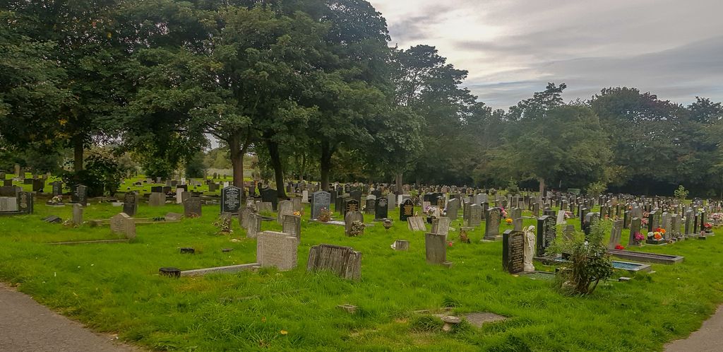
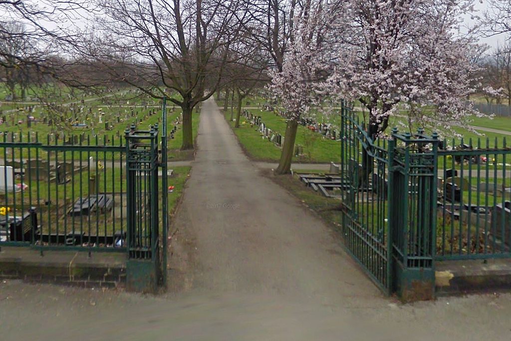
Castleford New Extension Cemetery is located at Healdfield road Castleford, Metropolitan Borough of Wakefield ,West Yorkshire , WF10 4LJEngland.
-
Castleford New Extension Cemetery cemetery's updated grave count on graveviews.com?
0 memorials
-
Where are the coordinates of the Castleford New Extension Cemetery?
Latitude: 53.7277600
Longitude: -1.3391000
Nearby Cemetories:
1. Castleford Old Cemetery
Castleford, Metropolitan Borough of Wakefield, England
Coordinate: 53.7269200, -1.3390300
2. Castleford New Cemetery
Castleford, Metropolitan Borough of Wakefield, England
Coordinate: 53.7259920, -1.3380580
3. All Saints Churchyard
Castleford, Metropolitan Borough of Wakefield, England
Coordinate: 53.7264590, -1.3563080
4. St. Peter's Churchyard
Fryston, Metropolitan Borough of Wakefield, England
Coordinate: 53.7355400, -1.3151100
5. Whitwood Cemetery
Castleford, Metropolitan Borough of Wakefield, England
Coordinate: 53.7181510, -1.3746570
6. St Mary the Less Churchyard
Allerton Bywater, Metropolitan Borough of Leeds, England
Coordinate: 53.7452000, -1.3673620
7. St Philip Churchyard
Whitwood, Metropolitan Borough of Wakefield, England
Coordinate: 53.7147550, -1.3898610
8. Featherstone Cemetery
Featherstone, Metropolitan Borough of Wakefield, England
Coordinate: 53.6977610, -1.3637000
9. St James Churchyard
Fairburn, Selby District, England
Coordinate: 53.7426700, -1.2841000
10. All Saints Churchyard
Featherstone, Metropolitan Borough of Wakefield, England
Coordinate: 53.6935500, -1.3626070
11. Pontefract Cemetery
Pontefract, Metropolitan Borough of Wakefield, England
Coordinate: 53.6945160, -1.3108810
12. St John's Priory of Pontefract
Pontefract, Metropolitan Borough of Wakefield, England
Coordinate: 53.6978050, -1.2987420
13. All Saints Churchyard
Ledsham, Metropolitan Borough of Leeds, England
Coordinate: 53.7622160, -1.3091920
14. All Saints Churchyard
Pontefract, Metropolitan Borough of Wakefield, England
Coordinate: 53.6960100, -1.3010400
15. St. Andrew's Old Churchyard
Ferrybridge, Metropolitan Borough of Wakefield, England
Coordinate: 53.7193380, -1.2748540
16. Ferrybridge Cemetery
Ferrybridge, Metropolitan Borough of Wakefield, England
Coordinate: 53.7102530, -1.2795200
17. St Giles with St Mary Church
Pontefract, Metropolitan Borough of Wakefield, England
Coordinate: 53.6915100, -1.3118300
18. Friends Burial Ground
Pontefract, Metropolitan Borough of Wakefield, England
Coordinate: 53.6924940, -1.3061380
19. St Edward the Confessor Churchyard
Brotherton, Selby District, England
Coordinate: 53.7259200, -1.2709600
20. Brotherton United Reformed Church
Brotherton, Selby District, England
Coordinate: 53.7277104, -1.2698131
21. St. Oswald Churchyard
Methley, Metropolitan Borough of Leeds, England
Coordinate: 53.7345120, -1.4086560
22. Black Friars Pontefract
Pontefract, Metropolitan Borough of Wakefield, England
Coordinate: 53.6876090, -1.3152690
23. St Mary the Virgin Churchyard
Kippax, Metropolitan Borough of Leeds, England
Coordinate: 53.7676520, -1.3686680
24. Pontefract Crematorium
Pontefract, Metropolitan Borough of Wakefield, England
Coordinate: 53.6823460, -1.3314870