
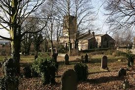
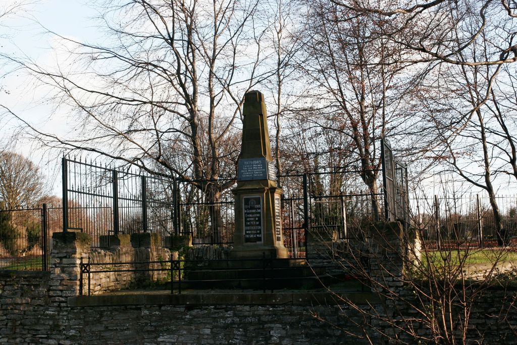
| Memorials | : | 10 |
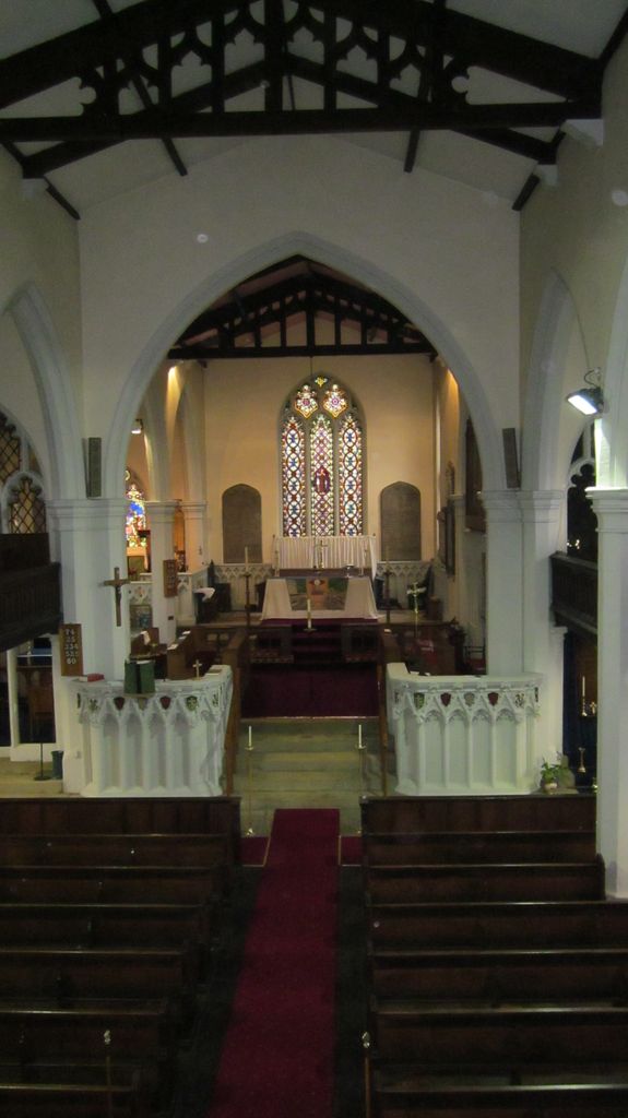
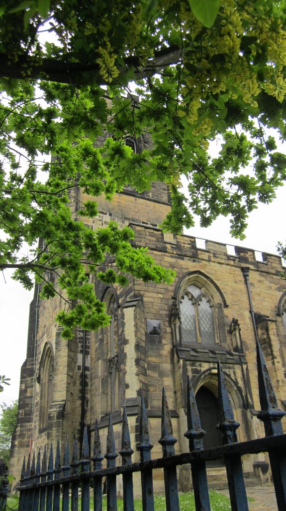
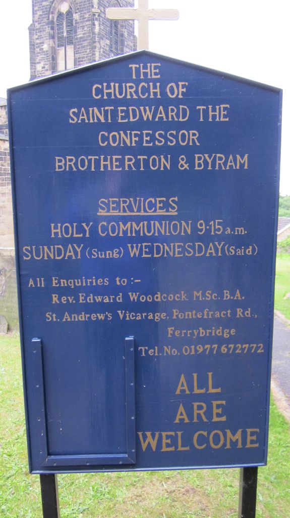
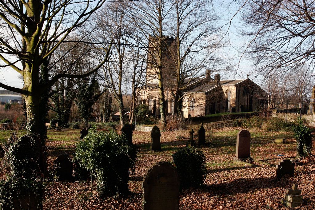
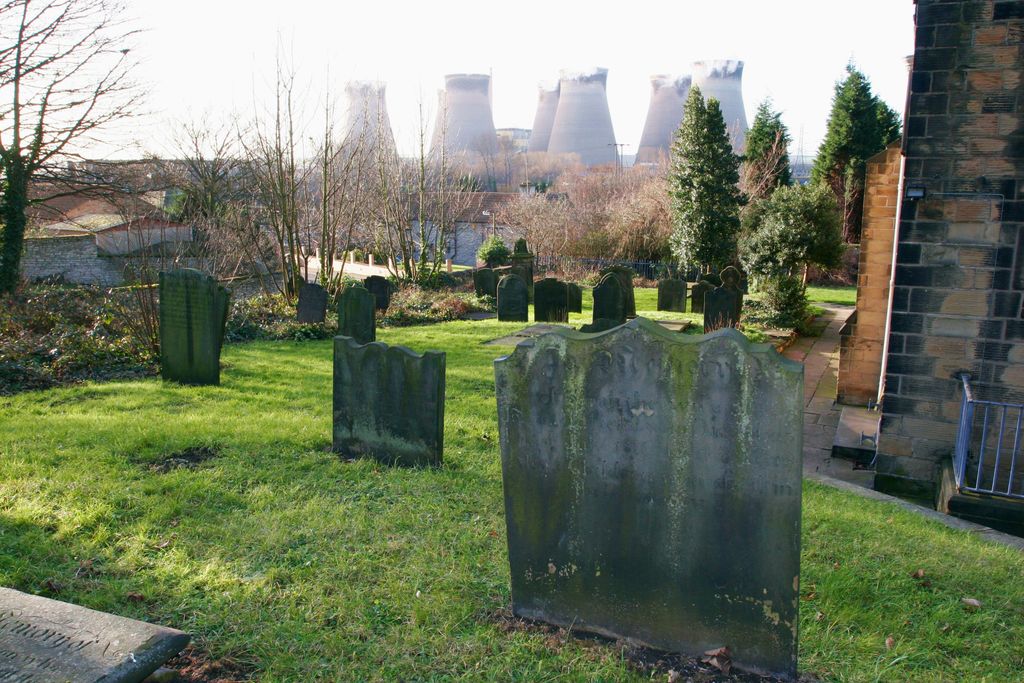
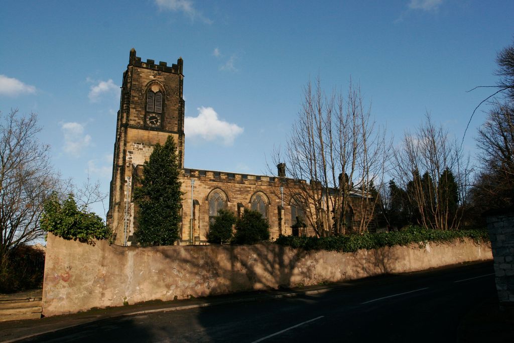
| Location | : | Brotherton, Selby District, England |
| Coordinate | : | 53.7259200, -1.2709600 |
frequently asked questions (FAQ):
-
Where is St Edward the Confessor Churchyard?
St Edward the Confessor Churchyard is located at Brotherton, Selby District ,North Yorkshire ,England.
-
St Edward the Confessor Churchyard cemetery's updated grave count on graveviews.com?
9 memorials
-
Where are the coordinates of the St Edward the Confessor Churchyard?
Latitude: 53.7259200
Longitude: -1.2709600
Nearby Cemetories:
1. Brotherton United Reformed Church
Brotherton, Selby District, England
Coordinate: 53.7277104, -1.2698131
2. St. Andrew's Old Churchyard
Ferrybridge, Metropolitan Borough of Wakefield, England
Coordinate: 53.7193380, -1.2748540
3. Ferrybridge Cemetery
Ferrybridge, Metropolitan Borough of Wakefield, England
Coordinate: 53.7102530, -1.2795200
4. St James Churchyard
Fairburn, Selby District, England
Coordinate: 53.7426700, -1.2841000
5. St. Botolph Churchyard
Knottingley, Metropolitan Borough of Wakefield, England
Coordinate: 53.7108080, -1.2441680
6. United Reformed Churchyard
Knottingley, Metropolitan Borough of Wakefield, England
Coordinate: 53.7104820, -1.2397270
7. Ropewalk Methodist Church Burial Ground
Knottingley, Metropolitan Borough of Wakefield, England
Coordinate: 53.7092850, -1.2408320
8. St. Peter's Churchyard
Fryston, Metropolitan Borough of Wakefield, England
Coordinate: 53.7355400, -1.3151100
9. Knottingley Cemetery
Knottingley, Metropolitan Borough of Wakefield, England
Coordinate: 53.7018600, -1.2363390
10. St John's Priory of Pontefract
Pontefract, Metropolitan Borough of Wakefield, England
Coordinate: 53.6978050, -1.2987420
11. All Saints Churchyard
Pontefract, Metropolitan Borough of Wakefield, England
Coordinate: 53.6960100, -1.3010400
12. Pontefract Cemetery
Pontefract, Metropolitan Borough of Wakefield, England
Coordinate: 53.6945160, -1.3108810
13. Friends Burial Ground
Pontefract, Metropolitan Borough of Wakefield, England
Coordinate: 53.6924940, -1.3061380
14. Castleford New Cemetery
Castleford, Metropolitan Borough of Wakefield, England
Coordinate: 53.7259920, -1.3380580
15. Castleford Old Cemetery
Castleford, Metropolitan Borough of Wakefield, England
Coordinate: 53.7269200, -1.3390300
16. Castleford New Extension Cemetery
Castleford, Metropolitan Borough of Wakefield, England
Coordinate: 53.7277600, -1.3391000
17. St Wilfrid’s Churchyard
Monk Fryston, Selby District, England
Coordinate: 53.7618300, -1.2349700
18. St Giles with St Mary Church
Pontefract, Metropolitan Borough of Wakefield, England
Coordinate: 53.6915100, -1.3118300
19. Monk Fryston Cemetery
Monk Fryston, Selby District, England
Coordinate: 53.7604400, -1.2291700
20. All Saints Churchyard
Ledsham, Metropolitan Borough of Leeds, England
Coordinate: 53.7622160, -1.3091920
21. St Mary Churchyard
Birkin, Selby District, England
Coordinate: 53.7325000, -1.1979000
22. Black Friars Pontefract
Pontefract, Metropolitan Borough of Wakefield, England
Coordinate: 53.6876090, -1.3152690
23. St. Luke and All Saints Churchyard
Darrington, Metropolitan Borough of Wakefield, England
Coordinate: 53.6756540, -1.2673490
24. All Saints Churchyard
Castleford, Metropolitan Borough of Wakefield, England
Coordinate: 53.7264590, -1.3563080