| Memorials | : | 0 |
| Location | : | Harlington, Central Bedfordshire Unitary Authority, England |
| Coordinate | : | 51.9645140, -0.4887520 |
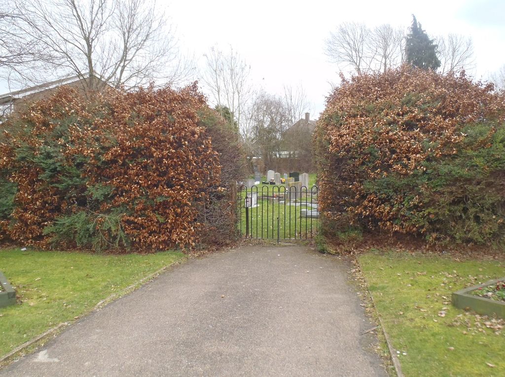
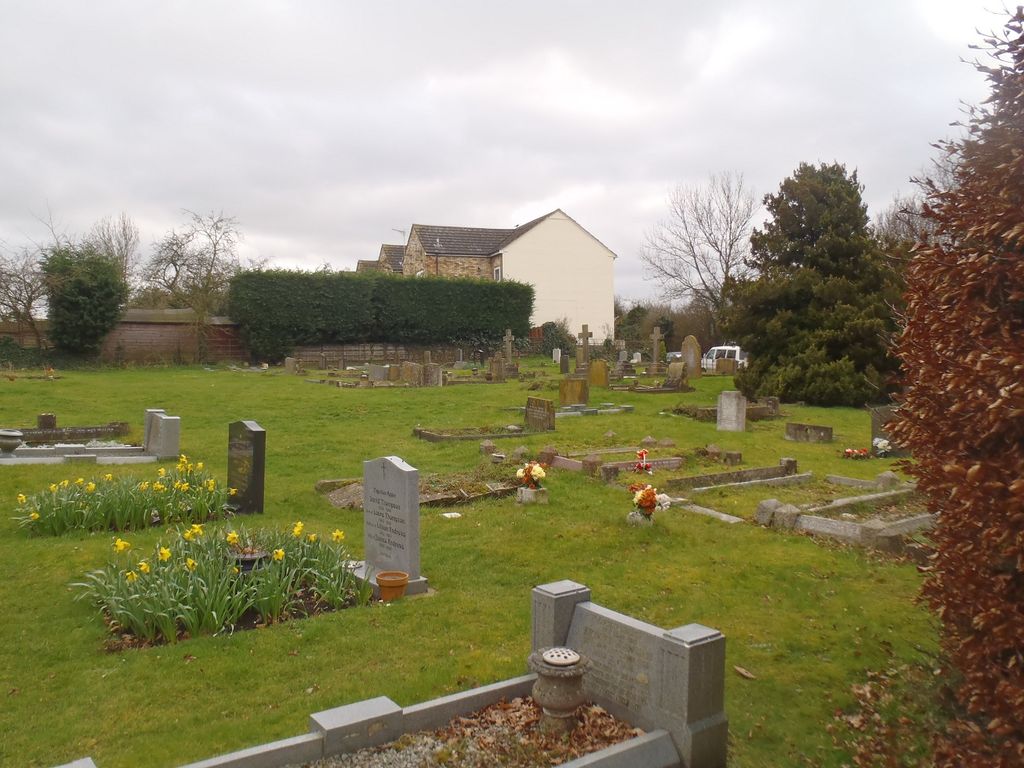
| Description | : | Harlington is a village and civil parish located in Bedfordshire, England, near the M1 motorway. The nearest town is Flitwick about three miles to the north. This cemetery is a extension of the Harlington St Mary the Virgin Churchyard 223264 that is about 300 meters away.Church cemetery describes those burial grounds where there is a new piece of land, not adjoining the existing churchyard, and which has been consecrated as an addition to the church's burial space. |
frequently asked questions (FAQ):
-
Where is St Mary the Virgin Church Cemetery?
St Mary the Virgin Church Cemetery is located at Barton Road Harlington, Central Bedfordshire Unitary Authority ,Bedfordshire , LU5 6LEEngland.
-
St Mary the Virgin Church Cemetery cemetery's updated grave count on graveviews.com?
0 memorials
-
Where are the coordinates of the St Mary the Virgin Church Cemetery?
Latitude: 51.9645140
Longitude: -0.4887520
Nearby Cemetories:
1. St Mary the Virgin Churchyard
Harlington, Central Bedfordshire Unitary Authority, England
Coordinate: 51.9637650, -0.4909810
2. St. Mary Magdalene Church Cemetery
Westoning, Central Bedfordshire Unitary Authority, England
Coordinate: 51.9834500, -0.5014400
3. St. Mary Magdalene Churchyard
Westoning, Central Bedfordshire Unitary Authority, England
Coordinate: 51.9841592, -0.5041169
4. Toddington Parish Cemetery
Toddington, Central Bedfordshire Unitary Authority, England
Coordinate: 51.9509830, -0.5282330
5. St George of England Parish Church
Toddington, Central Bedfordshire Unitary Authority, England
Coordinate: 51.9498000, -0.5318000
6. St Nicholas Churchyard
Tingrith, Central Bedfordshire Unitary Authority, England
Coordinate: 51.9812660, -0.5347790
7. St Peter and St Paul Churchyard
Flitwick, Central Bedfordshire Unitary Authority, England
Coordinate: 51.9970866, -0.5015783
8. Flitwick Burial Ground
Flitwick, Central Bedfordshire Unitary Authority, England
Coordinate: 51.9974993, -0.5008905
9. St. James Churchyard
Pulloxhill, Central Bedfordshire Unitary Authority, England
Coordinate: 51.9924399, -0.4552110
10. St. Mary the Virgin Churchyard
Sundon, Central Bedfordshire Unitary Authority, England
Coordinate: 51.9301970, -0.4769740
11. All Saints Churchyard
Chalgrave, Central Bedfordshire Unitary Authority, England
Coordinate: 51.9362000, -0.5343000
12. St Lawrence Churchyard
Steppingley, Central Bedfordshire Unitary Authority, England
Coordinate: 52.0080630, -0.5278050
13. St John the Baptist Churchyard
Flitton, Central Bedfordshire Unitary Authority, England
Coordinate: 52.0110150, -0.4578050
14. St John the Baptist Churchyard
Eversholt, Central Bedfordshire Unitary Authority, England
Coordinate: 51.9822680, -0.5702150
15. St. Faith's Churchyard
Hexton, North Hertfordshire District, England
Coordinate: 51.9609275, -0.3944721
16. St James the Great Churchyard
Silsoe, Central Bedfordshire Unitary Authority, England
Coordinate: 52.0082000, -0.4246200
17. St Margaret Churchyard
Higham Gobion, Central Bedfordshire Unitary Authority, England
Coordinate: 51.9825550, -0.3942590
18. St. Peter Churchyard
Milton Bryan, Central Bedfordshire Unitary Authority, England
Coordinate: 51.9671660, -0.5879490
19. All Saints Churchyard
Houghton Regis, Central Bedfordshire Unitary Authority, England
Coordinate: 51.9048640, -0.5212930
20. Houghton Regis Cemetery
Houghton Regis, Central Bedfordshire Unitary Authority, England
Coordinate: 51.9019710, -0.5229130
21. St Andrew Churchyard
Ampthill, Central Bedfordshire Unitary Authority, England
Coordinate: 52.0331050, -0.4897250
22. St. Mary the Virgin Churchyard
Maulden, Central Bedfordshire Unitary Authority, England
Coordinate: 52.0307500, -0.4588700
23. Holy Trinity Churchyard
Biscot, Luton Borough, England
Coordinate: 51.9028700, -0.4375560
24. Ampthill Cemetery
Ampthill, Central Bedfordshire Unitary Authority, England
Coordinate: 52.0341527, -0.4871042


