
| Memorials | : | 0 |
| Location | : | Leicester, Leicester Unitary Authority, England |
| Coordinate | : | 52.6867020, -1.2110290 |
frequently asked questions (FAQ):
-
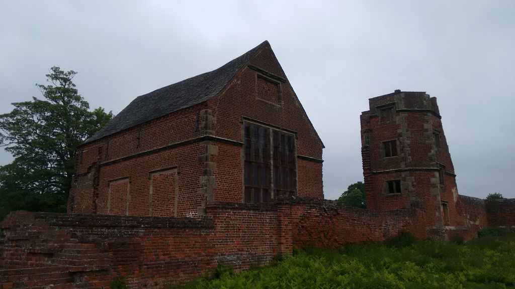
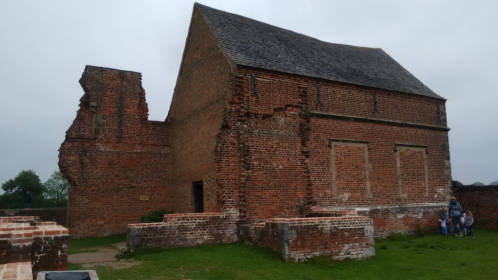
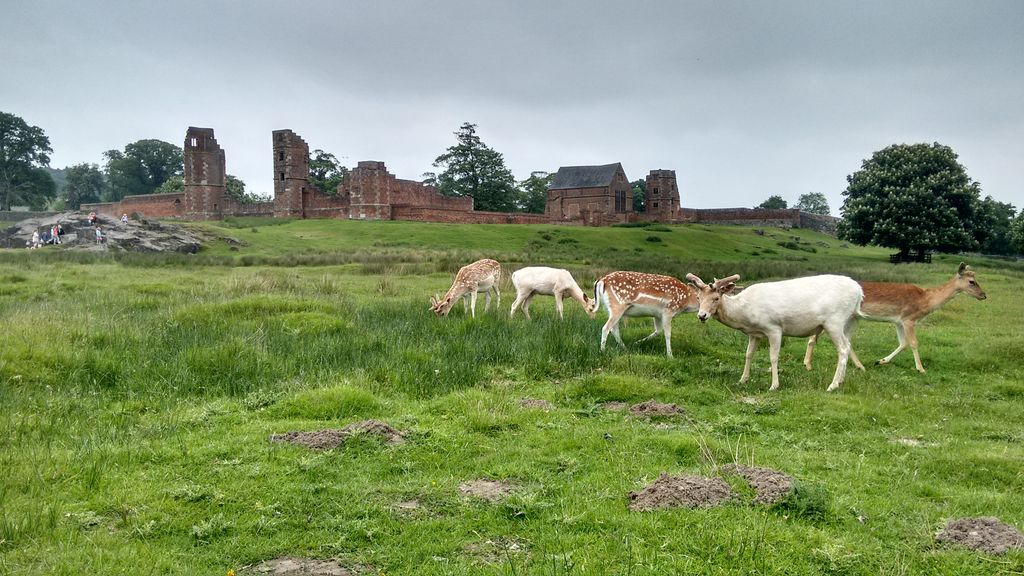
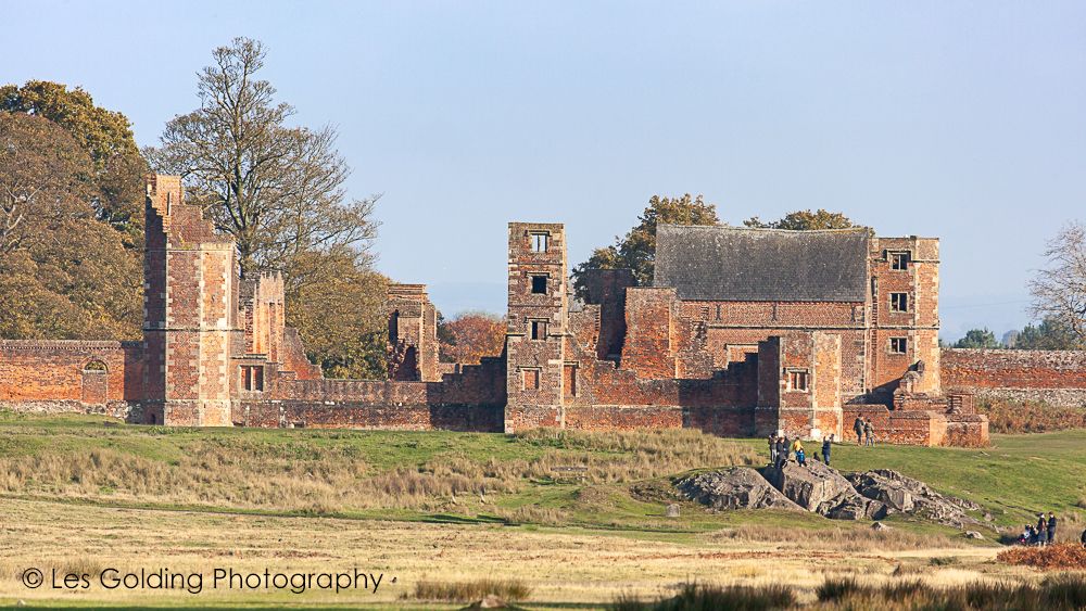
Where is Bradgate House Chapelyard?
Bradgate House Chapelyard is located at Leicester, Leicester Unitary Authority ,Leicestershire ,England.
-
Bradgate House Chapelyard cemetery's updated grave count on graveviews.com?
0 memorials
-
Where are the coordinates of the Bradgate House Chapelyard?
Latitude: 52.6867020
Longitude: -1.2110290
Nearby Cemetories:
1. All Saints Churchyard
Newtown Linford, Charnwood Borough, England
Coordinate: 52.6832010, -1.2292860
2. Newtown Linford Parish Cemetery
Newtown Linford, Charnwood Borough, England
Coordinate: 52.6812092, -1.2308014
3. St Mary's Church
Anstey, Charnwood Borough, England
Coordinate: 52.6720090, -1.1888250
4. Anstey Cemetery
Anstey, Charnwood Borough, England
Coordinate: 52.6680480, -1.1955570
5. St. Philip and St. James Churchyard
Groby, Hinckley and Bosworth Borough, England
Coordinate: 52.6639220, -1.2278540
6. All Saints Churchyard
Thurcaston, Charnwood Borough, England
Coordinate: 52.6906870, -1.1647320
7. St. Leonard's Churchyard
Swithland, Charnwood Borough, England
Coordinate: 52.7103000, -1.1800300
8. St. Paul's Churchyard
Woodhouse, Charnwood Borough, England
Coordinate: 52.7216880, -1.2139190
9. Groby Village Cemetery
Groby, Hinckley and Bosworth Borough, England
Coordinate: 52.6542170, -1.2348310
10. Markfield Cemetery
Markfield, Hinckley and Bosworth Borough, England
Coordinate: 52.6878983, -1.2707406
11. St Mary's Priory
Ulverscroft, Charnwood Borough, England
Coordinate: 52.7098890, -1.2598610
12. St Peter's Church
Glenfield, Blaby District, England
Coordinate: 52.6490490, -1.2063180
13. Saint Michael and All Angels Churchyard
Markfield, Hinckley and Bosworth Borough, England
Coordinate: 52.6869930, -1.2793315
14. Gilroes Cemetery and Crematorium
Leicester, Leicester Unitary Authority, England
Coordinate: 52.6514359, -1.1721700
15. St Philip and St James Churchyard
Ratby, Hinckley and Bosworth Borough, England
Coordinate: 52.6489370, -1.2433610
16. Chapel of the Knights Templar
Rothley, Charnwood Borough, England
Coordinate: 52.7056000, -1.1478000
17. St. Mary in the Elms Churchyard
Woodhouse, Charnwood Borough, England
Coordinate: 52.7313280, -1.2039850
18. Greengate Lane Cemetery
Birstall, Charnwood Borough, England
Coordinate: 52.6800110, -1.1346940
19. St Bartholomew Churchyard
Kirby Muxloe, Blaby District, England
Coordinate: 52.6371750, -1.2320940
20. Kirby Muxloe Cemetery
Kirby Muxloe, Blaby District, England
Coordinate: 52.6373740, -1.2337780
21. St. Mary and St. John Churchyard
Rothley, Charnwood Borough, England
Coordinate: 52.7083290, -1.1340270
22. Belgrave Cemetery
Belgrave, Leicester Unitary Authority, England
Coordinate: 52.6653570, -1.1311220
23. Rothley Cemetery
Rothley, Charnwood Borough, England
Coordinate: 52.7162850, -1.1367740
24. St James the Great Churchyard
Birstall, Charnwood Borough, England
Coordinate: 52.6741150, -1.1189210