
| Memorials | : | 16 |
| Location | : | Kirby Muxloe, Blaby District, England |
| Coordinate | : | 52.6373740, -1.2337780 |
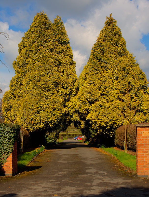
| Description | : | A small Cemetery intended for a small community. The entrance is unsigned and the Cemetery not easy to see from the road. The Cemetery is now only accepting interments from the local town of Kirby Muxloe. Constant attention to levelling is needed due to a spring that runs under the area. Very peaceful and well looked after. |
frequently asked questions (FAQ):
-
Where is Kirby Muxloe Cemetery?
Kirby Muxloe Cemetery is located at Kirby Muxloe, Blaby District ,Leicestershire ,England.
-
Kirby Muxloe Cemetery cemetery's updated grave count on graveviews.com?
16 memorials
-
Where are the coordinates of the Kirby Muxloe Cemetery?
Latitude: 52.6373740
Longitude: -1.2337780

Nearby Cemetories:
1. St Bartholomew Churchyard
Kirby Muxloe, Blaby District, England
Coordinate: 52.6371750, -1.2320940
2. St Philip and St James Churchyard
Ratby, Hinckley and Bosworth Borough, England
Coordinate: 52.6489370, -1.2433610
3. Groby Village Cemetery
Groby, Hinckley and Bosworth Borough, England
Coordinate: 52.6542170, -1.2348310
4. St Peter's Church
Glenfield, Blaby District, England
Coordinate: 52.6490490, -1.2063180
5. St. Philip and St. James Churchyard
Groby, Hinckley and Bosworth Borough, England
Coordinate: 52.6639220, -1.2278540
6. St Peter's Churchyard
Braunstone, Blaby District, England
Coordinate: 52.6208940, -1.1812900
7. St Martin Churchyard
Desford, Hinckley and Bosworth Borough, England
Coordinate: 52.6268250, -1.2943410
8. Anstey Cemetery
Anstey, Charnwood Borough, England
Coordinate: 52.6680480, -1.1955570
9. Gilroes Cemetery and Crematorium
Leicester, Leicester Unitary Authority, England
Coordinate: 52.6514359, -1.1721700
10. Newtown Linford Parish Cemetery
Newtown Linford, Charnwood Borough, England
Coordinate: 52.6812092, -1.2308014
11. St Mary's Church
Anstey, Charnwood Borough, England
Coordinate: 52.6720090, -1.1888250
12. Desford Cemetery
Desford, Hinckley and Bosworth Borough, England
Coordinate: 52.6278100, -1.3068590
13. All Saints Churchyard
Newtown Linford, Charnwood Borough, England
Coordinate: 52.6832010, -1.2292860
14. St John the Baptist Churchyard
Enderby, Blaby District, England
Coordinate: 52.5901570, -1.2077130
15. Enderby Dissenters' Cemetery
Enderby, Blaby District, England
Coordinate: 52.5904190, -1.2049480
16. Enderby New Cemetery
Enderby, Blaby District, England
Coordinate: 52.5902330, -1.2048290
17. Bradgate House Chapelyard
Leicester, Leicester Unitary Authority, England
Coordinate: 52.6867020, -1.2110290
18. All Saints Churchyard
Thurlaston, Blaby District, England
Coordinate: 52.5870530, -1.2599600
19. St. Peter's Churchyard
Thornton Abbey, North Lincolnshire Unitary Authority, England
Coordinate: 52.6646972, -1.3089069
20. St Peter's Churchyard
Bagworth, Hinckley and Bosworth Borough, England
Coordinate: 52.6646520, -1.3091920
21. Markfield Cemetery
Markfield, Hinckley and Bosworth Borough, England
Coordinate: 52.6878983, -1.2707406
22. St Mary Magdalene Peckleton
Peckleton, Hinckley and Bosworth Borough, England
Coordinate: 52.6031910, -1.3071160
23. Church of the Annunciation of St. Mary
Leicester, Leicester Unitary Authority, England
Coordinate: 52.6308229, -1.1417201
24. St. Nicholas Church
Leicester, Leicester Unitary Authority, England
Coordinate: 52.6351400, -1.1408940