
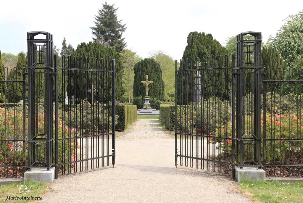
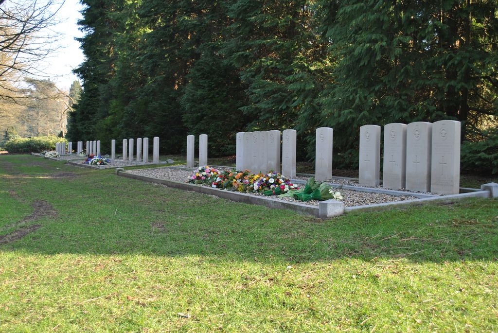
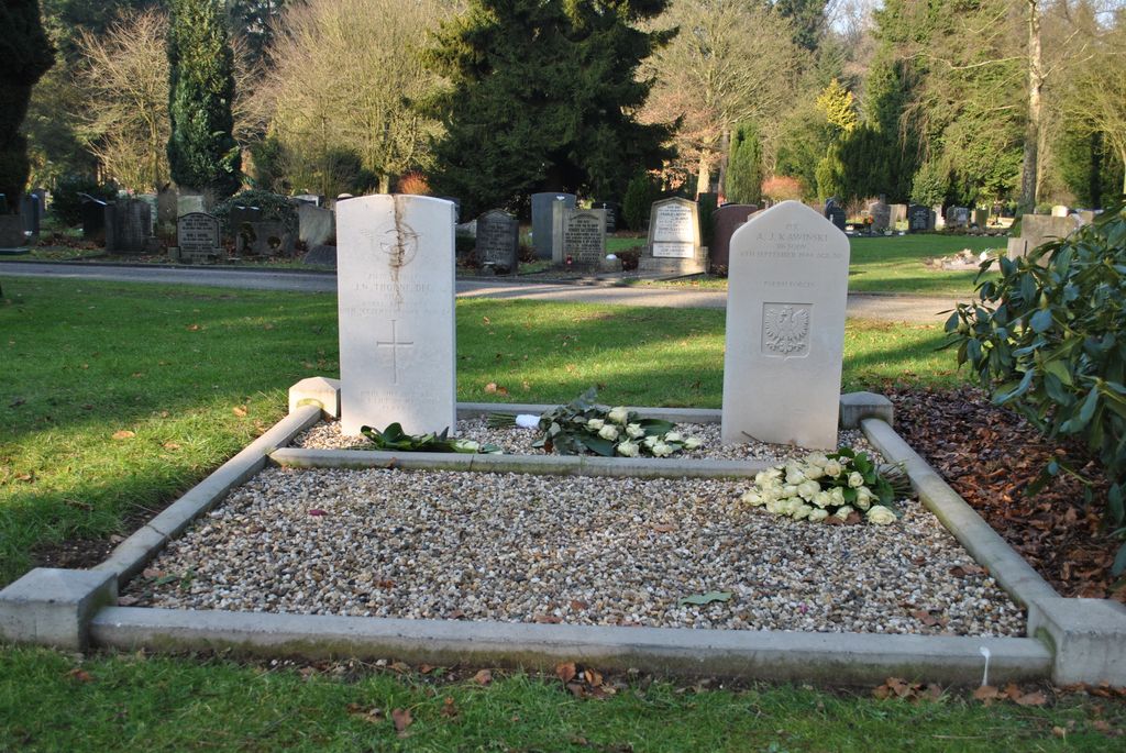
| Memorials | : | 1 |
| Location | : | Arnhem, Arnhem Municipality, Netherlands |
| Coordinate | : | 52.0050800, 5.9152800 |
frequently asked questions (FAQ):
-
Where is Arnhem Moscowa General Cemetery?
Arnhem Moscowa General Cemetery is located at Arnhem, Arnhem Municipality ,Gelderland ,Netherlands.
-
Arnhem Moscowa General Cemetery cemetery's updated grave count on graveviews.com?
1 memorials
-
Where are the coordinates of the Arnhem Moscowa General Cemetery?
Latitude: 52.0050800
Longitude: 5.9152800
Nearby Cemetories:
1. Joodse Begraafplaats Moscowa
Arnhem, Arnhem Municipality, Netherlands
Coordinate: 52.0022860, 5.9203300
2. Voormalige Begraafplaats Onder de Linden
Arnhem, Arnhem Municipality, Netherlands
Coordinate: 51.9889652, 5.9166571
3. Joodse Begraafplaats Utrechtseweg
Arnhem, Arnhem Municipality, Netherlands
Coordinate: 51.9853100, 5.8906500
4. Rozendaal Communal Cemetery
Rozendaal, Rozendaal Municipality, Netherlands
Coordinate: 52.0131400, 5.9683700
5. Schaarsbergen Vredenoord Cemetery
Schaarsbergen, Arnhem Municipality, Netherlands
Coordinate: 52.0290600, 5.8745300
6. Velp Old Protestant Cemetery
Velp, Rheden Municipality, Netherlands
Coordinate: 51.9927300, 5.9816100
7. Oosterbeek General Cemetery
Oosterbeek, Renkum Municipality, Netherlands
Coordinate: 51.9920100, 5.8490100
8. Arnhem War Cemetery
Oosterbeek, Renkum Municipality, Netherlands
Coordinate: 51.9931800, 5.8481900
9. Oude Algemene Begraafplaats
Oosterbeek, Renkum Municipality, Netherlands
Coordinate: 51.9832100, 5.8434700
10. Rheden Heiderust General Cemetery
Rheden, Rheden Municipality, Netherlands
Coordinate: 52.0083600, 6.0077900
11. Natuurbegraafplaats Heidepol
Arnhem, Arnhem Municipality, Netherlands
Coordinate: 52.0333784, 5.8232974
12. Doorwerth Roman Catholic Cemetery
Doorwerth, Renkum Municipality, Netherlands
Coordinate: 51.9783200, 5.8058900
13. NH Begraafplaats De Pinkel
Rheden, Rheden Municipality, Netherlands
Coordinate: 52.0087450, 6.0354830
14. Driel Protestant Churchyard
Driel, Overbetuwe Municipality, Netherlands
Coordinate: 51.9619700, 5.8113700
15. Roman Catholic Cemetery
Duiven, Duiven Municipality, Netherlands
Coordinate: 51.9495185, 6.0238638
16. Algemene Begraafplaats 't Heijlige Lant
Duiven, Duiven Municipality, Netherlands
Coordinate: 51.9452663, 6.0353131
17. Landgoed Groenouwe Mausoleum
Loenen, Apeldoorn Municipality, Netherlands
Coordinate: 52.0965000, 6.0120300
18. Heteren General Cemetery
Heteren, Overbetuwe Municipality, Netherlands
Coordinate: 51.9530900, 5.7574100
19. Renkum Roman Catholic Cemetery
Renkum, Renkum Municipality, Netherlands
Coordinate: 51.9752800, 5.7375200
20. Hoenderloo Nederlands Hervormde Begraafplaats
Hoenderloo, Apeldoorn Municipality, Netherlands
Coordinate: 52.1200700, 5.8805700
21. Nationale Veteranenbegraafplaats Loenen
Loenen, Apeldoorn Municipality, Netherlands
Coordinate: 52.1138024, 5.9935134
22. Oude Algemene Begraafplaats
Dieren, Rheden Municipality, Netherlands
Coordinate: 52.0485900, 6.0967600
23. Joodse Begraafplaats Arnhemseweg
Zevenaar Municipality, Netherlands
Coordinate: 51.9308280, 6.0700100
24. Nationaal Ereveld Loenen
Loenen, Apeldoorn Municipality, Netherlands
Coordinate: 52.1147600, 6.0000200