
| Memorials | : | 0 |
| Location | : | Cretcher, Saline County, USA |
| Coordinate | : | 39.0386000, -93.3465100 |
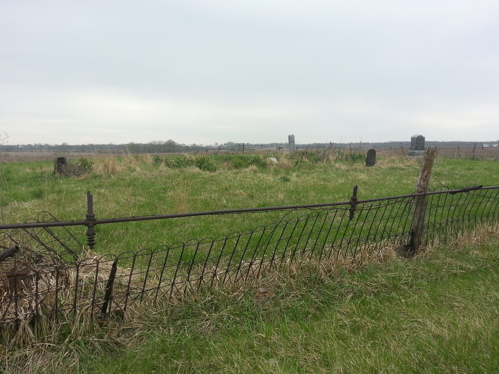
| Description | : | The cemetery is in Township 49, Range 22, Section 17. More specifically, it is in the northwest quarter of the northeast quarter of Section 17. The cemetery shows plainly on Google satellite, a grassy area with tombstones between terraced fields. There may be around 100 burials. Driving directions: From Highway 20 west of Marshall, turn south on Route EE. Drive 3 3/4 miles south to 170 Trail, intersecting from the west. (170 Trail is the fifth gravel road intersecting on the west from Highway 20.) Turn west on 170 Trail and drive for 1.2 miles to where 317 Road intersects... Read More |
frequently asked questions (FAQ):
-
Where is Bailey Family Cemetery?
Bailey Family Cemetery is located at Cretcher, Saline County ,Missouri ,USA.
-
Bailey Family Cemetery cemetery's updated grave count on graveviews.com?
0 memorials
-
Where are the coordinates of the Bailey Family Cemetery?
Latitude: 39.0386000
Longitude: -93.3465100
Nearby Cemetories:
1. Providence Cemetery
Saline County, USA
Coordinate: 39.0461006, -93.3221970
2. Goshen Cemetery
Sweet Springs, Saline County, USA
Coordinate: 39.0656013, -93.3396988
3. Mount Zion Cemetery
Sweet Springs, Saline County, USA
Coordinate: 39.0458860, -93.3821710
4. Antioch Cemetery
Saline County, USA
Coordinate: 39.0096510, -93.3205430
5. Salt Pond Methodist Cemetery
Sweet Springs, Saline County, USA
Coordinate: 39.0662660, -93.3913880
6. Salt Pond African Baptist Church Cemetery
Elmwood, Saline County, USA
Coordinate: 39.0636500, -93.3958100
7. Lynch Cemetery
Sweet Springs, Saline County, USA
Coordinate: 39.0262400, -93.4106200
8. Gross Cemetery
Sweet Springs, Saline County, USA
Coordinate: 39.0130997, -93.4085999
9. Christ Lutheran Cemetery
Sweet Springs, Saline County, USA
Coordinate: 38.9817970, -93.3272270
10. Hazel Grove Cemetery
Herndon, Saline County, USA
Coordinate: 39.0079500, -93.2769660
11. Oak Grove Cemetery
Sweet Springs, Saline County, USA
Coordinate: 38.9710999, -93.3683014
12. Rose Valley Methodist Episcopal Cemetery
Sweet Springs, Saline County, USA
Coordinate: 38.9627991, -93.3277969
13. Pisgah Cemetery
Saline County, USA
Coordinate: 39.0722250, -93.4419240
14. Fairview Cemetery
Sweet Springs, Saline County, USA
Coordinate: 38.9714012, -93.4135971
15. Salt Springs Cemetery
Saline County, USA
Coordinate: 39.1264000, -93.3460999
16. Poe Cemetery
Sweet Springs, Saline County, USA
Coordinate: 39.0249200, -93.4641600
17. Mount Saint Marys Cemetery
Shackleford, Saline County, USA
Coordinate: 39.1366997, -93.3058014
18. Finis Creek Negro Cemetery
Marshall, Saline County, USA
Coordinate: 39.0207800, -93.2142900
19. Blue Lick Cemetery
Blue Lick, Saline County, USA
Coordinate: 39.0143220, -93.2142900
20. Mount Olive Cemetery
Marshall, Saline County, USA
Coordinate: 39.0566310, -93.2100890
21. Lockney Cemetery
Marshall, Saline County, USA
Coordinate: 38.9834667, -93.2174667
22. Marshall City Cemetery
Marshall, Saline County, USA
Coordinate: 39.1081230, -93.2135120
23. Holy Cross Lutheran Cemetery
Emma, Lafayette County, USA
Coordinate: 38.9828987, -93.4947662
24. Blackburn Cemetery
Blackburn, Saline County, USA
Coordinate: 39.1178017, -93.4800034