
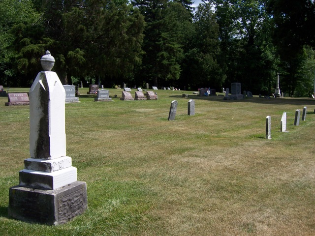
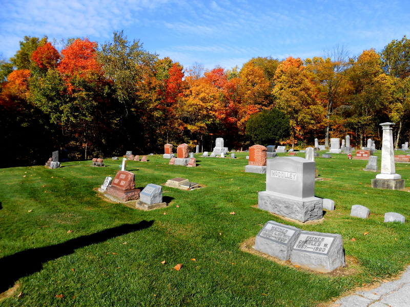
| Memorials | : | 32 |
| Location | : | Grand Rapids, Wood County, USA |
| Coordinate | : | 41.3883018, -83.8463974 |
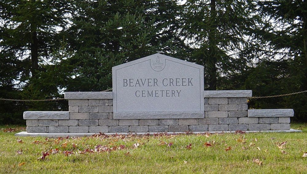
| Description | : | The cemetery is located on both the east and west sides of Beaver Creek Road (Township Road 203) at its intersection with Poe Road / Custar Road (County Road 78). The cemetery is located in Grand Rapids Township, Wood County, Ohio, and is # 12857 (Beaver Creek Cemetery) in “Ohio Cemeteries 1803-2003”, compiled by the Ohio Genealogical Society. The cemetery is registered with the Ohio Division of Real Estate and Professional Licensing (ODRE) as Sacred Heart Cemetery with registration license number CGR.0000980923. The U.S. Geological Survey (USGS) Geographic Names Information System (GNIS) feature ID for the cemetery is... Read More |
frequently asked questions (FAQ):
-
Where is Beaver Creek Cemetery?
Beaver Creek Cemetery is located at Custar Road / Poe Road (County Road 78) and Beaver Creek Road (Township Road 203) Grand Rapids, Wood County ,Ohio , 43522USA.
-
Beaver Creek Cemetery cemetery's updated grave count on graveviews.com?
28 memorials
-
Where are the coordinates of the Beaver Creek Cemetery?
Latitude: 41.3883018
Longitude: -83.8463974
Nearby Cemetories:
1. Howard Cemetery
Grand Rapids, Wood County, USA
Coordinate: 41.4128342, -83.8638992
2. Showman Cemetery
Napoleon, Henry County, USA
Coordinate: 41.4101260, -83.8778690
3. Saint Patricks Cemetery
Providence, Lucas County, USA
Coordinate: 41.4268990, -83.8469009
4. Pottertown Cemetery
Weston, Wood County, USA
Coordinate: 41.3499985, -83.8696976
5. New Weston Cemetery
Weston, Wood County, USA
Coordinate: 41.3575800, -83.7923300
6. Old Weston Cemetery
Weston, Wood County, USA
Coordinate: 41.3578700, -83.7905600
7. Hockman Cemetery
McClure, Henry County, USA
Coordinate: 41.3792240, -83.9333470
8. Washington Cemetery
Tontogany, Wood County, USA
Coordinate: 41.4227982, -83.7675018
9. North Cemetery
McClure, Henry County, USA
Coordinate: 41.3863983, -83.9411011
10. Otsego Cemetery
Tontogany, Wood County, USA
Coordinate: 41.4444008, -83.7827988
11. Mount Pleasant Cemetery
Neapolis, Lucas County, USA
Coordinate: 41.4585700, -83.8778000
12. Angel Cemetery
Richfield Township, Henry County, USA
Coordinate: 41.3177986, -83.8902969
13. Tontogany Cemetery
Tontogany, Wood County, USA
Coordinate: 41.4294014, -83.7427979
14. Wiemer Cemetery
Henry County, USA
Coordinate: 41.4125970, -83.9611500
15. Texas Cemetery
Texas, Henry County, USA
Coordinate: 41.4286003, -83.9539032
16. Olive Branch Cemetery
McClure, Henry County, USA
Coordinate: 41.3833008, -83.9713974
17. Milton Township Cemetery
Custar, Wood County, USA
Coordinate: 41.2922700, -83.8416100
18. Richfield Cemetery
Henry County, USA
Coordinate: 41.2977982, -83.8985977
19. Plain Township Cemetery
Bowling Green, Wood County, USA
Coordinate: 41.3861600, -83.7104900
20. Saint Louis Cemetery Old
Custar, Wood County, USA
Coordinate: 41.2854660, -83.8388800
21. Wood County Memory Gardens
Bowling Green, Wood County, USA
Coordinate: 41.3763800, -83.7083930
22. Saint Louis Cemetery
Custar, Wood County, USA
Coordinate: 41.2839012, -83.8332977
23. Heath-Colton Cemetery
Colton, Henry County, USA
Coordinate: 41.4734180, -83.9405300
24. Kruger Cemetery
Liberty Center, Henry County, USA
Coordinate: 41.4036000, -84.0022000