
| Memorials | : | 0 |
| Location | : | Custar, Wood County, USA |
| Coordinate | : | 41.2839012, -83.8332977 |
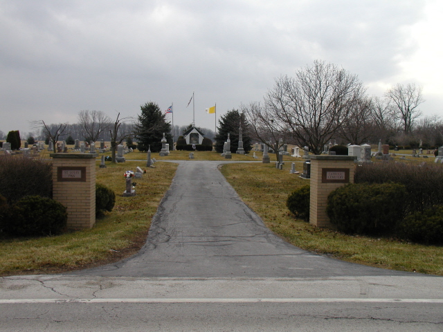
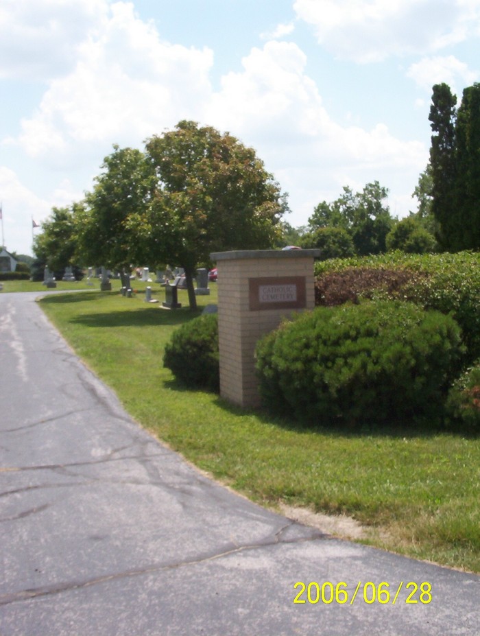
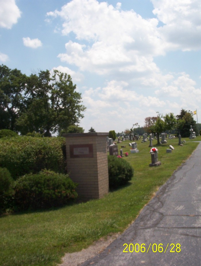
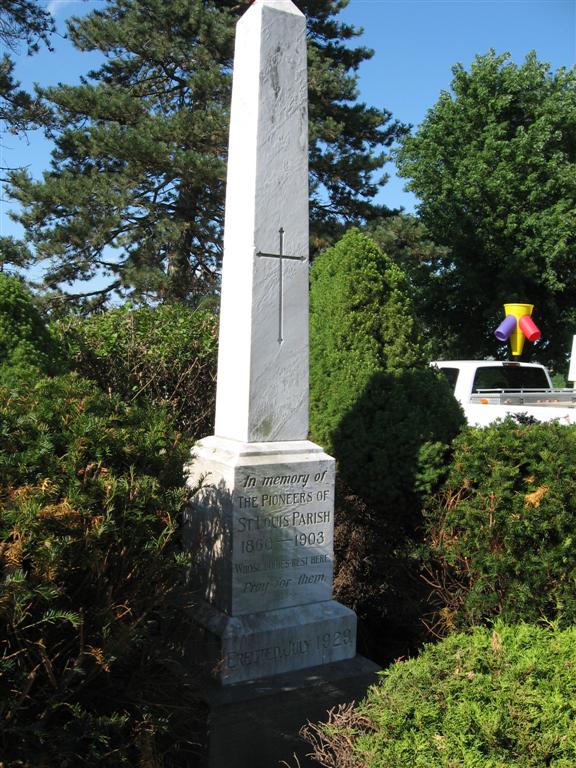
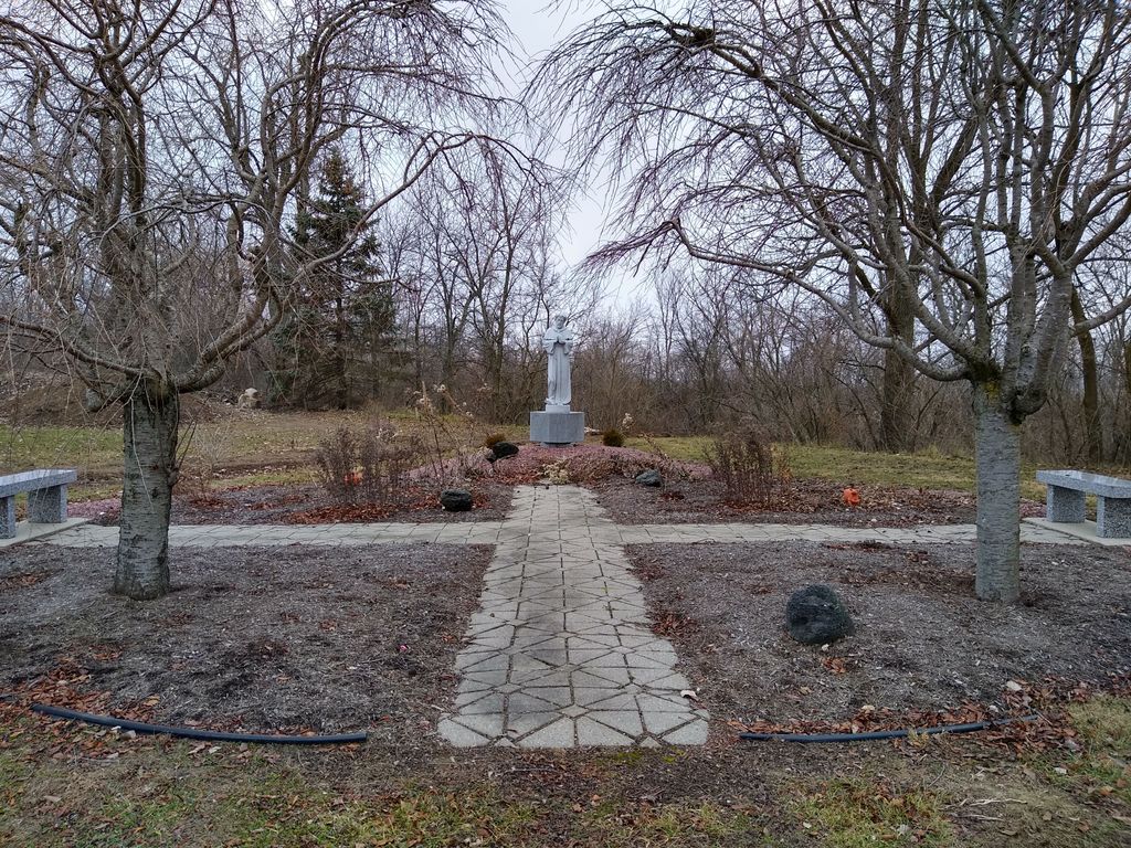
| Description | : | The cemetery is located on the south side of Defiance Pike (Ohio State Route 281) next to Jackson Cutoff Ditch about 0.5 miles west of its intersection with Milton Road (County Road 40). The cemetery is located in Milton Township, Wood County, Ohio, and is # 12880 (Saint Louis Catholic Cemetery / Saint Louis Cemetery) in “Ohio Cemeteries 1803-2003”, compiled by the Ohio Genealogical Society. The cemetery is registered with the Ohio Division of Real Estate and Professional Licensing (ODRE) as St. Louis Parish Cemetery with registration license number CBR.0000983262. The U.S. Geological Survey (USGS) Geographic Names Information... Read More |
frequently asked questions (FAQ):
-
Where is Saint Louis Cemetery?
Saint Louis Cemetery is located at Defiance Pike (Ohio State Route 281) Custar, Wood County ,Ohio , 43511USA.
-
Saint Louis Cemetery cemetery's updated grave count on graveviews.com?
0 memorials
-
Where are the coordinates of the Saint Louis Cemetery?
Latitude: 41.2839012
Longitude: -83.8332977
Nearby Cemetories:
1. Saint Louis Cemetery Old
Custar, Wood County, USA
Coordinate: 41.2854660, -83.8388800
2. Milton Township Cemetery
Custar, Wood County, USA
Coordinate: 41.2922700, -83.8416100
3. Richfield Cemetery
Henry County, USA
Coordinate: 41.2977982, -83.8985977
4. Angel Cemetery
Richfield Township, Henry County, USA
Coordinate: 41.3177986, -83.8902969
5. Pottertown Cemetery
Weston, Wood County, USA
Coordinate: 41.3499985, -83.8696976
6. New Weston Cemetery
Weston, Wood County, USA
Coordinate: 41.3575800, -83.7923300
7. Old Weston Cemetery
Weston, Wood County, USA
Coordinate: 41.3578700, -83.7905600
8. Wingston Cemetery
Weston, Wood County, USA
Coordinate: 41.2747002, -83.7256012
9. Saint John Lutheran Cemetery
Deshler, Henry County, USA
Coordinate: 41.2539600, -83.9411700
10. Woodlawn Cemetery
Deshler, Henry County, USA
Coordinate: 41.2261009, -83.9360962
11. Peace Evangelical Lutheran Church Cemetery
Deshler, Henry County, USA
Coordinate: 41.2547700, -83.9602200
12. Faylor Cemetery
Cygnet, Wood County, USA
Coordinate: 41.2332993, -83.7146988
13. Jackson Township Cemetery
Jackson Township, Wood County, USA
Coordinate: 41.1822700, -83.8660500
14. Beaver Creek Cemetery
Grand Rapids, Wood County, USA
Coordinate: 41.3883018, -83.8463974
15. Mercer Cemetery
Mermill, Wood County, USA
Coordinate: 41.3040860, -83.6770250
16. Hockman Cemetery
McClure, Henry County, USA
Coordinate: 41.3792240, -83.9333470
17. Bethel Cemetery
Rudolph, Wood County, USA
Coordinate: 41.3003300, -83.6685400
18. Showman Cemetery
Napoleon, Henry County, USA
Coordinate: 41.4101260, -83.8778690
19. North Cemetery
McClure, Henry County, USA
Coordinate: 41.3863983, -83.9411011
20. Howard Cemetery
Grand Rapids, Wood County, USA
Coordinate: 41.4128342, -83.8638992
21. Wood County Memory Gardens
Bowling Green, Wood County, USA
Coordinate: 41.3763800, -83.7083930
22. Sargent Cemetery
Rudolph, Wood County, USA
Coordinate: 41.3342018, -83.6643982
23. Plain Township Cemetery
Bowling Green, Wood County, USA
Coordinate: 41.3861600, -83.7104900
24. Grelton Cemetery
Grelton, Henry County, USA
Coordinate: 41.3474998, -84.0006027