
| Memorials | : | 1 |
| Location | : | Reagan, Henderson County, USA |
| Coordinate | : | 35.5248210, -88.4061200 |
| Description | : | From the intersection of Center Hill Loop & TN-22 N, 8 mi. south of Lexington, travel west on Cedar Hill Loop for 0.7 mi., turning southwesterly onto Center Hill-Wright Rd., going 1.0 mi., turning southwest (right) onto Washburn Rd., going 0.5 on this gravel road, to the area of the cemetery on the east (left), as shown on the property map. However, on TopoZone's topo map it is indicated to be about 100 yd. further down the road. |
frequently asked questions (FAQ):
-
Where is Beecham Family Cemetery?
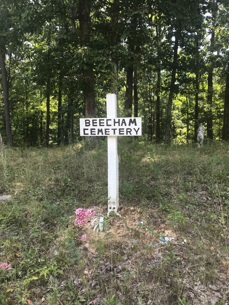
Beecham Family Cemetery is located at 965 Washburn Rd Reagan, Henderson County ,Tennessee , 38368USA.
-
Beecham Family Cemetery cemetery's updated grave count on graveviews.com?
1 memorials
-
Where are the coordinates of the Beecham Family Cemetery?
Latitude: 35.5248210
Longitude: -88.4061200
Nearby Cemetories:
1. Patterson Cemetery
Reagan, Henderson County, USA
Coordinate: 35.5110680, -88.4156360
2. Center Hill Holiness Church Cemetery
Lexington, Henderson County, USA
Coordinate: 35.5414280, -88.3987560
3. Patterson Cemetery
Reagan, Henderson County, USA
Coordinate: 35.5072000, -88.4108000
4. Preslar Cemetery
Henderson County, USA
Coordinate: 35.5167007, -88.3846970
5. Center Hill Cemetery
Henderson County, USA
Coordinate: 35.5407890, -88.3920830
6. Stone Hill Pentecostal Church Cemetery
Reagan, Henderson County, USA
Coordinate: 35.4931480, -88.4004280
7. Union Hill Church Cemetery
Reagan, Henderson County, USA
Coordinate: 35.4977250, -88.3826800
8. Dyer Chapel Cemetery
Reagan, Henderson County, USA
Coordinate: 35.5353810, -88.3626870
9. Shiloh Cemetery
Reagan, Henderson County, USA
Coordinate: 35.4876190, -88.4149490
10. Old Jacks Creek Church Cemetery
Huron, Henderson County, USA
Coordinate: 35.5254930, -88.4526830
11. Mount Moriah Cemetery
Henderson County, USA
Coordinate: 35.5222500, -88.3593700
12. Jordan Cemetery
Lexington, Henderson County, USA
Coordinate: 35.5551000, -88.4357000
13. Mount Zion Cemetery
Lexington, Henderson County, USA
Coordinate: 35.5623150, -88.4213170
14. Caraway Cemetery
Henderson County, USA
Coordinate: 35.5699997, -88.3996964
15. Grider Cemetery
Huron, Henderson County, USA
Coordinate: 35.5127480, -88.4705640
16. Barren Springs Cemetery
Reagan, Henderson County, USA
Coordinate: 35.5183310, -88.3400860
17. Ridley Chapel Cemetery
Reagan, Henderson County, USA
Coordinate: 35.5026110, -88.3454170
18. Mount Gilead Cemetery
Lexington, Henderson County, USA
Coordinate: 35.5521840, -88.3428930
19. Edge Cemetery
Reagan, Henderson County, USA
Coordinate: 35.4788830, -88.3620300
20. Old Big Springs Cemetery
Huron, Henderson County, USA
Coordinate: 35.5394520, -88.4762550
21. Criner Cemetery
Roby, Chester County, USA
Coordinate: 35.4662000, -88.4141000
22. Big Springs Cemetery
Henderson County, USA
Coordinate: 35.5456009, -88.4756012
23. Roby Cemetery
Chester County, USA
Coordinate: 35.4644012, -88.3983002
24. Laster Cemetery
Huron, Henderson County, USA
Coordinate: 35.5141770, -88.4801420