
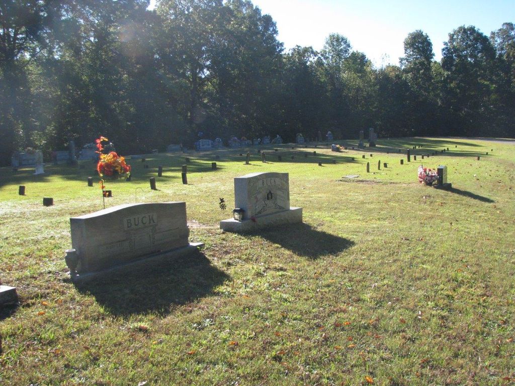
| Memorials | : | 21 |
| Location | : | Reagan, Henderson County, USA |
| Coordinate | : | 35.4977250, -88.3826800 |
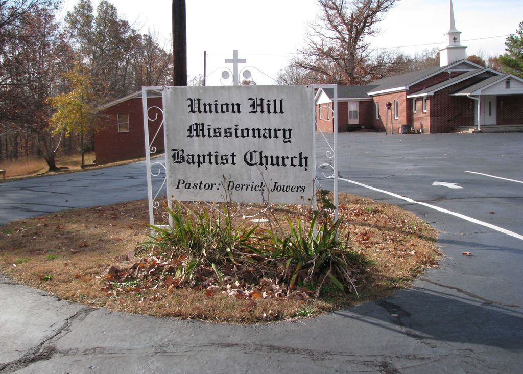
| Description | : | From the intersection of TN-100 & TN-22 S, south of Lexington, travel west on TN-100 for 0.1 mi., turning north (right) onto Union Hill Rd., going 0.3 mi., turning southwest (left) onto the Union Hill Church Rd. going 0.1 mi., turning south (left) into the parking lot of the Union Hill M.B. Church & following the driveway south to the cemetery behind the church. |
frequently asked questions (FAQ):
-
Where is Union Hill Church Cemetery?
Union Hill Church Cemetery is located at Union Hill Church Road Reagan, Henderson County ,Tennessee ,USA.
-
Union Hill Church Cemetery cemetery's updated grave count on graveviews.com?
17 memorials
-
Where are the coordinates of the Union Hill Church Cemetery?
Latitude: 35.4977250
Longitude: -88.3826800
Nearby Cemetories:
1. Stone Hill Pentecostal Church Cemetery
Reagan, Henderson County, USA
Coordinate: 35.4931480, -88.4004280
2. Preslar Cemetery
Henderson County, USA
Coordinate: 35.5167007, -88.3846970
3. Patterson Cemetery
Reagan, Henderson County, USA
Coordinate: 35.5072000, -88.4108000
4. Edge Cemetery
Reagan, Henderson County, USA
Coordinate: 35.4788830, -88.3620300
5. Shiloh Cemetery
Reagan, Henderson County, USA
Coordinate: 35.4876190, -88.4149490
6. Patterson Cemetery
Reagan, Henderson County, USA
Coordinate: 35.5110680, -88.4156360
7. Ridley Chapel Cemetery
Reagan, Henderson County, USA
Coordinate: 35.5026110, -88.3454170
8. Mount Moriah Cemetery
Henderson County, USA
Coordinate: 35.5222500, -88.3593700
9. Beecham Family Cemetery
Reagan, Henderson County, USA
Coordinate: 35.5248210, -88.4061200
10. Roby Cemetery
Chester County, USA
Coordinate: 35.4644012, -88.3983002
11. Barren Springs Cemetery
Reagan, Henderson County, USA
Coordinate: 35.5183310, -88.3400860
12. Criner Cemetery
Roby, Chester County, USA
Coordinate: 35.4662000, -88.4141000
13. Dyer Chapel Cemetery
Reagan, Henderson County, USA
Coordinate: 35.5353810, -88.3626870
14. Center Hill Cemetery
Henderson County, USA
Coordinate: 35.5407890, -88.3920830
15. Center Hill Holiness Church Cemetery
Lexington, Henderson County, USA
Coordinate: 35.5414280, -88.3987560
16. Marl Bluff Cemetery
Sardis, Henderson County, USA
Coordinate: 35.4570870, -88.3561740
17. Benson Cemetery
Chester County, USA
Coordinate: 35.4453011, -88.3685989
18. Stewart Cemetery
Chester County, USA
Coordinate: 35.4700012, -88.4417038
19. Little Hurricane Cemetery
Sardis, Henderson County, USA
Coordinate: 35.4605060, -88.3302360
20. Carroll Cemetery
Chester County, USA
Coordinate: 35.4477997, -88.4197006
21. Grove Springs Cemetery
Chester County, USA
Coordinate: 35.4413986, -88.4049988
22. Barton Cemetery
Roby, Chester County, USA
Coordinate: 35.4683342, -88.4483871
23. Mount Gilead Cemetery
Lexington, Henderson County, USA
Coordinate: 35.5521840, -88.3428930
24. Old Jacks Creek Church Cemetery
Huron, Henderson County, USA
Coordinate: 35.5254930, -88.4526830