
| Memorials | : | 0 |
| Location | : | Wageningen, Wageningen Municipality, Netherlands |
| Coordinate | : | 51.9849600, 5.6806900 |
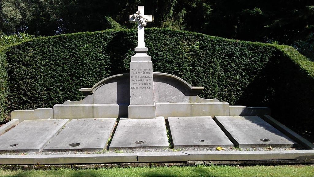
| Description | : | Wageningen is situated 18 kilometres west of Arnhem, on the secondary road to Utrecht. The cemetery lies 3 kilometres north of Wageningen, on the eastern side of the road to Ede. |
frequently asked questions (FAQ):
-
Where is Begraafplaats de Leeuwerenk?
Begraafplaats de Leeuwerenk is located at Oude Diedenweg 64 Wageningen, Wageningen Municipality ,Gelderland ,Netherlands.
-
Begraafplaats de Leeuwerenk cemetery's updated grave count on graveviews.com?
0 memorials
-
Where are the coordinates of the Begraafplaats de Leeuwerenk?
Latitude: 51.9849600
Longitude: 5.6806900
Nearby Cemetories:
1. Bennekom Algemene Begraafplaats
Bennekom, Ede Municipality, Netherlands
Coordinate: 51.9983500, 5.6775500
2. Joodse Begraafplaats
Wageningen Municipality, Netherlands
Coordinate: 51.9668606, 5.6695901
3. Onder de Bomen Cemetery
Renkum, Renkum Municipality, Netherlands
Coordinate: 51.9714500, 5.7205500
4. Renkum Roman Catholic Cemetery
Renkum, Renkum Municipality, Netherlands
Coordinate: 51.9752800, 5.7375200
5. Heteren General Cemetery
Heteren, Overbetuwe Municipality, Netherlands
Coordinate: 51.9530900, 5.7574100
6. Begraafplaats Vluchtheuvelkerk Protestant
Zetten, Overbetuwe Municipality, Netherlands
Coordinate: 51.9315860, 5.7141320
7. Militair Ereveld Grebbeberg
Rhenen, Rhenen Municipality, Netherlands
Coordinate: 51.9556300, 5.6004200
8. Paasberg Mausoleum
Ede, Ede Municipality, Netherlands
Coordinate: 52.0437800, 5.6786500
9. Opheusden General Cemetery
Opheusden, Neder-Betuwe Municipality, Netherlands
Coordinate: 51.9322600, 5.6339800
10. Rhenen General Cemetery
Rhenen, Rhenen Municipality, Netherlands
Coordinate: 51.9614700, 5.5752200
11. Joodse Begraafplaats
Rhenen Municipality, Netherlands
Coordinate: 51.9660400, 5.5721300
12. Dodewaard General Cemetery
Dodewaard, Neder-Betuwe Municipality, Netherlands
Coordinate: 51.9103800, 5.6538200
13. Doorwerth Roman Catholic Cemetery
Doorwerth, Renkum Municipality, Netherlands
Coordinate: 51.9783200, 5.8058900
14. Joodse Begraafplaats
Veenendaal Municipality, Netherlands
Coordinate: 52.0135700, 5.5543300
15. Driel Protestant Churchyard
Driel, Overbetuwe Municipality, Netherlands
Coordinate: 51.9619700, 5.8113700
16. Andelst Kerkhof
Andelst, Overbetuwe Municipality, Netherlands
Coordinate: 51.9057800, 5.7278200
17. De Munnikenhof Begraafplaats
Veenendaal, Veenendaal Municipality, Netherlands
Coordinate: 52.0339200, 5.5475300
18. Natuurbegraafplaats Heidepol
Arnhem, Arnhem Municipality, Netherlands
Coordinate: 52.0333784, 5.8232974
19. Oude Algemene Begraafplaats
Oosterbeek, Renkum Municipality, Netherlands
Coordinate: 51.9832100, 5.8434700
20. Arnhem War Cemetery
Oosterbeek, Renkum Municipality, Netherlands
Coordinate: 51.9931800, 5.8481900
21. Oosterbeek General Cemetery
Oosterbeek, Renkum Municipality, Netherlands
Coordinate: 51.9920100, 5.8490100
22. Lienden General Cemetery
Lienden, Buren Municipality, Netherlands
Coordinate: 51.9513900, 5.5209200
23. Elst General Cemetery
Elst, Rhenen Municipality, Netherlands
Coordinate: 51.9843400, 5.4978800
24. Slijk-Ewijk General Cemetery
Slijk-Ewijk, Overbetuwe Municipality, Netherlands
Coordinate: 51.8839100, 5.7854400