
| Memorials | : | 0 |
| Location | : | Opheusden, Neder-Betuwe Municipality, Netherlands |
| Coordinate | : | 51.9322600, 5.6339800 |
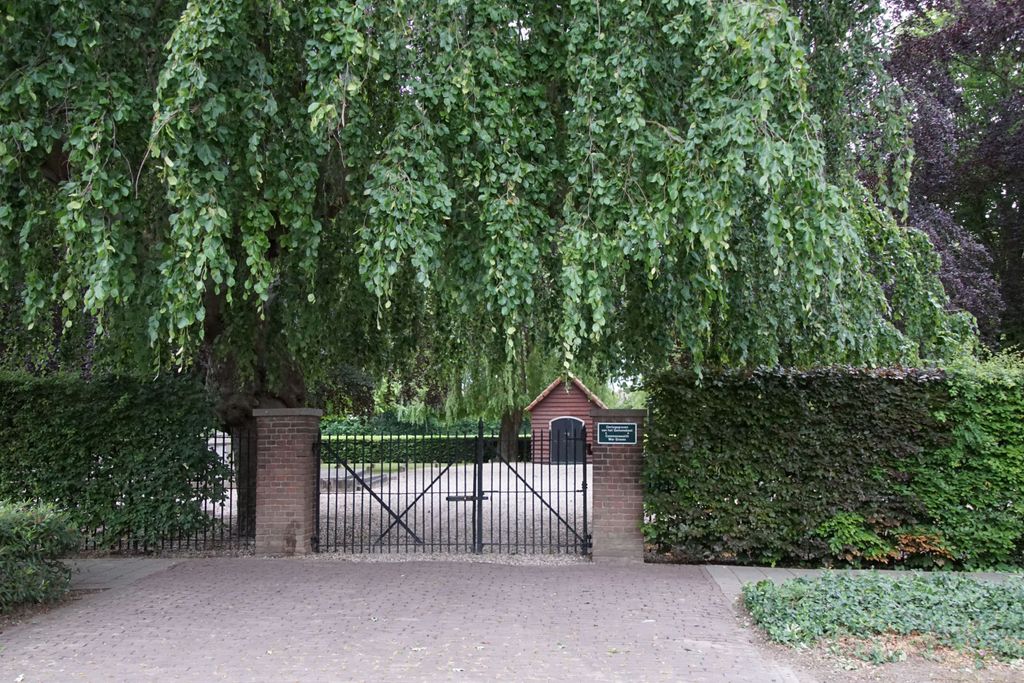
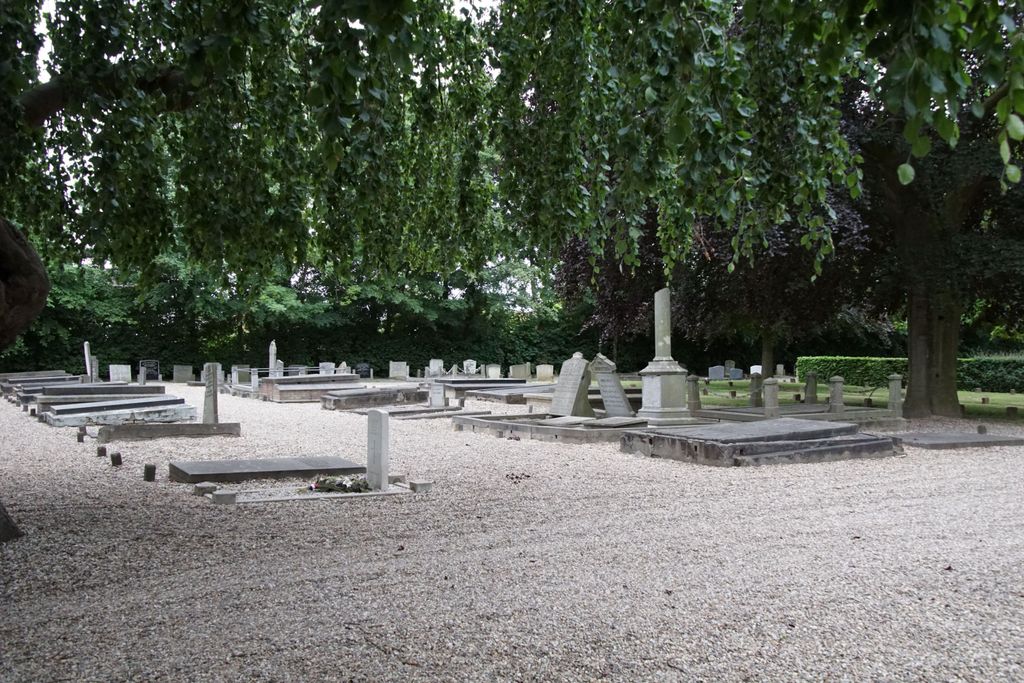
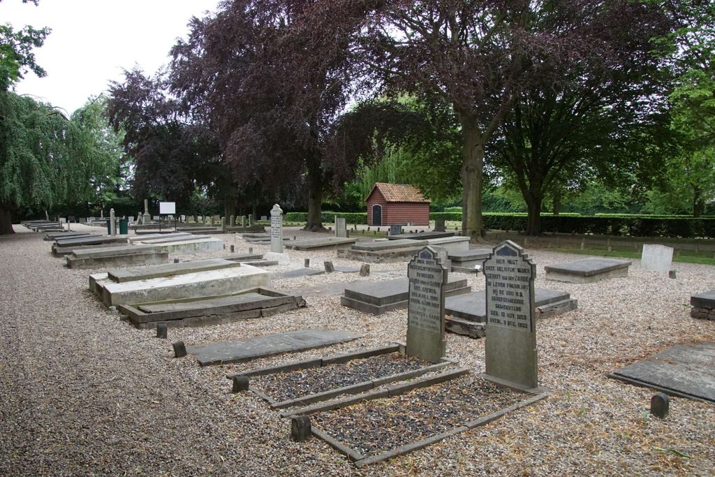
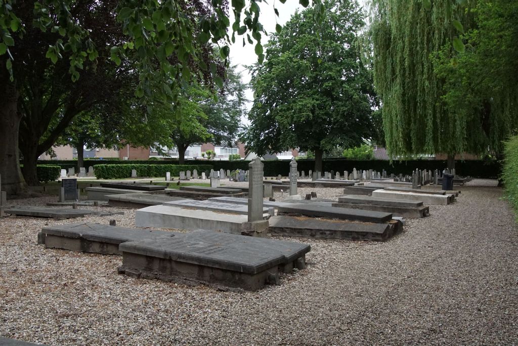
| Description | : | Kesteren is situated 24 kilometres west-south-west of Arnhem and 4 kilometres south of Rhinen, on the south side of the Neder Rhine. Odheusden, a village administered by Kesteren, is under 3 kilometres east of it. The cemetery is on the south-eastern outskirts of the village, on the western side of the road to Doodenaard. Two soldiers from the United Kingdom are buried in this cemetery, both unidentified, casaulties of World War Two. |
frequently asked questions (FAQ):
-
Where is Opheusden General Cemetery?
Opheusden General Cemetery is located at Opheusden, Neder-Betuwe Municipality ,Gelderland ,Netherlands.
-
Opheusden General Cemetery cemetery's updated grave count on graveviews.com?
0 memorials
-
Where are the coordinates of the Opheusden General Cemetery?
Latitude: 51.9322600
Longitude: 5.6339800

Nearby Cemetories:
1. Dodewaard General Cemetery
Dodewaard, Neder-Betuwe Municipality, Netherlands
Coordinate: 51.9103800, 5.6538200
2. Militair Ereveld Grebbeberg
Rhenen, Rhenen Municipality, Netherlands
Coordinate: 51.9556300, 5.6004200
3. Joodse Begraafplaats
Wageningen Municipality, Netherlands
Coordinate: 51.9668606, 5.6695901
4. Rhenen General Cemetery
Rhenen, Rhenen Municipality, Netherlands
Coordinate: 51.9614700, 5.5752200
5. Begraafplaats Vluchtheuvelkerk Protestant
Zetten, Overbetuwe Municipality, Netherlands
Coordinate: 51.9315860, 5.7141320
6. Joodse Begraafplaats
Rhenen Municipality, Netherlands
Coordinate: 51.9660400, 5.5721300
7. Begraafplaats de Leeuwerenk
Wageningen, Wageningen Municipality, Netherlands
Coordinate: 51.9849600, 5.6806900
8. Puiflijk Roman Catholic Cemetery
Puiflijk, Druten Municipality, Netherlands
Coordinate: 51.8788800, 5.5890700
9. Andelst Kerkhof
Andelst, Overbetuwe Municipality, Netherlands
Coordinate: 51.9057800, 5.7278200
10. Onder de Bomen Cemetery
Renkum, Renkum Municipality, Netherlands
Coordinate: 51.9714500, 5.7205500
11. Bennekom Algemene Begraafplaats
Bennekom, Ede Municipality, Netherlands
Coordinate: 51.9983500, 5.6775500
12. Lienden General Cemetery
Lienden, Buren Municipality, Netherlands
Coordinate: 51.9513900, 5.5209200
13. Renkum Roman Catholic Cemetery
Renkum, Renkum Municipality, Netherlands
Coordinate: 51.9752800, 5.7375200
14. Heteren General Cemetery
Heteren, Overbetuwe Municipality, Netherlands
Coordinate: 51.9530900, 5.7574100
15. Bergharen Protestant Churchyard
Bergharen, Wijchen Municipality, Netherlands
Coordinate: 51.8480900, 5.6642300
16. Joodse Begraafplaats
Veenendaal Municipality, Netherlands
Coordinate: 52.0135700, 5.5543300
17. Elst General Cemetery
Elst, Rhenen Municipality, Netherlands
Coordinate: 51.9843400, 5.4978800
18. Slijk-Ewijk General Cemetery
Slijk-Ewijk, Overbetuwe Municipality, Netherlands
Coordinate: 51.8839100, 5.7854400
19. Batenburg Roman Catholic Cemetery
Batenburg, Wijchen Municipality, Netherlands
Coordinate: 51.8244800, 5.6324800
20. Driel Protestant Churchyard
Driel, Overbetuwe Municipality, Netherlands
Coordinate: 51.9619700, 5.8113700
21. Haaghove
Beuningen, Beuningen Municipality, Netherlands
Coordinate: 51.8666649, 5.7850499
22. De Munnikenhof Begraafplaats
Veenendaal, Veenendaal Municipality, Netherlands
Coordinate: 52.0339200, 5.5475300
23. Paasberg Mausoleum
Ede, Ede Municipality, Netherlands
Coordinate: 52.0437800, 5.6786500
24. Doorwerth Roman Catholic Cemetery
Doorwerth, Renkum Municipality, Netherlands
Coordinate: 51.9783200, 5.8058900