
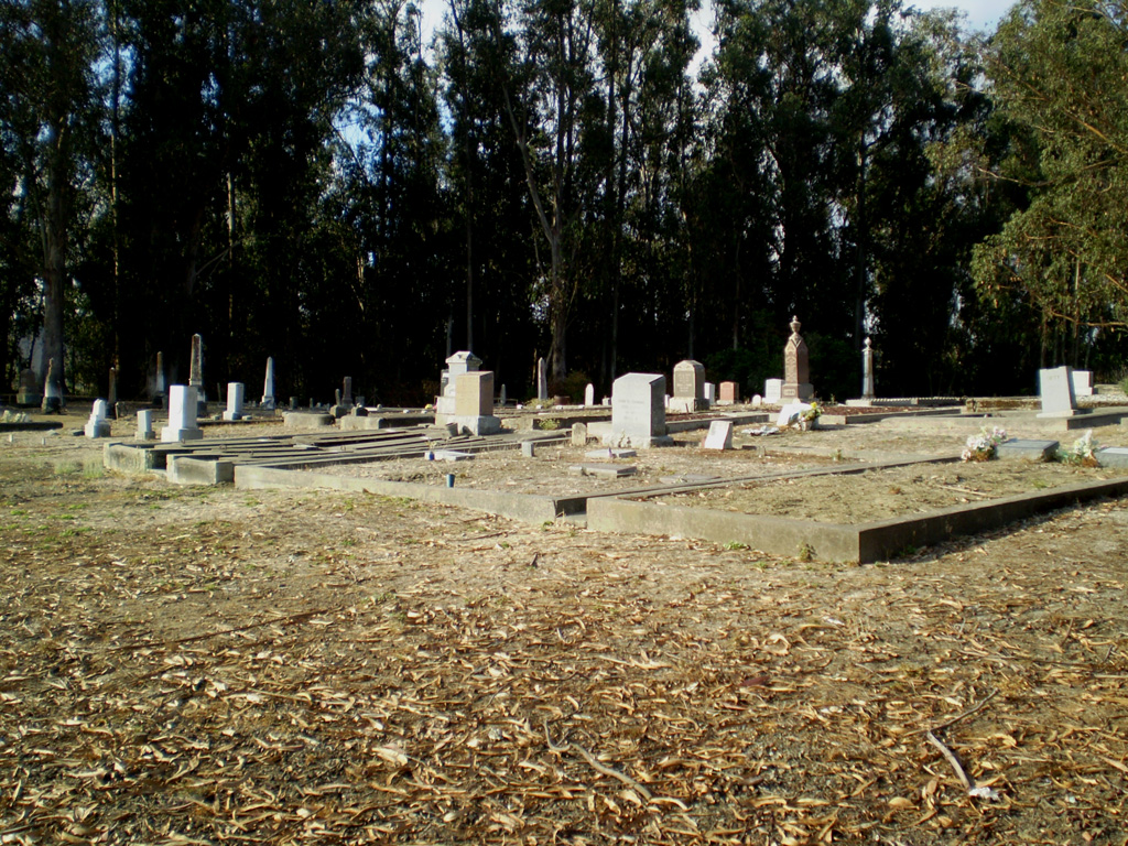
| Memorials | : | 0 |
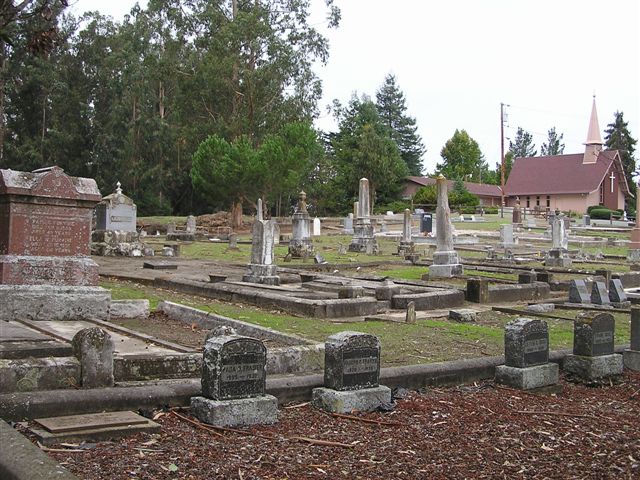
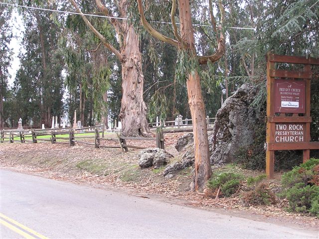
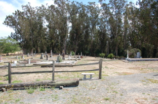
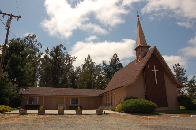
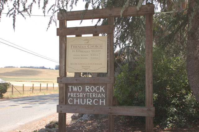
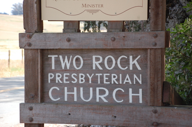
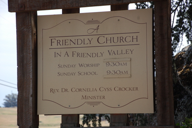
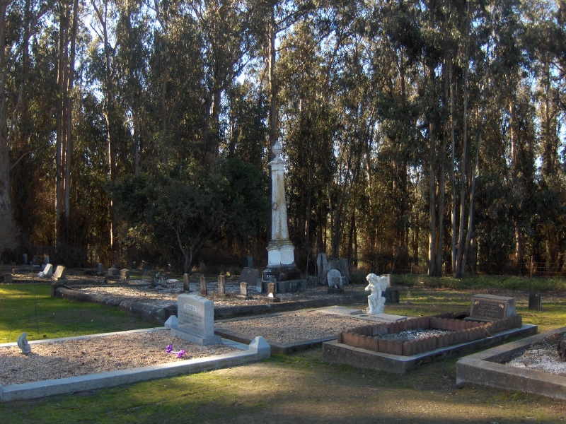
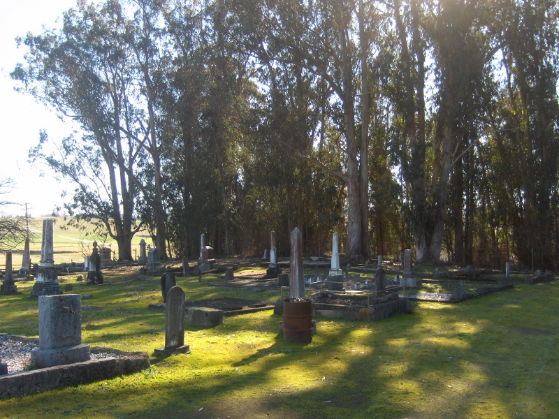
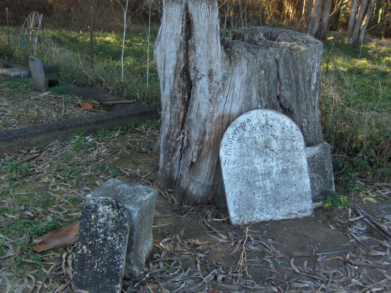
| Location | : | Two Rock, Sonoma County, USA |
| Coordinate | : | 38.2570000, -122.7795029 |
| Description | : | Highway 101 north to Petaluma. Take the Penngrove exit west. Turn right on Stoney Point Road. At next stop light turn left on Pepper Road. Approx. 6 miles go right onto Bodega Avenue. One-half mile up church and cemetery are on the left side on Spring Hill Road (at the intersection of Bodega Avenue and Spring Hill Road). |
frequently asked questions (FAQ):
-
Where is Two Rock Presbyterian Church Cemetery?
Two Rock Presbyterian Church Cemetery is located at Spring Hill Road Two Rock, Sonoma County ,California ,USA.
-
Two Rock Presbyterian Church Cemetery cemetery's updated grave count on graveviews.com?
0 memorials
-
Where are the coordinates of the Two Rock Presbyterian Church Cemetery?
Latitude: 38.2570000
Longitude: -122.7795029
Nearby Cemetories:
1. Liberty Cemetery
Petaluma, Sonoma County, USA
Coordinate: 38.2781990, -122.7055500
2. Bloomfield Cemetery
Bloomfield, Sonoma County, USA
Coordinate: 38.3135986, -122.8583984
3. Canfield Cemetery
Sebastopol, Sonoma County, USA
Coordinate: 38.3512430, -122.8147040
4. Tomales Presbyterian Cemetery
Tomales, Marin County, USA
Coordinate: 38.2455215, -122.9075089
5. My Pets Cemetery
Petaluma, Sonoma County, USA
Coordinate: 38.2472000, -122.6506000
6. Cypress Hill Memorial Park
Petaluma, Sonoma County, USA
Coordinate: 38.2472000, -122.6505966
7. Macedonia Methodist Episcopal Church Cemetery
Sebastopol, Sonoma County, USA
Coordinate: 38.3594860, -122.7727270
8. Calvary Catholic Cemetery
Petaluma, Sonoma County, USA
Coordinate: 38.2449000, -122.6493400
9. Oak Hill Cemetery
Petaluma, Sonoma County, USA
Coordinate: 38.2365130, -122.6509010
10. B'nai Israel Cemetery
Petaluma, Sonoma County, USA
Coordinate: 38.2454700, -122.6490000
11. Tomales Catholic Cemetery
Tomales, Marin County, USA
Coordinate: 38.2482300, -122.9142500
12. Pleasant Hills Memorial Park and Mortuary
Sebastopol, Sonoma County, USA
Coordinate: 38.3792000, -122.8350983
13. Miwok Cemetery
Reynolds, Marin County, USA
Coordinate: 38.1491420, -122.8852400
14. Sebastopol Memorial Lawn Cemetery
Sebastopol, Sonoma County, USA
Coordinate: 38.3981018, -122.8366013
15. General Vallejo Ranch Cemetery
Sonoma, Sonoma County, USA
Coordinate: 38.2554500, -122.5845200
16. Spring Hill Cemetery
Sebastopol, Sonoma County, USA
Coordinate: 38.3968010, -122.8637009
17. Jasper O'Farrell Ranch Cemetery
Freestone, Sonoma County, USA
Coordinate: 38.3758300, -122.9090300
18. Chapel of the Chimes Cemetery and Mausoleum
Santa Rosa, Sonoma County, USA
Coordinate: 38.4141998, -122.7137985
19. Saint Columbas Church Cemetery
Inverness, Marin County, USA
Coordinate: 38.0998250, -122.8576210
20. Calvary Cemetery
Bodega, Sonoma County, USA
Coordinate: 38.3414993, -122.9749985
21. Saint Theresa of Avila Church Cemetery
Bodega, Sonoma County, USA
Coordinate: 38.3461342, -122.9723663
22. Bennett Valley Cemetery
Santa Rosa, Sonoma County, USA
Coordinate: 38.4161987, -122.6619034
23. Luther Burbank Memorial Home and Gardens Cemetery
Santa Rosa, Sonoma County, USA
Coordinate: 38.4355810, -122.7118050
24. Calvary Catholic Cemetery
Santa Rosa, Sonoma County, USA
Coordinate: 38.4314003, -122.6847000