| Memorials | : | 0 |
| Location | : | Reynolds, Marin County, USA |
| Coordinate | : | 38.1491420, -122.8852400 |
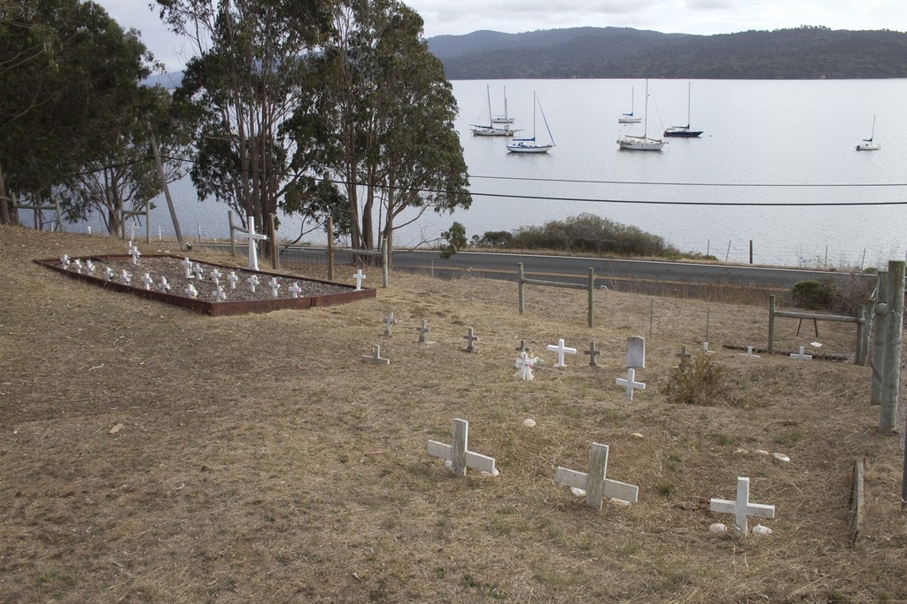
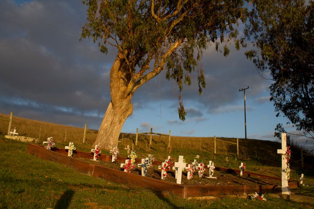
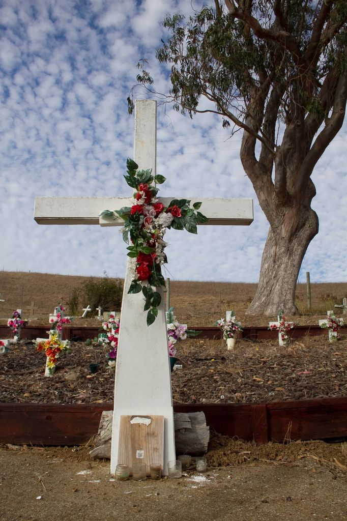
| Description | : | Tomales Bay is a long narrow inlet of the Pacific Ocean in west Marin County. This modest cemetery is located on the east side of Tomales Bay, just north of Reynolds and south of Marshall. Across the water to the west is bucolic Point Reyes National Seashore. The Coast Miwok Indians were inhabitants of Marin for thousands of years. There was an abundance of fish and shellfish with game and seasonal foods being plentiful. The hunter-gatherer tribe thrived off the bounty of the land until the Europeans arrived. By the early 1930s, only three individuals predominantly Coast Miwok in... Read More |
frequently asked questions (FAQ):
-
Where is Miwok Cemetery?
Miwok Cemetery is located at 19172 Highway One Reynolds, Marin County ,California , 94940USA.
-
Miwok Cemetery cemetery's updated grave count on graveviews.com?
0 memorials
-
Where are the coordinates of the Miwok Cemetery?
Latitude: 38.1491420
Longitude: -122.8852400
Nearby Cemetories:
1. Saint Columbas Church Cemetery
Inverness, Marin County, USA
Coordinate: 38.0998250, -122.8576210
2. Historic Life-Saving Service and G Ranch Cemetery
Point Reyes Station, Marin County, USA
Coordinate: 38.0933000, -122.9311300
3. Tomales Presbyterian Cemetery
Tomales, Marin County, USA
Coordinate: 38.2455215, -122.9075089
4. Tomales Catholic Cemetery
Tomales, Marin County, USA
Coordinate: 38.2482300, -122.9142500
5. Two Rock Presbyterian Church Cemetery
Two Rock, Sonoma County, USA
Coordinate: 38.2570000, -122.7795029
6. Olema Cemetery
Olema, Marin County, USA
Coordinate: 38.0313988, -122.7789001
7. Bloomfield Cemetery
Bloomfield, Sonoma County, USA
Coordinate: 38.3135986, -122.8583984
8. Taylor Cemetery
Lagunitas, Marin County, USA
Coordinate: 38.0272580, -122.7346590
9. Liberty Cemetery
Petaluma, Sonoma County, USA
Coordinate: 38.2781990, -122.7055500
10. Bodega Bay Cemetery
Bodega Bay, Sonoma County, USA
Coordinate: 38.3172740, -123.0257990
11. Oak Hill Cemetery
Petaluma, Sonoma County, USA
Coordinate: 38.2365130, -122.6509010
12. Calvary Cemetery
Bodega, Sonoma County, USA
Coordinate: 38.3414993, -122.9749985
13. Saint Theresa of Avila Church Cemetery
Bodega, Sonoma County, USA
Coordinate: 38.3461342, -122.9723663
14. Calvary Catholic Cemetery
Petaluma, Sonoma County, USA
Coordinate: 38.2449000, -122.6493400
15. My Pets Cemetery
Petaluma, Sonoma County, USA
Coordinate: 38.2472000, -122.6506000
16. Cypress Hill Memorial Park
Petaluma, Sonoma County, USA
Coordinate: 38.2472000, -122.6505966
17. B'nai Israel Cemetery
Petaluma, Sonoma County, USA
Coordinate: 38.2454700, -122.6490000
18. Canfield Cemetery
Sebastopol, Sonoma County, USA
Coordinate: 38.3512430, -122.8147040
19. Jasper O'Farrell Ranch Cemetery
Freestone, Sonoma County, USA
Coordinate: 38.3758300, -122.9090300
20. Macedonia Methodist Episcopal Church Cemetery
Sebastopol, Sonoma County, USA
Coordinate: 38.3594860, -122.7727270
21. Pleasant Hills Memorial Park and Mortuary
Sebastopol, Sonoma County, USA
Coordinate: 38.3792000, -122.8350983
22. Pioneer Memorial Cemetery
Novato, Marin County, USA
Coordinate: 38.1132532, -122.5902599
23. Spring Hill Cemetery
Sebastopol, Sonoma County, USA
Coordinate: 38.3968010, -122.8637009
24. Sebastopol Memorial Lawn Cemetery
Sebastopol, Sonoma County, USA
Coordinate: 38.3981018, -122.8366013


