| Memorials | : | 1 |
| Location | : | Caledonia, Racine County, USA |
| Coordinate | : | 42.7987700, -87.8474700 |
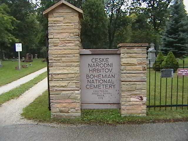
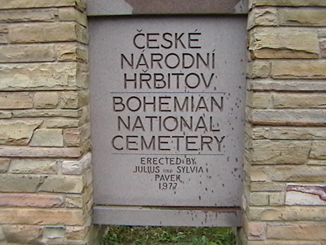
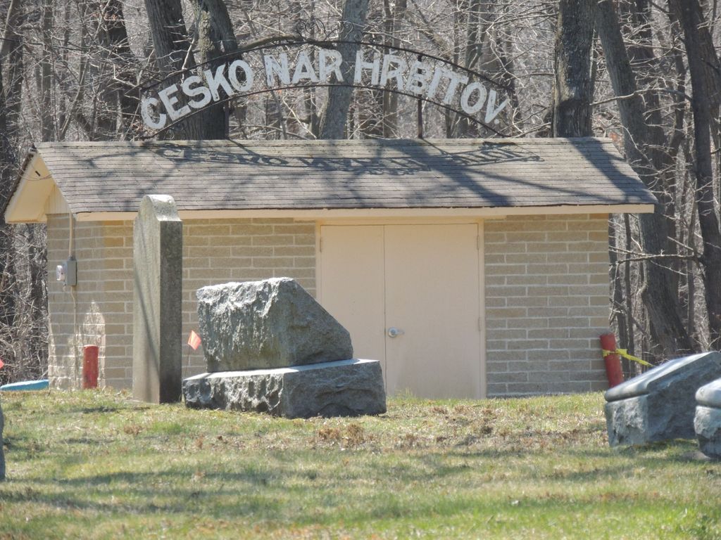
| Description | : | Bohemian National Cemetery was established by the local Bohemian community in 1877. It is bordered on the west by Country Haven Cemetery. |
frequently asked questions (FAQ):
-
Where is Bohemian National Cemetery?
Bohemian National Cemetery is located at 5 Mile Road Caledonia, Racine County ,Wisconsin , 53402USA.
-
Bohemian National Cemetery cemetery's updated grave count on graveviews.com?
1 memorials
-
Where are the coordinates of the Bohemian National Cemetery?
Latitude: 42.7987700
Longitude: -87.8474700
Nearby Cemetories:
1. Country Haven Cemetery
Caledonia, Racine County, USA
Coordinate: 42.7987010, -87.8487160
2. Holy Family Catholic Cemetery
Caledonia, Racine County, USA
Coordinate: 42.8011017, -87.8364029
3. Holy Cross Catholic Cemetery
Caledonia, Racine County, USA
Coordinate: 42.7919006, -87.8186035
4. Caledonia Memorial Park
Caledonia, Racine County, USA
Coordinate: 42.8072014, -87.8955994
5. Trinity Evangelical Lutheran Cemetery
Caledonia, Racine County, USA
Coordinate: 42.8283653, -87.8954620
6. Historic Evangelical Lutheran Emanuel Cemetery
Oak Creek, Milwaukee County, USA
Coordinate: 42.8462400, -87.8542500
7. Pet Valhalla Cemetery
Franksville, Racine County, USA
Coordinate: 42.7545440, -87.9083540
8. Saint Louis Cemetery
Caledonia, Racine County, USA
Coordinate: 42.8082600, -87.9476100
9. Saint Nikola Serbian Orthodox Cemetery
Caledonia, Racine County, USA
Coordinate: 42.8336900, -87.9371800
10. Racine Jewish Memorial Cemetery
Racine, Racine County, USA
Coordinate: 42.7254900, -87.8276000
11. Graceland Cemetery
Racine, Racine County, USA
Coordinate: 42.7263700, -87.8220000
12. Calvary Catholic Cemetery & Mausoleum
Racine, Racine County, USA
Coordinate: 42.7263985, -87.8143997
13. Saint Matthews Cemetery
Oak Creek, Milwaukee County, USA
Coordinate: 42.8750000, -87.8638992
14. Holy Cross Catholic Cemetery
Racine, Racine County, USA
Coordinate: 42.7242012, -87.8163986
15. Oakwood Rest Cemetery
Oak Creek, Milwaukee County, USA
Coordinate: 42.8579500, -87.9178900
16. Mound Cemetery
Racine, Racine County, USA
Coordinate: 42.7206001, -87.8131027
17. West Lawn Memorial Park
Mount Pleasant, Racine County, USA
Coordinate: 42.7235985, -87.8972015
18. Saint Lukes Episcopal Church Columbarium
Racine, Racine County, USA
Coordinate: 42.7262800, -87.7829500
19. Independent Cemetery
Oak Creek, Milwaukee County, USA
Coordinate: 42.8581009, -87.9483032
20. Saint Johns Cemetery
Oak Creek, Milwaukee County, USA
Coordinate: 42.8569641, -87.9499359
21. Forest Hill Memorial Park
Oak Creek, Milwaukee County, USA
Coordinate: 42.8930016, -87.8698502
22. East Meadows Cemetery
Racine, Racine County, USA
Coordinate: 42.6975020, -87.8407900
23. Collegiate Church of Saint John Chapel Grounds
Racine, Racine County, USA
Coordinate: 42.7054860, -87.7861730
24. Parker Family Cemetery
Sturtevant, Racine County, USA
Coordinate: 42.6973000, -87.8848400


