
| Memorials | : | 0 |
| Location | : | Racine, Racine County, USA |
| Coordinate | : | 42.6975020, -87.8407900 |
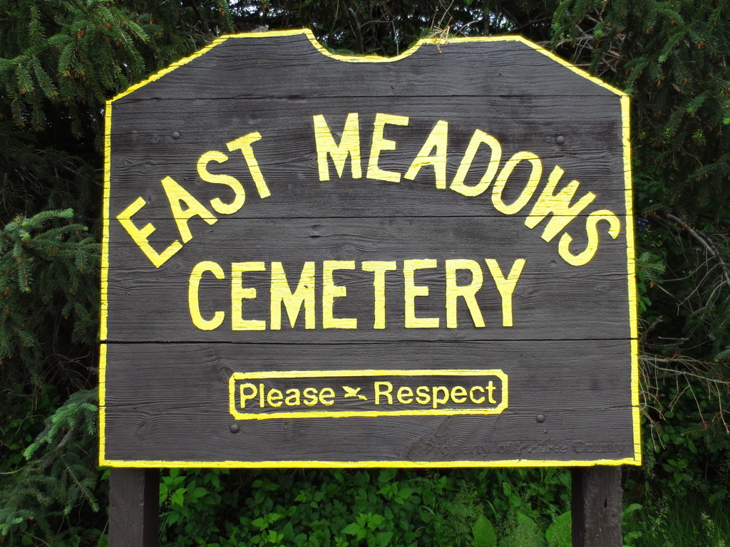
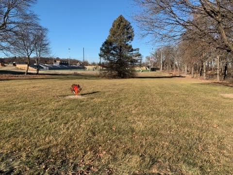
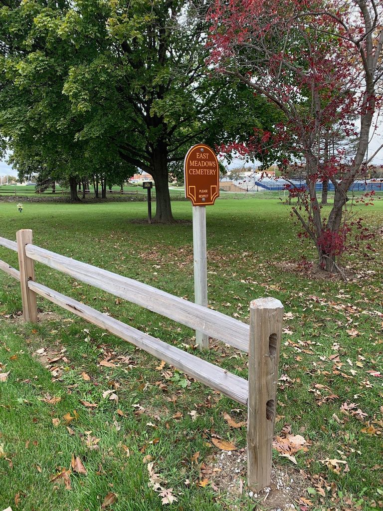
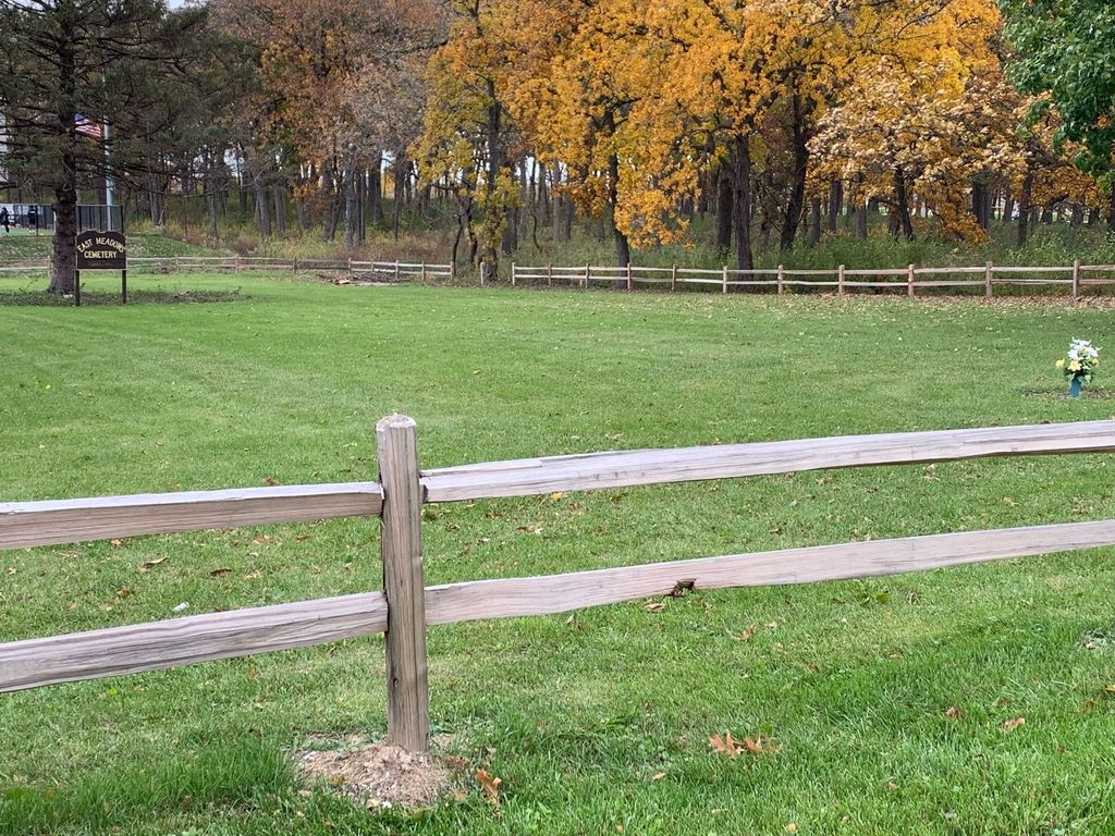
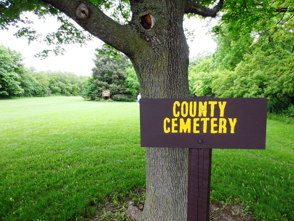
| Description | : | East Meadows Cemetery, located in the southwest corner of Pritchard Park at the intersection of Ohio Street and Durand Avenue/Wisconsin Highway 11, is one of two pauper's cemeteries in Racine County. The other is West Meadows Cemetery in Rochester. This cemetery was a burial place for those who could not afford burial elsewhere, as well those who were unclaimed by their families. It is owned and maintained by the county. There are no markers. In July 1971, about 40 bodies were moved to West Meadows Cemetery from East Meadows Cemetery due to the expansion of Durand Avenue. |
frequently asked questions (FAQ):
-
Where is East Meadows Cemetery?
East Meadows Cemetery is located at 2800 Ohio Street Racine, Racine County ,Wisconsin , 53406USA.
-
East Meadows Cemetery cemetery's updated grave count on graveviews.com?
0 memorials
-
Where are the coordinates of the East Meadows Cemetery?
Latitude: 42.6975020
Longitude: -87.8407900
Nearby Cemetories:
1. Racine Jewish Memorial Cemetery
Racine, Racine County, USA
Coordinate: 42.7254900, -87.8276000
2. Mound Cemetery
Racine, Racine County, USA
Coordinate: 42.7206001, -87.8131027
3. Graceland Cemetery
Racine, Racine County, USA
Coordinate: 42.7263700, -87.8220000
4. Holy Cross Catholic Cemetery
Racine, Racine County, USA
Coordinate: 42.7242012, -87.8163986
5. Parker Family Cemetery
Sturtevant, Racine County, USA
Coordinate: 42.6973000, -87.8848400
6. Calvary Catholic Cemetery & Mausoleum
Racine, Racine County, USA
Coordinate: 42.7263985, -87.8143997
7. Collegiate Church of Saint John Chapel Grounds
Racine, Racine County, USA
Coordinate: 42.7054860, -87.7861730
8. West Lawn Memorial Park
Mount Pleasant, Racine County, USA
Coordinate: 42.7235985, -87.8972015
9. Saint Lukes Episcopal Church Columbarium
Racine, Racine County, USA
Coordinate: 42.7262800, -87.7829500
10. Oakwood Cemetery
Somers, Kenosha County, USA
Coordinate: 42.6394005, -87.8743973
11. B'nai Zedek Cemetery
Kenosha, Kenosha County, USA
Coordinate: 42.6255188, -87.8248978
12. Pet Valhalla Cemetery
Franksville, Racine County, USA
Coordinate: 42.7545440, -87.9083540
13. Saint George Cemetery
Kenosha, Kenosha County, USA
Coordinate: 42.6147003, -87.8238983
14. Sylvania Cemetery
Sylvania, Racine County, USA
Coordinate: 42.6819600, -87.9538400
15. Saint Casimir Cemetery
Kenosha, Kenosha County, USA
Coordinate: 42.6060982, -87.8641968
16. Holy Cross Catholic Cemetery
Caledonia, Racine County, USA
Coordinate: 42.7919006, -87.8186035
17. Colonel Howe Estate Cemetery
Kenosha, Kenosha County, USA
Coordinate: 42.6015010, -87.8222180
18. Country Haven Cemetery
Caledonia, Racine County, USA
Coordinate: 42.7987010, -87.8487160
19. Bohemian National Cemetery
Caledonia, Racine County, USA
Coordinate: 42.7987700, -87.8474700
20. Sunset Ridge Memorial Park
Kenosha, Kenosha County, USA
Coordinate: 42.6007996, -87.8833008
21. Holy Family Catholic Cemetery
Caledonia, Racine County, USA
Coordinate: 42.8011017, -87.8364029
22. Paris Lutheran Cemetery
Paris, Kenosha County, USA
Coordinate: 42.6549350, -87.9805540
23. Saint Matthews Episcopal Church Columbarium
Kenosha, Kenosha County, USA
Coordinate: 42.5819290, -87.8215848
24. Caledonia Memorial Park
Caledonia, Racine County, USA
Coordinate: 42.8072014, -87.8955994