
| Memorials | : | 0 |
| Location | : | Roanoke, Randolph County, USA |
| Coordinate | : | 33.1481018, -85.3610992 |
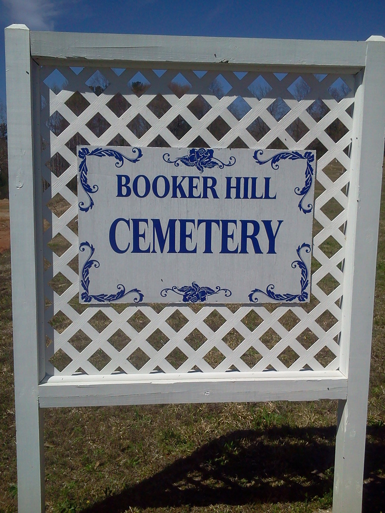
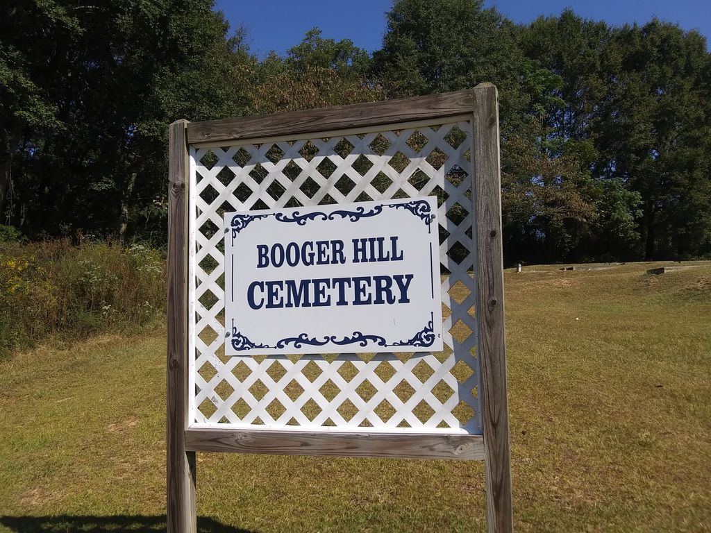
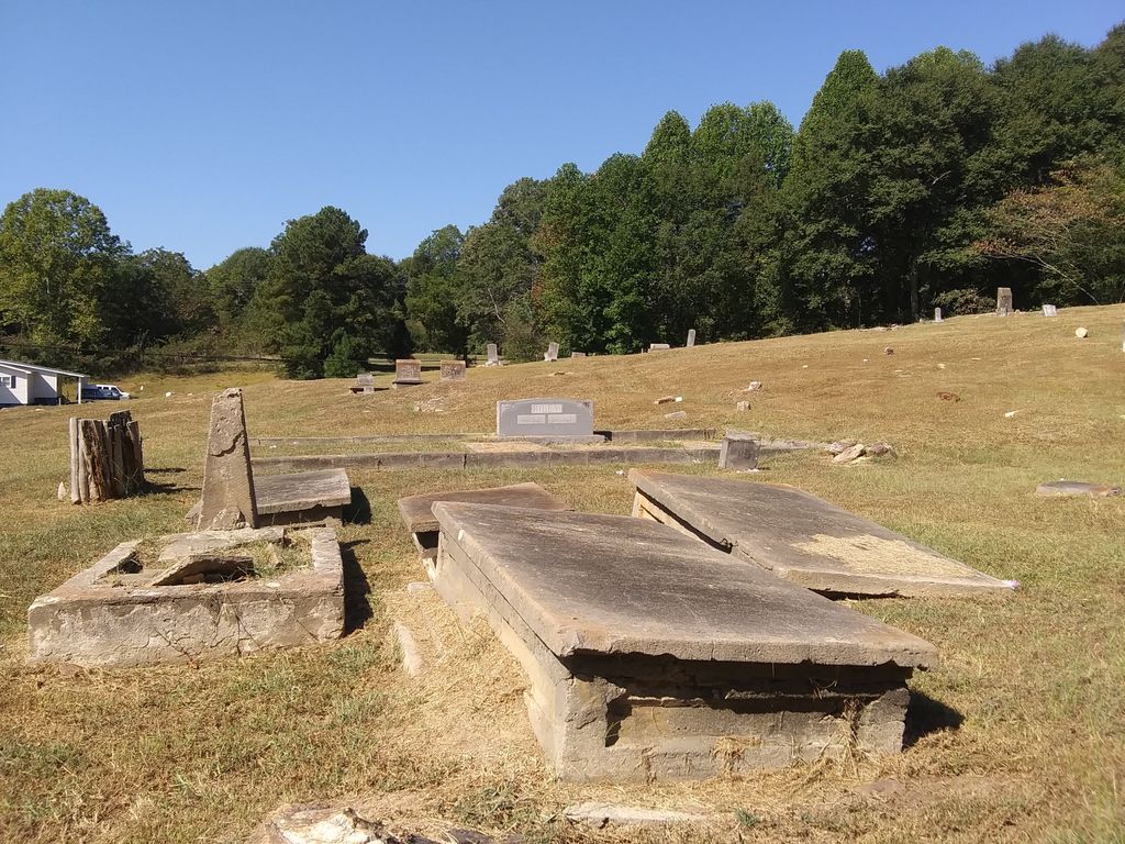
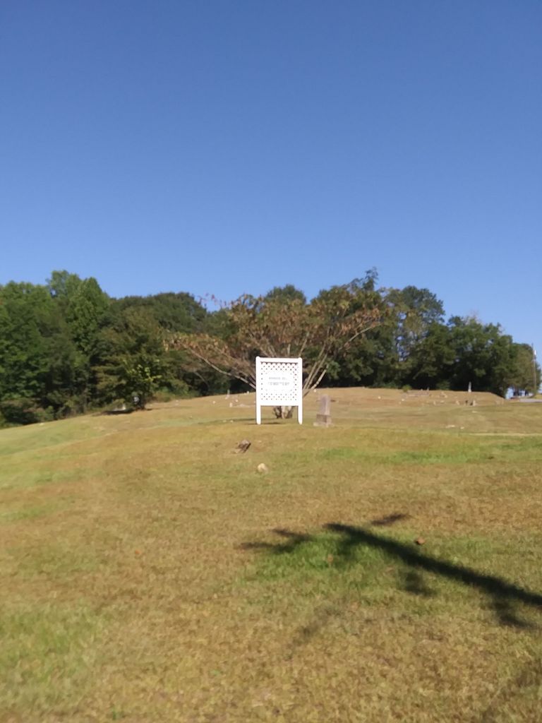
| Description | : | âPBooger HillâP was the original name of thiscemetery. Several years ago, maintenanceof the cemetery was turned over to the City of Roanoke. In order to do away with the rather âPundignifiedâPname âPBooger HillâP, the city changed the name to âPBooker HillâP. The community never accepted this change, anda few years later, petitioned the city to restore the historically accuratename of âPBooger HillâPc. |
frequently asked questions (FAQ):
-
Where is Booger Hill Cemetery?
Booger Hill Cemetery is located at Roanoke, Randolph County ,Alabama ,USA.
-
Booger Hill Cemetery cemetery's updated grave count on graveviews.com?
0 memorials
-
Where are the coordinates of the Booger Hill Cemetery?
Latitude: 33.1481018
Longitude: -85.3610992
Nearby Cemetories:
1. East Roanoke Cemetery
Roanoke, Randolph County, USA
Coordinate: 33.1432991, -85.3644028
2. Cedarwood Cemetery
Roanoke, Randolph County, USA
Coordinate: 33.1519012, -85.3681030
3. Roanoke Baptist Church Cemetery
Roanoke, Randolph County, USA
Coordinate: 33.1506600, -85.3730260
4. Mount Pisgah Baptist Church Cemetery
Roanoke, Randolph County, USA
Coordinate: 33.1592510, -85.3901760
5. Macedonia Cemetery
Roanoke, Randolph County, USA
Coordinate: 33.1802040, -85.3505050
6. Center Chapel Baptist Church Cemetery
Randolph County, USA
Coordinate: 33.1735460, -85.3333320
7. Lanes Chapel Methodist Church Cemetery
Roanoke, Randolph County, USA
Coordinate: 33.1129210, -85.3645760
8. Peace and Goodwill Baptist Church Cemetery
Randolph County, USA
Coordinate: 33.1240270, -85.3954800
9. Mount Bethel United Methodist Church Cemetery
Roanoke, Randolph County, USA
Coordinate: 33.1281290, -85.3992600
10. Randolph Memory Gardens
Rock Mills, Randolph County, USA
Coordinate: 33.1535988, -85.3107986
11. Lebanon Christian Church Cemetery
Springfield, Randolph County, USA
Coordinate: 33.1897400, -85.3500700
12. Old Salem Primitive Baptist Cemetery
Bacon Level, Randolph County, USA
Coordinate: 33.1375200, -85.3103400
13. Rock Mills Missionary Baptist Church Cemetery
Randolph County, USA
Coordinate: 33.1570530, -85.3077420
14. Union Hill Baptist Church Cemetery
Roanoke, Randolph County, USA
Coordinate: 33.1893010, -85.4031770
15. Mount Zion Christian Church Cemetery
Randolph County, USA
Coordinate: 33.1361850, -85.4246100
16. Zion's Rest Primitive Baptist Church Cemetery
Roanoke, Randolph County, USA
Coordinate: 33.2024250, -85.3797090
17. Antioch Christian Church Cemetery
Doublehead, Chambers County, USA
Coordinate: 33.0963330, -85.3916360
18. Forest Home Christian Church Cemetery
Springfield, Randolph County, USA
Coordinate: 33.1927400, -85.3155500
19. Pike Family Cemetery
Randolph County, USA
Coordinate: 33.1960270, -85.3199710
20. Bethel Baptist Church Cemetery
Chambers County, USA
Coordinate: 33.0872002, -85.3463974
21. Fellowship Baptist Church Cemetery
Bacon Level, Randolph County, USA
Coordinate: 33.1270650, -85.2868900
22. Rock Mills Cemetery
Rock Mills, Randolph County, USA
Coordinate: 33.1644300, -85.2848000
23. Wehadkee Primitive Baptist Church Cemetery
Rock Mills, Randolph County, USA
Coordinate: 33.1694120, -85.2806240
24. Littlefield Cemetery
Stroud, Chambers County, USA
Coordinate: 33.0853930, -85.3176780