
| Memorials | : | 0 |
| Location | : | Roanoke, Randolph County, USA |
| Coordinate | : | 33.1129210, -85.3645760 |
frequently asked questions (FAQ):
-
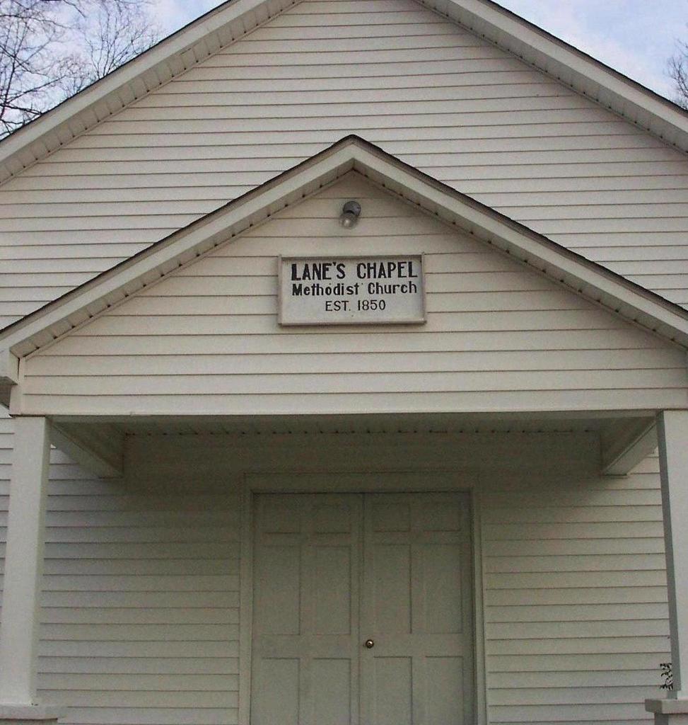
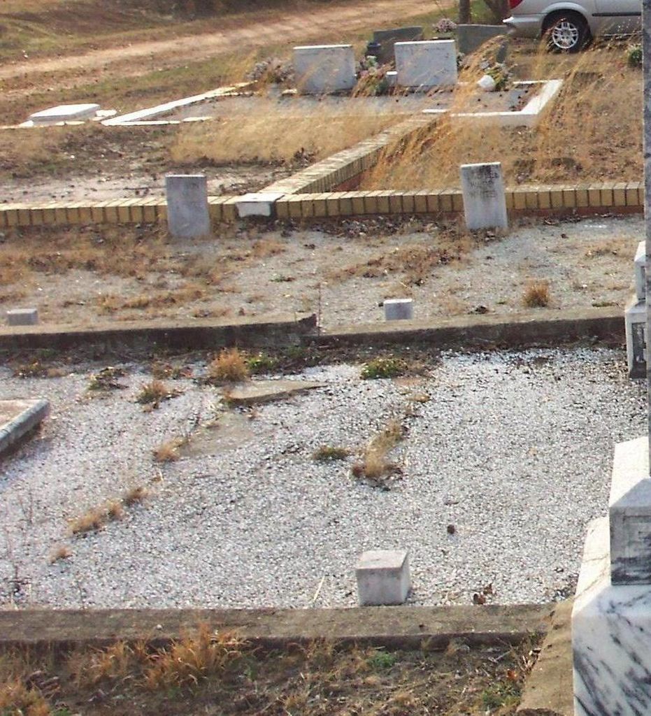
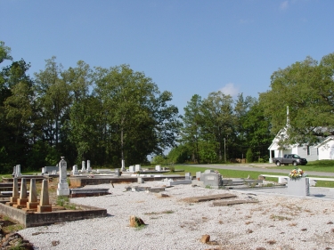
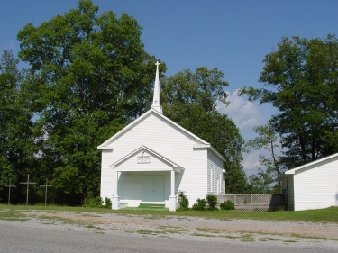
Where is Lanes Chapel Methodist Church Cemetery?
Lanes Chapel Methodist Church Cemetery is located at Roanoke, Randolph County ,Alabama ,USA.
-
Lanes Chapel Methodist Church Cemetery cemetery's updated grave count on graveviews.com?
0 memorials
-
Where are the coordinates of the Lanes Chapel Methodist Church Cemetery?
Latitude: 33.1129210
Longitude: -85.3645760
Nearby Cemetories:
1. Antioch Christian Church Cemetery
Doublehead, Chambers County, USA
Coordinate: 33.0963330, -85.3916360
2. Peace and Goodwill Baptist Church Cemetery
Randolph County, USA
Coordinate: 33.1240270, -85.3954800
3. Bethel Baptist Church Cemetery
Chambers County, USA
Coordinate: 33.0872002, -85.3463974
4. East Roanoke Cemetery
Roanoke, Randolph County, USA
Coordinate: 33.1432991, -85.3644028
5. Mount Bethel United Methodist Church Cemetery
Roanoke, Randolph County, USA
Coordinate: 33.1281290, -85.3992600
6. Booger Hill Cemetery
Roanoke, Randolph County, USA
Coordinate: 33.1481018, -85.3610992
7. Roanoke Baptist Church Cemetery
Roanoke, Randolph County, USA
Coordinate: 33.1506600, -85.3730260
8. Cedarwood Cemetery
Roanoke, Randolph County, USA
Coordinate: 33.1519012, -85.3681030
9. Skyview Memorial Garden
Five Points, Chambers County, USA
Coordinate: 33.0731010, -85.3368988
10. Littlefield Cemetery
Stroud, Chambers County, USA
Coordinate: 33.0853930, -85.3176780
11. Mount Pisgah Baptist Church Cemetery
Roanoke, Randolph County, USA
Coordinate: 33.1592510, -85.3901760
12. Old Salem Primitive Baptist Cemetery
Bacon Level, Randolph County, USA
Coordinate: 33.1375200, -85.3103400
13. Mount Pisgah Primitive Baptist Cemetery
Stroud, Chambers County, USA
Coordinate: 33.0661011, -85.3337021
14. Mount Zion Christian Church Cemetery
Randolph County, USA
Coordinate: 33.1361850, -85.4246100
15. Stephens Family Cemetery
Stroud, Chambers County, USA
Coordinate: 33.0767600, -85.3129300
16. Sanders Cemetery
Chambers County, USA
Coordinate: 33.0558014, -85.3771973
17. Randolph Memory Gardens
Rock Mills, Randolph County, USA
Coordinate: 33.1535988, -85.3107986
18. Pleasant Hill Baptist Church Cemetery
Milltown, Chambers County, USA
Coordinate: 33.0865070, -85.4332090
19. Rehope Baptist Church Cemetery
Chambers County, USA
Coordinate: 33.0573690, -85.4029200
20. Rock Mills Missionary Baptist Church Cemetery
Randolph County, USA
Coordinate: 33.1570530, -85.3077420
21. Center Chapel Baptist Church Cemetery
Randolph County, USA
Coordinate: 33.1735460, -85.3333320
22. Fellowship Baptist Church Cemetery
Bacon Level, Randolph County, USA
Coordinate: 33.1270650, -85.2868900
23. High Pine Baptist Church Cemetery
Roanoke, Randolph County, USA
Coordinate: 33.1243210, -85.4435370
24. Macedonia Cemetery
Roanoke, Randolph County, USA
Coordinate: 33.1802040, -85.3505050