
| Memorials | : | 20 |
| Location | : | Coshocton, Coshocton County, USA |
| Coordinate | : | 40.2396610, -81.9840410 |
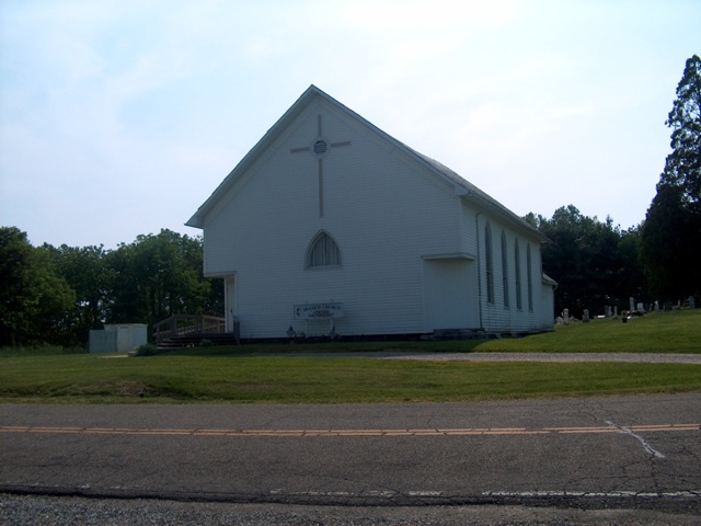
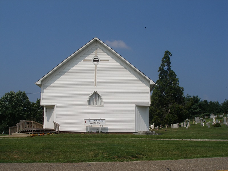
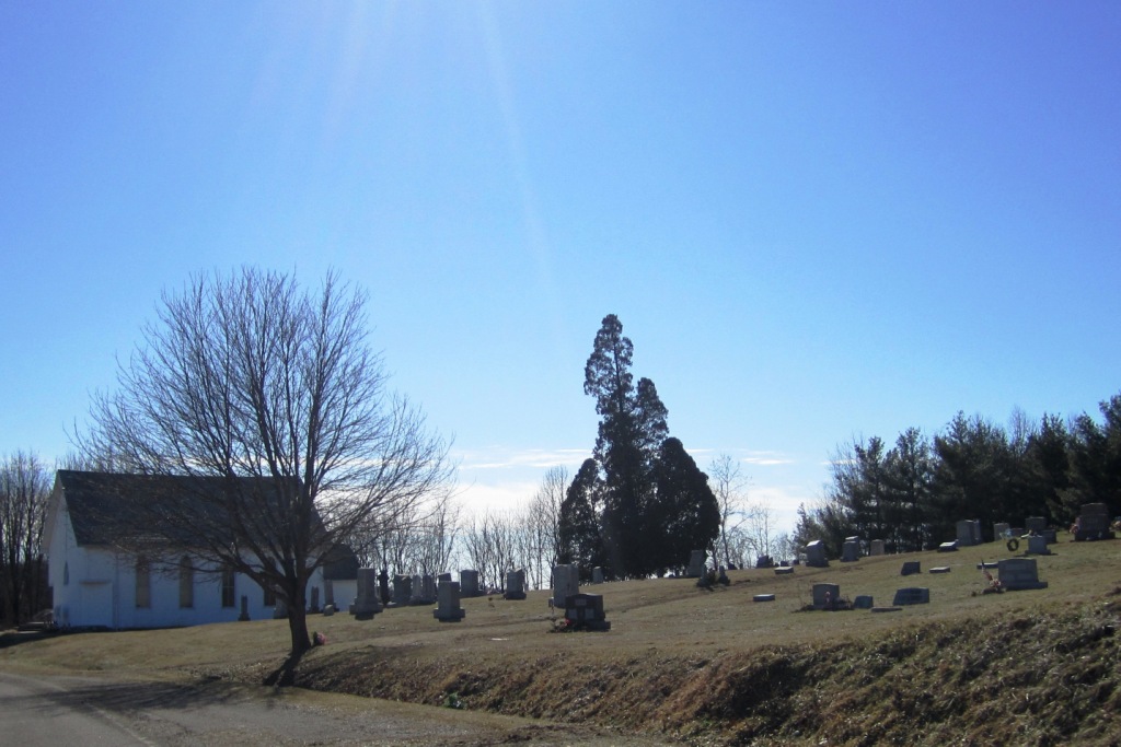
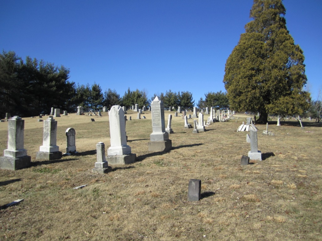
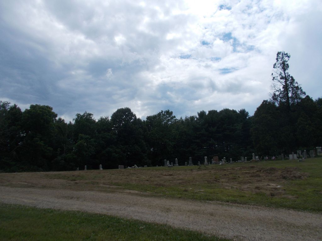
| Description | : | The cemetery is located on the west side of County Road 4 about 750 feet north of its intersection with Township Road 403. The cemetery is located in Jackson Township, Coshocton County, Ohio, and is # 2244 (Branch Church Methodist Episcopal Cemetery) in “Ohio Cemeteries 1803-2003”, compiled by the Ohio Genealogical Society. The U.S. Geological Survey (USGS) Geographic Names Information System (GNIS) feature ID for the cemetery is 1964100 (Branch Methodist Episcopal Cemetery). |
frequently asked questions (FAQ):
-
Where is Branch Methodist Church Cemetery?
Branch Methodist Church Cemetery is located at County Road 4 Coshocton, Coshocton County ,Ohio , 43812USA.
-
Branch Methodist Church Cemetery cemetery's updated grave count on graveviews.com?
20 memorials
-
Where are the coordinates of the Branch Methodist Church Cemetery?
Latitude: 40.2396610
Longitude: -81.9840410
Nearby Cemetories:
1. Smith-McCoy Cemetery
Roscoe, Coshocton County, USA
Coordinate: 40.2508450, -81.9642690
2. McCurdy Family Cemetery
Tunnel Hill, Coshocton County, USA
Coordinate: 40.2508370, -82.0165580
3. Pleasant Hill Baptist Cemetery
Coshocton, Coshocton County, USA
Coordinate: 40.2547380, -81.9496810
4. Foster-Lowary-McCullough Cemetery
Coshocton County, USA
Coordinate: 40.2708400, -81.9761450
5. Slaughter Cemetery
New Moscow, Coshocton County, USA
Coordinate: 40.2138990, -81.9462800
6. Milfork Baptist Church Cemetery
New Moscow, Coshocton County, USA
Coordinate: 40.2083080, -81.9540880
7. Presbyterian Church Cemetery
Wakatomika, Coshocton County, USA
Coordinate: 40.2052690, -82.0204030
8. Christian Chapel Cemetery
Coshocton County, USA
Coordinate: 40.2271470, -81.9263480
9. Union Cemetery
Tunnel Hill, Coshocton County, USA
Coordinate: 40.2400932, -82.0478745
10. Pepper Cemetery
Conesville, Coshocton County, USA
Coordinate: 40.1992870, -81.9336780
11. Warner Methodist Cemetery
Conesville, Coshocton County, USA
Coordinate: 40.2389520, -81.9109620
12. Cox Cemetery
Coshocton County, USA
Coordinate: 40.1883011, -81.9511032
13. James and William Thompson Cemetery
Wakatomika, Coshocton County, USA
Coordinate: 40.2094170, -82.0530280
14. Wakatomika Regular Baptist Cemetery
Wakatomika, Coshocton County, USA
Coordinate: 40.2013780, -82.0469260
15. Blooming Grove Cemetery
Randle, Coshocton County, USA
Coordinate: 40.3017006, -81.9843979
16. Chalfant Cemetery
Wakatomika, Coshocton County, USA
Coordinate: 40.1828499, -82.0181885
17. Antioch Cemetery
Coshocton County, USA
Coordinate: 40.3046989, -81.9933014
18. West Bedford Cemetery #2
Bedford Township, Coshocton County, USA
Coordinate: 40.2543110, -82.0736220
19. West Bedford Cemetery #1
Bedford Township, Coshocton County, USA
Coordinate: 40.2636000, -82.0739000
20. McGee Cemetery
Coshocton County, USA
Coordinate: 40.1638985, -81.9989014
21. Tyndall Cemetery
Coshocton County, USA
Coordinate: 40.2167015, -81.8843994
22. Davis Cemetery
Conesville, Coshocton County, USA
Coordinate: 40.2154312, -81.8808899
23. Jefferson Presbyterian Cemetery
Warsaw, Coshocton County, USA
Coordinate: 40.3200690, -82.0165291
24. Prairie Chapel Church Cemetery
Coshocton, Coshocton County, USA
Coordinate: 40.3049000, -81.9124000