
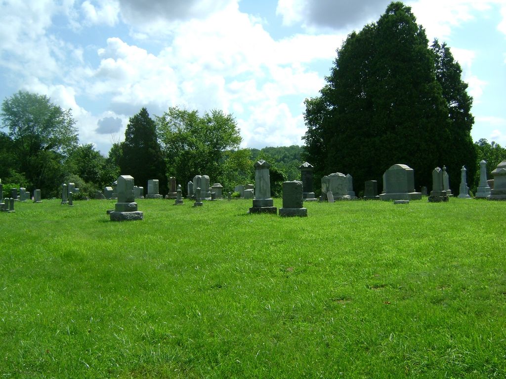
| Memorials | : | 218 |
| Location | : | New Moscow, Coshocton County, USA |
| Coordinate | : | 40.2083080, -81.9540880 |
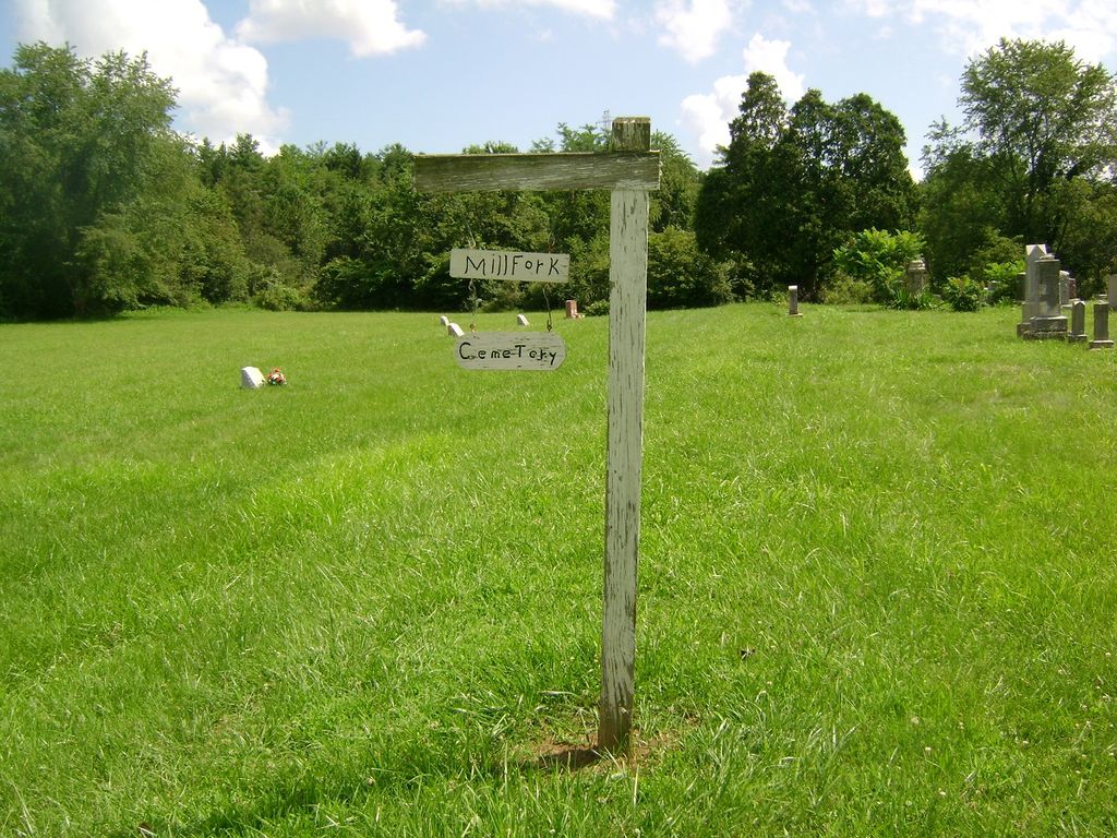
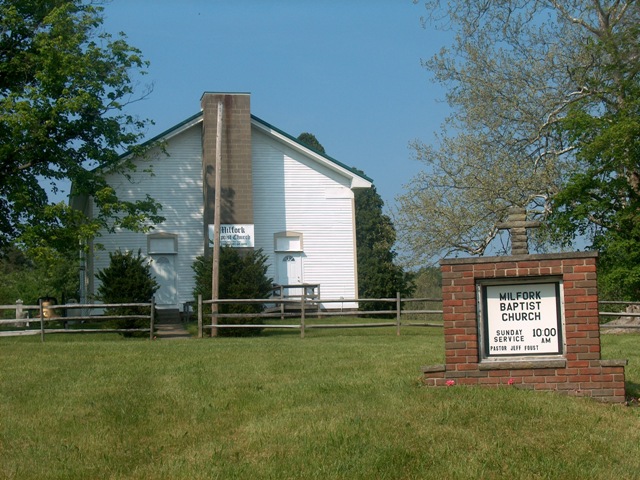
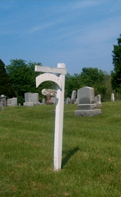
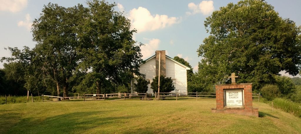
| Description | : | The cemetery is located on the north side of County Road 6 about 0.3 miles west of its intersection with County Road 286. The cemetery is located in Virginia Township, Coshocton County, Ohio, and is # 2380 (Millfork Baptist Cemetery) in “Ohio Cemeteries 1803-2003”, compiled by the Ohio Genealogical Society. The cemetery is registered with the Ohio Division of Real Estate and Professional Licensing (ODRE) as Milfork Church Cemetery with registration license number CRC.0000981532. The U.S. Geological Survey (USGS) Geographic Names Information System (GNIS) feature ID for the cemetery is 1964120 (Mill Fork Baptist Cemetery). |
frequently asked questions (FAQ):
-
Where is Milfork Baptist Church Cemetery?
Milfork Baptist Church Cemetery is located at County Road 6 New Moscow, Coshocton County ,Ohio , 43812USA.
-
Milfork Baptist Church Cemetery cemetery's updated grave count on graveviews.com?
218 memorials
-
Where are the coordinates of the Milfork Baptist Church Cemetery?
Latitude: 40.2083080
Longitude: -81.9540880
Nearby Cemetories:
1. Slaughter Cemetery
New Moscow, Coshocton County, USA
Coordinate: 40.2138990, -81.9462800
2. Pepper Cemetery
Conesville, Coshocton County, USA
Coordinate: 40.1992870, -81.9336780
3. Cox Cemetery
Coshocton County, USA
Coordinate: 40.1883011, -81.9511032
4. Christian Chapel Cemetery
Coshocton County, USA
Coordinate: 40.2271470, -81.9263480
5. Branch Methodist Church Cemetery
Coshocton, Coshocton County, USA
Coordinate: 40.2396610, -81.9840410
6. Smith-McCoy Cemetery
Roscoe, Coshocton County, USA
Coordinate: 40.2508450, -81.9642690
7. Warner Methodist Cemetery
Conesville, Coshocton County, USA
Coordinate: 40.2389520, -81.9109620
8. Pleasant Hill Baptist Cemetery
Coshocton, Coshocton County, USA
Coordinate: 40.2547380, -81.9496810
9. William Robinson Family Cemetery
Conesville, Coshocton County, USA
Coordinate: 40.1808014, -81.9008026
10. Adams Mills Cemetery
Adams Mills, Muskingum County, USA
Coordinate: 40.1582300, -81.9464430
11. Presbyterian Church Cemetery
Wakatomika, Coshocton County, USA
Coordinate: 40.2052690, -82.0204030
12. Tyndall Cemetery
Coshocton County, USA
Coordinate: 40.2167015, -81.8843994
13. Chalfant Cemetery
Wakatomika, Coshocton County, USA
Coordinate: 40.1828499, -82.0181885
14. McGee Cemetery
Coshocton County, USA
Coordinate: 40.1638985, -81.9989014
15. Davis Cemetery
Conesville, Coshocton County, USA
Coordinate: 40.2154312, -81.8808899
16. McCurdy Family Cemetery
Tunnel Hill, Coshocton County, USA
Coordinate: 40.2508370, -82.0165580
17. Foster-Lowary-McCullough Cemetery
Coshocton County, USA
Coordinate: 40.2708400, -81.9761450
18. Wakatomika Regular Baptist Cemetery
Wakatomika, Coshocton County, USA
Coordinate: 40.2013780, -82.0469260
19. James and William Thompson Cemetery
Wakatomika, Coshocton County, USA
Coordinate: 40.2094170, -82.0530280
20. Bethany Cemetery
Wills Creek, Coshocton County, USA
Coordinate: 40.1852989, -81.8591995
21. Cass Family Cemetery
Dresden, Muskingum County, USA
Coordinate: 40.1385400, -81.9973000
22. Union Cemetery
Tunnel Hill, Coshocton County, USA
Coordinate: 40.2400932, -82.0478745
23. Titus Cemetery
Adams Township, Muskingum County, USA
Coordinate: 40.1427994, -81.8955994
24. Franklin Cemetery
Franklin, Coshocton County, USA
Coordinate: 40.2000008, -81.8460999