| Memorials | : | 2 |
| Location | : | Paradise Valley, Maricopa County, USA |
| Coordinate | : | 33.5243900, -111.9328200 |
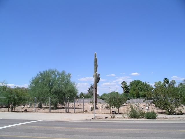
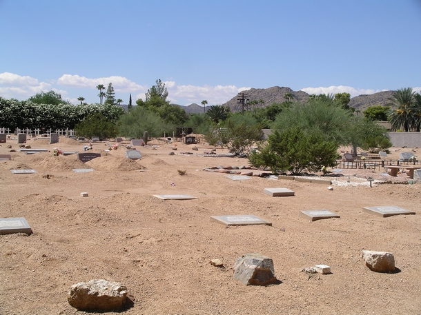
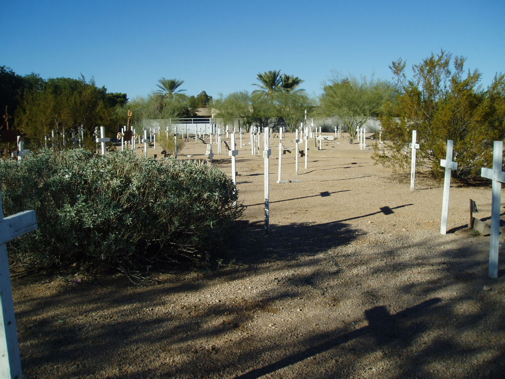
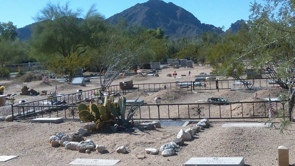
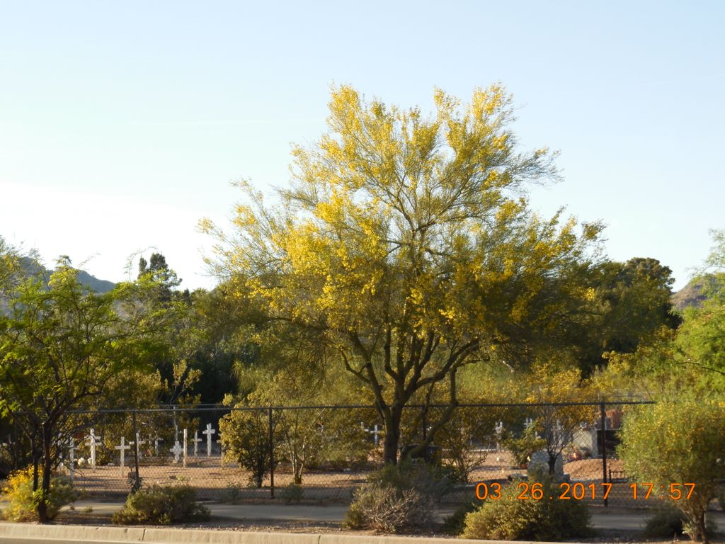
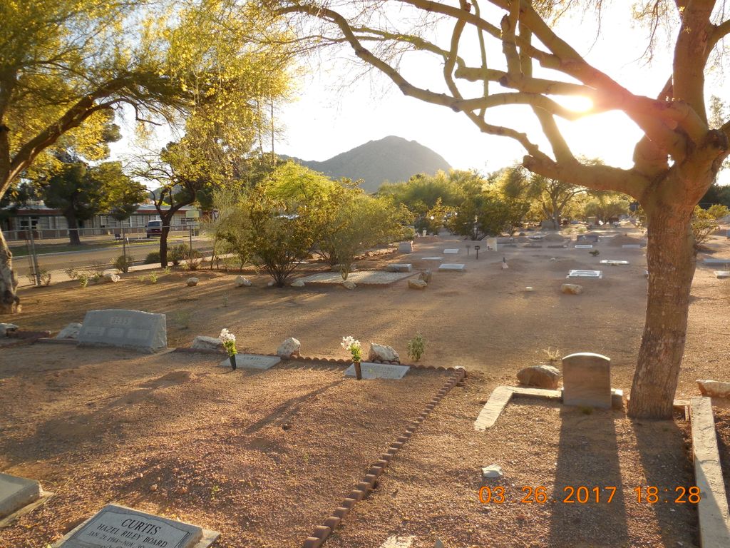
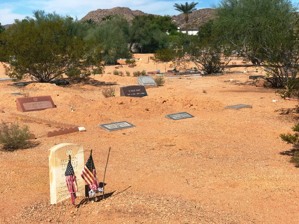
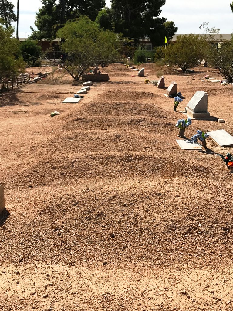
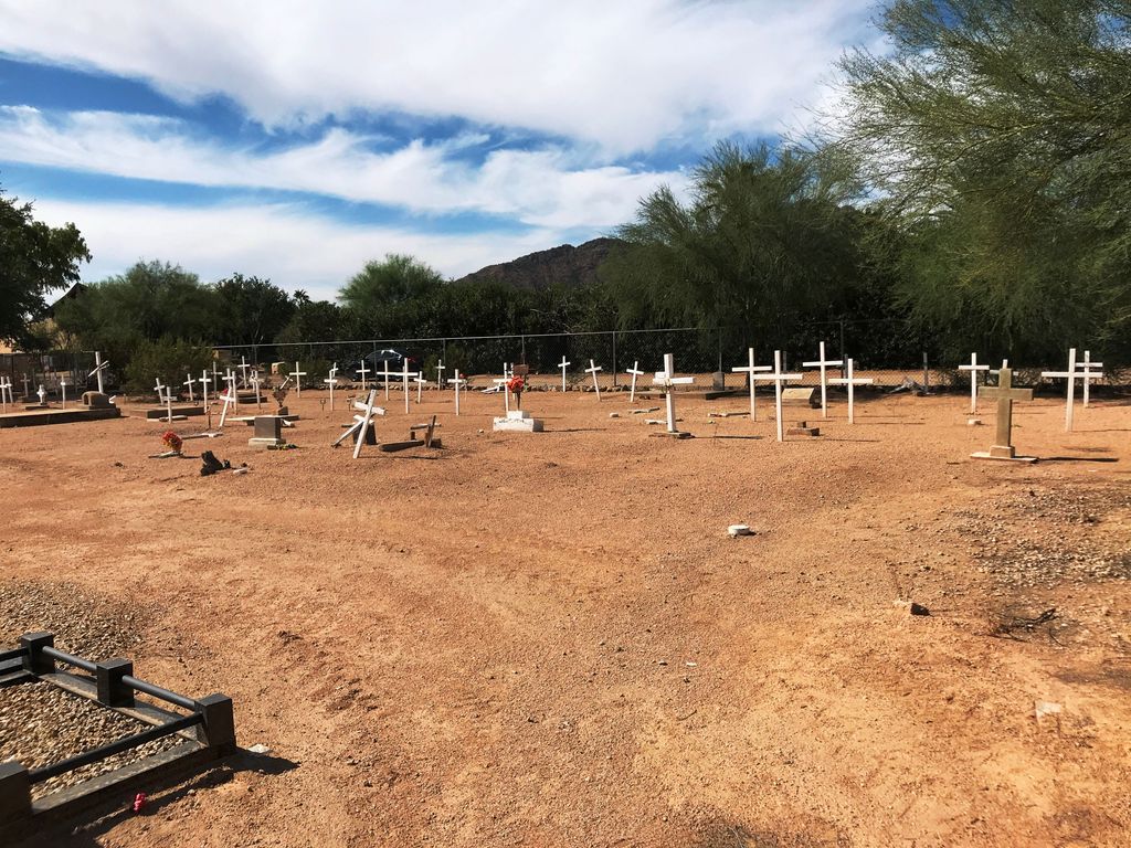
| Description | : | On McDonald Drive just 1/2 mile west of Scottsdale Road is the two acre fenced in Camelback Cemetery located in Paradise Valley. Aside from local residents, one third of the cemetery is set aside for Catholics who came from Mexico. The crude wooden crosses scattered at the rear of the cemetery identify these graves. The cemetery is the final resting place for many who died in the 1918 flu epidemic, Mexican-Catholics who had no other Catholic cemetery nearby, and military veterans. The entire cemetery is sand and there are many visible mounds where the deceased... Read More |
frequently asked questions (FAQ):
-
Where is Camelback Cemetery?
Camelback Cemetery is located at 6914 East McDonald Paradise Valley, Maricopa County ,Arizona ,USA.
-
Camelback Cemetery cemetery's updated grave count on graveviews.com?
2 memorials
-
Where are the coordinates of the Camelback Cemetery?
Latitude: 33.5243900
Longitude: -111.9328200
Nearby Cemetories:
1. Valley Presbyterian Church Memorial Garden
Paradise Valley, Maricopa County, USA
Coordinate: 33.5219000, -111.9311000
2. Saint Barnabas on the Desert Memorial Garden
Paradise Valley, Maricopa County, USA
Coordinate: 33.5358000, -111.9330000
3. Ascension Lutheran Church Memorial Garden
Paradise Valley, Maricopa County, USA
Coordinate: 33.5415180, -111.9350160
4. Scottsdale United Methodist Church Memorial Garden
Scottsdale, Maricopa County, USA
Coordinate: 33.4967330, -111.9183910
5. Shepherd of the Hills UCC Memorial Garden
Phoenix, Maricopa County, USA
Coordinate: 33.4950920, -111.9626900
6. Prince of Peace Lutheran Church Columbarium
Phoenix, Maricopa County, USA
Coordinate: 33.4909000, -111.9596330
7. Paradise Valley Methodist Church Columbarium
Paradise Valley, Maricopa County, USA
Coordinate: 33.5302000, -111.9852000
8. Unitarian Universalist Congregation of Phoenix
Paradise Valley, Maricopa County, USA
Coordinate: 33.5313506, -111.9919749
9. Christ Church of the Ascension Memory Garden
Paradise Valley, Maricopa County, USA
Coordinate: 33.5310200, -111.9943900
10. Mountain View Presbyterian Church Memorial Garden
Scottsdale, Maricopa County, USA
Coordinate: 33.5755940, -111.9069290
11. Chaparral Christian Church Memorial Garden
Maricopa County, USA
Coordinate: 33.5809510, -111.9411110
12. Saint Francis Catholic Cemetery
Phoenix, Maricopa County, USA
Coordinate: 33.4733009, -111.9738998
13. Catholic Church Cemetery
Salt River, Maricopa County, USA
Coordinate: 33.4853210, -111.8686880
14. North Scottsdale UMC Memorial Garden
Scottsdale, Maricopa County, USA
Coordinate: 33.5928700, -111.9256200
15. Papago Park
Phoenix, Maricopa County, USA
Coordinate: 33.4519000, -111.9443000
16. Paradise Memorial Gardens
Scottsdale, Maricopa County, USA
Coordinate: 33.5842018, -111.8796997
17. Green Acres Memorial Park
Scottsdale, Maricopa County, USA
Coordinate: 33.4530983, -111.9056015
18. Phoenix Zoo
Phoenix, Maricopa County, USA
Coordinate: 33.4501220, -111.9496530
19. Cross Cut Cemetery
Phoenix, Maricopa County, USA
Coordinate: 33.4514370, -111.9794850
20. Salt River Pima-Maricopa Indian Cemetery
Maricopa County, USA
Coordinate: 33.4687000, -111.8502000
21. Alcor Life Extension Foundation
Scottsdale, Maricopa County, USA
Coordinate: 33.6176000, -111.9110000
22. First Congregational Church Columbarium
Maricopa County, USA
Coordinate: 33.4240000, -111.9378000
23. Saint Stephen's Catholic Church and Columbarium
Phoenix, Maricopa County, USA
Coordinate: 33.5563786, -112.0479130
24. First United Methodist Church Memorial Garden
Tempe, Maricopa County, USA
Coordinate: 33.4214970, -111.9363410

