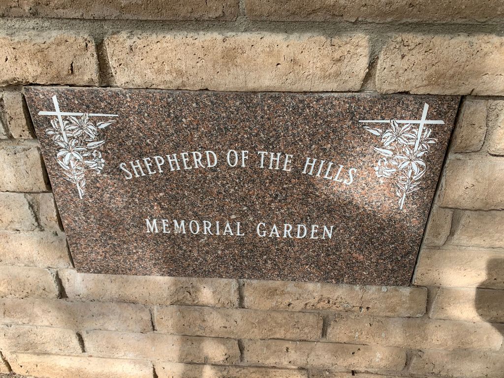
| Memorials | : | 0 |
| Location | : | Phoenix, Maricopa County, USA |
| Phone | : | 6028403130 |
| Website | : | www.learnloveserve.org |
| Coordinate | : | 33.4950920, -111.9626900 |
frequently asked questions (FAQ):
-
Where is Shepherd of the Hills UCC Memorial Garden?
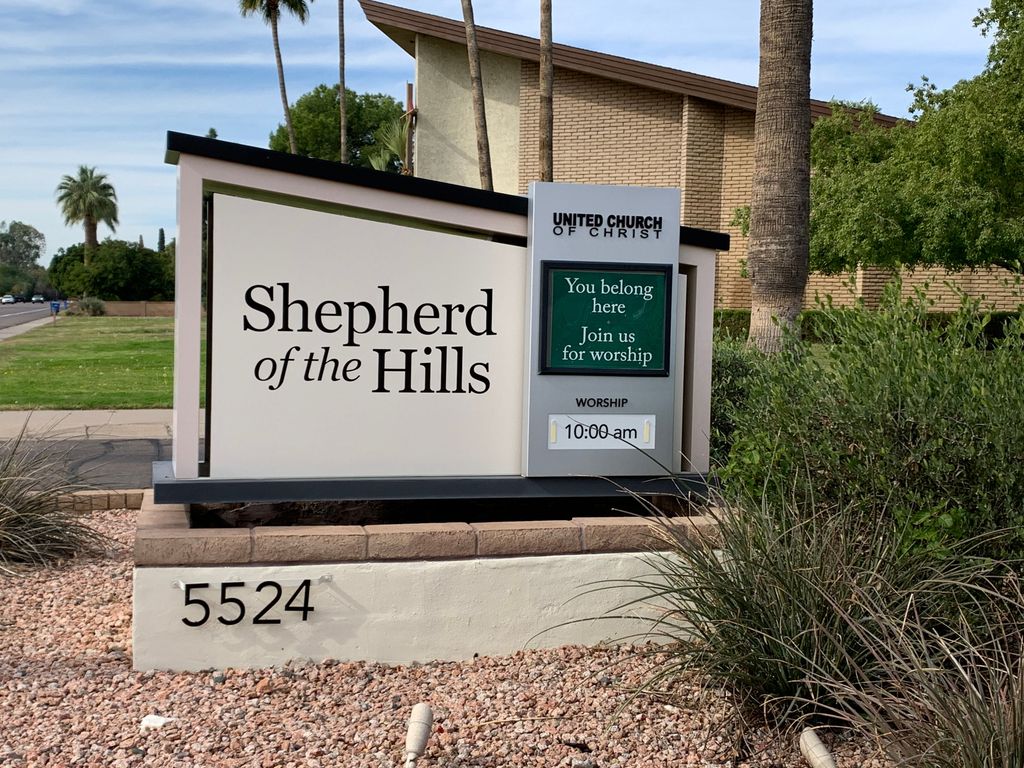
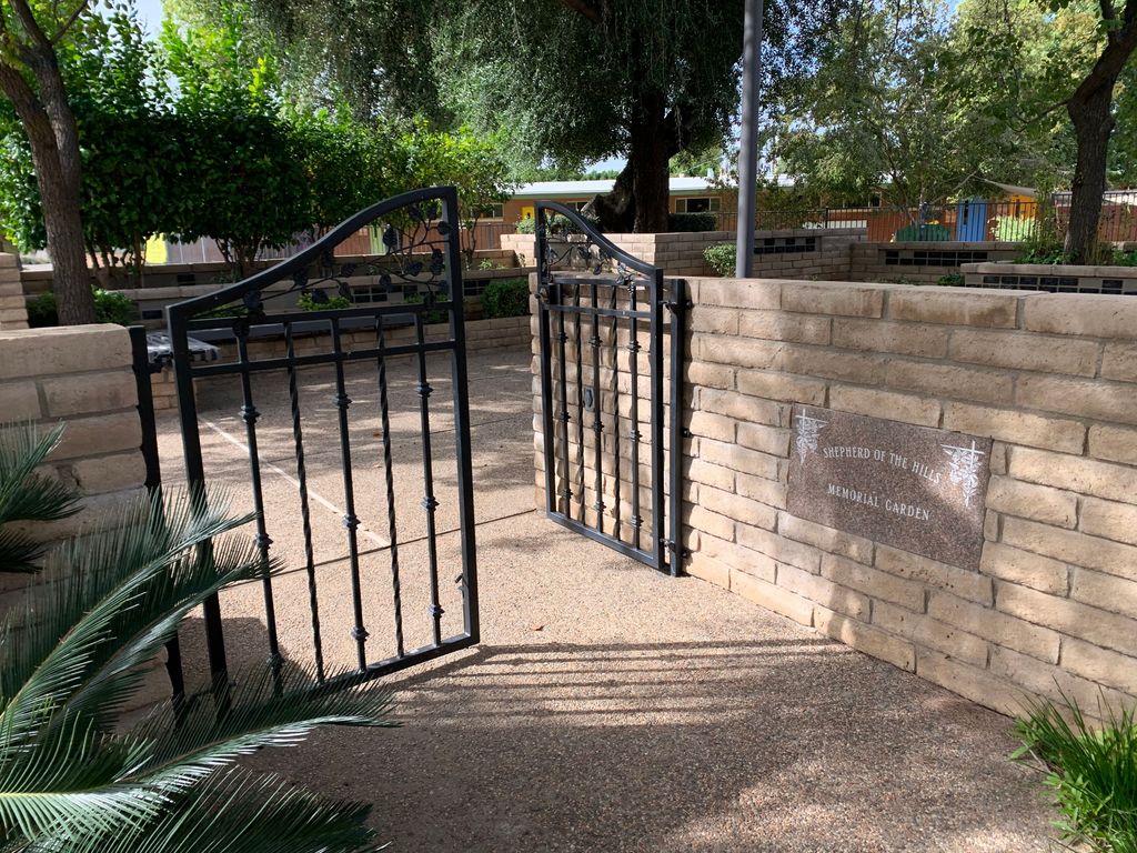
Shepherd of the Hills UCC Memorial Garden is located at 5524 E. Lafayette Blvd Phoenix, Maricopa County ,Arizona , 85018USA.
-
Shepherd of the Hills UCC Memorial Garden cemetery's updated grave count on graveviews.com?
0 memorials
-
Where are the coordinates of the Shepherd of the Hills UCC Memorial Garden?
Latitude: 33.4950920
Longitude: -111.9626900
Nearby Cemetories:
1. Prince of Peace Lutheran Church Columbarium
Phoenix, Maricopa County, USA
Coordinate: 33.4909000, -111.9596330
2. Saint Francis Catholic Cemetery
Phoenix, Maricopa County, USA
Coordinate: 33.4733009, -111.9738998
3. Scottsdale United Methodist Church Memorial Garden
Scottsdale, Maricopa County, USA
Coordinate: 33.4967330, -111.9183910
4. Valley Presbyterian Church Memorial Garden
Paradise Valley, Maricopa County, USA
Coordinate: 33.5219000, -111.9311000
5. Camelback Cemetery
Paradise Valley, Maricopa County, USA
Coordinate: 33.5243900, -111.9328200
6. Paradise Valley Methodist Church Columbarium
Paradise Valley, Maricopa County, USA
Coordinate: 33.5302000, -111.9852000
7. Unitarian Universalist Congregation of Phoenix
Paradise Valley, Maricopa County, USA
Coordinate: 33.5313506, -111.9919749
8. Christ Church of the Ascension Memory Garden
Paradise Valley, Maricopa County, USA
Coordinate: 33.5310200, -111.9943900
9. Papago Park
Phoenix, Maricopa County, USA
Coordinate: 33.4519000, -111.9443000
10. Cross Cut Cemetery
Phoenix, Maricopa County, USA
Coordinate: 33.4514370, -111.9794850
11. Phoenix Zoo
Phoenix, Maricopa County, USA
Coordinate: 33.4501220, -111.9496530
12. Saint Barnabas on the Desert Memorial Garden
Paradise Valley, Maricopa County, USA
Coordinate: 33.5358000, -111.9330000
13. Ascension Lutheran Church Memorial Garden
Paradise Valley, Maricopa County, USA
Coordinate: 33.5415180, -111.9350160
14. Green Acres Memorial Park
Scottsdale, Maricopa County, USA
Coordinate: 33.4530983, -111.9056015
15. Arizona State Hospital Cemetery
Phoenix, Maricopa County, USA
Coordinate: 33.4525960, -112.0295240
16. First Congregational Church Columbarium
Maricopa County, USA
Coordinate: 33.4240000, -111.9378000
17. First United Methodist Church Memorial Garden
Tempe, Maricopa County, USA
Coordinate: 33.4214970, -111.9363410
18. Catholic Church Cemetery
Salt River, Maricopa County, USA
Coordinate: 33.4853210, -111.8686880
19. Faith Lutheran Church Columbarium
Phoenix, Maricopa County, USA
Coordinate: 33.5088420, -112.0640250
20. Chaparral Christian Church Memorial Garden
Maricopa County, USA
Coordinate: 33.5809510, -111.9411110
21. Tempe Double Butte Cemetery
Tempe, Maricopa County, USA
Coordinate: 33.4072189, -111.9756393
22. Saint Augustines Episcopal Church Columbarium
Tempe, Maricopa County, USA
Coordinate: 33.4084100, -111.9345750
23. Twin Buttes Cemetery
Tempe, Maricopa County, USA
Coordinate: 33.4047700, -111.9667300
24. Mountain View Presbyterian Church Memorial Garden
Scottsdale, Maricopa County, USA
Coordinate: 33.5755940, -111.9069290

