| Memorials | : | 0 |
| Location | : | Gilmer County, USA |
| Coordinate | : | 34.8361015, -84.4700012 |
| Description | : | From the square in Ellijay (Gilmer Co.) go approx one-half mile north on Hwy 52. Turn right on Boardtown Rd and go approx 11.5 miles north to Bushey Head Rd. Turn left and go approx 2.7 miles to Cashes Valley Ln. Bear left and go approx one-half mile to Cashes Valley Rd and turn left. Take Cashes Valley Rd for approx 4 miles to reach Cashes Valley Church of Christ Cemetery on the left. |
frequently asked questions (FAQ):
-
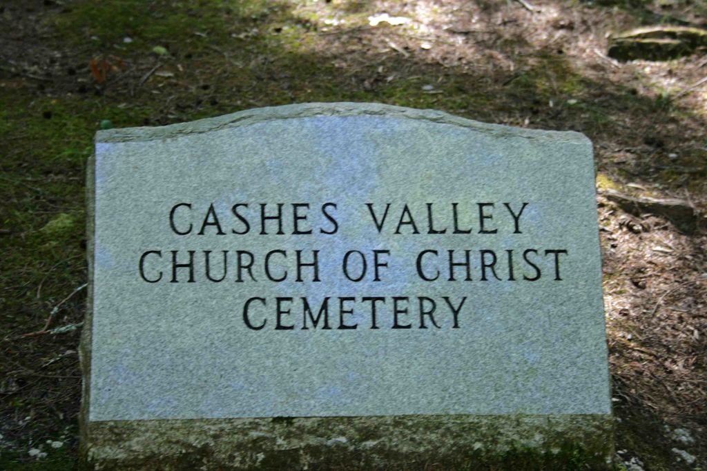
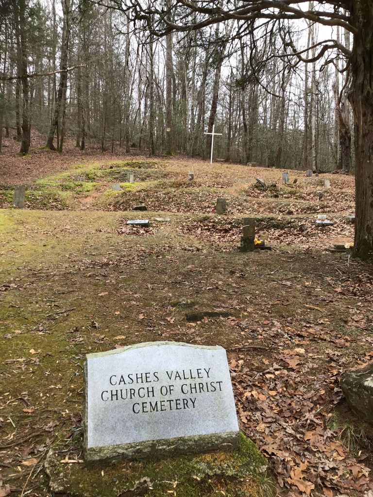
Where is Cashes Valley Church of Christ Cemetery?
Cashes Valley Church of Christ Cemetery is located at Gilmer County ,Georgia ,USA.
-
Cashes Valley Church of Christ Cemetery cemetery's updated grave count on graveviews.com?
0 memorials
-
Where are the coordinates of the Cashes Valley Church of Christ Cemetery?
Latitude: 34.8361015
Longitude: -84.4700012
Nearby Cemetories:
1. Johnson Family Cemetery
Gilmer County, USA
Coordinate: 34.8335880, -84.4629230
2. Chapman Cemetery
Gilmer County, USA
Coordinate: 34.8161011, -84.4152985
3. Dyer Mountain Cemetery
Fannin County, USA
Coordinate: 34.8692017, -84.5147018
4. Mount Pleasant Baptist Church Cemetery #1
Gilmer County, USA
Coordinate: 34.8013230, -84.4245730
5. Boardtown Church of Christ Cemetery
Gilmer County, USA
Coordinate: 34.8213997, -84.4064026
6. Holloway Family Cemetery
Gilmer County, USA
Coordinate: 34.8208600, -84.4063100
7. Hipps Chapel Methodist Church Cemetery
Blue Ridge, Fannin County, USA
Coordinate: 34.8952640, -84.4752290
8. Jones Cemetery
Ellijay, Gilmer County, USA
Coordinate: 34.7743988, -84.4443970
9. Colwell Baptist Church Cemetery
Higdon, Fannin County, USA
Coordinate: 34.9008370, -84.4603490
10. Flat Branch Baptist Church Cemetery
Flat Branch, Gilmer County, USA
Coordinate: 34.7724460, -84.4893530
11. Mount Moriah Church Cemetery
Fannin County, USA
Coordinate: 34.8920000, -84.4260000
12. Zion Hill Baptist Church Cemetery
Ellijay, Gilmer County, USA
Coordinate: 34.7864700, -84.5256030
13. New Vision Church
Blue Ridge, Fannin County, USA
Coordinate: 34.8932950, -84.4228980
14. Golden Cemetery
Fannin County, USA
Coordinate: 34.8442001, -84.3842010
15. Helping Hand Fellowship Cemetery
Epworth, Fannin County, USA
Coordinate: 34.9026250, -84.4395580
16. Salem Baptist Church Cemetery
Ellijay, Gilmer County, USA
Coordinate: 34.7642479, -84.4466705
17. Sharp Cemetery
Gilmer County, USA
Coordinate: 34.7869300, -84.4019900
18. Macedonia Church of Christ Cemetery
Blue Ridge, Fannin County, USA
Coordinate: 34.8651500, -84.3861150
19. Sisson Cemetery
Cherry Log, Gilmer County, USA
Coordinate: 34.8271590, -84.3768400
20. Millsaps Cemetery
Epworth, Fannin County, USA
Coordinate: 34.9143982, -84.4732971
21. Rogers Family Cemetery
Cherry Log, Gilmer County, USA
Coordinate: 34.7811800, -84.3976480
22. Mount Nebo Cemetery
Gilmer County, USA
Coordinate: 34.7857513, -84.5471725
23. Jones Cemetery
Loving, Fannin County, USA
Coordinate: 34.8995000, -84.5316000
24. Gates Chapel UMC Cemetery
Mountaintown, Gilmer County, USA
Coordinate: 34.7943520, -84.5566790


