
| Memorials | : | 3 |
| Location | : | Center Hill, Armstrong County, USA |
| Coordinate | : | 40.7962350, -79.5759060 |
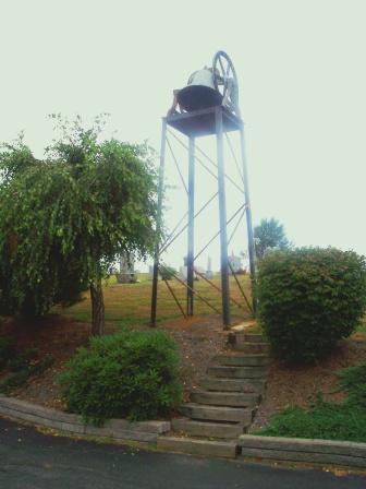
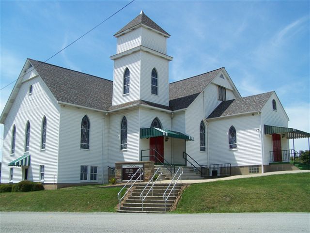
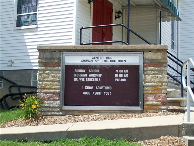
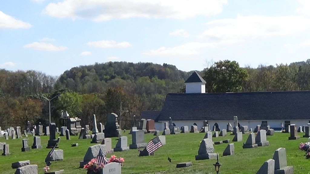
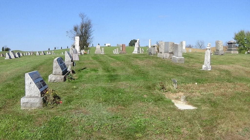
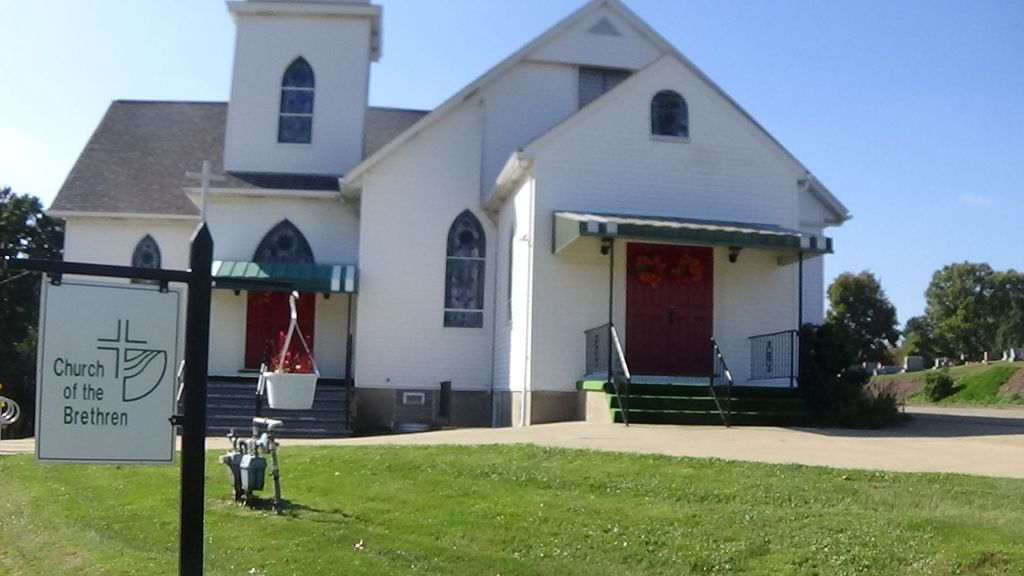
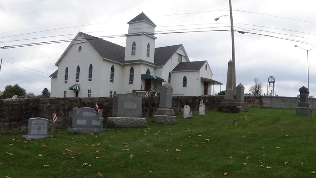
| Description | : | This cemetery is located in Center Hill, North Buffalo Township, Armstrong County, PA. From West Kittanning, Armstrong County, Pennsylvania, at the intersection of State Route 268 and Business U.S. Route 422, drive west, up the hill, from this intersection, for a distance of 0.75 miles, to the stop light, at the intersection of Business 422 and Old Route 28. At this intersection, across from the McDonalds, turn left onto Old Route 28 and drive, South, a total of two miles to the Church and Cemetery, on your right. Be careful, as the Church is on a sharp bend and... Read More |
frequently asked questions (FAQ):
-
Where is Center Hill Church of the Brethren Cemetery?
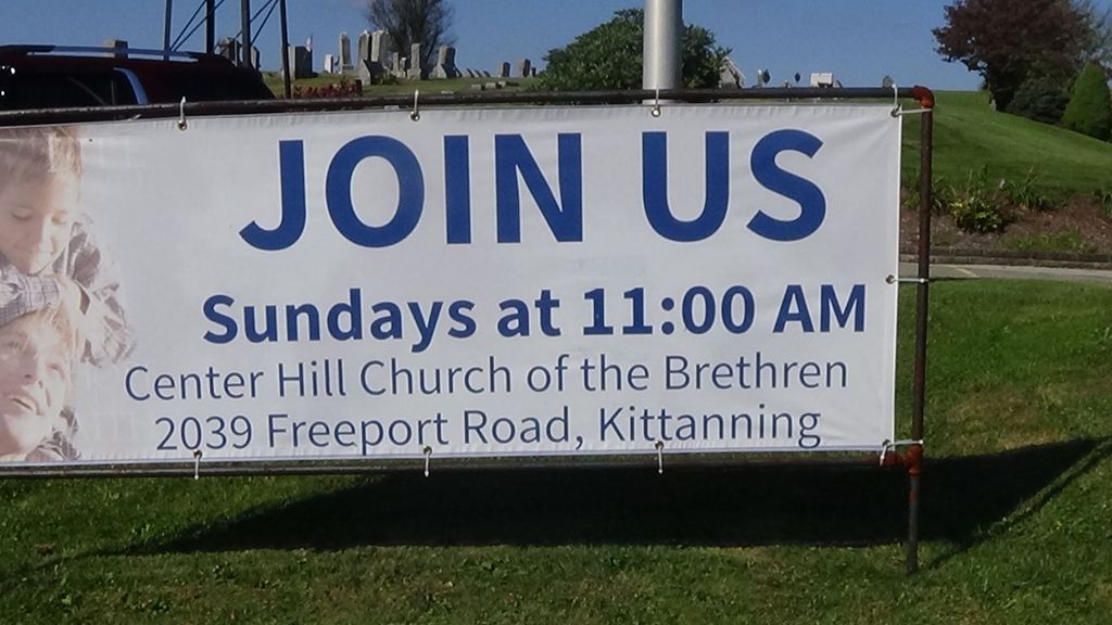
Center Hill Church of the Brethren Cemetery is located at 2039 Freeport Road Center Hill, Armstrong County ,Pennsylvania , 16201USA.
-
Center Hill Church of the Brethren Cemetery cemetery's updated grave count on graveviews.com?
3 memorials
-
Where are the coordinates of the Center Hill Church of the Brethren Cemetery?
Latitude: 40.7962350
Longitude: -79.5759060
Nearby Cemetories:
1. Bonner Cemetery
Center Hill, Armstrong County, USA
Coordinate: 40.7958130, -79.5754020
2. Grace Brethren Church Cemetery
Center Hill, Armstrong County, USA
Coordinate: 40.7962720, -79.5785880
3. Cowan Cemetery
North Buffalo, Armstrong County, USA
Coordinate: 40.7877998, -79.5507965
4. West Glade Run Presbyterian Cemetery
Armstrong County, USA
Coordinate: 40.8225000, -79.5857000
5. Union Baptist Cemetery
North Buffalo, Armstrong County, USA
Coordinate: 40.7663100, -79.5899400
6. Green Cemetery
Armstrong County, USA
Coordinate: 40.7626839, -79.5522919
7. Guardian Angel Cemetery
North Buffalo Township, Armstrong County, USA
Coordinate: 40.7673000, -79.6116000
8. Fort Run Cemetery
Manor Township, Armstrong County, USA
Coordinate: 40.7823460, -79.5224960
9. Fox Cemetery
East Franklin Township, Armstrong County, USA
Coordinate: 40.8388050, -79.5630550
10. Old Kittanning Cemetery (Defunct)
Kittanning, Armstrong County, USA
Coordinate: 40.8183950, -79.5243840
11. Campbell Family Cemetery
Walkchalk, Armstrong County, USA
Coordinate: 40.8420610, -79.5586110
12. Kittanning Cemetery
Kittanning, Armstrong County, USA
Coordinate: 40.8231140, -79.5174340
13. Saint Marys Cemetery
Kittanning, Armstrong County, USA
Coordinate: 40.8347015, -79.5239029
14. Saint Francis DePaul Cemetery
Cadogan, Armstrong County, USA
Coordinate: 40.7432000, -79.5955000
15. Buffalo United Presbyterian Church Cemetery
Slate Lick, Armstrong County, USA
Coordinate: 40.7706940, -79.6408260
16. Appleby Manor Presbyterian Church Cemetery
Ford City, Armstrong County, USA
Coordinate: 40.7539300, -79.5269720
17. Holy Trinity Cemetery
Ford City, Armstrong County, USA
Coordinate: 40.7571983, -79.5216980
18. Saint Mary's Roman Catholic Cemetery
Ford City, Armstrong County, USA
Coordinate: 40.7599983, -79.5180969
19. Slate Lick Cemetery
Slate Lick, Armstrong County, USA
Coordinate: 40.7680397, -79.6423721
20. Slate Lick United Presbyterian Cemetery
Slate Lick, Armstrong County, USA
Coordinate: 40.7633890, -79.6387230
21. Ford City Cemetery
Ford City, Armstrong County, USA
Coordinate: 40.7528570, -79.5239460
22. Saint Joseph Cemetery
Kittanning, Armstrong County, USA
Coordinate: 40.8266983, -79.5074997
23. Saint Mary's Ukrainian Catholic Cemetery
Ford City, Armstrong County, USA
Coordinate: 40.7467003, -79.5205994
24. Herron Family Cemetery
Cowansville, Armstrong County, USA
Coordinate: 40.8666170, -79.5751760