
| Memorials | : | 0 |
| Location | : | Kittanning, Armstrong County, USA |
| Coordinate | : | 40.8183950, -79.5243840 |
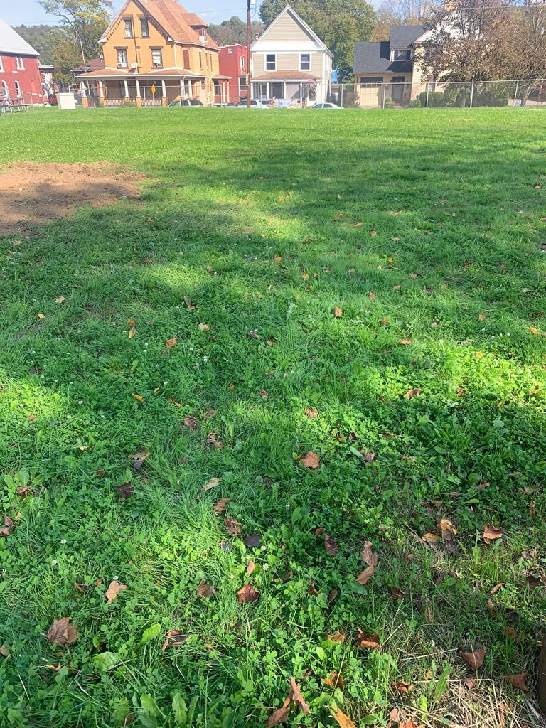
| Description | : | Old Kittanning Cemetery was disinterred in 1960 and moved to the Kittanning Cemetery and reinterred in Section M. |
frequently asked questions (FAQ):
-
Where is Old Kittanning Cemetery (Defunct)?
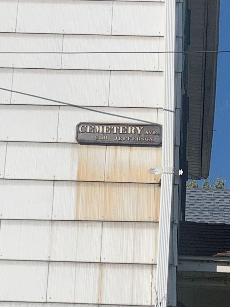
Old Kittanning Cemetery (Defunct) is located at N Jefferson Street Kittanning, Armstrong County ,Pennsylvania , 16201USA.
-
Old Kittanning Cemetery (Defunct) cemetery's updated grave count on graveviews.com?
0 memorials
-
Where are the coordinates of the Old Kittanning Cemetery (Defunct)?
Latitude: 40.8183950
Longitude: -79.5243840
Nearby Cemetories:
1. Kittanning Cemetery
Kittanning, Armstrong County, USA
Coordinate: 40.8231140, -79.5174340
2. Saint Joseph Cemetery
Kittanning, Armstrong County, USA
Coordinate: 40.8266983, -79.5074997
3. Saint Marys Cemetery
Kittanning, Armstrong County, USA
Coordinate: 40.8347015, -79.5239029
4. County Home Cemetery
Armstrong County, USA
Coordinate: 40.8114710, -79.4842390
5. Campbell Family Cemetery
Walkchalk, Armstrong County, USA
Coordinate: 40.8420610, -79.5586110
6. Fox Cemetery
East Franklin Township, Armstrong County, USA
Coordinate: 40.8388050, -79.5630550
7. Fort Run Cemetery
Manor Township, Armstrong County, USA
Coordinate: 40.7823460, -79.5224960
8. Cowan Cemetery
North Buffalo, Armstrong County, USA
Coordinate: 40.7877998, -79.5507965
9. Bonner Cemetery
Center Hill, Armstrong County, USA
Coordinate: 40.7958130, -79.5754020
10. Center Hill Church of the Brethren Cemetery
Center Hill, Armstrong County, USA
Coordinate: 40.7962350, -79.5759060
11. Good Shepherd Cemetery
Fenelton, Butler County, USA
Coordinate: 40.8434590, -79.4741510
12. West Glade Run Presbyterian Cemetery
Armstrong County, USA
Coordinate: 40.8225000, -79.5857000
13. Grace Brethren Church Cemetery
Center Hill, Armstrong County, USA
Coordinate: 40.7962720, -79.5785880
14. Ritchison Farm Cemetery
Armstrong County, USA
Coordinate: 40.8475000, -79.4747000
15. Myers-Patton Cemetery
Adrian, Armstrong County, USA
Coordinate: 40.8619270, -79.4972458
16. Black Cemetery
Kittanning, Armstrong County, USA
Coordinate: 40.7764060, -79.4860300
17. Saint Mary's Roman Catholic Cemetery
Ford City, Armstrong County, USA
Coordinate: 40.7599983, -79.5180969
18. Pine Creek Baptist Church Cemetery
Kittanning, Armstrong County, USA
Coordinate: 40.8514748, -79.4601440
19. Green Cemetery
Armstrong County, USA
Coordinate: 40.7626839, -79.5522919
20. Rupp Lutheran Church Cemetery
Kittanning, Armstrong County, USA
Coordinate: 40.7866516, -79.4561920
21. Croyle Cemetery
Adrian, Armstrong County, USA
Coordinate: 40.8782997, -79.5108032
22. Holy Trinity Cemetery
Ford City, Armstrong County, USA
Coordinate: 40.7571983, -79.5216980
23. Herron Family Cemetery
Cowansville, Armstrong County, USA
Coordinate: 40.8666170, -79.5751760
24. Appleby Manor Presbyterian Church Cemetery
Ford City, Armstrong County, USA
Coordinate: 40.7539300, -79.5269720