
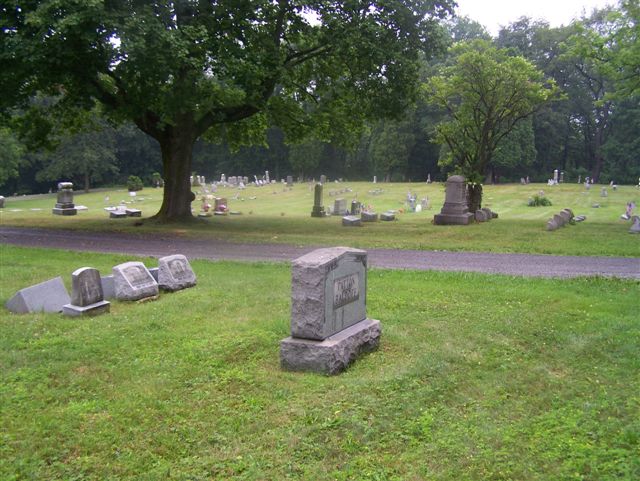
| Memorials | : | 1 |
| Location | : | Kittanning, Armstrong County, USA |
| Coordinate | : | 40.8347015, -79.5239029 |
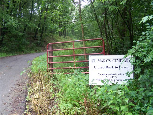
| Description | : | Directions: From the Courthouse, in Kittanning, Pennsylvania, drive 0.1 miles up the hill, past the Courthouse to the intersection with Oak Ave. and bear left onto Oak Avenue. (Caution...very narrow street) On Oak Ave., drive 1.3 miles to the intersection, at Glenn St. and turn left onto Glenn St. Drive one block and turn right onto Orr Ave. Drive one block and turn right onto Lemon Way. Drive one block and turn to the right and back onto Oak Ave. Drive one Half Block and bear left, up the steep hill onto Terrace Ave. Follow Terrace... Read More |
frequently asked questions (FAQ):
-
Where is Saint Marys Cemetery?
Saint Marys Cemetery is located at Sirwell Street Kittanning, Armstrong County ,Pennsylvania , 16201USA.
-
Saint Marys Cemetery cemetery's updated grave count on graveviews.com?
1 memorials
-
Where are the coordinates of the Saint Marys Cemetery?
Latitude: 40.8347015
Longitude: -79.5239029
Nearby Cemetories:
1. Kittanning Cemetery
Kittanning, Armstrong County, USA
Coordinate: 40.8231140, -79.5174340
2. Saint Joseph Cemetery
Kittanning, Armstrong County, USA
Coordinate: 40.8266983, -79.5074997
3. Old Kittanning Cemetery (Defunct)
Kittanning, Armstrong County, USA
Coordinate: 40.8183950, -79.5243840
4. Campbell Family Cemetery
Walkchalk, Armstrong County, USA
Coordinate: 40.8420610, -79.5586110
5. Fox Cemetery
East Franklin Township, Armstrong County, USA
Coordinate: 40.8388050, -79.5630550
6. Myers-Patton Cemetery
Adrian, Armstrong County, USA
Coordinate: 40.8619270, -79.4972458
7. County Home Cemetery
Armstrong County, USA
Coordinate: 40.8114710, -79.4842390
8. Good Shepherd Cemetery
Fenelton, Butler County, USA
Coordinate: 40.8434590, -79.4741510
9. Ritchison Farm Cemetery
Armstrong County, USA
Coordinate: 40.8475000, -79.4747000
10. Croyle Cemetery
Adrian, Armstrong County, USA
Coordinate: 40.8782997, -79.5108032
11. West Glade Run Presbyterian Cemetery
Armstrong County, USA
Coordinate: 40.8225000, -79.5857000
12. Herron Family Cemetery
Cowansville, Armstrong County, USA
Coordinate: 40.8666170, -79.5751760
13. Pine Creek Baptist Church Cemetery
Kittanning, Armstrong County, USA
Coordinate: 40.8514748, -79.4601440
14. Cowan Cemetery
North Buffalo, Armstrong County, USA
Coordinate: 40.7877998, -79.5507965
15. Fort Run Cemetery
Manor Township, Armstrong County, USA
Coordinate: 40.7823460, -79.5224960
16. Montgomeryville Baptist Church Cemetery
Adrian, Armstrong County, USA
Coordinate: 40.8866615, -79.5376434
17. Crissman Family Cemetery
Adrian, Armstrong County, USA
Coordinate: 40.8877490, -79.5402750
18. Center Hill Church of the Brethren Cemetery
Center Hill, Armstrong County, USA
Coordinate: 40.7962350, -79.5759060
19. Bonner Cemetery
Center Hill, Armstrong County, USA
Coordinate: 40.7958130, -79.5754020
20. Grace Brethren Church Cemetery
Center Hill, Armstrong County, USA
Coordinate: 40.7962720, -79.5785880
21. Saint Mark's Lutheran Church Cemetery
Adrian, Armstrong County, USA
Coordinate: 40.8960152, -79.5370865
22. Limestone Church of God Cemetery
Adrian, Armstrong County, USA
Coordinate: 40.8968887, -79.5180740
23. Toy Family Cemetery
Adrian, Armstrong County, USA
Coordinate: 40.8971130, -79.5082120
24. Black Cemetery
Kittanning, Armstrong County, USA
Coordinate: 40.7764060, -79.4860300