
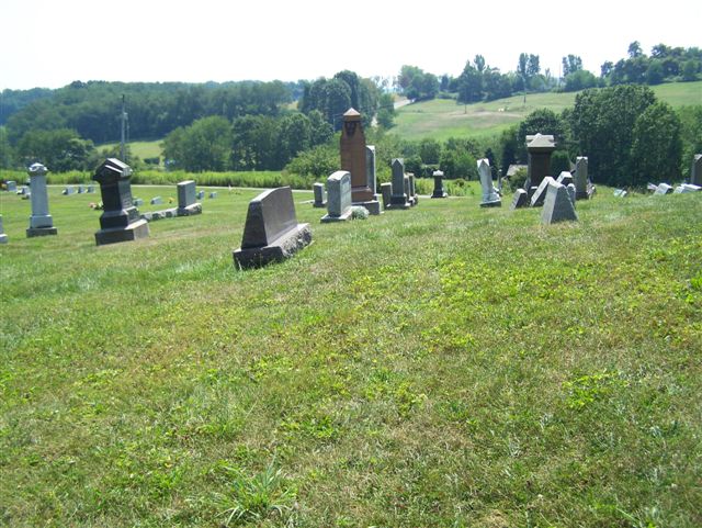
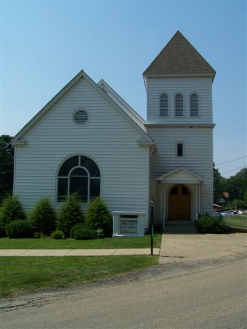
| Memorials | : | 2 |
| Location | : | Armstrong County, USA |
| Coordinate | : | 40.8225000, -79.5857000 |
frequently asked questions (FAQ):
-
Where is West Glade Run Presbyterian Cemetery?
West Glade Run Presbyterian Cemetery is located at Armstrong County ,Pennsylvania ,USA.
-
West Glade Run Presbyterian Cemetery cemetery's updated grave count on graveviews.com?
2 memorials
-
Where are the coordinates of the West Glade Run Presbyterian Cemetery?
Latitude: 40.8225000
Longitude: -79.5857000


Nearby Cemetories:
1. Fox Cemetery
East Franklin Township, Armstrong County, USA
Coordinate: 40.8388050, -79.5630550
2. Grace Brethren Church Cemetery
Center Hill, Armstrong County, USA
Coordinate: 40.7962720, -79.5785880
3. Center Hill Church of the Brethren Cemetery
Center Hill, Armstrong County, USA
Coordinate: 40.7962350, -79.5759060
4. Bonner Cemetery
Center Hill, Armstrong County, USA
Coordinate: 40.7958130, -79.5754020
5. Campbell Family Cemetery
Walkchalk, Armstrong County, USA
Coordinate: 40.8420610, -79.5586110
6. Cowan Cemetery
North Buffalo, Armstrong County, USA
Coordinate: 40.7877998, -79.5507965
7. Herron Family Cemetery
Cowansville, Armstrong County, USA
Coordinate: 40.8666170, -79.5751760
8. Old Kittanning Cemetery (Defunct)
Kittanning, Armstrong County, USA
Coordinate: 40.8183950, -79.5243840
9. Saint Marys Cemetery
Kittanning, Armstrong County, USA
Coordinate: 40.8347015, -79.5239029
10. Kittanning Cemetery
Kittanning, Armstrong County, USA
Coordinate: 40.8231140, -79.5174340
11. Union Baptist Cemetery
North Buffalo, Armstrong County, USA
Coordinate: 40.7663100, -79.5899400
12. Guardian Angel Cemetery
North Buffalo Township, Armstrong County, USA
Coordinate: 40.7673000, -79.6116000
13. Saint Joseph Cemetery
Kittanning, Armstrong County, USA
Coordinate: 40.8266983, -79.5074997
14. Fort Run Cemetery
Manor Township, Armstrong County, USA
Coordinate: 40.7823460, -79.5224960
15. Green Cemetery
Armstrong County, USA
Coordinate: 40.7626839, -79.5522919
16. Cowansville Cemetery
Cowansville, Armstrong County, USA
Coordinate: 40.8878860, -79.5878143
17. Buffalo United Presbyterian Church Cemetery
Slate Lick, Armstrong County, USA
Coordinate: 40.7706940, -79.6408260
18. Rich Hill United Presbyterian Church Cemetery
Cowansville, Armstrong County, USA
Coordinate: 40.8916750, -79.5890490
19. Slate Lick Cemetery
Slate Lick, Armstrong County, USA
Coordinate: 40.7680397, -79.6423721
20. Slate Lick United Presbyterian Cemetery
Slate Lick, Armstrong County, USA
Coordinate: 40.7633890, -79.6387230
21. Crissman Family Cemetery
Adrian, Armstrong County, USA
Coordinate: 40.8877490, -79.5402750
22. Montgomeryville Baptist Church Cemetery
Adrian, Armstrong County, USA
Coordinate: 40.8866615, -79.5376434
23. Fair Cemetery
Cowansville, Armstrong County, USA
Coordinate: 40.8961334, -79.5667419
24. County Home Cemetery
Armstrong County, USA
Coordinate: 40.8114710, -79.4842390