
| Memorials | : | 9 |
| Location | : | Chipping, Ribble Valley Borough, England |
| Coordinate | : | 53.8836000, -2.5777700 |
frequently asked questions (FAQ):
-
Where is Chipping Congregational Churchyard?
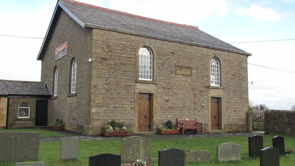
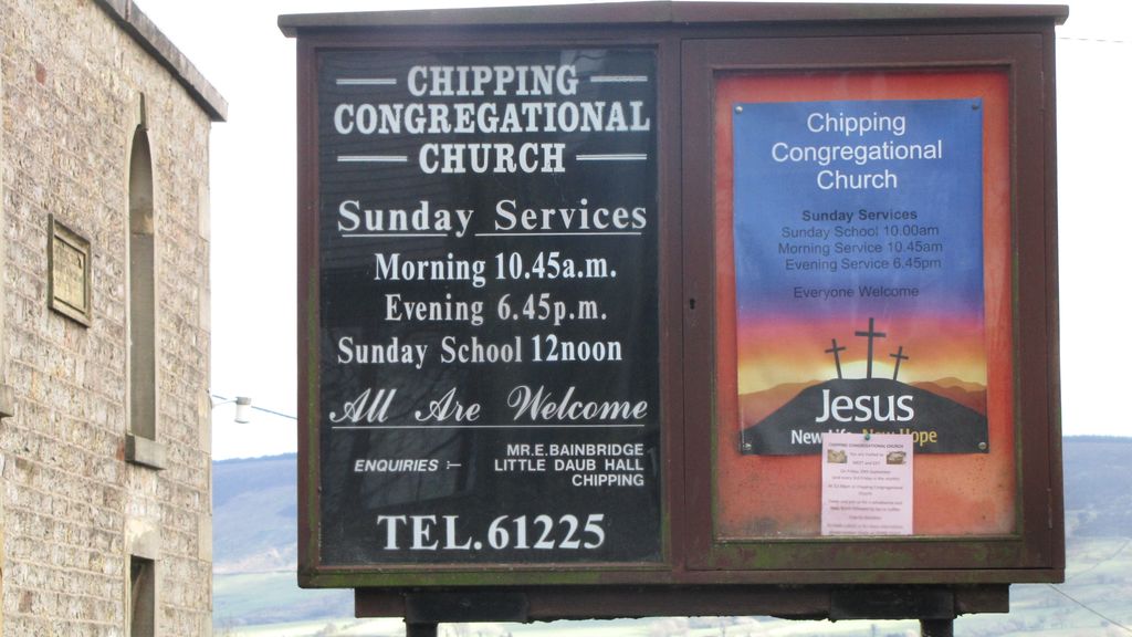
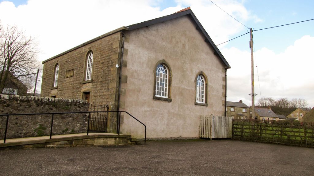
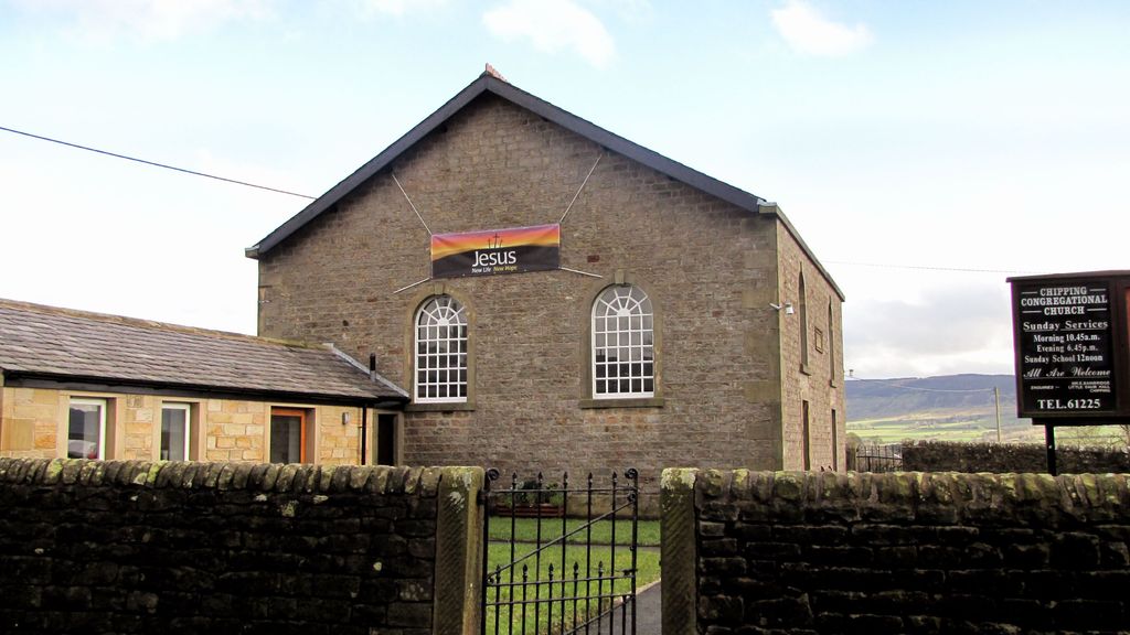
Chipping Congregational Churchyard is located at Garstang Road Chipping, Ribble Valley Borough ,Lancashire , PR3 2QHEngland.
-
Chipping Congregational Churchyard cemetery's updated grave count on graveviews.com?
9 memorials
-
Where are the coordinates of the Chipping Congregational Churchyard?
Latitude: 53.8836000
Longitude: -2.5777700
Nearby Cemetories:
1. St. Bartholomew Churchyard
Chipping, Ribble Valley Borough, England
Coordinate: 53.8846800, -2.5764100
2. St William of York Churchyard
Thornley with Wheatley, Ribble Valley Borough, England
Coordinate: 53.8559540, -2.5866660
3. St. Michael's Churchyard
Whitewell, Ribble Valley Borough, England
Coordinate: 53.9167560, -2.5209540
4. St. Eadmer's Churchyard
Bleasdale, Wyre Borough, England
Coordinate: 53.9040530, -2.6504390
5. Knowle Green Congregational Graveyard
Knowle Green, Ribble Valley Borough, England
Coordinate: 53.8380170, -2.5507210
6. St Wilfred Roman Catholic Churchyard Cemetery
Longridge, Ribble Valley Borough, England
Coordinate: 53.8317380, -2.6086060
7. Church of St James
Goosnargh, City of Preston, England
Coordinate: 53.8657750, -2.6719410
8. St Lawrence Churchyard
Longridge, Ribble Valley Borough, England
Coordinate: 53.8252470, -2.6015030
9. St Hubert Roman Catholic Churchyard
Dunsop Bridge, Ribble Valley Borough, England
Coordinate: 53.9460100, -2.5246900
10. Stonyhurst College Burial Ground
Hurst Green, Ribble Valley Borough, England
Coordinate: 53.8403420, -2.4840310
11. St. Joseph Roman Catholic Churchyard
Hurst Green, Ribble Valley Borough, England
Coordinate: 53.8409900, -2.4820600
12. The Church of St. Saviour The Holy House of Stydd
Ribchester, Ribble Valley Borough, England
Coordinate: 53.8188690, -2.5272770
13. St John the Evangelist Churchyard
Hurst Green, Ribble Valley Borough, England
Coordinate: 53.8358000, -2.4852530
14. Our Lady and St. Michael Roman Catholic Churchyard
Longridge, Ribble Valley Borough, England
Coordinate: 53.8088040, -2.6133470
15. St Wilfrid Churchyard
Ribchester, Ribble Valley Borough, England
Coordinate: 53.8102780, -2.5332650
16. St. Mary the Virgin Churchyard
Goosnargh, City of Preston, England
Coordinate: 53.8266470, -2.6707030
17. Whittingham Hospital Cemetery
Goosnargh, City of Preston, England
Coordinate: 53.8208401, -2.6613468
18. St Thomas Churchyard
Claughton-on-Brock, Wyre Borough, England
Coordinate: 53.8752030, -2.7199160
19. St. Michael's Churchyard
Grimsargh, City of Preston, England
Coordinate: 53.7990710, -2.6352530
20. All Hallows Churchyard
Great Mitton, Ribble Valley Borough, England
Coordinate: 53.8461500, -2.4339000
21. St Helen Churchyard
Waddington, Ribble Valley Borough, England
Coordinate: 53.8898700, -2.4143900
22. Brockhall Hospital Cemetery
Brockhall Village, Ribble Valley Borough, England
Coordinate: 53.8186850, -2.4560220
23. St. Leonard Old Churchyard
Langho, Ribble Valley Borough, England
Coordinate: 53.8178590, -2.4552870
24. St Leonard Churchyard
Balderstone, Ribble Valley Borough, England
Coordinate: 53.7860070, -2.5609380