
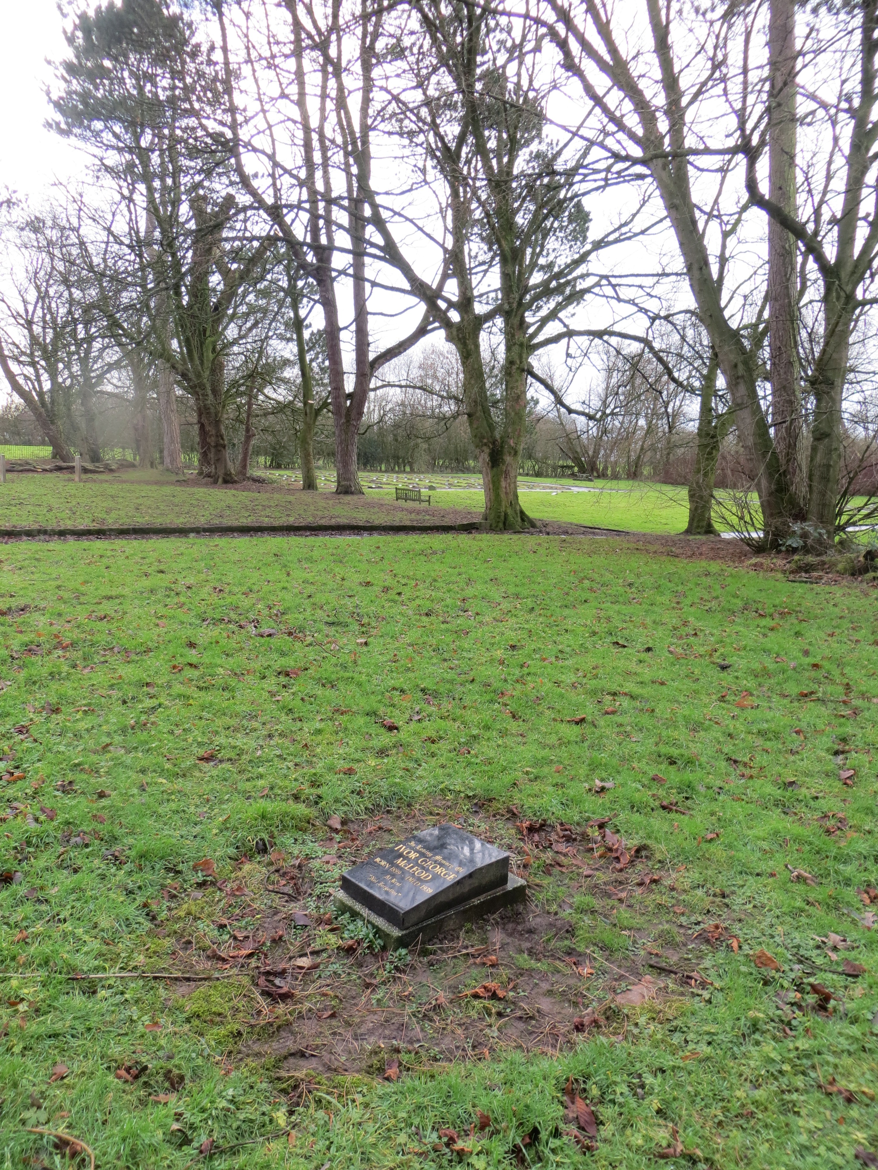
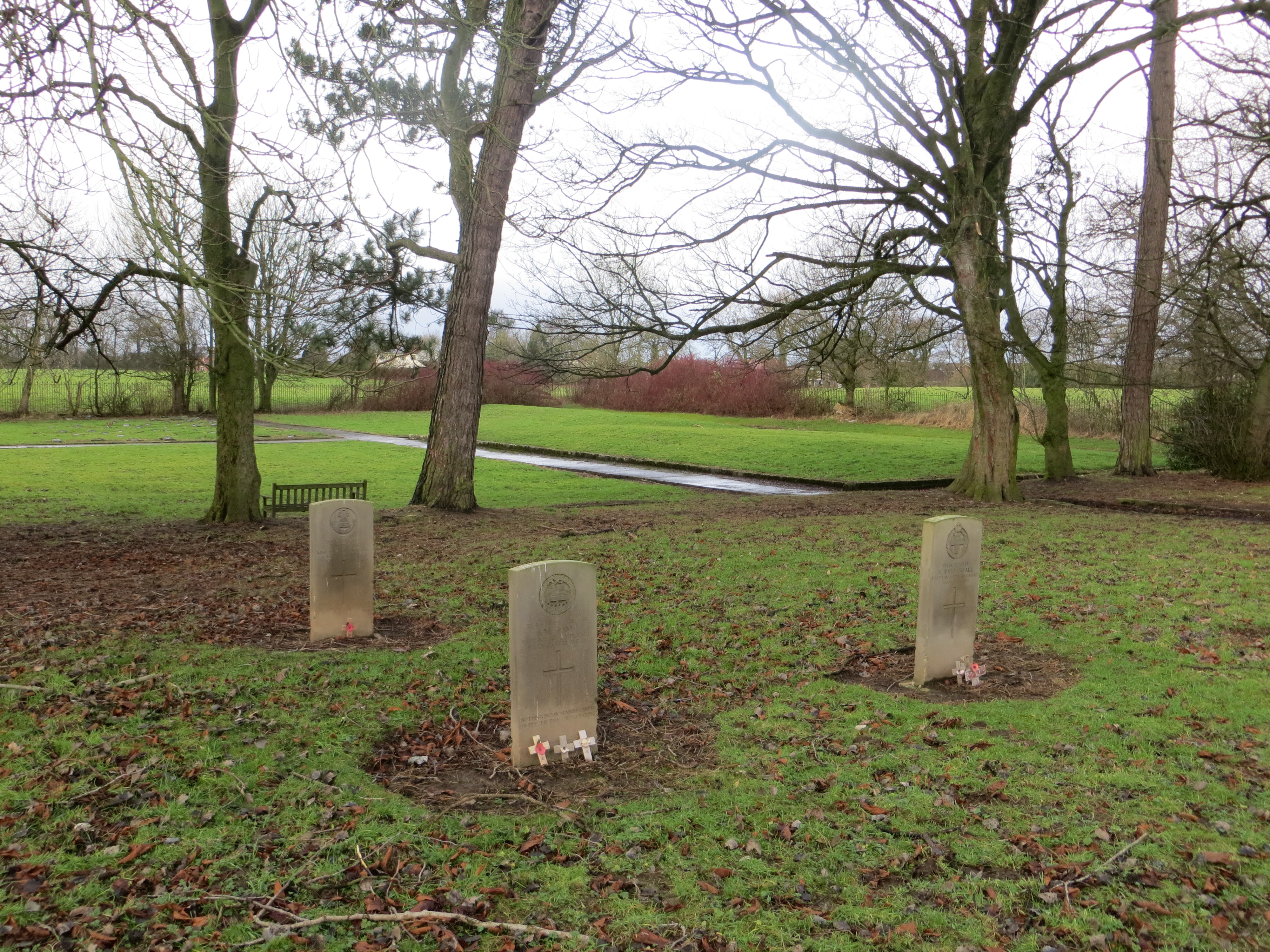
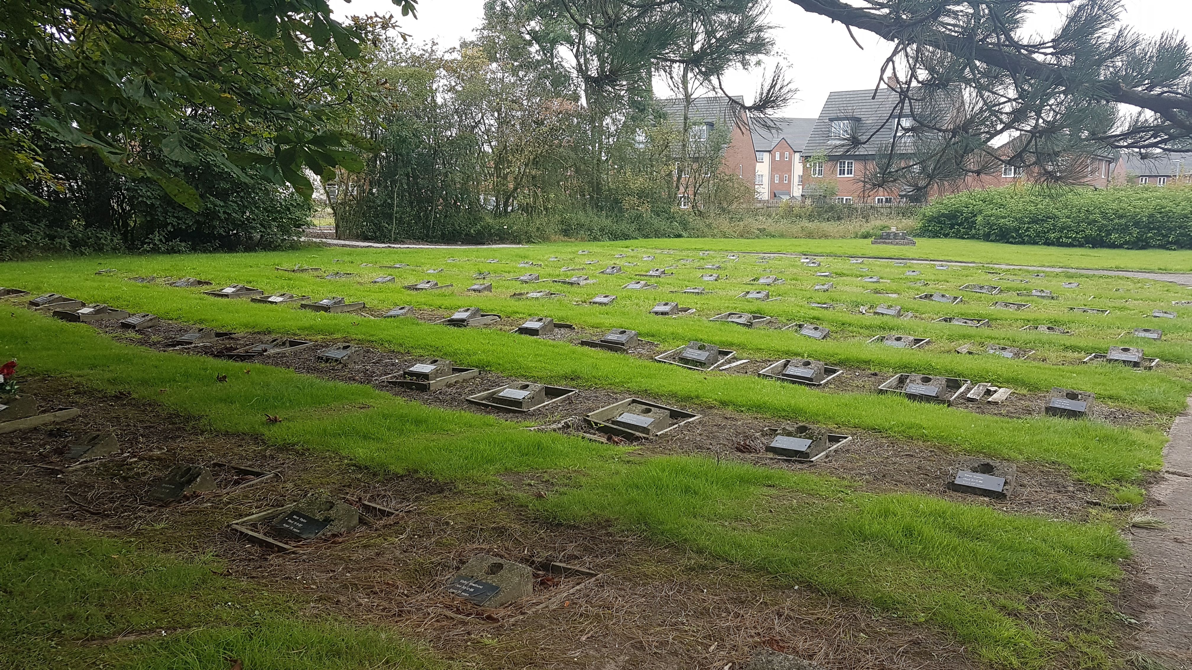
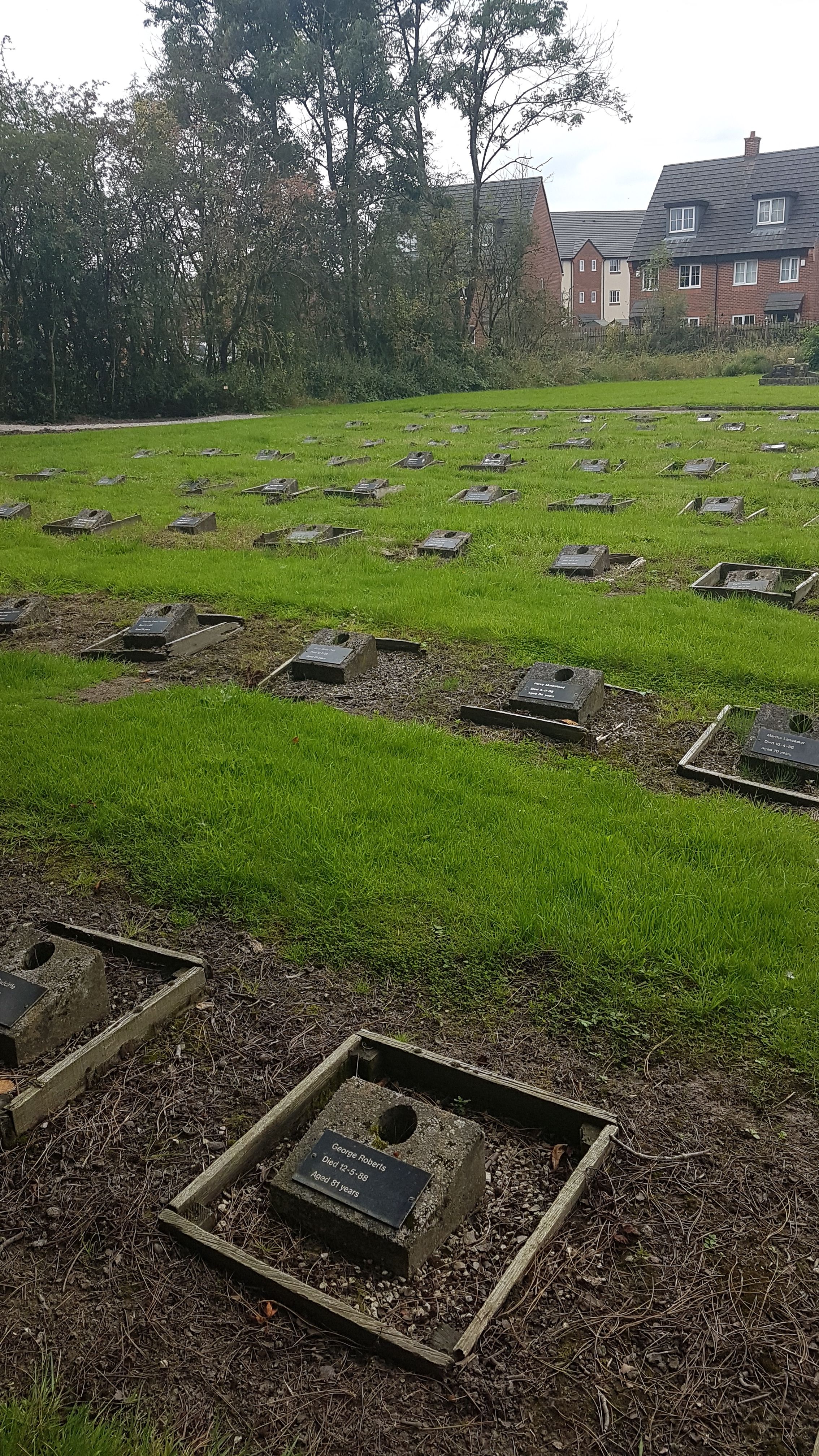
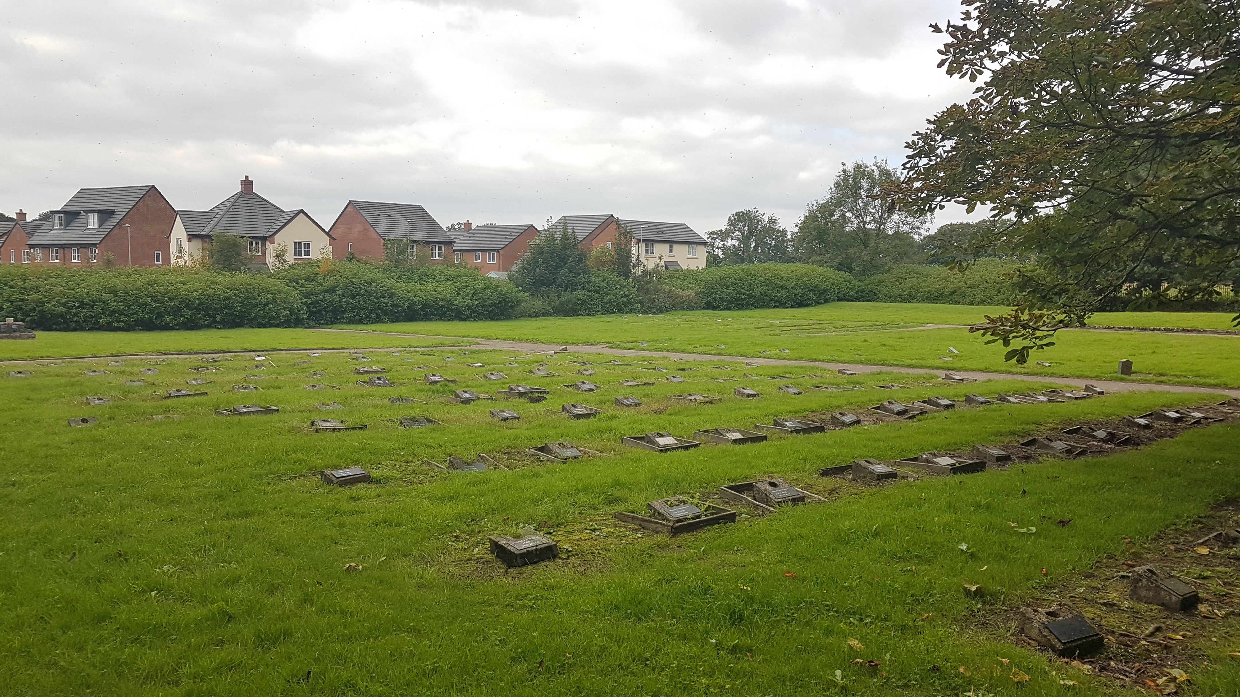
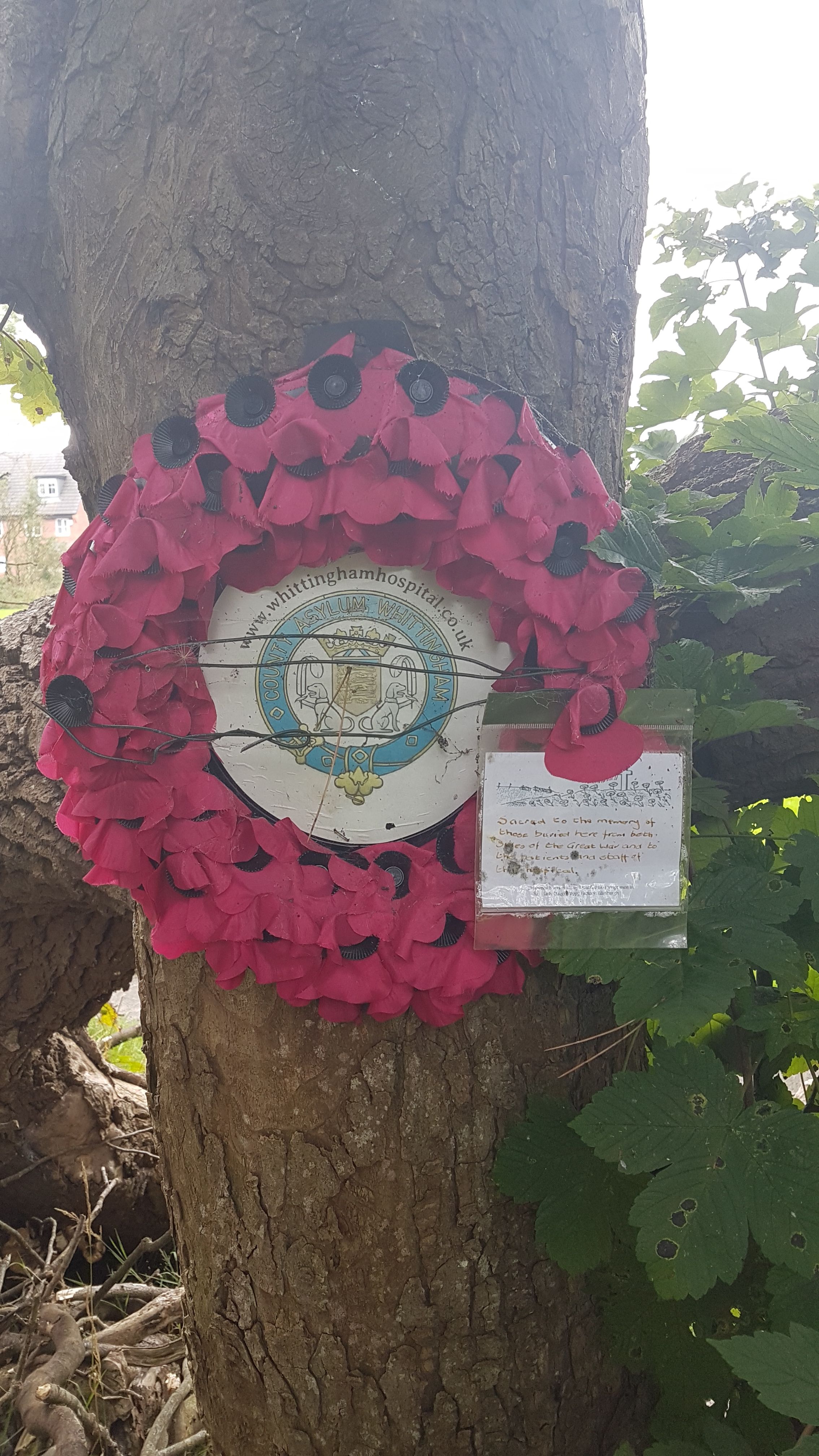
| Memorials | : | 0 |
| Location | : | Goosnargh, City of Preston, England |
| Coordinate | : | 53.8208401, -2.6613468 |
frequently asked questions (FAQ):
-
Where is Whittingham Hospital Cemetery?
Whittingham Hospital Cemetery is located at Goosnargh, City of Preston ,Lancashire ,England.
-
Whittingham Hospital Cemetery cemetery's updated grave count on graveviews.com?
0 memorials
-
Where are the coordinates of the Whittingham Hospital Cemetery?
Latitude: 53.8208401
Longitude: -2.6613468
Nearby Cemetories:
1. St. Mary the Virgin Churchyard
Goosnargh, City of Preston, England
Coordinate: 53.8266470, -2.6707030
2. St. Mary's Churchyard
Preston, City of Preston, England
Coordinate: 53.8010830, -2.6779600
3. St. Michael's Churchyard
Grimsargh, City of Preston, England
Coordinate: 53.7990710, -2.6352530
4. Our Lady and St. Michael Roman Catholic Churchyard
Longridge, Ribble Valley Borough, England
Coordinate: 53.8088040, -2.6133470
5. St Wilfred Roman Catholic Churchyard Cemetery
Longridge, Ribble Valley Borough, England
Coordinate: 53.8317380, -2.6086060
6. St Lawrence Churchyard
Longridge, Ribble Valley Borough, England
Coordinate: 53.8252470, -2.6015030
7. St. John Baptist Churchyard
Broughton-in-Amounderness, City of Preston, England
Coordinate: 53.8033700, -2.7170400
8. Preston Crematorium
Preston, City of Preston, England
Coordinate: 53.7863750, -2.6340170
9. St. Lawrence Churchyard
Barton, City of Preston, England
Coordinate: 53.8289213, -2.7366654
10. Church of St James
Goosnargh, City of Preston, England
Coordinate: 53.8657750, -2.6719410
11. St Mary's Newhouse
Barton, City of Preston, England
Coordinate: 53.8205240, -2.7406500
12. Preston New Cemetery
Ribbleton, City of Preston, England
Coordinate: 53.7717400, -2.6620900
13. Christ Church Churchyard
Fulwood, City of Preston, England
Coordinate: 53.7771920, -2.7028700
14. Preston Old Cemetery
Ribbleton, City of Preston, England
Coordinate: 53.7686352, -2.6623154
15. St William of York Churchyard
Thornley with Wheatley, Ribble Valley Borough, England
Coordinate: 53.8559540, -2.5866660
16. St. Hilda's Churchyard
Bilsborrow, Wyre Borough, England
Coordinate: 53.8522170, -2.7420090
17. St. Leonard the Less Churchyard
Samlesbury, South Ribble Borough, England
Coordinate: 53.7680000, -2.6237000
18. St. Mary's and St. John RC Churchyard, Southworth
Samlesbury, South Ribble Borough, England
Coordinate: 53.7676690, -2.6183400
19. St. Ignatius RC Churchyard
Preston, City of Preston, England
Coordinate: 53.7635270, -2.6965870
20. St. Paul Churchyard
Preston, City of Preston, England
Coordinate: 53.7625360, -2.6947080
21. Saint Anne's Church
Woodplumpton, City of Preston, England
Coordinate: 53.8038130, -2.7621940
22. Saint Peter Churchyard
Preston, City of Preston, England
Coordinate: 53.7634100, -2.7080700
23. St Thomas Churchyard
Claughton-on-Brock, Wyre Borough, England
Coordinate: 53.8752030, -2.7199160
24. Holy Trinity
Preston, City of Preston, England
Coordinate: 53.7613030, -2.7030580