
| Memorials | : | 0 |
| Location | : | Longridge, Ribble Valley Borough, England |
| Coordinate | : | 53.8317380, -2.6086060 |
frequently asked questions (FAQ):
-
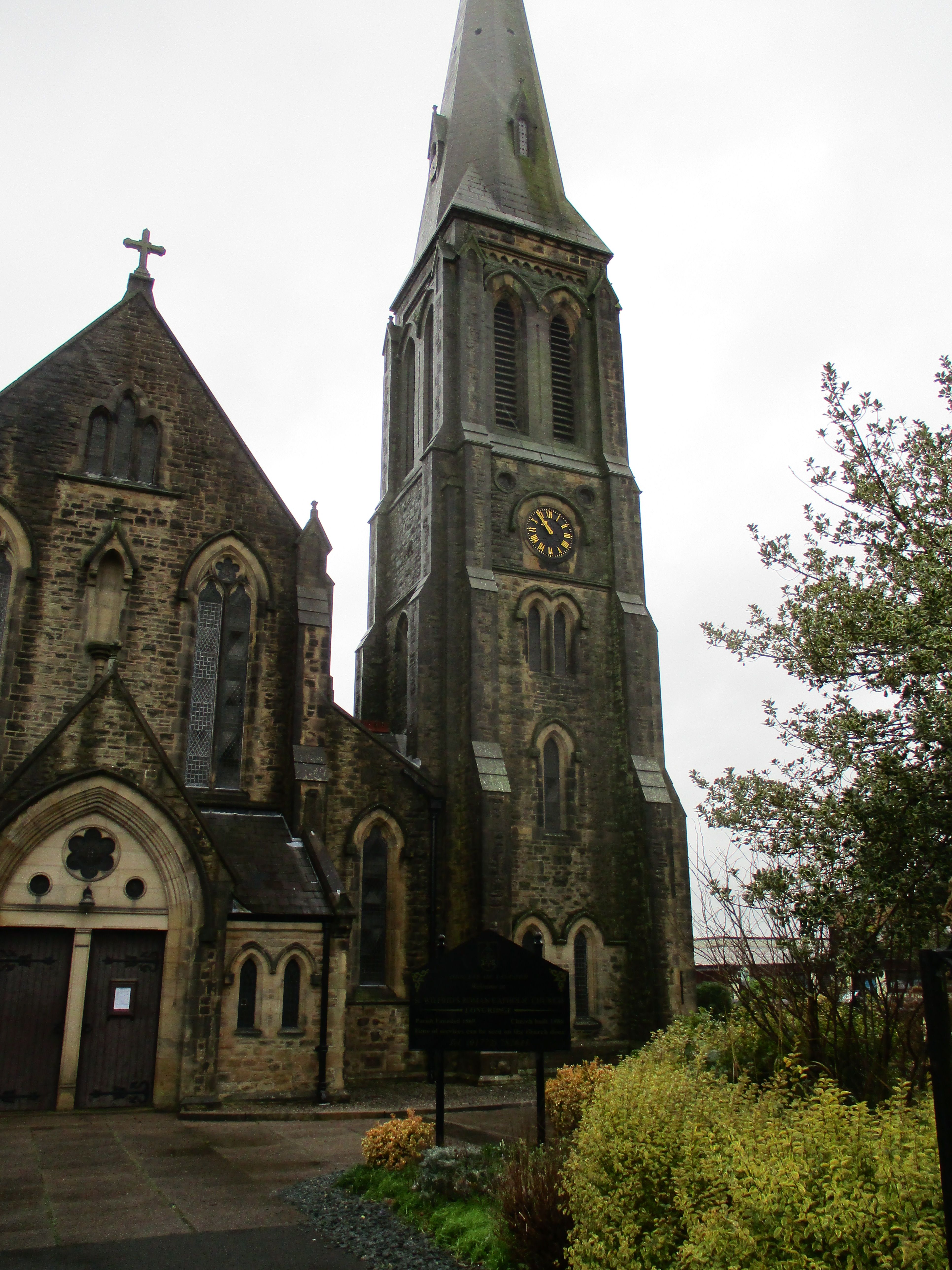
Where is St Wilfred Roman Catholic Churchyard Cemetery?
St Wilfred Roman Catholic Churchyard Cemetery is located at 44 Derby Road Longridge, Ribble Valley Borough ,Lancashire , PR3 3JTEngland.
-
St Wilfred Roman Catholic Churchyard Cemetery cemetery's updated grave count on graveviews.com?
0 memorials
-
Where are the coordinates of the St Wilfred Roman Catholic Churchyard Cemetery?
Latitude: 53.8317380
Longitude: -2.6086060
Nearby Cemetories:
1. St Lawrence Churchyard
Longridge, Ribble Valley Borough, England
Coordinate: 53.8252470, -2.6015030
2. Our Lady and St. Michael Roman Catholic Churchyard
Longridge, Ribble Valley Borough, England
Coordinate: 53.8088040, -2.6133470
3. St William of York Churchyard
Thornley with Wheatley, Ribble Valley Borough, England
Coordinate: 53.8559540, -2.5866660
4. Whittingham Hospital Cemetery
Goosnargh, City of Preston, England
Coordinate: 53.8208401, -2.6613468
5. Knowle Green Congregational Graveyard
Knowle Green, Ribble Valley Borough, England
Coordinate: 53.8380170, -2.5507210
6. St. Michael's Churchyard
Grimsargh, City of Preston, England
Coordinate: 53.7990710, -2.6352530
7. St. Mary the Virgin Churchyard
Goosnargh, City of Preston, England
Coordinate: 53.8266470, -2.6707030
8. Preston Crematorium
Preston, City of Preston, England
Coordinate: 53.7863750, -2.6340170
9. St Wilfrid Churchyard
Ribchester, Ribble Valley Borough, England
Coordinate: 53.8102780, -2.5332650
10. The Church of St. Saviour The Holy House of Stydd
Ribchester, Ribble Valley Borough, England
Coordinate: 53.8188690, -2.5272770
11. Church of St James
Goosnargh, City of Preston, England
Coordinate: 53.8657750, -2.6719410
12. St. Mary's Churchyard
Preston, City of Preston, England
Coordinate: 53.8010830, -2.6779600
13. St Leonard Churchyard
Balderstone, Ribble Valley Borough, England
Coordinate: 53.7860070, -2.5609380
14. Chipping Congregational Churchyard
Chipping, Ribble Valley Borough, England
Coordinate: 53.8836000, -2.5777700
15. St. Bartholomew Churchyard
Chipping, Ribble Valley Borough, England
Coordinate: 53.8846800, -2.5764100
16. St. Mary's and St. John RC Churchyard, Southworth
Samlesbury, South Ribble Borough, England
Coordinate: 53.7676690, -2.6183400
17. St. Leonard the Less Churchyard
Samlesbury, South Ribble Borough, England
Coordinate: 53.7680000, -2.6237000
18. St Mary's R.C. Church Cemetery
Osbaldeston, Ribble Valley Borough, England
Coordinate: 53.7816970, -2.5350240
19. Preston New Cemetery
Ribbleton, City of Preston, England
Coordinate: 53.7717400, -2.6620900
20. St. John Baptist Churchyard
Broughton-in-Amounderness, City of Preston, England
Coordinate: 53.8033700, -2.7170400
21. Preston Old Cemetery
Ribbleton, City of Preston, England
Coordinate: 53.7686352, -2.6623154
22. St John the Evangelist Churchyard
Hurst Green, Ribble Valley Borough, England
Coordinate: 53.8358000, -2.4852530
23. Stonyhurst College Burial Ground
Hurst Green, Ribble Valley Borough, England
Coordinate: 53.8403420, -2.4840310
24. St. Mary's Churchyard
Mellor, Ribble Valley Borough, England
Coordinate: 53.7728600, -2.5312400