
| Memorials | : | 0 |
| Location | : | Longridge, Ribble Valley Borough, England |
| Coordinate | : | 53.8088040, -2.6133470 |
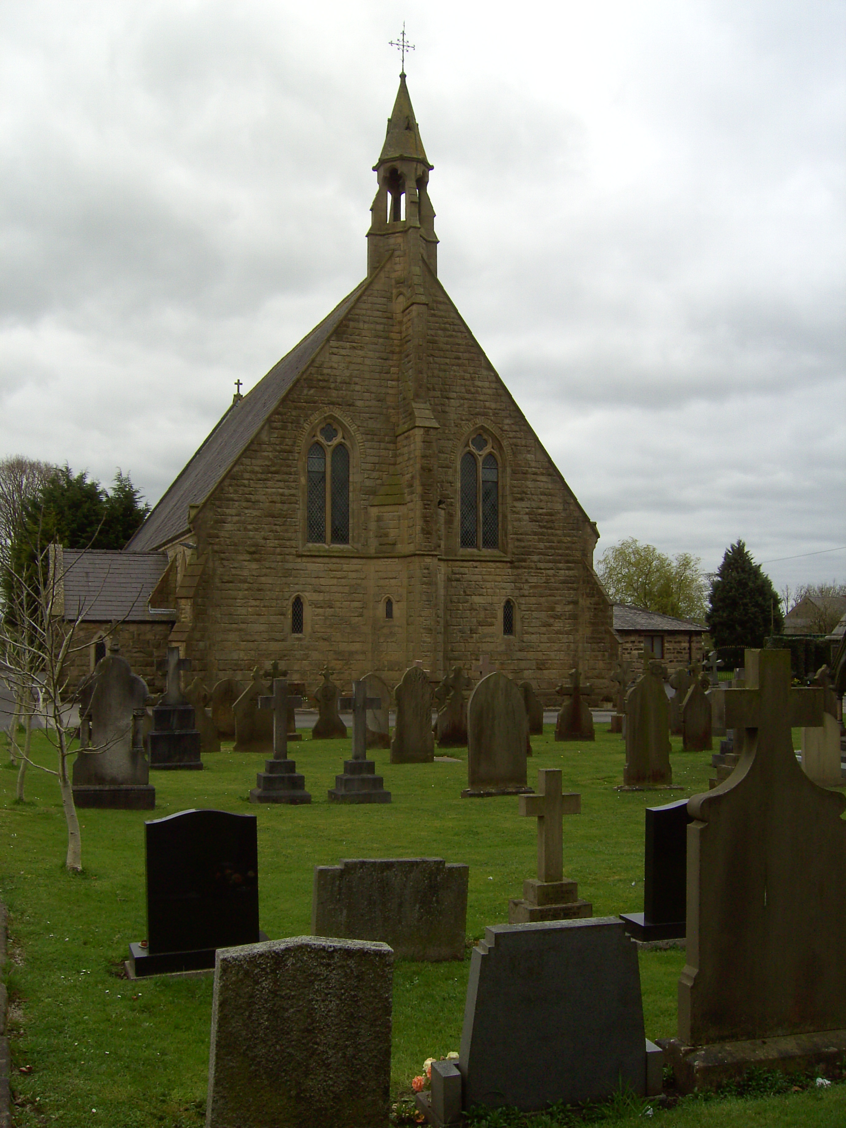
| Description | : | Longridge is a medium-sized town and civil parish in the borough of Ribble Valley in Lancashire, England. It is situated 8 miles (13 km) north-east of the city of Preston. Our Lady and St. Michael Roman Catholic Church was founded in 1765. It is located at SD5970434880 (Lat/Lon 53.808639,-2.613406). |
frequently asked questions (FAQ):
-
Where is Our Lady and St. Michael Roman Catholic Churchyard?
Our Lady and St. Michael Roman Catholic Churchyard is located at Alston Lane Longridge, Ribble Valley Borough ,Lancashire , PR3 3BJEngland.
-
Our Lady and St. Michael Roman Catholic Churchyard cemetery's updated grave count on graveviews.com?
0 memorials
-
Where are the coordinates of the Our Lady and St. Michael Roman Catholic Churchyard?
Latitude: 53.8088040
Longitude: -2.6133470
Nearby Cemetories:
1. St. Michael's Churchyard
Grimsargh, City of Preston, England
Coordinate: 53.7990710, -2.6352530
2. St Lawrence Churchyard
Longridge, Ribble Valley Borough, England
Coordinate: 53.8252470, -2.6015030
3. St Wilfred Roman Catholic Churchyard Cemetery
Longridge, Ribble Valley Borough, England
Coordinate: 53.8317380, -2.6086060
4. Preston Crematorium
Preston, City of Preston, England
Coordinate: 53.7863750, -2.6340170
5. Whittingham Hospital Cemetery
Goosnargh, City of Preston, England
Coordinate: 53.8208401, -2.6613468
6. St. Mary the Virgin Churchyard
Goosnargh, City of Preston, England
Coordinate: 53.8266470, -2.6707030
7. St Leonard Churchyard
Balderstone, Ribble Valley Borough, England
Coordinate: 53.7860070, -2.5609380
8. St. Mary's Churchyard
Preston, City of Preston, England
Coordinate: 53.8010830, -2.6779600
9. St. Mary's and St. John RC Churchyard, Southworth
Samlesbury, South Ribble Borough, England
Coordinate: 53.7676690, -2.6183400
10. St. Leonard the Less Churchyard
Samlesbury, South Ribble Borough, England
Coordinate: 53.7680000, -2.6237000
11. Preston New Cemetery
Ribbleton, City of Preston, England
Coordinate: 53.7717400, -2.6620900
12. Knowle Green Congregational Graveyard
Knowle Green, Ribble Valley Borough, England
Coordinate: 53.8380170, -2.5507210
13. St Wilfrid Churchyard
Ribchester, Ribble Valley Borough, England
Coordinate: 53.8102780, -2.5332650
14. Preston Old Cemetery
Ribbleton, City of Preston, England
Coordinate: 53.7686352, -2.6623154
15. St William of York Churchyard
Thornley with Wheatley, Ribble Valley Borough, England
Coordinate: 53.8559540, -2.5866660
16. The Church of St. Saviour The Holy House of Stydd
Ribchester, Ribble Valley Borough, England
Coordinate: 53.8188690, -2.5272770
17. St Mary's R.C. Church Cemetery
Osbaldeston, Ribble Valley Borough, England
Coordinate: 53.7816970, -2.5350240
18. St. Mary's Churchyard
Mellor, Ribble Valley Borough, England
Coordinate: 53.7728600, -2.5312400
19. St. John Baptist Churchyard
Broughton-in-Amounderness, City of Preston, England
Coordinate: 53.8033700, -2.7170400
20. Christ Church Churchyard
Fulwood, City of Preston, England
Coordinate: 53.7771920, -2.7028700
21. Mellor Methodist Churchyard
Blackburn, Blackburn with Darwen Unitary Authority, England
Coordinate: 53.7742950, -2.5255060
22. Church of St James
Goosnargh, City of Preston, England
Coordinate: 53.8657750, -2.6719410
23. St. Paul Churchyard
Preston, City of Preston, England
Coordinate: 53.7625360, -2.6947080
24. St. Ignatius RC Churchyard
Preston, City of Preston, England
Coordinate: 53.7635270, -2.6965870