| Memorials | : | 0 |
| Location | : | Derry Hill, Wiltshire Unitary Authority, England |
| Coordinate | : | 51.4368890, -2.0654300 |
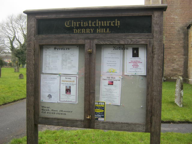
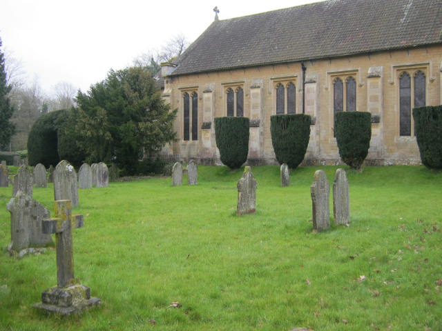
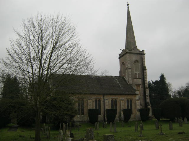
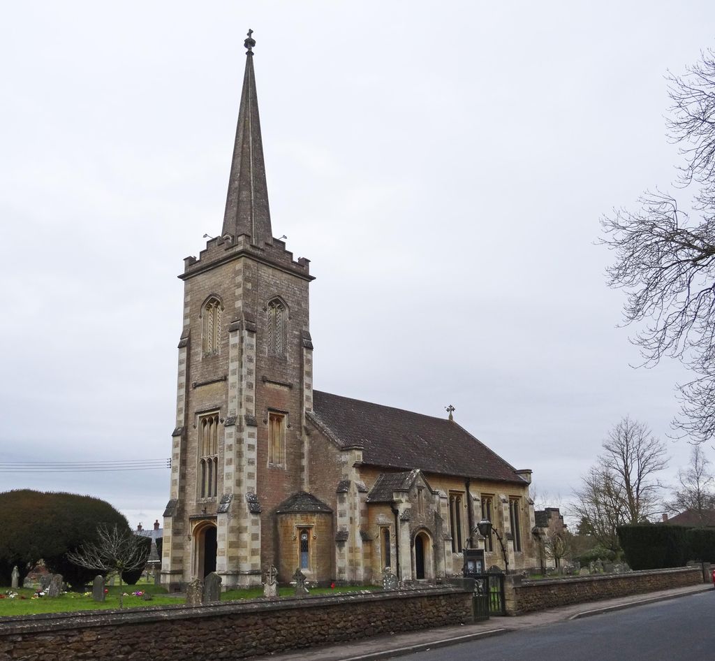
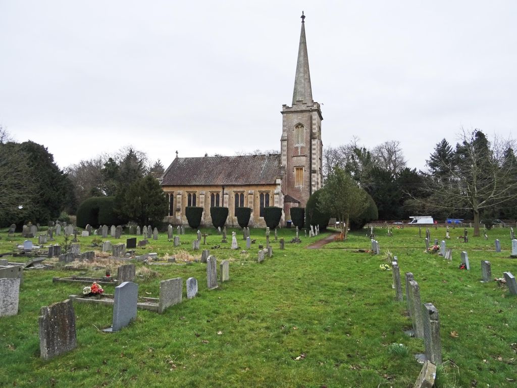
| Description | : | The church was originally built as a ‘Chapel of Ease' for the residents of Derry Hill and Studley; most of whom worked on the Bowood Estate and lived far from the nearest parish church. The foundation stone was laid on Monday 29th July 1839 and the church was finished and dedicated the following year, the year of Queen Victoria's wedding and the year in which Rowland Hill introduced his famous Penny Post. |
frequently asked questions (FAQ):
-
Where is Christ Church?
Christ Church is located at Church Road Derry Hill, Wiltshire Unitary Authority ,Wiltshire , SN11 9QYEngland.
-
Christ Church cemetery's updated grave count on graveviews.com?
0 memorials
-
Where are the coordinates of the Christ Church?
Latitude: 51.4368890
Longitude: -2.0654300
Nearby Cemetories:
1. London Road Cemetery
Chippenham, Wiltshire Unitary Authority, England
Coordinate: 51.4506852, -2.0978890
2. Curzon Street Cemetery
Calne, Wiltshire Unitary Authority, England
Coordinate: 51.4409010, -2.0107130
3. Chittoe Graveyard
Chippenham, Wiltshire Unitary Authority, England
Coordinate: 51.3985740, -2.0637040
4. St Mary the Virgin Churchyard
Calne, Wiltshire Unitary Authority, England
Coordinate: 51.4371650, -2.0027540
5. Calne Holy Trinity Churchyard
Calne Without, Wiltshire Unitary Authority, England
Coordinate: 51.4303550, -1.9975930
6. St Giles Church Tytherton Kellaways
Chippenham, Wiltshire Unitary Authority, England
Coordinate: 51.4805660, -2.0756870
7. St. Nicholas' Churchyard
Bromham, Wiltshire Unitary Authority, England
Coordinate: 51.3857110, -2.0543780
8. Bromham Cemetery
Bromham, Wiltshire Unitary Authority, England
Coordinate: 51.3854000, -2.0538000
9. St John the Baptist, Foxham
Bremhill, Wiltshire Unitary Authority, England
Coordinate: 51.4939942, -2.0348493
10. St Barnabas Churchyard
Beanacre, Wiltshire Unitary Authority, England
Coordinate: 51.3936935, -2.1398827
11. St Paul with Allington Mission
Allington, Wiltshire Unitary Authority, England
Coordinate: 51.4753340, -2.1530720
12. St Swithin Churchyard
Compton Bassett, Wiltshire Unitary Authority, England
Coordinate: 51.4433640, -1.9569990
13. All Saints Church
Christian Malford, Wiltshire Unitary Authority, England
Coordinate: 51.5050060, -2.0586920
14. St Bartholomew Churchyard
Corsham, Wiltshire Unitary Authority, England
Coordinate: 51.4338640, -2.1822900
15. Bradenstoke Priory
Bradenstoke, Wiltshire Unitary Authority, England
Coordinate: 51.5122220, -2.0036110
16. Saint Mary the Virgin Churchyard
Bradenstoke, Wiltshire Unitary Authority, England
Coordinate: 51.5133061, -2.0006892
17. St. Nicholas' Churchyard
Biddestone, Wiltshire Unitary Authority, England
Coordinate: 51.4606100, -2.2003700
18. St. Philip’s and St. James’
Corsham, Wiltshire Unitary Authority, England
Coordinate: 51.4125733, -2.2017900
19. St Nicholas Churchyard Extension
Biddestone, Wiltshire Unitary Authority, England
Coordinate: 51.4586102, -2.2046090
20. Atworth Independent Churchyard
Atworth, Wiltshire Unitary Authority, England
Coordinate: 51.3926890, -2.1991210
21. Saint Mary the Virgin Churchyard
Devizes, Wiltshire Unitary Authority, England
Coordinate: 51.3534370, -1.9930310
22. St Mary the Virgin Churchyard
Bishops Cannings, Wiltshire Unitary Authority, England
Coordinate: 51.3766560, -1.9471530
23. St. John The Baptist Churchyard
Devizes, Wiltshire Unitary Authority, England
Coordinate: 51.3502300, -1.9947490
24. St. Michael's Churchyard
Atworth, Wiltshire Unitary Authority, England
Coordinate: 51.3910250, -2.2037350

