
| Memorials | : | 0 |
| Location | : | Etchingham, Rother District, England |
| Coordinate | : | 51.0095830, 0.4416420 |
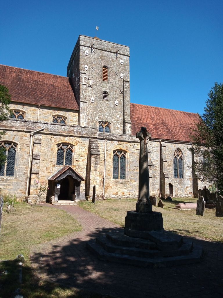
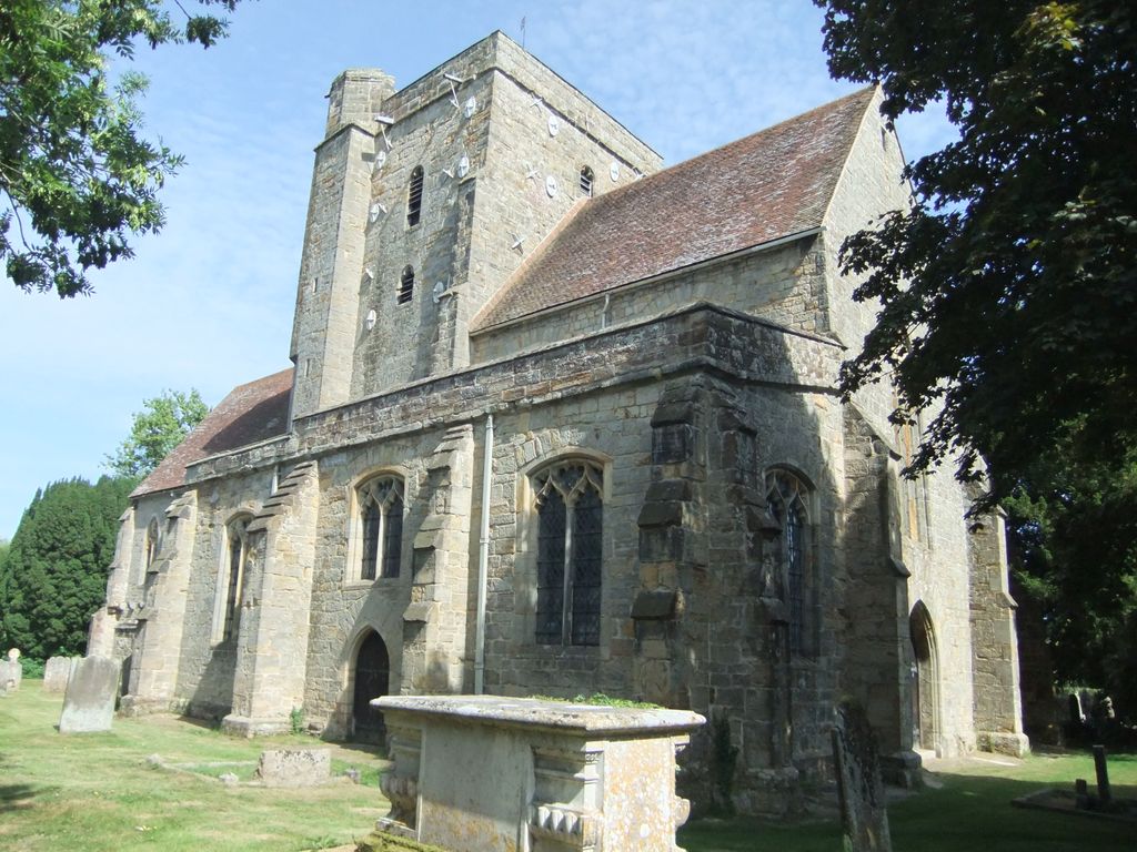
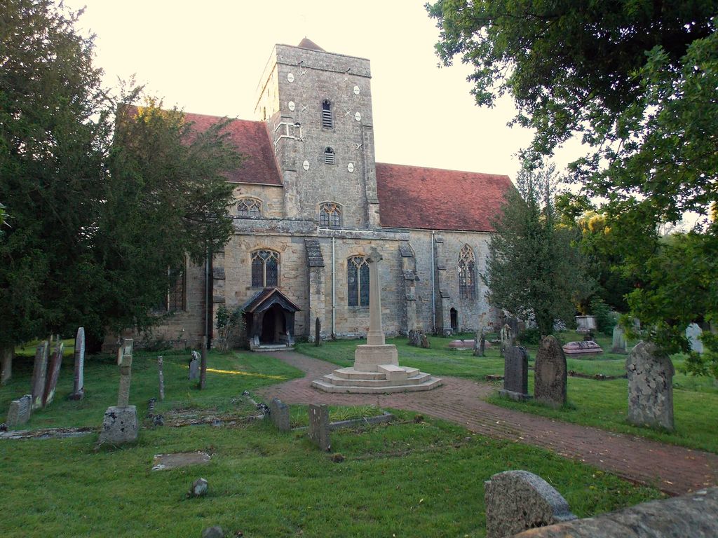
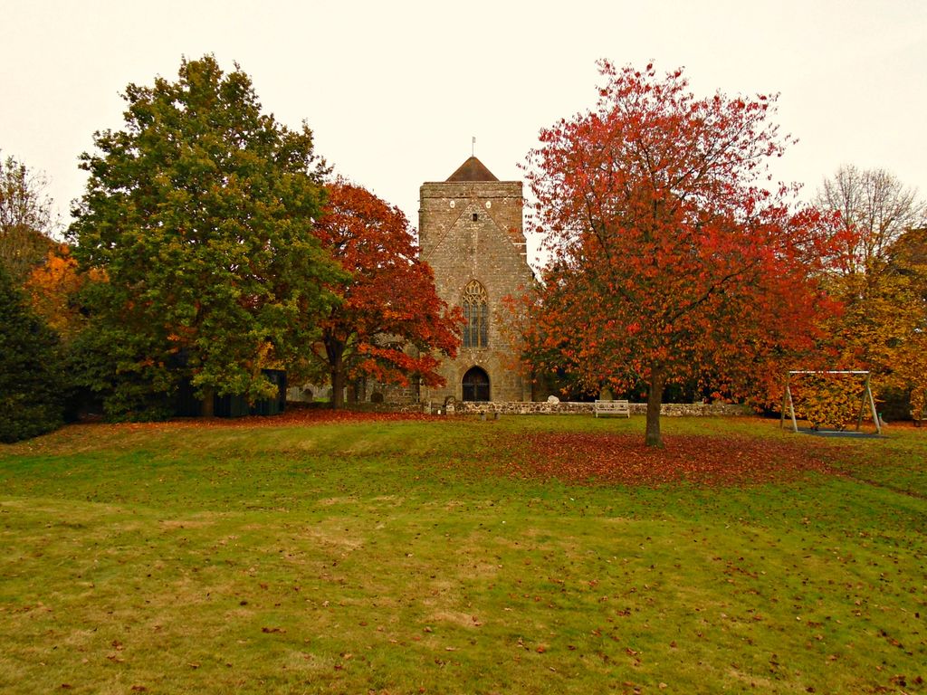
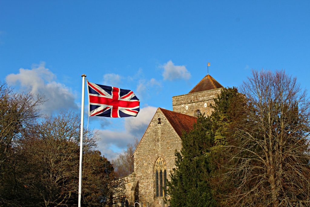
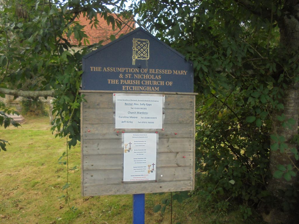
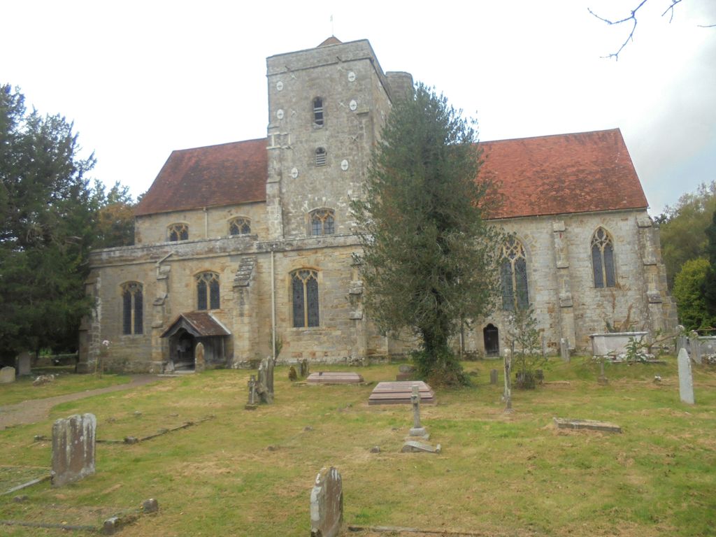
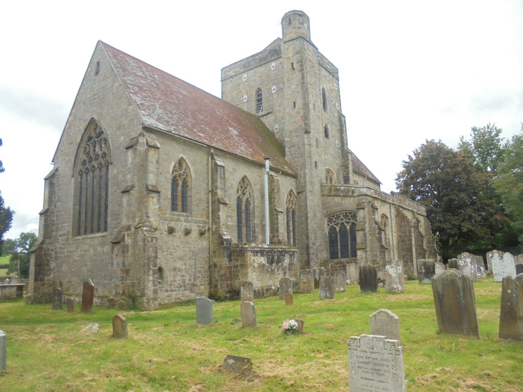
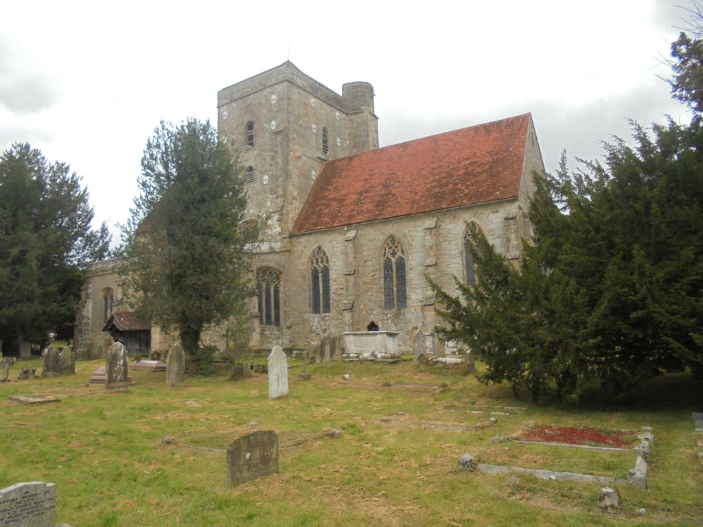
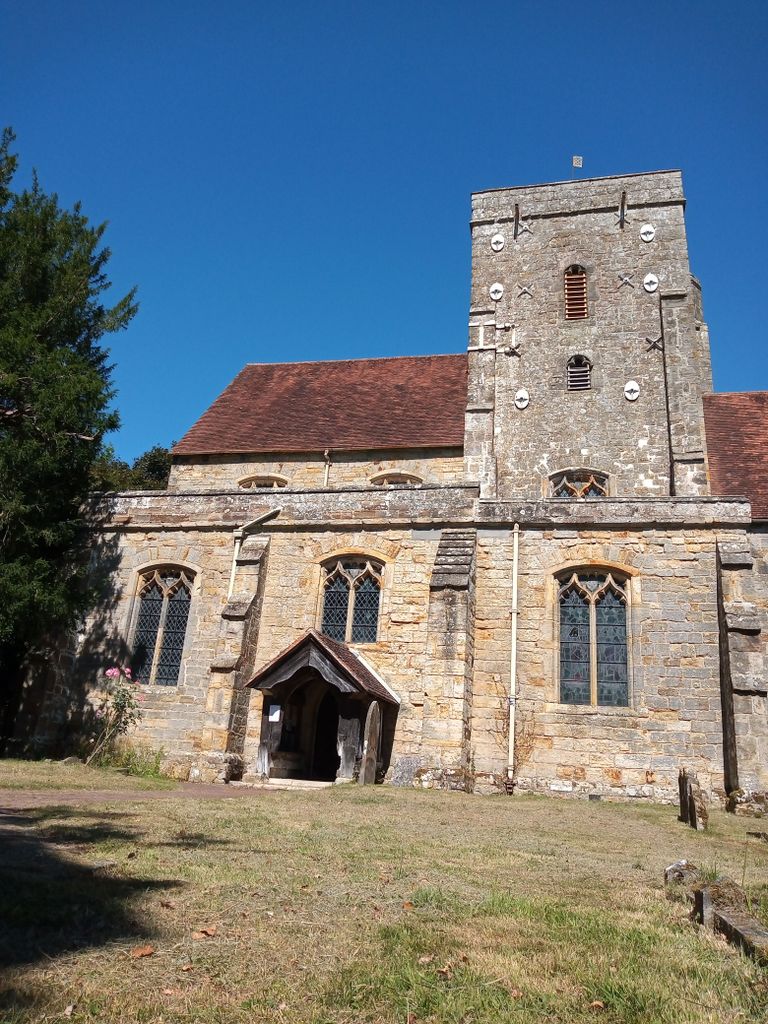
| Description | : | The 14th century Church, built by Sir William de Etchingham, is dedicated to the assumption Blessed Mary and St. Nicholas. The Church has a squat central tower with a tiled roof, this is topped off by what is thought to be the oldest brass weather vane in England with a pattern derived from the arms of the de Etchingham family. The Church also has one of the finest series of misericords in Sussex, second only to those in Chichester Cathedral. Sir William de Etchingham was buried in front of the Altar in 1389, a fine brass marks the tomb, the translated... Read More |
frequently asked questions (FAQ):
-
Where is Assumption of Blessed Mary & St. Nicholas Church?
Assumption of Blessed Mary & St. Nicholas Church is located at High Street Etchingham, Rother District ,East Sussex , TN19England.
-
Assumption of Blessed Mary & St. Nicholas Church cemetery's updated grave count on graveviews.com?
0 memorials
-
Where are the coordinates of the Assumption of Blessed Mary & St. Nicholas Church?
Latitude: 51.0095830
Longitude: 0.4416420
Nearby Cemetories:
1. Holy Trinity Churchyard
Hurst Green, Rother District, England
Coordinate: 51.0201400, 0.4691080
2. Darvell Bruderhof Cemetery
Robertsbridge, Rother District, England
Coordinate: 50.9790497, 0.4561470
3. St. Bartholomew's Churchyard
Burwash, Rother District, England
Coordinate: 50.9976470, 0.3887490
4. St Mary the Virgin Churchyard
Salehurst, Rother District, England
Coordinate: 50.9910170, 0.4911260
5. St. Mary's Churchyard
Ticehurst, Rother District, England
Coordinate: 51.0454030, 0.4077110
6. St. Joseph's Roman Catholic Churchyard
Burwash, Rother District, England
Coordinate: 50.9963500, 0.3782670
7. Saint Augustine's Churchyard
Flimwell, Rother District, England
Coordinate: 51.0514170, 0.4580350
8. Hawkhurst Cemetery
Hawkhurst, Tunbridge Wells Borough, England
Coordinate: 51.0302300, 0.5051300
9. St. Peter's Churchyard
Stonegate, Rother District, England
Coordinate: 51.0303090, 0.3747690
10. St. Laurence Churchyard
Hawkhurst, Tunbridge Wells Borough, England
Coordinate: 51.0377240, 0.5031610
11. St. Thomas A. Becket Churchyard
Brightling, Rother District, England
Coordinate: 50.9638440, 0.3961020
12. All Saints Churchyard
Mountfield, Rother District, England
Coordinate: 50.9558449, 0.4685820
13. Saint Giles' Churchyard
Bodiam, Rother District, England
Coordinate: 51.0074800, 0.5393000
14. St John The Baptist Churchyard
Mountfield, Rother District, England
Coordinate: 50.9404170, 0.4512760
15. St Philips Churchyard
Burwash, Rother District, England
Coordinate: 50.9889020, 0.3350510
16. Ewhurst Green Churchyard
Ewhurst, Rother District, England
Coordinate: 50.9924300, 0.5572900
17. St. Giles' Churchyard
Dallington, Rother District, England
Coordinate: 50.9470960, 0.3585090
18. Christ Church Churchyard
Kilndown, Tunbridge Wells Borough, England
Coordinate: 51.0907820, 0.4269340
19. St Mary Magdalene Churchyard
Whatlington, Rother District, England
Coordinate: 50.9365900, 0.5042980
20. St. Peter & St. Paul Churchyard
Wadhurst, Wealden District, England
Coordinate: 51.0626960, 0.3400690
21. St. John Baptist Anglcian Churchyard
Sedlescombe, Rother District, England
Coordinate: 50.9412440, 0.5281560
22. St Michael the Archangel Churchyard
Penhurst, Rother District, England
Coordinate: 50.9235920, 0.4092830
23. Tidebrook Churchyard
Wadhurst, Wealden District, England
Coordinate: 51.0467700, 0.3013730
24. St Mary the Virgin Churchyard
Lamberhurst, Tunbridge Wells Borough, England
Coordinate: 51.1040459, 0.4012690