
| Memorials | : | 0 |
| Location | : | Christchurch, Christchurch Borough, England |
| Coordinate | : | 50.7427800, -1.7940900 |
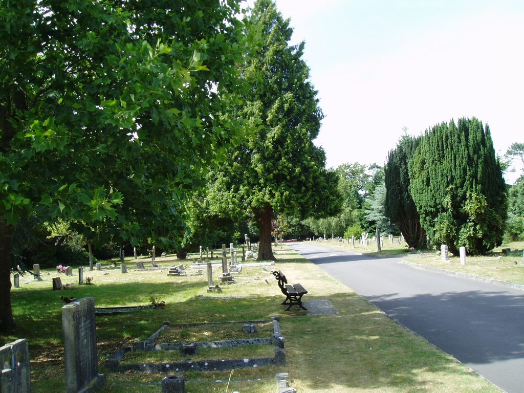
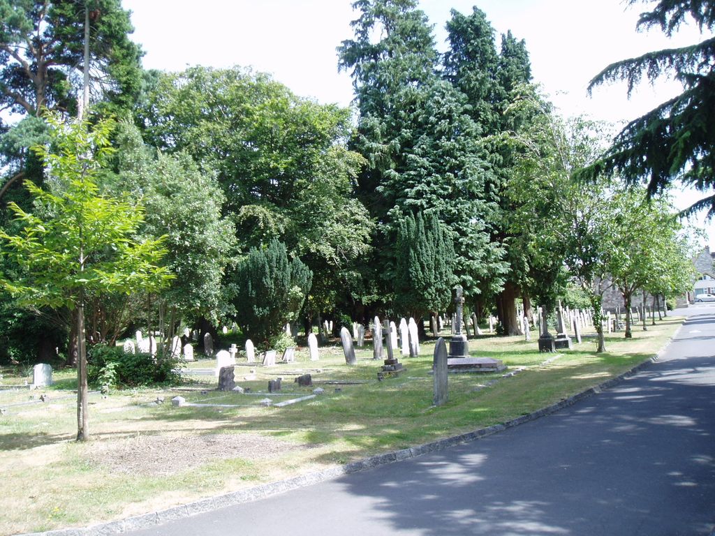
| Description | : | Christchurch Cemetery has been the principal burial place for the town since it opened on 1 January 1858. The first burial, that of Mrs Ann Dugdale of Parley, took place on the same day. A new cemetery had been required for some years because the town centre burial grounds were rapidly running out of space. In 1856 the Christchurch Burial Board acquired farmland at Grove Corner, about a mile to the north-west of the town, from local landowner Lord Malmesbury. The cemetery Lodge and two Chapels (Episcopalian and Dissenting) were designed by celebrated local architect Benjamin Ferrey in the Gothic Revival style... Read More |
frequently asked questions (FAQ):
-
Where is Christchurch Cemetery?
Christchurch Cemetery is located at Jumpers Road Christchurch, Christchurch Borough ,Dorset ,England.
-
Christchurch Cemetery cemetery's updated grave count on graveviews.com?
0 memorials
-
Where are the coordinates of the Christchurch Cemetery?
Latitude: 50.7427800
Longitude: -1.7940900
Nearby Cemetories:
1. Christchurch Congregational Church Graveyards
Christchurch, Christchurch Borough, England
Coordinate: 50.7347966, -1.7762867
2. Christchurch Priory Churchyard
Christchurch, Christchurch Borough, England
Coordinate: 50.7321550, -1.7742810
3. St James Churchyard
Bournemouth Unitary Authority, England
Coordinate: 50.7325437, -1.8208692
4. Pokesdown Congregational Church
Southbourne, Bournemouth Unitary Authority, England
Coordinate: 50.7308910, -1.8197670
5. St John the Evangelist Churchyard
Bournemouth Unitary Authority, England
Coordinate: 50.7564980, -1.8191740
6. St Luke's Churchyard
Burton, Christchurch Borough, England
Coordinate: 50.7532240, -1.7650090
7. East Cemetery
Bournemouth, Bournemouth Unitary Authority, England
Coordinate: 50.7318590, -1.8348290
8. St Michael and All Angels Churchyard
Sopley, New Forest District, England
Coordinate: 50.7697400, -1.7794200
9. Sopley Cemetery
Sopley, New Forest District, England
Coordinate: 50.7774250, -1.7847770
10. St Clement's Churchyard
Boscombe, Bournemouth Unitary Authority, England
Coordinate: 50.7287580, -1.8496680
11. Throop Jewish Cemetery
Bournemouth, Bournemouth Unitary Authority, England
Coordinate: 50.7600190, -1.8504310
12. Bournemouth Crematorium and North Cemetery
Bournemouth, Bournemouth Unitary Authority, England
Coordinate: 50.7455406, -1.8576280
13. Throop United Reform Churchyard
Throop, Bournemouth Unitary Authority, England
Coordinate: 50.7630100, -1.8497100
14. Wimborne Road Cemetery
Bournemouth, Bournemouth Unitary Authority, England
Coordinate: 50.7323220, -1.8739990
15. St Mary the Virgin Churchyard
Bransgore, New Forest District, England
Coordinate: 50.7766150, -1.7302940
16. St. Mark Churchyard
Highcliffe, Christchurch Borough, England
Coordinate: 50.7402900, -1.7100050
17. St John the Baptist Churchyard
Bournemouth, Bournemouth Unitary Authority, England
Coordinate: 50.7500600, -1.8778700
18. St Peter Churchyard
Bournemouth, Bournemouth Unitary Authority, England
Coordinate: 50.7205020, -1.8755870
19. All Saints Churchyard
West Parley, East Dorset District, England
Coordinate: 50.7710152, -1.8783700
20. St Michael and All Angels Churchyard
Hinton, New Forest District, England
Coordinate: 50.7623700, -1.7002000
21. Hinton Park Woodland Burial Ground
Walkford, Christchurch Borough, England
Coordinate: 50.7572900, -1.6907090
22. St Paul Churchyard
Bisterne, New Forest District, England
Coordinate: 50.8102700, -1.7900000
23. East Howe United Reformed Church Cemetery
Bournemouth, Bournemouth Unitary Authority, England
Coordinate: 50.7590790, -1.8996290
24. St. Mark's Churchyard
Bournemouth Unitary Authority, England
Coordinate: 50.7464670, -1.9026870