
| Memorials | : | 0 |
| Location | : | Christchurch, Christchurch Borough, England |
| Coordinate | : | 50.7347966, -1.7762867 |
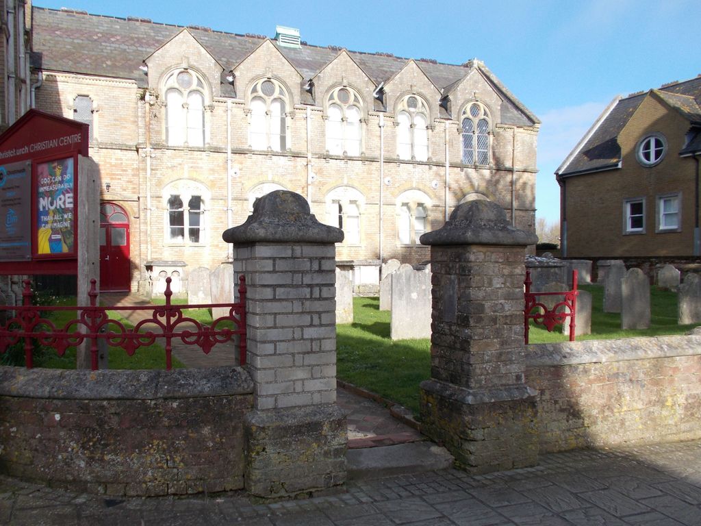
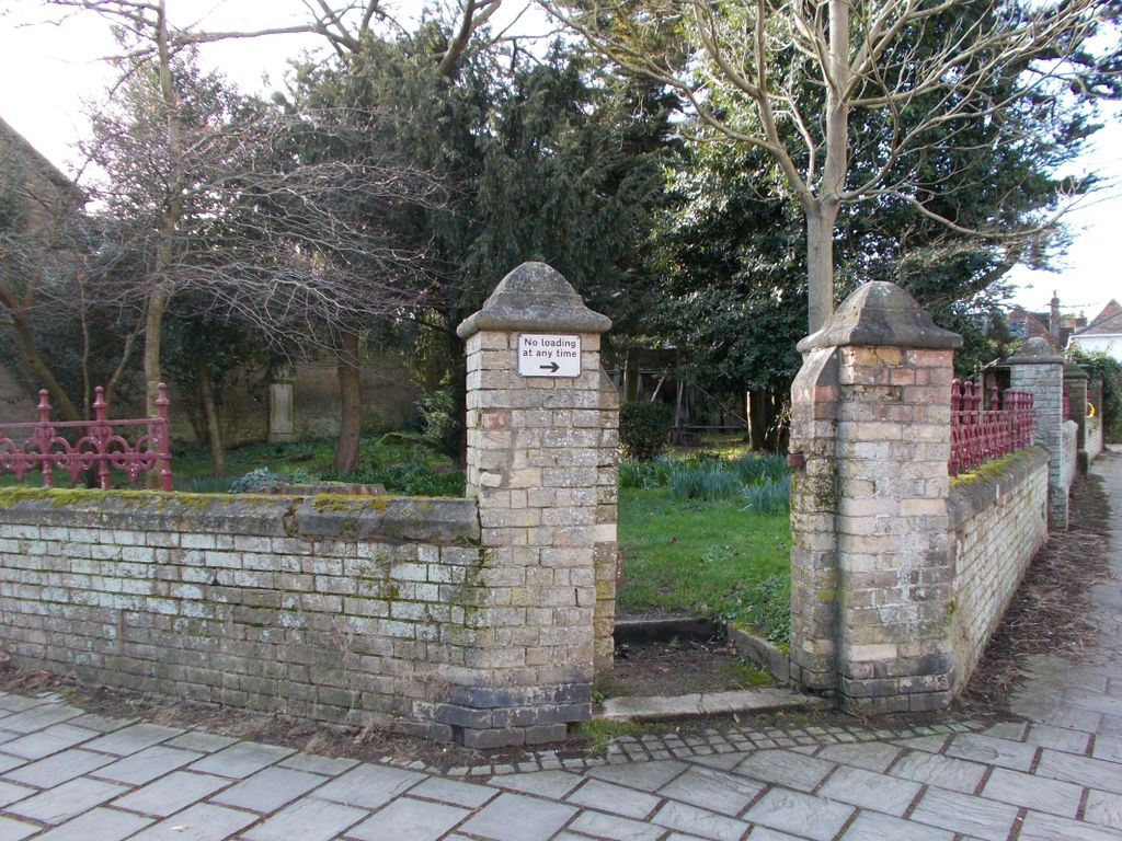
| Description | : | Twin Non-Conformist cemetery plots on opposite sides of Millhams Street. On the north side a graveyard adjacent to the church (founded c.1655, rebuilt 1866) and on the south side a burial ground that now has the tombstones relocated to its boundary walls. Both plots were closed to new burials on 1st January 1858 when they were superseded by Christchurch Cemetery. This twin site has Historic England Grade II listing. |
frequently asked questions (FAQ):
-
Where is Christchurch Congregational Church Graveyards?
Christchurch Congregational Church Graveyards is located at Millhams Street Christchurch, Christchurch Borough ,Dorset , BH23 1DNEngland.
-
Christchurch Congregational Church Graveyards cemetery's updated grave count on graveviews.com?
0 memorials
-
Where are the coordinates of the Christchurch Congregational Church Graveyards?
Latitude: 50.7347966
Longitude: -1.7762867
Nearby Cemetories:
1. Christchurch Priory Churchyard
Christchurch, Christchurch Borough, England
Coordinate: 50.7321550, -1.7742810
2. Christchurch Cemetery
Christchurch, Christchurch Borough, England
Coordinate: 50.7427800, -1.7940900
3. St Luke's Churchyard
Burton, Christchurch Borough, England
Coordinate: 50.7532240, -1.7650090
4. Pokesdown Congregational Church
Southbourne, Bournemouth Unitary Authority, England
Coordinate: 50.7308910, -1.8197670
5. St James Churchyard
Bournemouth Unitary Authority, England
Coordinate: 50.7325437, -1.8208692
6. St John the Evangelist Churchyard
Bournemouth Unitary Authority, England
Coordinate: 50.7564980, -1.8191740
7. St Michael and All Angels Churchyard
Sopley, New Forest District, England
Coordinate: 50.7697400, -1.7794200
8. East Cemetery
Bournemouth, Bournemouth Unitary Authority, England
Coordinate: 50.7318590, -1.8348290
9. St. Mark Churchyard
Highcliffe, Christchurch Borough, England
Coordinate: 50.7402900, -1.7100050
10. Sopley Cemetery
Sopley, New Forest District, England
Coordinate: 50.7774250, -1.7847770
11. St Clement's Churchyard
Boscombe, Bournemouth Unitary Authority, England
Coordinate: 50.7287580, -1.8496680
12. St Mary the Virgin Churchyard
Bransgore, New Forest District, England
Coordinate: 50.7766150, -1.7302940
13. Bournemouth Crematorium and North Cemetery
Bournemouth, Bournemouth Unitary Authority, England
Coordinate: 50.7455406, -1.8576280
14. Throop Jewish Cemetery
Bournemouth, Bournemouth Unitary Authority, England
Coordinate: 50.7600190, -1.8504310
15. Throop United Reform Churchyard
Throop, Bournemouth Unitary Authority, England
Coordinate: 50.7630100, -1.8497100
16. St Michael and All Angels Churchyard
Hinton, New Forest District, England
Coordinate: 50.7623700, -1.7002000
17. Hinton Park Woodland Burial Ground
Walkford, Christchurch Borough, England
Coordinate: 50.7572900, -1.6907090
18. Wimborne Road Cemetery
Bournemouth, Bournemouth Unitary Authority, England
Coordinate: 50.7323220, -1.8739990
19. St Peter Churchyard
Bournemouth, Bournemouth Unitary Authority, England
Coordinate: 50.7205020, -1.8755870
20. St John the Baptist Churchyard
Bournemouth, Bournemouth Unitary Authority, England
Coordinate: 50.7500600, -1.8778700
21. All Saints Churchyard
Thorney Hill, New Forest District, England
Coordinate: 50.7966900, -1.7215500
22. St Mary Magdalene Churchyard
New Milton, New Forest District, England
Coordinate: 50.7481200, -1.6645700
23. New Milton Cemetery
New Milton, New Forest District, England
Coordinate: 50.7507690, -1.6650340
24. All Saints Churchyard
West Parley, East Dorset District, England
Coordinate: 50.7710152, -1.8783700