| Memorials | : | 0 |
| Location | : | Hall Green, Metropolitan Borough of Birmingham, England |
| Coordinate | : | 52.4341000, -1.8398200 |
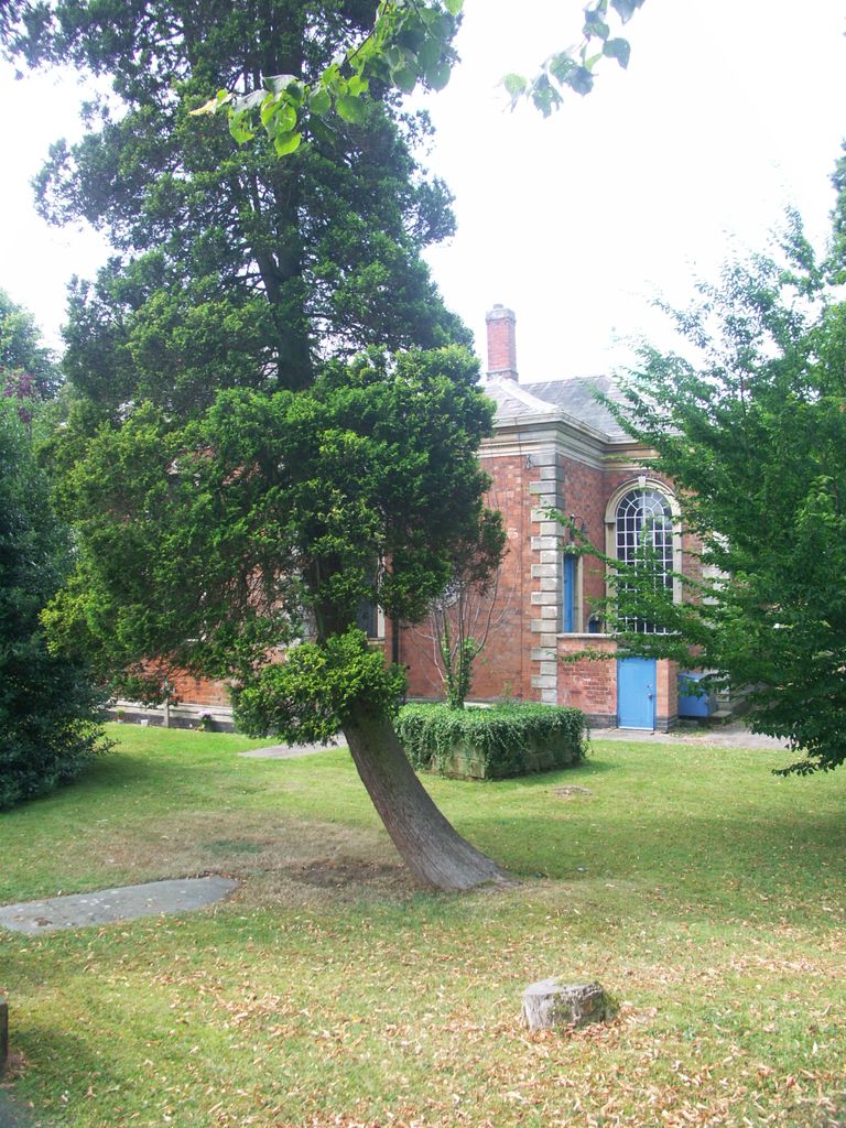
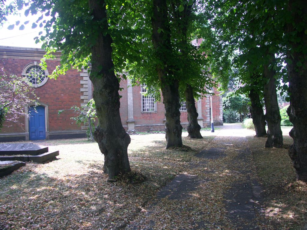
| Description | : | Previously known as Job Marston Chapel and later as Hall Green Parish Church. Completed in 1704 and believed to be designed by Sir William Wilson, it was named after Job Marston, a local resident who donated £1,000 towards the construction costs. The chancel and transcripts were added 1860-1866. On each side of the nave are three semi-circular leaded windows. In March 1907 the chapel became known as the parish church of Hall Green, in the new diocese of Birmingham, and to it's current name about 1933. It is the earliest classical church surviving within Birmingham, and in 1952 was given grade II... Read More |
frequently asked questions (FAQ):
-
Where is Church of The Ascension?
Church of The Ascension is located at School Road Hall Green, Metropolitan Borough of Birmingham ,West Midlands , B28 9DXEngland.
-
Church of The Ascension cemetery's updated grave count on graveviews.com?
0 memorials
-
Where are the coordinates of the Church of The Ascension?
Latitude: 52.4341000
Longitude: -1.8398200
Nearby Cemetories:
1. St. Mary's Churchyard
Acocks Green, Metropolitan Borough of Birmingham, England
Coordinate: 52.4475900, -1.8255700
2. Our Lady of Lourdes
Yardley Wood, Metropolitan Borough of Birmingham, England
Coordinate: 52.4221570, -1.8605590
3. Robin Hood Cemetery and Crematorium
Solihull, Metropolitan Borough of Solihull, England
Coordinate: 52.4206910, -1.8210050
4. Olton Franciscan Cemetery
Solihull, Metropolitan Borough of Solihull, England
Coordinate: 52.4262290, -1.8103680
5. Yardley Cemetery and Crematorium
Birmingham, Metropolitan Borough of Birmingham, England
Coordinate: 52.4567460, -1.8188210
6. Christ Church Churchyard
Yardley Wood, Metropolitan Borough of Birmingham, England
Coordinate: 52.4128140, -1.8645350
7. St James the Great Churchyard
Shirley, Metropolitan Borough of Solihull, England
Coordinate: 52.4072050, -1.8257760
8. St. Mary's Churchyard
Moseley, Metropolitan Borough of Birmingham, England
Coordinate: 52.4462000, -1.8866900
9. All Saints Churchyard
Kings Heath, Metropolitan Borough of Birmingham, England
Coordinate: 52.4330710, -1.8937240
10. Brandwood End Cemetery
Birmingham, Metropolitan Borough of Birmingham, England
Coordinate: 52.4181900, -1.8991100
11. Holy Trinity Churchyard
Bordesley, Metropolitan Borough of Birmingham, England
Coordinate: 52.4706200, -1.8776200
12. St. Alphege Churchyard
Solihull, Metropolitan Borough of Solihull, England
Coordinate: 52.4114020, -1.7759710
13. St. Edburgha's Churchyard
Yardley, Metropolitan Borough of Birmingham, England
Coordinate: 52.4745600, -1.8027400
14. St. Nicholas Churchyard
Elmdon, Metropolitan Borough of Solihull, England
Coordinate: 52.4429100, -1.7623100
15. Sisters of Charity of St Paul the Apostle Convent
Birmingham, Metropolitan Borough of Birmingham, England
Coordinate: 52.4393400, -1.9205200
16. St. Paul's Convent Cemetery
Birmingham, Metropolitan Borough of Birmingham, England
Coordinate: 52.4401580, -1.9217800
17. Kingswood Chapel Graveyard
Hollywood, Bromsgrove District, England
Coordinate: 52.3913600, -1.8872000
18. St Martin in the Bull Ring
Birmingham, Metropolitan Borough of Birmingham, England
Coordinate: 52.4770050, -1.8932950
19. St Bartholomew Churchyard
Edgbaston, Metropolitan Borough of Birmingham, England
Coordinate: 52.4606870, -1.9170890
20. St. Saviour Churchyard
Saltley, Metropolitan Borough of Birmingham, England
Coordinate: 52.4872100, -1.8579400
21. St Thomas Bath Row
Birmingham, Metropolitan Borough of Birmingham, England
Coordinate: 52.4731740, -1.9062371
22. St. James the Less Churchyard
Birmingham, Metropolitan Borough of Birmingham, England
Coordinate: 52.4867050, -1.8797570
23. Old Quaker Burial Ground
Birmingham, Metropolitan Borough of Birmingham, England
Coordinate: 52.4823770, -1.8960750
24. Birmingham Cathedral
Birmingham, Metropolitan Borough of Birmingham, England
Coordinate: 52.4812000, -1.8989060


